
This article contains affiliate links that may earn me a small commission at no extra cost to you. As an Amazon Associate, I earn from qualifying purchases. For more information, see our affiliate disclaimer.
The Carretera Austral is a 1,247 km highway in Chilean Patagonia. Directly translating as the Southern Highway and also known as Ruta 7, ‘highway’ is a loose term here!
This half unpaved, single lane road is full of potholes, bone rattling corrugations and some of the most incredible scenery in South America. The continuity of the highway is broken by fjords in three places, with car ferries the only way to continue this remote and rugged journey.
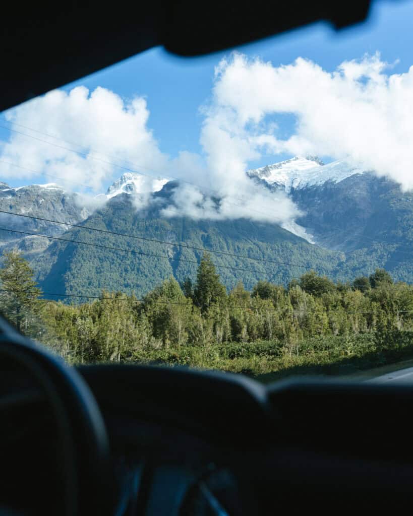
It winds past the Andes mountains to the east and the Pacific Ocean and its maze of fjords to the west. It travels through the Northern and Southern Patagonian Icefields, past temperate rainforest dripping with green, and below towering jagged peaks. There are crystal clear rivers, dozens of national parks, countless sparkling lakes, and charming rural towns in places you wouldn’t even imagine were habitable.
In short, this is one of the most epic and adventurous parts of Patagonia, far from the crowds in what feels like the end of the earth.
This post is my mega Carretera Austral planning guide, designed to be your starting point for understanding the highway, its towns and attractions, transport options, logistics for entering and exiting the region, just how remote it actually is, as well as copious amounts of other handy tips and info.
Strap in, this is a big one, but by the end, you will be much more prepared and ready for the road trip of a lifetime along Chile’s Carretera Austral!


About the Carretera Austral
The Carretera Austral (translated as the ‘Southern Highway’ in English) is a famous road in Patagonia, connecting a string of remote towns and rugged scenery in the Los Lagos and Aysen regions of Chile.
The highway, also known as Ruta 7, begins at km 0 in the city of Puerto Montt in the north, extending 1,247 km to Villa O’Higgins at its southern end.
It is the only road access to this remote part of Patagonia. Prior to the construction of the Carretera Austral, the Aysen Region was effectively cut off from the rest of the country, only accessible via boat, air or across the Argentine border.
Construction of the road was ordered by the military dictator Augusto Pinochet in the 1970s, as a method of strengthening sovereignty and connecting the remote towns of Patagonia to the rest of the country.
The pressure to connect these towns and stamp Chile’s power over the region was intensified by land disputes with Argentina, with hotly contested border regions around the Andes.
Building this highway was no easy feat. In 1976, more than 10,000 soldiers from the Chilean Army started work on the road, with immense engineering challenges. This raw and rugged region is full of glaciers, lakes, fjords, rivers, icefields and enormous mountains – all obvious barriers to a road!
It took decades of work in extreme conditions to complete the highway and various side roads throughout the region. The Carretera Austral was not officially done until 2003, and even then, about half of it remains unpaved with bone-rattling corrugations, steep gravel hills and narrow, winding curves.
There are three points along the road where even the greatest engineers could not overcome the fjords, and a ferry is required to travel continuously along the highway.
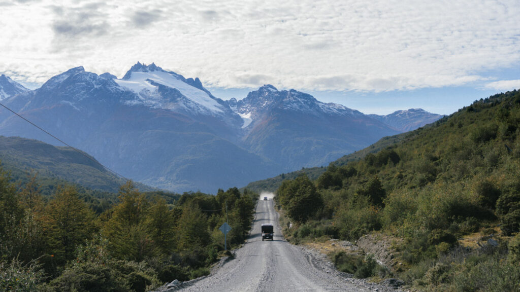
Today, the northern part of the highway is mostly paved, from Puerto Montt to Villa Cerro Castillo. South of here, it’s all unpaved, in varying condition. Road works are ongoing, and are a way of life on the Carretera Austral, often causing significant delays on this single-lane road, especially in summer.
Despite the great length of the highway and the mammoth effort required to build it, the road only provides connectivity to about 100,000 people, and more than half of them live in the regional capital of Coyhaique.
Aysen is one of the most sparsely populated regions on the continent, and the real treasure of this highway is not the towns or cities; it’s the access to some of Patagonia’s most beautiful and untouched nature.

PLANNING YOUR CARRETERA AUSTRAL ROAD TRIP CAN BE CONFUSING… I KNOW, I’VE BEEN THERE!
I spent months planning our Carretera Austral road trip – jumping between tabs, scribbling notes, and trying to remember ferry times. It’s a confusing region, and it’s easy to get it wrong!
That’s why I created the Carretera Austral Road Trip Handbook: all the info you need in one beautifully designed guide, available offline while you’re on the highway. Pair it with our Custom Google Map (500+ pins!), and you’ll have a clear, stress-free plan for the road trip of a lifetime – before you leave and while you’re on the highway.
Why you should road trip the Carretera Austral
If you’re here, I don’t think I need to convince you too much that exploring the Carretera Austral is one big, epic, beautiful adventure.
The highway passes through the most remote region of Chilean Patagonia, with dozens of national parks, glaciers, forests, rivers, lakes and some of the rawest and untouched nature you’ll find in South America.
It is widely considered one of the most scenic and rugged road trips in the world. It’s a lesser-known part of Patagonia that most visitors won’t experience, that is well off the beaten path with remote and far-flung towns surrounded by what I think must be some of the world’s most beautiful scenery.
If you like going somewhere different, seeing something out of the ordinary and experiencing entirely isolated and unique places, the Carretera Austral is for you.
The diversity of landscapes in this part of Chile is immense and astounding, and you can experience everything from expansive icefields with countless glaciers, jagged rocky peaks, lush temperate rainforests, sparkling alpine lakes, fjords with whales and dolphins and everything in between.
On a more logistical level, the Carretera Austral provides an excellent missing piece in a lot of people’s Patagonia itineraries, and they don’t even realise.
Outside of Torres del Paine and Puerto Natales, Argentine Patagonia still seems to attract more tourists. Most visitors want to explore El Chalten and El Calafate in the south, before making the long journey north to Bariloche and the Lake District.
Those with the budget will fly, but many people opt for a 24+ hour bus ride through the frankly boring and plain Argentine steppe. The eastern side of the Andes in Argentina is a much drier climate, and we were shocked at how flat and endless the landscape felt in this part of Patagonia.
But zoom back over the mountains to Chilean Patagonia, the Carretera Austral, and there is a stunning and much more varied collection of landscapes and attractions to be explored on an epic road trip. A much more valuable use of travel time, in my opinion!
The Carretera Austral is an alternative way of connecting south and north Patagonia (or vice versa), and can easily be combined with other popular destinations in Chilean and Argentine Patagonia.


Best time to visit
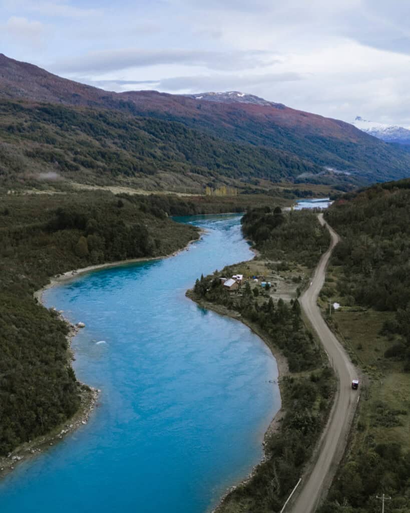
The climate in Patagonia is fierce and unpredictable year-round, and no matter when you visit, you need to be prepared for all seasons!
Rain, wind, snow, sunshine, cloud – it’s all possible, all the time.
As someone who gets very disappointed when the weather doesn’t play ball with my plans, my best advice is to remain very flexible and be very prepared for entire days to be wiped off your itinerary due to bad weather.
We often jam-packed one day from dawn to dusk, squeezing in as many trails and activities as we could, to make up for spending the entire next day in our camper in torrential rain.
Having a bit of buffer in your itinerary for the weather is always a good idea in this part of the world.
The Carretera Austral has a multitude of climates, but in my mind, there are two major differences between the north and south.
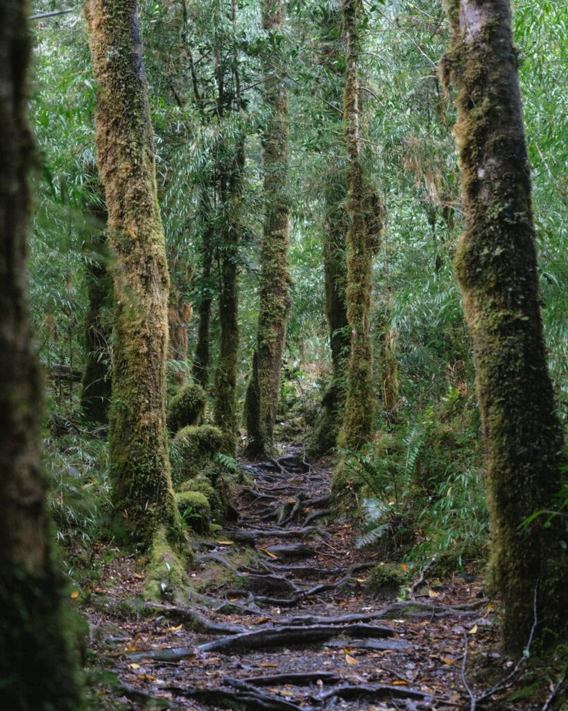
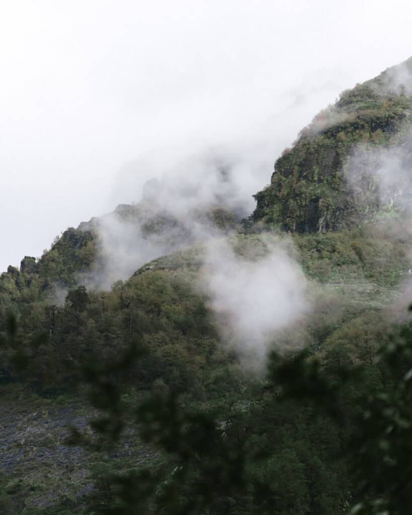
- 🌿 Northern area: from Puerto Montt – around Puyuhuapi, is a much moister, wetter climate full of temperate rainforest with milder temperatures. Some of these towns and national parks are crowned as the wettest places in Chile, receiving up to 4,000 mm of rain annually. Temperatures don’t dip as low as in the south, but rain, mist, cloud and fog are much more common year-round.
- 🏔️ Southern area: from around Coyhaique south, is a drier, colder, windier climate. You can expect much lower minimum temperatures, stronger, icy winds and a lot more visible snow at high elevations. It does rain, don’t be under any false impression! However, it is overall much drier than the north.
Generally, the best time to visit the region is between October – April, but there are seasonal variations during this time.
- 🌼 Late spring (October / November): this is an amazing time of year to visit to beat the crowds of summer, but still get some favourable weather. The snow is melting, flowers are blooming, and the days are getting longer. The weather can still be unpredictable, so pack for all seasons and prepare for low temperatures, possible snow at higher altitudes and, as always, rain and wind. Depending on the area of the highway, you can expect temperatures from around -2°C to 16°C.
- 🌞 Summer (December / January / February): considered the best time of year to visit the Carretera Austral and Patagonia more broadly. This is your best chance for sunny days, with very long daylight hours (14 – 16 hours) and reportedly less rain. Temperatures generally vary from 2°C to 22°C, cooler in the south and much milder in the north. However, the flip side is that summer is when the fierce Patagonian winds are at their worst, and you will have to deal with larger crowds, as well as annoying horseflies and other insects. ‘Crowded’ in the Carretera Austral is nothing compared to the more popular destinations of southern Patagonia, but a lot of these towns are pretty tiny, and they can feel crammed in the peak of the season.
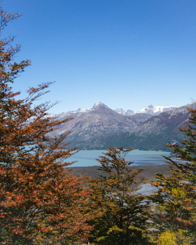
- 🍁 Early Autumn (March / April): this is when we visited the Carretera Austral, and it was almost perfect. The days are cooler and shorter, but there is still plenty of sunshine and very little wind. Expect temperatures from around 0°C to 18°C. There are very few crowds as the domestic tourists have gone back to school and work. The golden leaves in the southern half of the highway are a very special element to your trip, and we were constantly in awe of the vibrant sea of colours in the forest. The downside is that this time of year can be very wet, particularly from mid-late April onwards, and more commonly in the north. By the end of our time (late-April), we’d pretty much lost the good weather, but if we had been a few weeks earlier, I think this would have been the ideal time.
I wouldn’t recommend visiting too much later than April, as a lot of restaurants, tourism businesses and accommodations shut down for the winter season. Plus, you’re faced with a lot of snow and ice on the roads, which makes driving very hazardous.
If you love winter, are interested in snow sports, and have experience driving in snowy and icy conditions, the highway isn’t entirely shut down during winter, as a lot of people will have you believe. I would advise you to do a lot more pre-planning and booking, though, just to be sure there are enough places open to get by.

Things to know before visiting the Carretera Austral
- ⚠️ Safety: we felt completely safe everywhere on the Carretera Austral. This is a very remote part of the world where nature reigns supreme, and most people living here are farmers or involved in tourism. These tiny towns are incredibly welcoming, and people are friendly, with little to no crime.
- 🗣️ Language: Spanish is the official language in Chile, and there is barely any English spoken in the remote towns of the Carretera Austral. It is definitely worth brushing up as much as you can in advance, and at the very least, having Spanish pre-downloaded on your Google Translate for offline use. Chilean Spanish is notoriously hard to understand, so even if you’ve got a decent level of Spanish, be prepared to struggle with their unique vocabulary, fast speaking and mumbling!
- 💰 Currency: the currency in Chile is the Chilean Peso (CLP). While in some more touristy areas of the country, US Dollars are occasionally accepted for tourist activities, this isn’t the case in Carretera Austral. All of our transactions were in pesos and you should be prepared to pay for most things in cash. Some businesses will accept card, but you should never assume. Keep a healthy stack of cash on hand.
- ⏰ Time zones: the Carretera Austral spans two regions of Chile – Los Lagos in the north until around Chaiten, and Aysen for the remainder. Chile follows daylight saving time, when clocks are turned forward 1 hour from the start of September and turned back 1 hour at the start of April. However, Aysen does not change its clocks and they stay on summer (daylight saving time) year-round. This means the time is the same on the entire highway from September – April, but from April – September, there is a 1-hour difference between the two regions, which caught us out!
Amenities on the Carretera Austral
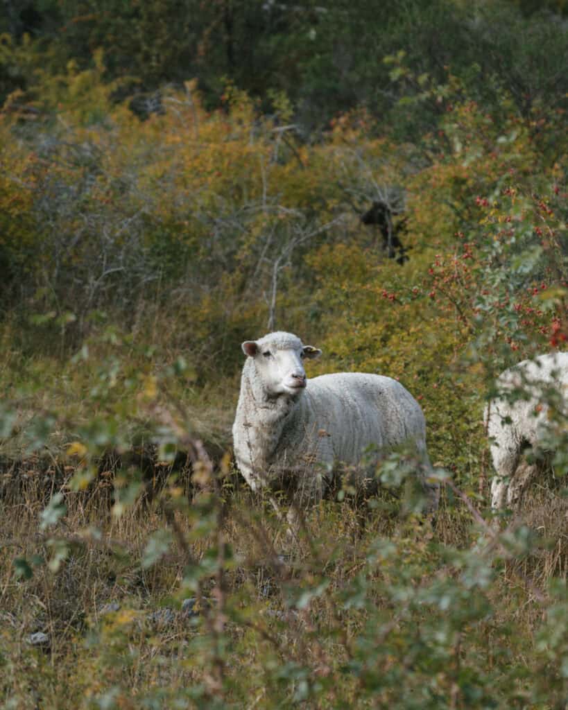
A lot of the information you see online will have you believe that this region is wild and empty, with just nature and sheep. That’s not too far from the truth, and between towns, there is virtually nothing. It’s rugged and experiences extreme conditions, and is very remote with tricky access to the rest of the country.
However, in the little towns that dot the highway, there were far more amenities than I expected. That’s not to say you shouldn’t be prepared, but it wasn’t as bad as I thought.
- ⛽️ Petrol stations: COPEC is Chile’s biggest gas station chain, and they have the primary market share on the Carretera Austral. Nearly every major town has a COPEC station, and there is no shortage. A lot of them looked very new, so I think this is quite a recent expansion.
Regardless, it’s still good practice to fill up whenever you see one. We never let our car get below half, because you must remember that even if there is a petrol station, it doesn’t mean that they actually have any fuel. They do occasionally run out, and some stations only have diesel, not unleaded, or vice versa. So fill up whenever you pass one.
Most COPECs also have air for your tyres, often water taps, and some even have little bike repair stations. It’s a great amenity for travellers.
- 🏧 ATMs: another amenity that seems to be improving in recent years is the availability of ATMs. They are not in every town, but I’d say at least half of the towns along the highway have an ATM. Most are Banco Estado, which we thought was the best bank to use in Chile with a foreign card, as you can withdraw the highest amount of cash (~ 400,000 pesos) to make the most of the expensive Chilean ATM fees. The withdrawal fee is about 5,000 pesos (~$5 USD).
The reason the availability of ATMs is important is that not everywhere accepts credit cards. In bigger towns like Coyhaique, Chaiten, etc., we didn’t have any issues, but you must stay stocked with cash, as there are plenty of businesses that will not take cards.
- 🛒 Supermarkets: there is at least one supermarket/minimart in every single town on the Carretera Austral. You can get supplies, it’s just that the prices and availability vary widely.
Given that this region is quite remote with not that many restaurants, a lot of people do plan to self-cater. Whether that be with a camping vehicle, in accommodations with kitchens or so on, it’s not a bad idea to cook some meals each day, or at the very least, plan fresh non-cooked breakfasts, sandwiches, snacks, etc. to keep the costs down and stay well-fed in places without dining options.
One of Chile’s major supermarket chains, Unimarc, is in a couple of towns along the highway (Puerto Montt, Coyhaique and Puerto Aysen), and in the bigger towns of Punta Arenas and Puerto Natales if you’re coming from the south. This is the cheapest option with the biggest variety to stock up on groceries.
If you’ve got the ability to carry things (e.g. a car), I’d suggest buying a big load of non-perishables in these destinations, and supplementing with fresh produce, meat and baked goods in the smaller towns. Don’t have your heart set on any particular recipes or ingredients, though. Keep it simple and work with the stock you can find.
We do two major stock-ups, one in Punta Arenas, where we collected our car and again in Coyhaique. This pretty much sustained us for our entire road trip. We planned meals with mostly dry ingredients, but were able to collect some fresh produce and bread along the highway.
- 💦 Water: in most towns along the Carretera Austral (and in all of Patagonia, really), it’s safe to drink the water. It’s always best to triple-check before drinking, but this part of the world is very clean with fresh glacial water.
If you’ve got a vehicle, it’s not a bad idea to buy a big water jug from the supermarket (they sell 6-litre bottles) to have a vessel to keep a supply of water on hand. You can often fill up from waterfalls on the side of the road!
If you’ve got a camper/van/RV and you need to fill your tanks, that can be a little trickier. Some COPEC stations allow you to do this, but not everywhere. I touch on this more in my camping guide.
- 🍽️ Restaurants: similar to supermarkets, you will find at least one restaurant in every single town on the Carretera Austral. The quality and price are not guaranteed, and whether they are actually open or not is another story.
There is no requirement to cook or self-cater if you don’t want to, but the restaurant scene is nothing to write home about. In many of these tiny towns, food is simply sustenance, and supplies are hard to come by, so don’t expect gourmet meals or funky cuisine.
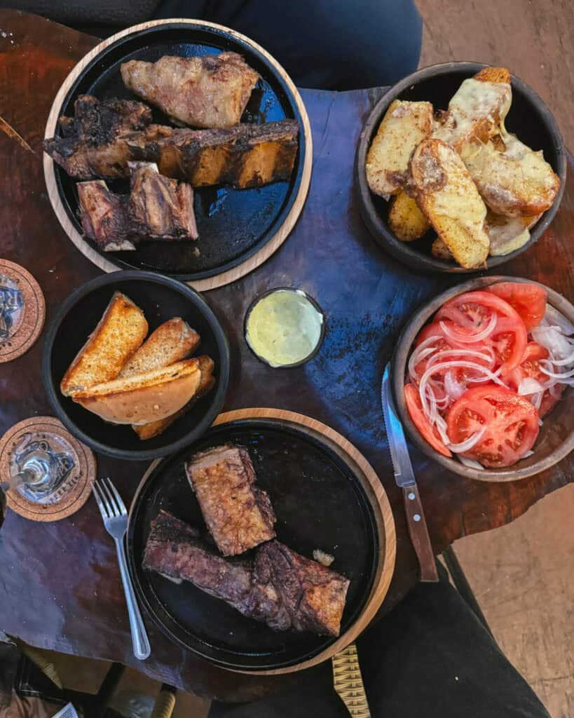
In saying that, we did have some great meals along the highway. The empanadas are excellent, salmon and river fish are freshly caught, and the typical Patagonian lamb is delicious.
I would recommend always having some snacks or an easy meal on hand, no matter how you’re travelling or where you’re staying. Restaurants aren’t always open when they say they are, transport takes longer than expected, weather can cancel ferries, and so many other possibilities. To avoid going hungry, always have some kind of food available.
- 📱Phone service: the phone service was better than I thought it was going to be, but not great. Outside of the towns, there is virtually nothing, so make sure you’ve pre-downloaded your Google Maps and iOverlander. In most towns, we had basic 4G, sometimes 5G and in rare cases, very slow 3G.
We had a local SIM card with Movistar which we bought and set up directly from their store (in Santiago, but they also have stores in Puerto Montt, Coyhaique, Puerto Natales and Punta Arenas).
Entel is considered the best provider for this area, however, due to new laws that came into effect in February 2025 banning foreigners from registering SIM cards in Chile, it’s nearly impossible to get an Entel SIM as a tourist. We had no problem buying a Movistar one; I think they did some quick thinking to find a workaround in their system, but Entel repeatedly told us in multiple stores that it was not possible.
I would highly recommend picking up a local SIM card before you arrive on the carretera, in a bigger city like Santiago, Puerto Montt or Punta Arenas. It would be tricky to track down a chip here and get it set up correctly.
- 🛜 Wifi: in the same vein as phone service, wifi is spotty and dependent on the town. Starlink is growing rapidly in popularity in Chile, and if you see a dish on the roof, you know the signal is going to be good.
If you’re travelling long-term through this region with a means to power it, bringing along a Starlink Mini is not a bad idea. We brought one to use in our camper, and it was a godsend. It allowed us to stay connected for our businesses, even when we were camping in nature outside of the towns, and there was no phone service.
We powered it via our camper battery system with a 12V cigarette lighter cable, so no inverter was required, and it didn’t drain too much power. You can only do this with the mini, not the regular Starlinks.
I share information about these amenities in my specific articles about each town, so you can get a better idea of what to expect in different parts of the highway.


Major towns and attractions on the Carretera Austral
There are so many towns, national parks and other natural attractions to visit along the Carretera Austral. It’s a region rich in natural beauty, and you could honestly spend years here and never see it all!
This is a list of the major towns and attractions along the Carretera Austral, from north to south. I’ve added a little ‘side quest’ note to destinations that are actually offshoots from the highway. Depending on the time you’ve got available, you want to detour to one, some or all of these destinations, but if you’re short on time, it does add extra driving time to go out and back from the main Ruta 7.
I have far more in-depth guides to nearly all of these towns, which I have linked throughout. There you will find more specific information about transport to and from each town, accommodation recommendations, our favourite restaurants and far more detailed information about the best activities, sights and things to do. This is just the highlights reel!

Puerto Montt
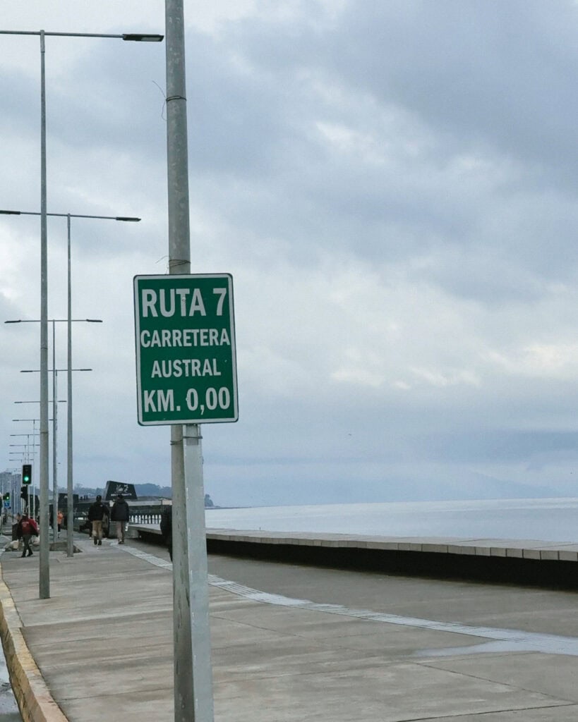
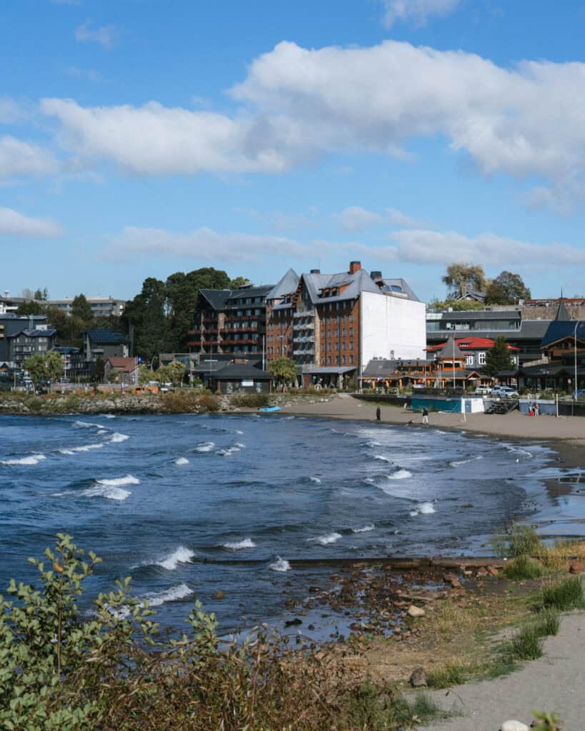
The highway starts in the unattractive city of Puerto Montt. I personally wouldn’t bother spending too much time here, and plenty of people were quick to tell us that before we visited. It’s drab, busy and unappealing, especially when there is such wild and pristine nature within such close reach of the city.
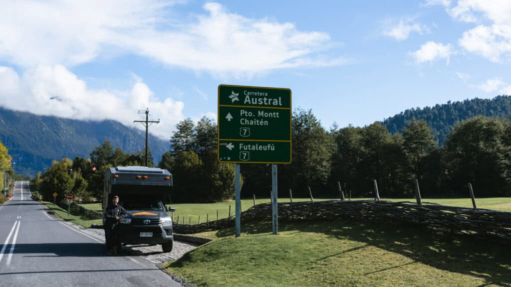
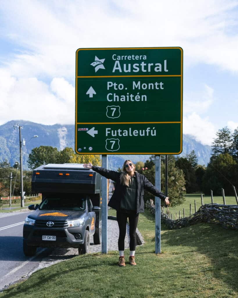
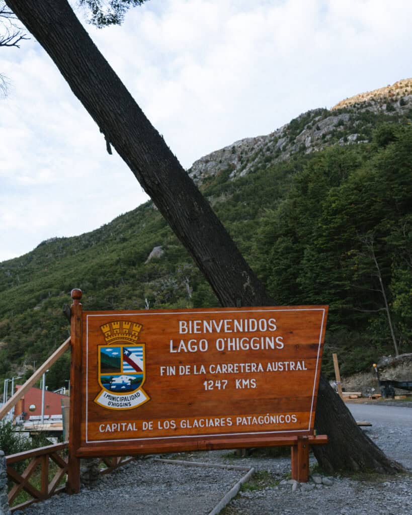
Having travelled the highway from south to north, Puerto Montt was our final stop, and we were so excited to reach the official sign marking the start (end for us) of the highway.
Spoiler: it was the biggest let down and wasn’t even worth getting out of the car for!
Puerto Montt is well-connected to the rest of Chile with road and air connections to other major destinations around the country. There are daily flights from Santiago and seasonal flights from Punta Arenas in the deep south, too. There is a variety of car, camper and RV rental companies in the city.
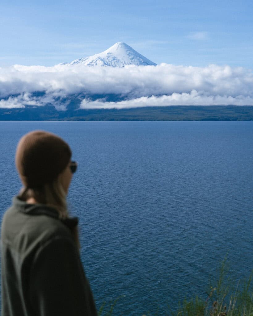
If you want to spend some time in a slightly more developed part of the Los Lagos Region before or after hitting the highway, make a beeline for Puerto Varas instead. Just half an hour north of Puerto Montt, this charming German village sits on the shores of Lago Llanquihue with the conical peak of Volcan Osorno looming over the town.
Hornopiren
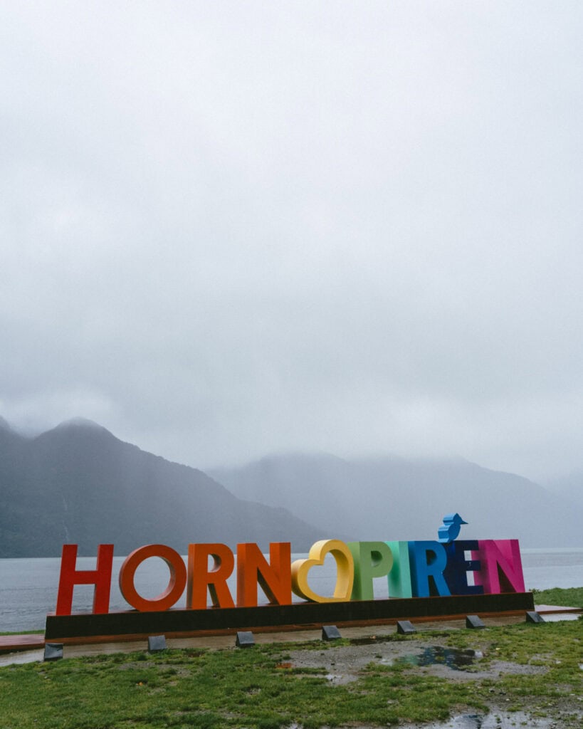
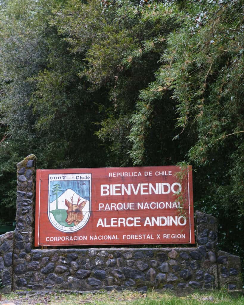
It doesn’t take long after departing Puerto Montt to leave the big city behind and dive headfirst into the pristine nature of Northern Patagonia. Parque Nacional Alerce Andino is an excellent stop en route, protecting millennia-old giant alerce trees and the moist, fairytale Valdivian forest.
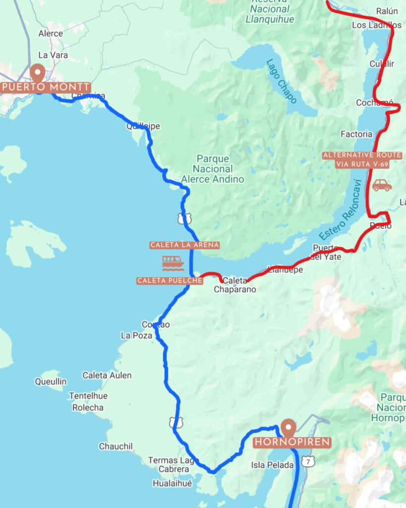
Hornopiren is the first official town along the Carretera Austral, and reaching it requires the first of three ferry rides, a quick hop over the Estero Reloncavi from Caleta La Arena to Caleta Puelche.
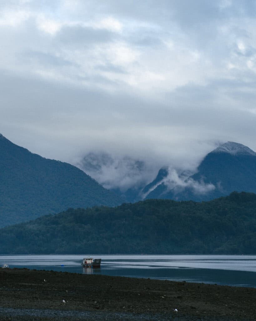
It’s a moist and moody town, often shrouded in mist, sitting on the shores of the Comau Fjord, with two volcanoes looming overhead and the eponymous Parque Nacional Hornopiren surrounding the town with green.
The geothermal activities from the volcanoes have created a series of steamy hot springs, perfect for soaking on a rainy day, which is very typical in one of the wettest towns in Chile.
🌿 Read our complete guide to Hornopiren
Chaiten and Parque Nacional Pumalin
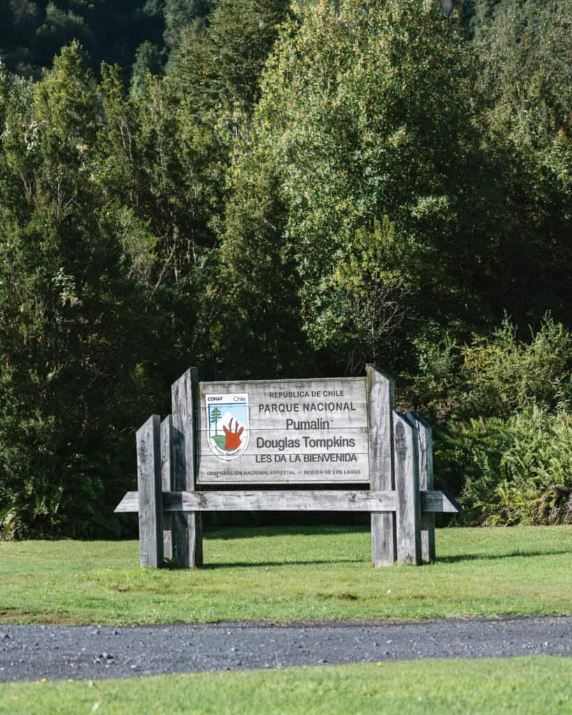
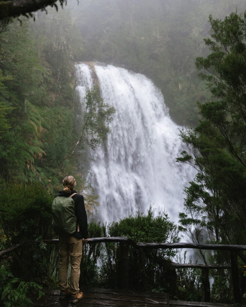
Another long ferry ride is required to continue the Carretera Austral from Hornopiren to the port of Caleta Gonzalo. Immediately landing in the heart of Parque Nacional Pumalin, one of the most beautiful and well-kept parks along the carretera.
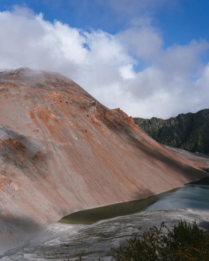
The town of Chaiten almost ceased to exist after the unexpected eruption of Volcan Chaiten in 2008. Covering the town in a sea of ash and debris, bursting the river banks and splitting it in two. The government wanted the ~5,000 residents to relocate, but they fought to return and rebuild their home, and this buzzing little town lives on today as the primary jump-off point to the famous national park.
It’s possible to hike to the crater of the still-active volcano, along with various trails to hidden waterfalls, ancient alerce trees, vast glaciers and green Valdivian forest. This is one of the most beautiful parts of the highway.
🌋 Read our complete guide to Chaiten
Futaleufú (SIDE QUEST)
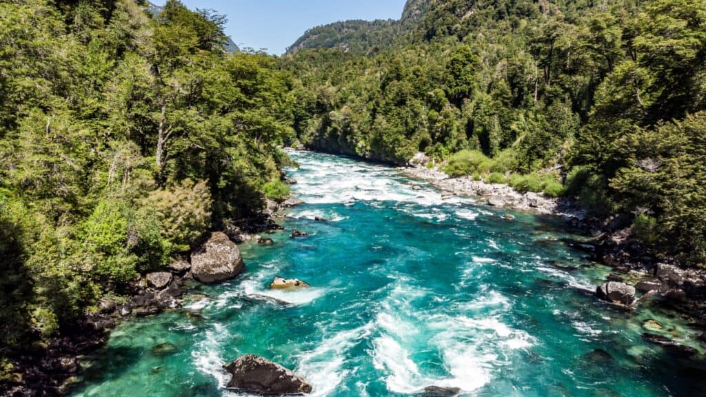
A short detour to the east leads you to the small town of Futaleufú, famous for white water rafting. The turquoise waters of the Rio Futaleufú rushing through narrow canyons have long called adrenaline junkies to the region.
Even if you’re not up for the thrills of careening down a river, the scenery alone is worth the trip. There are dozens of emerald lagoons, hiking trails and postcard-perfect views to keep even tame explorers happy.
Futaleufú is just a few minutes from the Argentine border, and is a common entry/exit point to the Carretera Austral, connecting with the towns of Trevelin and Esquel in Argentina.
Puerto Raul Marin Balmaceda and Parque Nacional Corcovado (SIDE QUEST)
Another side quest, off to the west this time, is the tiny port town of Raul Marin Balmaceda.
This remote little fishing town sits at the mouth of the Rio Palena, on the shores of Golfo Corcovado. It’s actually on an island, and you’ll need to take a short ferry across the Rio Palena to get there!
It takes 2.5 – 3 hours to get there from the Carretera Austral. Stop at Termas El Sauce, a set of very natural and forested hot springs along the way.
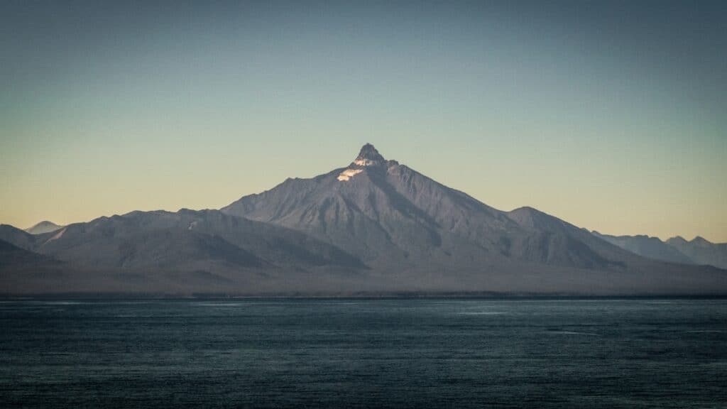
This is one of the best places on the Carretera Austral to see marine life, in the estuaries and islands around town, much of which is protected as part of the marine area of Parque Nacional Corcovado. The pointy peak of the eponymous Volcan Corcovado can be seen from town.
(There is only one land access to the national park, a hiking trail to Ventisquero Yelcho, between Chaiten and Puyuhuapi.)
Every year during the summer, humpback whales migrate through the area, and the Gulf of Corcovado is one of the best places to see blue whales, the largest animal in the world. February and March are the best months for whale watching.
In addition to whales, dolphins, penguins, sea lions, and all kinds of seabirds are spotted in the area year-round. Jump on a boat tour with a local captain to explore the waterways. On land, there are gorgeous forested trails and miles of empty beach.
Puyuhuapi and Parque Nacional Queulat
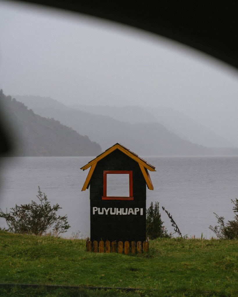
The postage stamp-sized town of Puyuhuapi sits on the shores of the Puyuhuapi Fjord, again surrounded by Valdivian forest with a similarly moist climate to its northern neighbours.
Like many small towns in Chilean Patagonia, it has German history, which is evident in the wooden shingled buildings, kuchen (German cakes), and hopperdietzel (beer) found on all the menus.
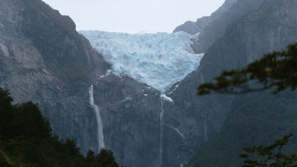
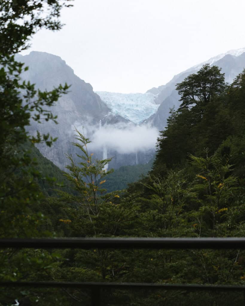
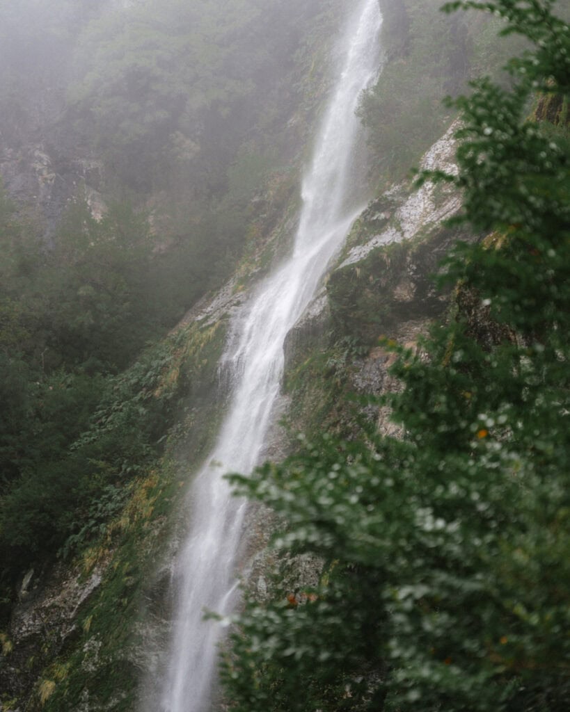
The real drawcard of the area is the Parque Nacional Queulat and its iconic Ventisquero Colgante (Hanging Glacier). The blue glacier is suspended inside a rocky cliff face, with a thundering waterfall of glacier melt tumbling into the lagoon below, often shrouded in an atmospheric mist. It really is a sight to behold and has become synonymous with the highway.
❄️ Read our complete guide to Puyuhuapi
Puerto Cisnes and Parque Nacional Isla Magdalena (SIDE QUEST)
Another offshoot to the west, Puerto Cisnes, is another small seafront village if you’re looking for a marine detour. Situated very close to Parque Nacional Isla Magdalena, which is only accessible by boat, local captains run tours to the marine areas of the park, with possible whale, dolphin and sea lion sightings.
Puerto Aysen and Puerto Chacabuco (SIDE QUEST)
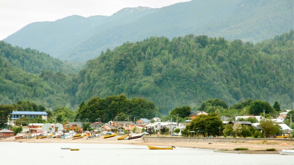
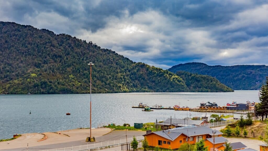
Another detour to the west leads to the large town of Puerto Aysen and its waterfront counterpart, Puerto Chacabuco. A possible entry/exit point to the highway with a once-weekly ferry from Chiloe Island, it’s not really worth the detour for any other reason.
This is the hub for marine activities, with whale watching tours, boat-only hot springs and the long route to the glaciers inside the Parque Nacional Laguna San Rafael.
Coyhaique
The capital of the Aysen Region and the unofficial capital of the Carretera Austral. With a population of more than 50,000, Coyhaique is a ‘city’ and is substantially bigger than the other pueblos pequeños along the highway.
It is also where you’ll find the only airport actually on the Carretera Austral, Balmaceda Airport, an hour outside the city.
Coyhaique is the place to restock and reset. The city houses one of only two Unimarc supermarkets once you start the highway, with ATMs, laundromats, an excellent array of restaurants and cafes and a big city vibe you might unexpectedly long for, just for a brief visit.
By this point of the Carretera Austral, the moist, Valdivian rainforest has given way to drier, deciduous forest with rocky granite peaks and a starker, more agricultural landscape.
There are plenty of natural sights around the city, but most pale in comparison to the other sites you’ll encounter along the highway and primarily appeal to the city dwellers looking for some fresh air.
🍝 Read our complete guide to Coyhaique


Villa Cerro Castillo & Parque Nacional Cerro Castillo
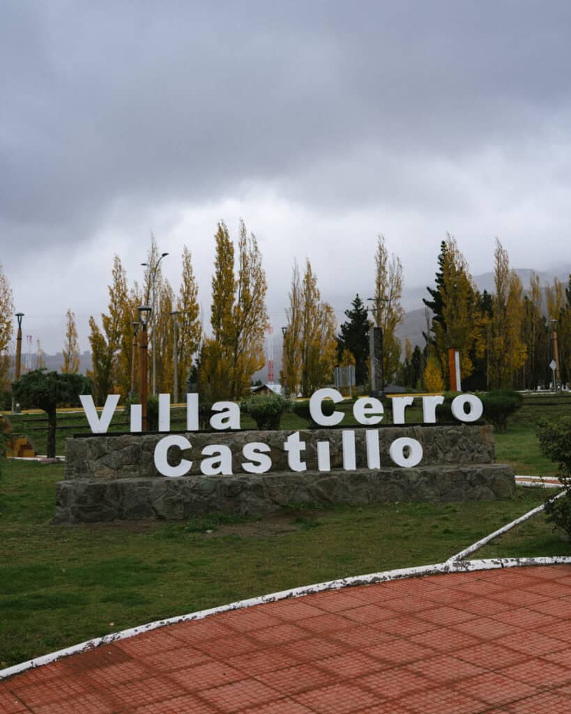
A city of 50,000 quickly gives way to a town of just 500. Villa Cerro Castillo sits at the foothills of the jagged, basalt spires of Cerro Castillo.
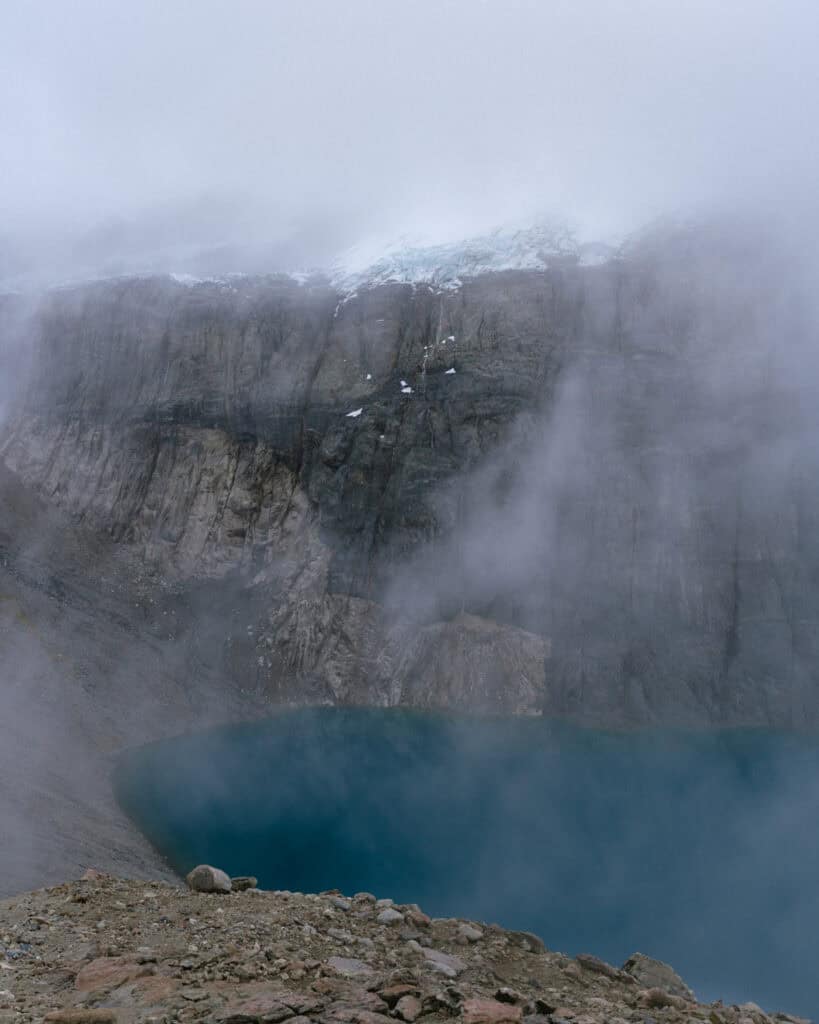
The aptly named Parque Nacional Cerro Castillo has several day hikes, as well as the multi-day Las Horquetas Circuit. The tough trek to Laguna Cerro Castillo is one of the most popular trails along the Carretera Austral, taking in a cobalt blue lagoon against the deep, black peaks, with a small glacier and waterfall as a cherry on top!
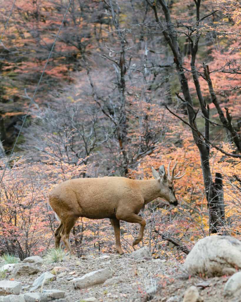
The national park is one of the best places in the region to spot the endangered Huemul or South Andean Deer. They’re often sighted running across the highway, as it intersects with a portion of the park north of town. The huemuls delivered for us, and it was here that we had our one and only (brief) sighting of these shy creatures.
🏔️ Read our complete guide to Villa Cerro Castillo
Puerto Rio Tranquilo, Marble Caves & Parque Nacional Laguna San Rafael
What the scruffy little town of Puerto Rio Tranquilo lacks in charm, it makes up for in activities.
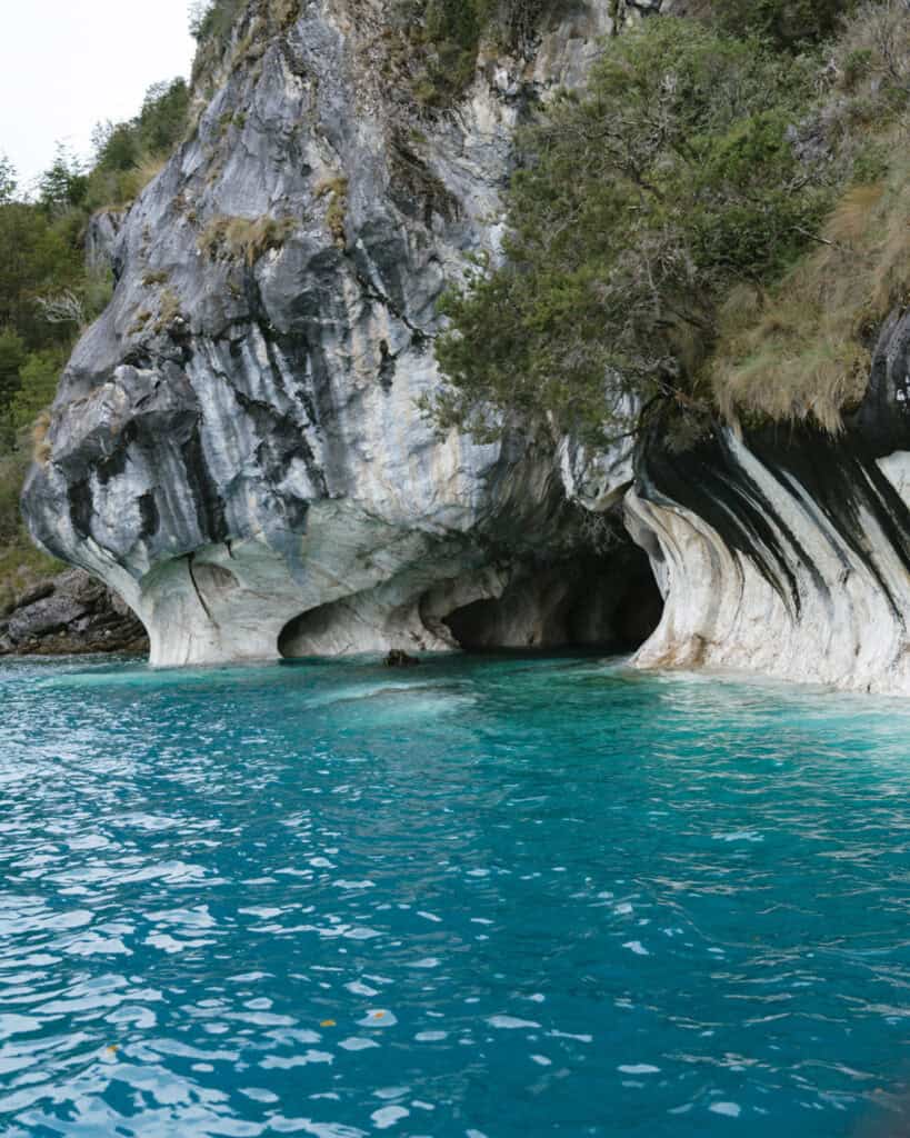
This is about as ‘touristy’ as it gets on the Carretera Austral, with domestic and international tourists flocking here for the iconic Marble Caves. These natural marble formations in Chile’s biggest lake, Lago General Carrera, can be visited on a boat or kayak tour from town.
The town is also the closest access point to the Parque Nacional Laguna San Rafael. Home to a series of icy giants in the Northern Patagonian Icefield, visitors can join a boat tour to the eponymous Glaciar San Rafael, or don crampons and walk onto the ice at Glaciar Exploradores.
🧊 Read our complete guide to Puerto Rio Tranquilo

Chile Chico & Lago Jenemei (SIDE QUEST)
Chile Chico is one of the busiest and most popular border crossings into Argentina and a common place for travellers to enter or exit the Carretera Austral.
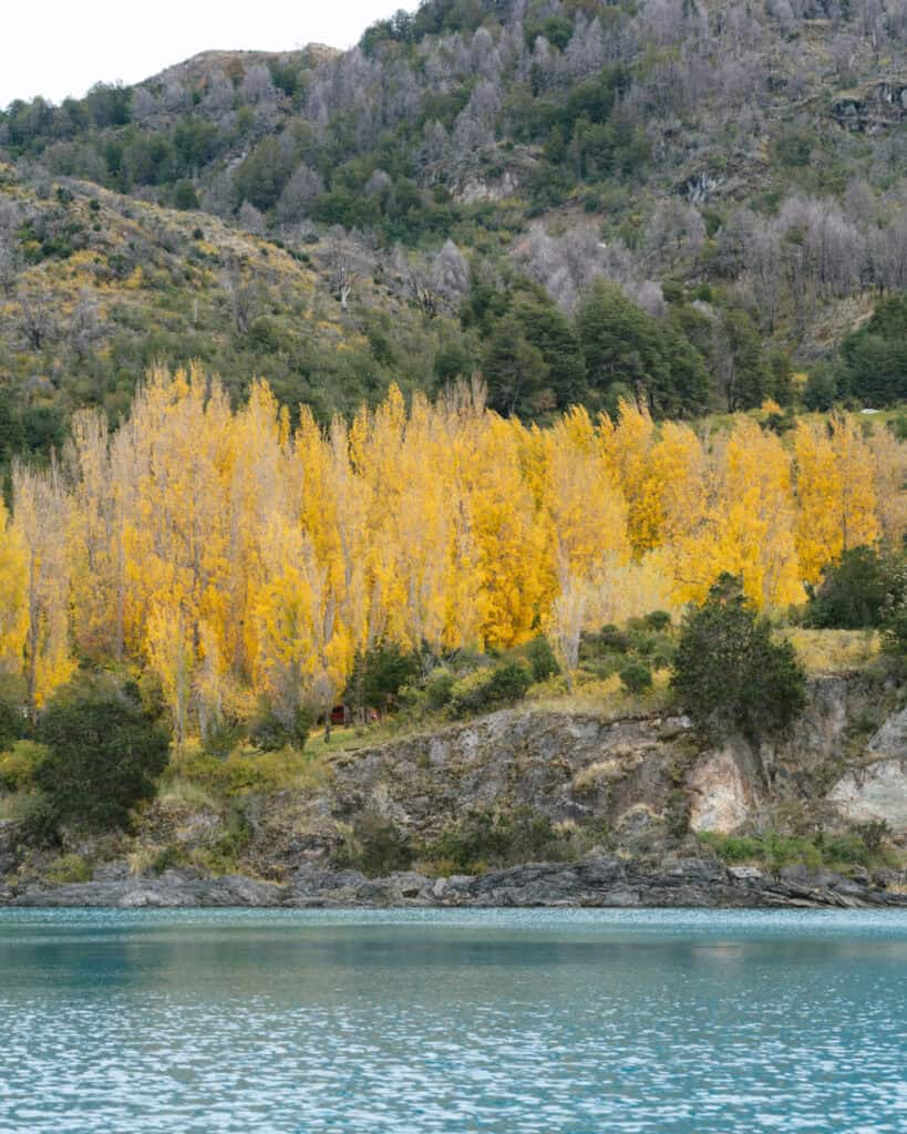
Sitting on the southeastern shores of Lago General Carrera, the town is the easiest access to the Lago Jenemei Sector of Parque Nacional Patagonia.
The first introduction to the dry, Patagonian steppe, there are a variety of single and multi-day hikes in this unique landscape with high alpine lagoons, interesting rock formations and ancient cave paintings.

Cochrane & Parque Nacional Patagonia
For us, Cochrane was the loveliest town on the Carretera Austral. Set on the crystalline waters of the Rio Cochrane and surrounded by scenic snow-capped mountains and lenga forest, it’s the primary jump-off point to the excellent Parque Nacional Patagonia.
The Tamango Sector of the park is just a few minutes from Cochrane town. With trails winding along the riverbed with some of the brightest and clearest waters we saw in all of Patagonia, this is another great place to see huemuls, if you’re lucky.
Under an hour north of Cochrane is the star of Parque Nacional Patagonia – Valle Chacabuco Sector. An area of vast Patagonian steppe, the park is a wildlife lover’s heaven.
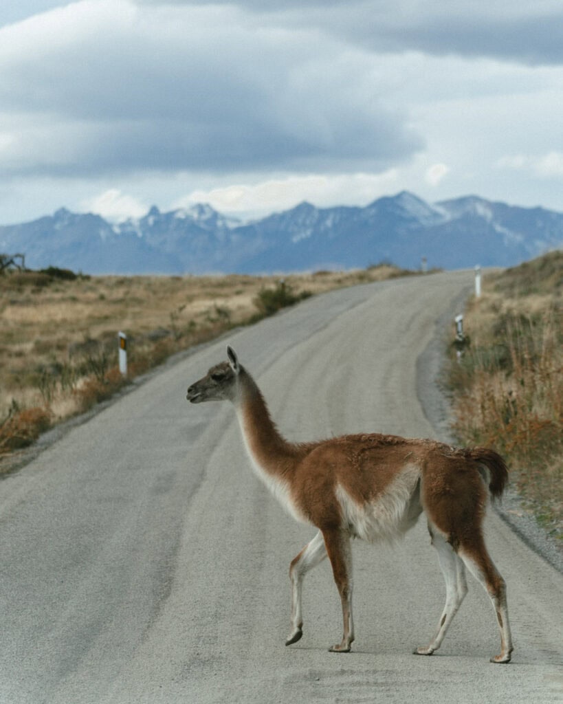
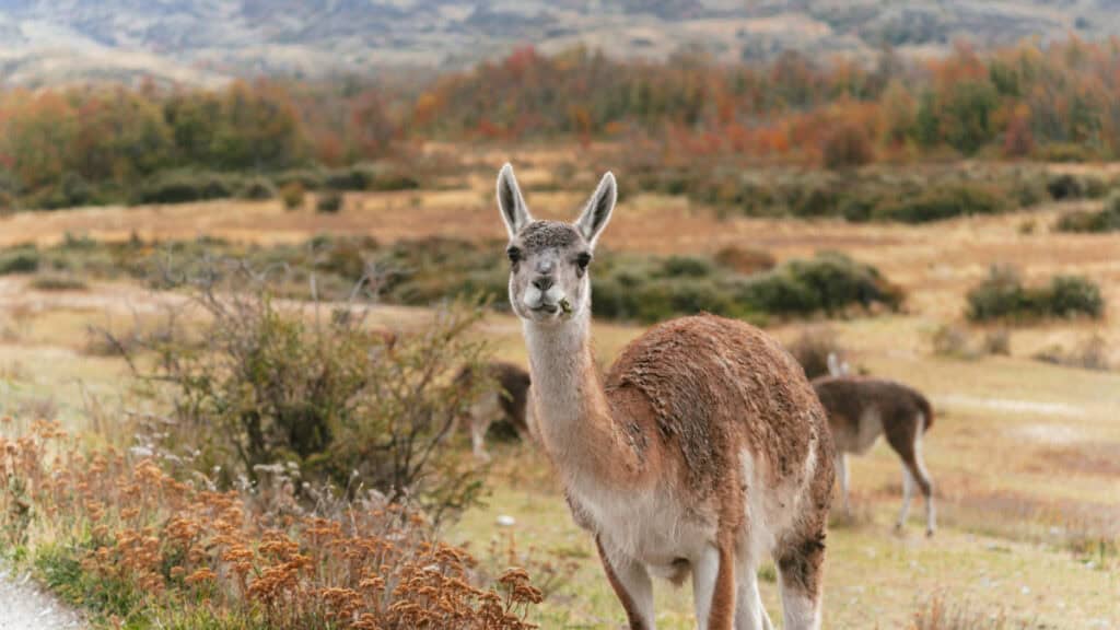
Home to a huge population of guanacos, rheas, condors and some of the largest numbers of pumas in all of Patagonia, if you want to see wildlife on the Carretera Austral, this is the place.
This sector of the park is spread across the 75 km X-83, which runs all the way to the Argentine border. There are three campgrounds and almost a dozen trails spread throughout the area, best approached on a multi-day camping visit.
💎 Read our complete guide to Cochrane

Caleta Tortel
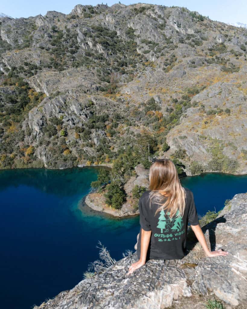
Although technically Caleta Tortel is a ‘side quest’, requiring a short detour off the Carretera Austral, it’s a pretty well-integrated and expected stop on any Carretera Austral road trip.
Easily identified as the boardwalk town, Caleta Tortel is a car-free village set on the shores of the Tortel Fjord. It’s constructed almost entirely of Cypress boardwalks, with houses on stilts and walkways connecting the residents’ houses and town amenities.
It’s a quirky and unique place, unlike anywhere else on the Carretera Austral. It sits in a privileged position between the Northern and Southern Patagonian Ice Fields, with boat tours to glaciers in both directions.
Caleta Tortel is one stop on the Puerto Natales – Puerto Yungay ferry route (for bicycle and foot passengers only), and for some travellers is their point of entry or exit to the highway.
🪵 Read our complete guide to Caleta Tortel


Villa O’Higgins
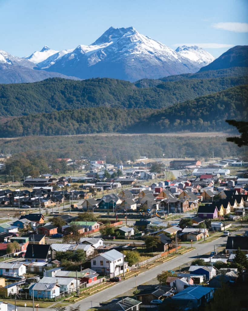
The end of the road. After one final ferry crossing across the Mitchell Fjord, you reach the final stretch of the Carretera Austral. Fittingly bumpy and unpaved, the ~3-hour drive into Villa O’Higgins is some of the most beautiful scenery you’ll encounter along the highway.
Tourism marketers call Ushuaia in Argentina ‘the end of the world’, but they’ve obviously never been to Villa O’Higgins. This surprisingly happening little town is literally plonked in the middle of nowhere, not too far from the Argentine border and the Lago del Desierto area, which was the subject of extensive land disputes between the two countries.
My understanding is that the settlement of Villa O’Higgins was a rushed attempt by the Chilean Government to stamp its foot on the area. ‘See, we have a town here, it’s ours!’ kind of thing.
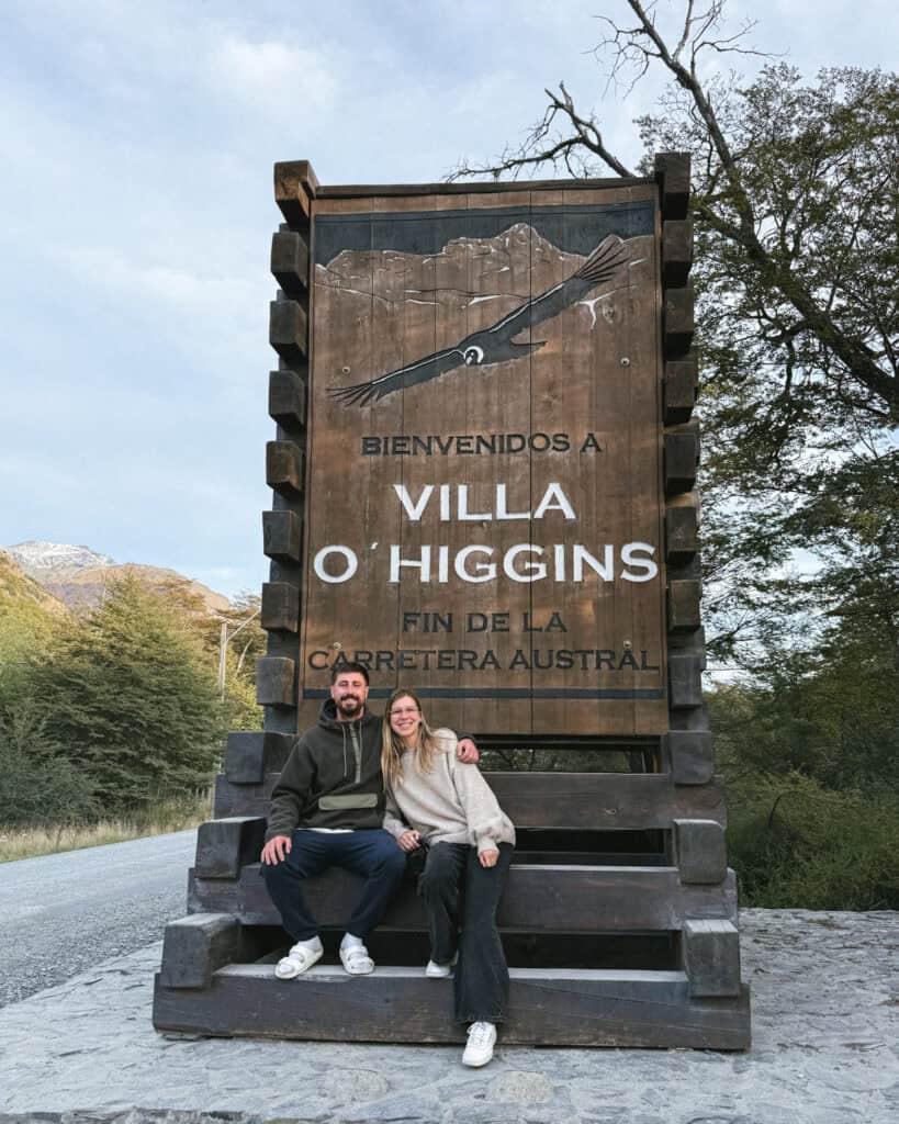
1,247 km later, the Carretera Austral reaches its grand conclusion just south of town. The road literally ends, with nowhere else to go due to the pesky presence of a vast icefield and the Andes mountains.
The signs marking the end of this epic journey are much more fitting than its measly beginnings in Puerto Montt.
If you’re on foot or with a bicycle, it is possible to travel across the border to El Chalten in Argentina on a multi-day crossing involving boats, camping and hiking. If you’re in a vehicle, this is the end of the line, and there is no other alternative but to turn around.
You don’t have to backtrack far if you’re looking for a way off the highway. Puerto Yungay sits on the northern edge of the Mitchell Fjord, and is the departure point for the 41+ hour TABSA ferry to Puerto Natales, the only way to connect from the southern end of the Carretera Austral to the rest of southern Chilean Patagonia.
🌳 Read our complete guide to Villa O’Higgins
How to travel the Carretera Austral
Depending on your travel style and budget, there are several methods of transport you can use for a trip along the Carretera Austral.
Vehicle
In my opinion, there are only two realistic options for travelling the Carretera Austral if you actually want to see and do everything. That is renting a vehicle or riding a bicycle.
This remote region has very limited public transport, with attractions spread far and wide. Renting a car gives you the ultimate freedom and flexibility to see the highway on your own terms, without any transport limitations.
Where to rent a car on the Carretera Austral?
The most common places to rent a vehicle for the Carretera Austral are:
- 🚙 Puerto Montt / Puerto Varas: the northern end of the highway, the large city of Puerto Montt has a big airport with a wide variety of car rental agencies. Some agencies base themselves in nearby Puerto Varas, 30 minutes north, but either way, there are the most options here, making it one of the most affordable places to rent.
- 🚙 Coyhaique / Balmecada Airport: around the middle of the highway, the regional capital of Coyhaique and the only major airport on the Carretera Austral, Balmecada Airport, is another pocket of vehicle rental agencies. Prices are understandably a bit higher here, given the remote location.
- 🚙 Punta Arenas / Puerto Natales: if you’re approaching the region from the south, like we were, you can rent vehicles in the large city of Punta Arenas. There are a lot of agencies here, including camper/van companies. Nearby Puerto Natales also offers rentals, but being a smaller town, prices are inflated.
If you’re just planning to rent a standard vehicle, I recommend using Discover Cars. They pull together the best prices and options from various agencies and allow you to read through the insurance and fine print in English.
Wherever you rent from, just be very clear on the insurance and any restrictions the agency has. Some companies actually won’t allow you to drive certain parts of the highway, which makes no sense to me, but just make sure you read the fine print and ask all the questions before locking into anything!
Most rental agencies will allow you to cross the border into Argentina, but you do need to apply for permits and special insurance in advance, so be sure to confirm this.
🚗 Research prices and availabilities for rental cars on the Carretera Austral with Discover Cars
One-way or round-trip rental?
Many rental agencies will let you organise a one-way rental. This means you collect your vehicle in one location and drop it back at a different location. The drop-off usually does need to be within Chile, most agencies won’t let you leave your car in Argentina.
A one-way rental avoids a long backtrack along the highway or a lengthy return loop via Argentina. There is generally a fee involved for this service; how much depends on the agency.
Some are quite reasonable and will be much more cost-effective than driving double the distance. However, some agencies charge outrageous fees (thousands!), which makes this idea a no-go for most people’s budgets.
In a perfect world, a one-way rental makes the most sense for this region, given the highway is one long, linear north-south stretch, without many options for creating a tidy loop and avoiding returning the same way. If you don’t care about driving the length of the road twice, you can opt for a one-way rental.
If you do have a long time available (6+ weeks), you can cross into Argentina and create a huge Patagonia loop, seeing both sides of the border to return your car where you started. However, for most people, this is a big undertaking.
I always like to create the most logical route that maximises our time and allows us to see as much as possible, avoiding backtracking. Driving a long, bumpy highway twice wasn’t my ideal plan, so we opted for a one-way rental from Punta Arenas to Puerto Varas.
The way our rental company, Camper Travel Chile, operated meant there was a pick-up/drop-off fee for any location outside of their headquarters in Santiago, so effectively the one-way rental fee didn’t cost us any more than, say, picking up and dropping off in Puerto Varas.
I personally think coordinating a one-way rental from Puerto Montt – Punta Arenas or vice versa is the best way to see the Carretera Austral, if you’ve got the time to drive it in its entirety (min. 3 weeks). Just shop around different rental companies and compare the one-way fees.
Do you need a 4×4?
No, you don’t need a 4×4 vehicle to drive the Carretera Austral.
Does it help? Yes. Does it make the corrugated bumps more comfortable? Yes. Does it allow you to drive down any side road, onto any riverside camp spot or sandy foreshore without worry? Yes.
But is it absolutely necessary? No. Not unless you are visiting in the winter when you’ve got ice and snow to contend with.
If you’re only planning to see the northern area of the highway (Puerto Montt – around Coyhaique), most roads are paved, and you can definitely get by with a standard vehicle.
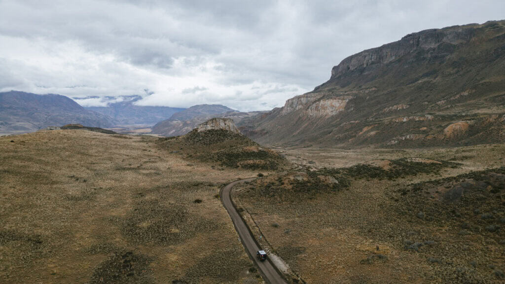
If you want to venture all the way to the end of the road in Villa O’Higgins, the road conditions get substantially worse, and a 4×4 becomes a lot more useful.
Renting a 4×4 is undoubtedly more expensive than a standard sedan, so you need to think carefully about your plans and how anxious and on edge you will be with a smaller car.
I knew I would worry about damaging a smaller car, and as it turned out, we actually smashed a window on our 4×4 camper and cracked the windshield, so I can’t imagine what type of damage we could have done to a small sedan!
Renting a camper/van/RV
Instead of just renting a normal vehicle or 4×4, there are a lot of companies that rent equipped campers, vans or RVs.
The benefit of this is that you not only have a method of transport, but you also have somewhere to sleep, and usually a method of cooking your own meals.
There are slight variances between these types of vehicles, and every company usually has slightly different inclusions between each. As a summary:
- 🛻 Rooftop tent: a lot of companies rent 4×4 vehicles with rooftop tents. The vehicle will be fitted out with camping gear, usually some kind of kitchen, most likely in an external area of the car. It’s not as comfortable or convenient, it requires set-up/pack-up and is more exposed to the weather, but you’ll have what you need to camp.
- 🛻 Camper: a lot of people have different names for this – camper, truck camper, slide-on camper, pod, etc. Basically, a ‘camper’ in my mind is a 4×4 vehicle with some kind of permanent structure on the back that requires minimal set-up. Depending on the company, it should have a kitchen, a bed, possibly a toilet and shower and maybe a lounge area. This is my recommendation for the Carretera Austral, as you get protection from the weather, no set-up or pack-up and a tough 4×4 vehicle that can go anywhere and do anything.
- 🛻 Van: a van is almost always a permanent bed/inside area that doesn’t need any set-up or pack-up. Compared to a camper, they are usually a lot smaller with less internal room. They won’t have a bathroom, and the kitchen is more likely to slide out the back, rather than be protected inside. The majority of vans are not 4×4 vehicles.
- 🛻 RVs: the mack-daddy of camping set-ups, RVs or motorhomes are huge, fully-equipped homes on wheels. They will have multiple sleeping options (great for families), lounge areas, internal kitchens, a bathroom with a toilet and a shower. It’s important to remember these vehicles are generally not 4×4 and may not be able to go ‘off-road’ due to their weight and size.
There are several companies renting camping vehicles like this around the region. Some of the most reputable are:
- Camper Travel Chile: where we rented from (read about our experience here), rooftop tents, campers and vans available in Puerto Varas, Coyhaique and Punta Arenas
- 180 Sur Campers: primarily campers, headquarters in Puerto Varas, one-way drop off available for a fee
- Rolling Patagonia: primarily RVs and motorhomes, headquarters in Coyhaique, with pick-up and drop-off also available in Puerto Montt and Punta Arenas
- Yeti Campers: 4×4 campers, headquarters in Puerto Varas, pick-up and drop-off available in other locations for a fee
- Wicked South America: vans with some campers too, they have depots in Puerto Varas and Punta Arenas
I am a big advocate of camping on the Carretera Austral, and I think renting an equipped vehicle like this is 100% the best way to explore the raw and rugged nature of the highway. In a region as remote as this, there aren’t too many fancy hotels or amazing restaurants, so having everything you need at your fingertips is a convenient and efficient way to travel the highway.
It’s not cheap. You should expect to pay $100 – $200 USD per day, depending on the vehicle, time of year, company and pick-up/drop-off, but if you factor in the cost of a standard car rental, tours, accommodations, and eating out, it often comes out quite similar.

What it’s like driving on the Carretera Austral
Bumpy! I kid, not the whole highway, but big sections of it, even in the areas that are supposed to be paved.
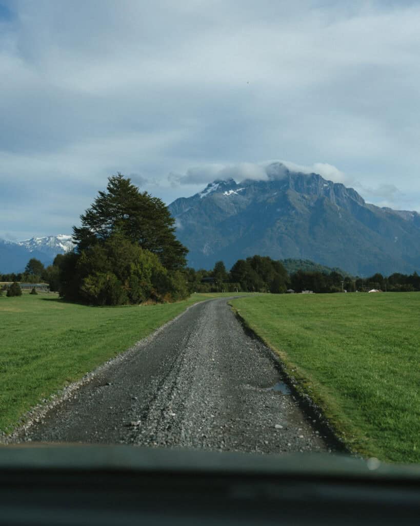
The highway is single-lane in either direction, basically the entire way, with tight corners, rattling corrugations and steep climbs. Loose gravel can crack windscreens, and deep ruts can puncture tyres.
The road is progressively getting better and better as work is ongoing, so it’s certainly not an impossible feat, but you should be prepared for a challenging drive.
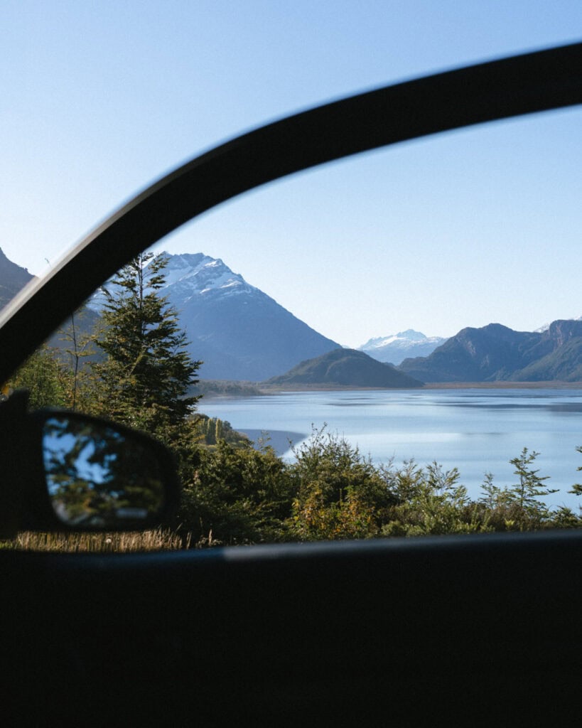
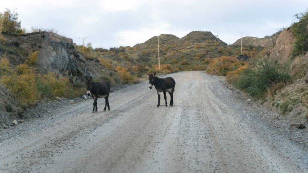
Traffic often comes in the form of donkeys, sheep, horses, cows and the odd cyclist, and the scenery can be a big distraction! It is so painfully beautiful, you’ll constantly want to stop at miradors, pull out on the side of the road or take a picnic break next to a beautiful river.
Due to the aforementioned hazards, it’s not really possible or safe to drive faster than ~60 km/h, and a lot slower in some sections. Just be prepared for every trip to take A LOT longer than Google Maps suggests.
I’ve got some more tips and tricks for driving on the Carretera Austral in my Carretera Austral road trip itinerary post.
Bicycle
The next best option for exploring the Carretera Austral is by bike. Now I wouldn’t recommend doing this as your first big bike adventure, but if you’re an avid cyclist, the Carretera Austral is heaven!
It’s a very popular long-distance cycling route, and every summer the region is full of cyclists tackling Ruta 7.
There are a lot of cycling-specific resources online about the highway, which I would highly recommend researching. Unfortunately, I do not have the knowledge or experience to give bike-related tips, sorry!
Bus
A lot of people mistakenly think you can see the Carretera Austral by bus. This is a pretty common method of travel around South America, and even in other parts of Patagonia.
Spoiler: it’s not the same here.
Yes, there are buses, and it is possible to travel the entire length of the highway by bus, but it’s not as consistent and reliable as you’d expect.
Most routes only run a few times per week, and in the peak summer season, seats book out well in advance. It’s also quite expensive (upwards of $20 – $30 USD per trip).
The second problem is that once you arrive in a town, there is no local transport to get around to the attractions. It’s not a huge issue in some areas where tours are required anyway (e.g. to visit the Marble Caves or walk on a glacier), or if there are attractions within walking distance.
However, in most cases, the national parks, the most beautiful nature and other sites are well outside of the towns. By travelling without a vehicle or bike, you’re locked into coordinating transport with someone else, which is sometimes easier said than done. Taxis aren’t really a thing in most places, so you’re left with costly tours or private drivers.
If you do want to attempt to see the highway by bus, this website is the best I’ve found and looks like an invaluable resource.
Regardless, don’t expect to be able to book tickets online in advance, for these timetables to be accurate or to be able to effectively communicate with the companies! It’s often a case of turn up and see, which can result in days-long delays.
Hitchhiking
If you’re travelling the Carretera Austral without a vehicle, then you will most likely use a combination of buses and hitchhiking.
Hitchhiking is very common in Patagonia and is generally very safe (with the usual precautions). Locals and travellers alike will stop to pick up hitchhikers if they have the room, so it’s not an impossible method of travel.
However, as with the buses, you lose all autonomy and flexibility to arrange your own transport. It’s mind-boggling to me that people can say they’ve seen the Carretera Austral when all they did was stand on the side of the road for hours at a time, waiting for a lift. You didn’t see or do anything!
In the peak summer months, competition is fierce, and it’s not unusual to spend hours on the side of the road waiting to be picked up. In many cases, you may not get picked up at all, or you won’t get a ride to your final destination, throwing out your plans.
It’s important to remember that the weather in this part of the world is often not favourable, and we saw plenty of soggy, cold and sad-looking backpackers on the side of the road in torrential rain and wind.
As with the buses, it’s possible to get a lift up and down the highway, but if you want to get out of town, onto the side roads or to more remote attractions, it can be very difficult.
Unless you are looking for the experience of hitchhiking, not the experience of actually seeing the Carretera Austral and its many beautiful natural attractions, I personally wouldn’t recommend this option.
Ferries on the Carretera Austral
There are three ferries that you MUST take if you plan to drive the entire length of the Carretera Austral.
The military did a pretty good job building a road in extremely harsh conditions, but even they couldn’t navigate fjords and waterways.
There are three places on the highway where ferries provide the only continuation of the road. Look up the highway from point to point on Google Maps, and you’ll see it run into the water three times!
My Carretera Austral ferries post has more extensive details, but here are the three ferries you need to be aware of, from north to south.
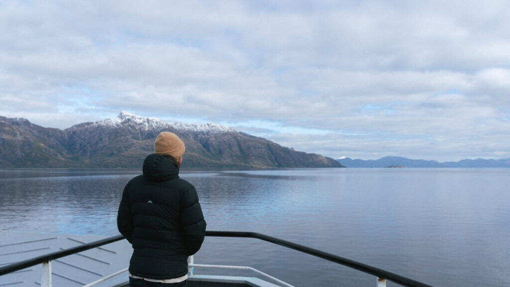
Caleta La Arena – Caleta Puelche (Estero Reloncavi)
- 📍 Ferry route: Caleta La Arena – Caleta Puelche
- 🔃 Connecting destinations: Puerto Montt – Hornopiren
- ⛴️ Company: Transportes del Estuario
- ⏰ Duration: ~30 minutes
- 🗓️ Schedule: every 30 – 60 minutes, 24/7
- 💰 Cost: 11,130 CLP for cars, passengers free
- 🎟️ Pre-booking required: no, first-in-best-dressed, pay in the line
- ℹ️ More information: Transportes del Estuario website
Hornopiren – Caleta Gonzalo (bi-modal route)
- 📍 Ferry route: Hornopiren – Caleta Gonzalo
- 🔃 Connecting destinations: Hornopiren – Chaiten
- ⛴️ Company: SOMARCO
- ⏰ Duration: ~4.5 – 5 hours
- 🗓️ Schedule: twice daily year-round, additional non-subsidised routes in summer
- 💰 Cost: 69,500 CLP for cars with one driver, additional passengers 11,600 CLP
- 🎟️ Pre-booking required: yes, book in advance, especially in summer
- ℹ️ More information: SOMARCO website

Puerto Yungay – Rio Bravo
- 📍 Ferry route: Puerto Yungay – Rio Bravo
- 🔃 Connecting destinations: Cochrane/Caleta Tortel – Villa O’Higgins
- ⛴️ Company: Padre Antonio Ronchi and Pitipulla
- ⏰ Duration: ~1 hour
- 🗓️ Schedule: 4 – 10 times per day in either direction, dependent on the season
- 💰 Cost: free (government subsidised)
- 🎟️ Pre-booking required: no, first-in, first-served – line up early in summer!
- ℹ️ More information: provincial government Facebook page

Accommodation on the Carretera Austral
In addition to choosing your desired method of transport for travelling the Carretera Austral, you also need to choose the type of accommodation you’d like to use. Often, these decisions go hand-in-hand.
The way I see it, there are three types of accommodation you can consider, or a combination:
- 🛻 Camping (vehicular)
- ⛺️ Camping (tent)
- 🏩 Regular accommodation
In each of my destination guides, I’ve got recommendations for wild camping, paid campsites and regular accommodations at the budget, mid-range and boutique level. These recommendations are also pinned on my Carretera Austral map.
Unless you’re travelling during the peak summer months (mid-December – mid-February), OR you have very particular requirements for accommodation (e.g. very cheap or very luxurious), you don’t really need to book in advance.
In these peak periods, it’s not a bad idea to pre-book; however, I would urge you to try and find refundable/cancellable rates. Things change quickly in a region as remote as this. It only takes one cancelled ferry, a lengthy road work or wild weather to throw out the best laid plans.
You want to find a balance of being prepared and not missing out, but also remaining flexible for unexpected changes.
Camping (vehicular)
If you’ve rented a camper, van or RV, you will camp inside your vehicle.
You might like to sprinkle a few nights of regular accommodation here and there, but primarily, your accommodation will also be your vehicle.
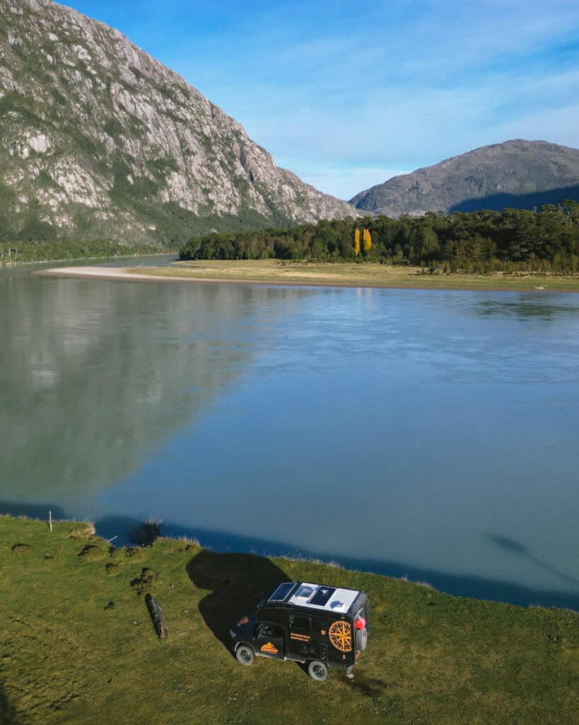
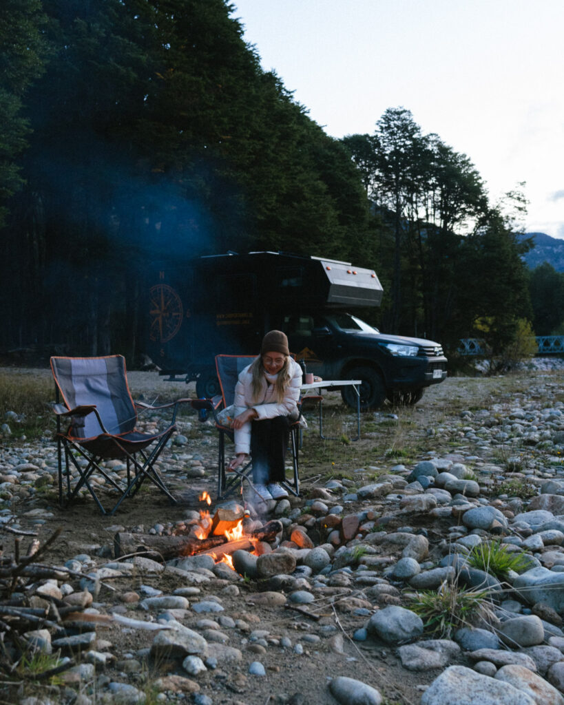
The benefit of vehicle camping vs tent camping without a car is that you have the full choice of camping locations. Wild camping is legal in Chile, and unless it specifically says no camping or it’s private property, you can pretty much park anywhere!
You’re not restricted to staying in the towns, and we found so many beautiful campsites on rivers, in forests and on lakeshores.
There are also many paid campgrounds that have amenities like bathrooms, electricity, wifi (sometimes), if your vehicle doesn’t have all these things.
iOverlander is your best friend for finding campsites.
Camping (tent)
It’s also very common for people to tent camp along the Carretera Austral.
Usually, cyclists will have tents and other camping gear, so they can set up wherever they get tired. If you’re on a budget, you might choose to rent a regular car, but travel with a tent so you can camp.
Even without a vehicle, tent camping is popular with bus travellers/hitchhikers, and especially comes in handy for multi-day hikes.
However, without a vehicle, you will most likely need to camp in towns, within walking distance of amenities and transport. The campsites here are primarily paid sites, and not as scenic or natural, but if you’re in a tent, you’ll probably need the additional amenities that a paid site offers anyway.
Regular accommodation
And of course, no matter what method of transport you’ve chosen, there is regular accommodation all along the highway.
Accommodation is generally concentrated in the towns, but you will occasionally find a more remote property that might offer camping and cabañas.
There are a handful of luxury, boutique hotels (not many!), and some hostels, but mostly it’s just small, locally owned B&B or cabaña rentals.
Booking.com is a good resource for most towns, but if you’re not seeing anything, try Airbnb and do a scan of Google Maps too. There are lots of small options that are not listed online, which is not unusual in this part of the world.

Where to enter/exit the Carretera Austral
The Carretera Austral isn’t just a highway; it’s a region of Patagonia, and a remote one at that. It’s not as simple as just driving on and at one end and driving off at the other.
You’re contending with roads leading to nowhere, fjords, icefields, the Andes and a border with Argentina. This one road is virtually the only access to this part of Chile, so you do have to be more organised when it comes to planning your route.
Unless you’re planning to start and end in Puerto Montt, driving the highway out-and-back both ways, you’ll need some help from a plane, ferry or border crossing!
Entering or exiting the highway at its northern point in Puerto Montt is simple. This large city is well-connected to the rest of the country and Argentina by road (bus or car) and air.
Entering or exiting the highway at its southern point in Villa O’Higgins is where things get complex. The road comes to an abrupt end, and there is no way to continue with a vehicle. If you’re travelling on foot or by bike, you can do a multi-day boat/hike/camp transfer to El Chalten in Argentina. If you have a car, you have to turn around and use a ferry to connect with southern Patagonia.
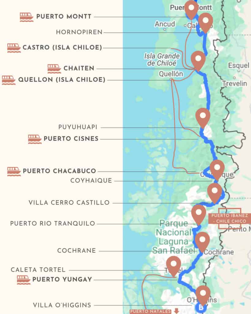
It is possible to enter or exit the Carretera Austral at various other points along the highway, via ferry or border crossing from Argentina.
Airports
There are only two major airports on the Carretera Austral itself:
- ✈️ PMC Aeropuerto El Tepual (Puerto Montt)
- ✈️ BBA Aeropuerto Balmaceda (Coyhaique)
There are several other regional airports and small airstrips along the highway, but for regular, commercial flights, these are basically the only two. They both receive daily flights from Santiago, between each other, and seasonal flights from Punta Arenas.
In addition, in the deep south of Chilean Patagonia, there are a few more airports that may come in handy for entering/exiting the highway, but only in combination with a ferry:
- ✈️ PUQ Aeropuerto Presidente Carlos Ibañez del Campo (Punta Arenas)
- ✈️ PNT Aeropuerto Teniente Julio Gallard (Puerto Natales)
Ferries
Ignoring the three mandatory ferry routes you must take to drive the Carretera Austral in its entirety, what I’m referring to here are the several ferry routes that provide access to various sections of the highway and can be a great way to enter or exit the region.
There are multiple routes departing from Chiloe Island to different destinations along the northern section of the highway, which help to create a circular route from Puerto Montt.
Alternatively, the TABSA Ferry from Puerto Yungay at the southern end of the highway to Puerto Natales in the deep south allows you to complete a linear route from Puerto Montt to the very bottom of Chilean Patagonia in Punta Arenas and is perfect for those wanting to see the highway from end to end without backtracking.
I’ve got a more detailed post about the Carretera Austral ferries, with the different marine routes.
Argentine borders
The other way to enter or exit the highway is via Argentina. The countries are divided by the Andes mountain range, but there are several land crossings along the length of the highway that you can use before reaching the end of the line in Villa O’Higgins, with nowhere else to go!
There are many, many crossings, but a few of the most commonly used routes that connect tourist destinations on either side of the border, from north to south, are:
- 🛂 Paso Futaleufú: connecting the Chilean town of Futaleufú with Trevelin and Esquel in Argentina.
- 🛂 Paso Río Jeinemeni: this busy crossing connects the Chilean town of Chile Chico with its sister city Los Antiguos in Argentina, on Lago General Carrera (Chile name) / Lago Buenos Aires (Argentina name). I’m not sure why it’s so popular, as it’s not really near anything on the Argentina side, but it’s a reliable and busy crossing.
- 🛂 Paso Rodolfo Roballos: this crossing is inside the Valle Chacabuco Sector of Parque Nacional Patagonia. It’s a less popular, smaller crossing, but it pieces together two very popular national parks, exiting to Argentina’s very own Parque Patagonia on their side of the border.
- 🛂 Candelario Mancilla / Hito 62: this crossing connects Villa O’Higgins and the end of the Carretera Austral with El Chalten in Argentina. It requires a multi-day journey with a boat trip, hiking and camping. It can’t be done with a vehicle, and it’s quite an adventure that you need the right equipment for.
Crossing into Argentina allows you to create a circular route of this part of Patagonia. Where the Carretera Austral is just a north-south linear route, with only fjords and the Pacific Ocean to the west, Argentina is to the east across the Andes with a bigger network of highways, roads and small towns.
Argentine Patagonia is a lot drier and more arid than Chile’s. Where the Carretera Austral is lush and green and moist, Argentina is vast plains and steppe.
There are plenty of hidden gems in Argentine Patagonia outside of the highlights, but you have to drive through a lot of nothing to reach them. Travelling along the Carretera Austral is a much better alternative to transit from north (Bariloche and the Lake District) to south (El Chalten, El Calafate) Argentine Patagonia, as the scenery is more varied and beautiful, and there is a lot more to see and do.
Planning a Carretera Austral route
How long do you need to see the Carretera Austral?
How long is a piece of string?
I think at a minimum, if you are travelling the highway one-way and have made plans to continue from wherever you end, NOT backtrack and drive all the way back to the start, you need three weeks to see it all.
I’ve got a three-week one-way Carretera Austral road trip itinerary, which is how we did it.
Having four weeks available end-to-end is a safer bet, to factor in any bad weather days, and the long ferry journey, you’ll need to finish the route in Puerto Natales if you have a vehicle.
If you want to drive the highway there and back, starting and finishing in Puerto Montt, I think four weeks would be the minimum amount of time. You can alternate stops, stopping in every second town on your way south and then hitting the spots you missed on the way north, so you’re not leaving a huge one-way drive on the way back. This route doesn’t technically add any stops; however, it does double your driving.
Any less than that and you’ll want to create a shorter loop, most likely of the northern half of the highway, which is better connected, or a one-way route from the two major airports, Puerto Montt and Coyhaique (Balmaceda Airport).
South to north or north to south?
It doesn’t really matter which direction you travel the Carretera Austral. The more important thing is working out how you arrive/depart at the southern end in Villa O’Higgins, whether it’s the start or the end of your journey.
It suited our other arrangements in Patagonia to travel south – north. We visited the region a bit later in the season (March – May), so it made sense to start in the coldest region and work our way north.
You might reverse it and travel north – south if you’re starting your trip at the beginning of the season, when the temperatures are increasing, not decreasing.
Round-trip or one-way?
I’ve already touched on this briefly in relation to car rental. The main reason you wouldn’t plan a one-way route is if you need to return a vehicle to where you first rented it.
If you’re on a bike or travelling by bus/hitchhiking, there is no need to plan a round-trip as there is no vehicle involved. It is possible to travel onwards from Villa O’Higgins at the end of the highway to El Chalten in Argentina, so you’re not faced with a dead end.
If you have a vehicle, I personally think a one-way route, copping whatever one-way rental fees, is the best way to plan your time on the highway. IF, if, you want to see it all.
If it’s your dream to see the sign in Puerto Montt and drive the entire length to Villa O’Higgins, planning a one-way route from Puerto Montt – Punta Arenas/Puerto Natales with the use of the TABSA Ferry is going to save you a lot of time and money versus driving the highway twice. I know 1,247 km doesn’t seem like much, but this isn’t a paved, multi-lane motorway.
If you don’t have the time or inclination to see it all, you can easily plan a round-trip of the northern half of the highway, using the ferries to/from Chiloe Island to create a nice, circular route from Puerto Montt or Coyhaique (Balmaceda Airport).
It’s harder to create a round-trip route of the southern half of the highway that doesn’t require backtracking. Which isn’t the end of the world if you have to drive part of the highway twice, but I personally don’t think it’s the best use of your time.
There is a ferry across Lago General Carrera from Chile Chico to Puerto Ibañez, which cuts off a lot of driving time around Puerto Rio Tranquilo if you want to create a somewhat looping route from Coyhaique (Balmaceda Airport) down to Cochrane and back.
You could also do a one-way trip from Puerto Montt – Coyhaique (Balmaceda Airport) if you’re short on time and can only see a portion of the highway.
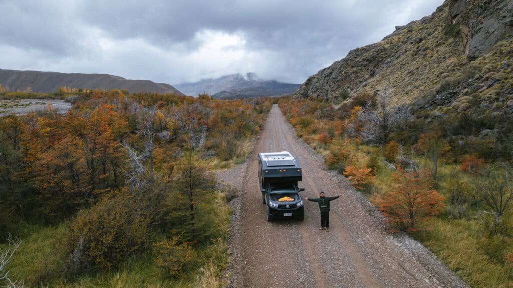
Which part of the highway is the best?
If you’re short on time and can’t see it all, you’re probably wondering which part of the highway is the most scenic.
This is such a difficult question, and it’s really a personal choice. I’ve read people say places were their favourite that we probably liked the least.
In my mind, the highway and its towns and landscapes are kind of in two parts. The northern part, which to me is Puerto Montt – Puyuhuapi/Coyhaique, and the southern part from Coyhaique – Villa O’Higgins.
- 🌿 Northern half: the northern part of the highway is a totally different environment. It is a very moist, wet climate with lush green Valdivian forest that looks like a fairytale, with waterfalls and more fjords/coastline than the southern half. There are still snowcapped mountains, glaciers and lakes, but to me, this part felt more about forest than mountainous scenery.
We’re from Australia, where we have a lot of temperate rainforest, so this region didn’t feel quite as different for us. It was very impressive, and Chaiten and Pumalin National Park were definitely big highlights, but I don’t think it was my favourite.
- 🏔️ Southern half: it was the southern part of the highway that I think took the cake for me. The mountains felt bigger, with jagged snowcapped peaks constantly looming over the road. It was more rugged scenery, more arid in parts, and when we visited in autumn, it was a sea of golden leaves.
Cochrane was by far my favourite town, and I think Parque Nacional Patagonia, both the Tamango and Valle Chacabuco Sectors, were my favourite hiking and wildlife destinations. Villa O’Higgins is incomparable, and feels like the end of the world with the most mind-blowing mountain and lake scenery.
That probably doesn’t help you if you’re trying to narrow down! The northern part of the highway is certainly easier to access and plan a shorter route to. But if you’re umming and aahing about making it all the way to Villa O’Higgins, my advice is go for it if you’ve got sufficient time.
Save hours planning your Carretera Austral road trip with our Handbook + Custom Map

Possible Carretera Austral itineraries
There are a million and one ways to piece together your ideal route on the Carretera Austral. It will vary greatly depending on your method of transport, the time you have available and your other plans in Patagonia before and after the highway.
Here are a few suggested options for 4, 3 and 2 weeks that you can use as a baseline for planning your own itinerary.
4-week out-and-back trip from Puerto Montt
Start and end this route in Puerto Montt, driving the highway north-south and then back again.
This is a QUICK journey and not really one I’d advise unless you really can’t work out a one-way car rental. If you are going to attempt something like this, it’s best done with a camper or RV, so you’re not packing and unpacking accommodation each day.
I’ve added a few side quests to make the return trip interesting and not just the exact same thing twice, and to break up the driving.
- 🌿 Hornopiren: 2 nights
- 🌋 Caleta Gonzalo and Parque Nacional Pumalin north: 2 nights
- ❄️ Puyuhuapi: 2 nights
- 🍝 Coyhaique: 2 nights
- 🧊 Puerto Rio Tranquilo: 2 nights
- 💎 Cochrane: 2 nights
- 🌳 Villa O’Higgins: 2 nights
- 🪵 Caleta Tortel: 2 nights
- 🦙 Parque Nacional Patagonia (Valle Chacabuco): 2 nights
- 🪨 Chile Chico: 2 nights
- ⛴️ Ferry from Chile Chico to Puerto Ibañez (2 hours)
- 🏔️ Villa Cerro Castillo: 2 nights
- 🐋 Puerto Cisnes: 2 nights
- 🛶 Futalefu: 2 nights
- 🐸 Chaiten and Parque Nacional Pumalin south: 2 nights
- ⛴️ Ferry from Chaiten to Puerto Montt (12 hours)
🇦🇷 If you’ve got more time (minimum 6 weeks, the longer the better) and you want to do a round-trip route picking up and dropping off your vehicle in the same place, I’d suggest driving one-way south along the Carretera Austral, crossing into Argentina either in Valle Chacabuco, or after taking the TABSA ferry to Puerto Natales, and then driving north back to Puerto Montt through Argentina (or vice versa).
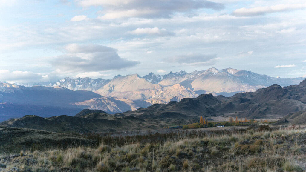
3-week one-way trip
This is the route we took. We started in the south, after disembarking the ferry from Puerto Natales and ended in Puerto Montt, but it works both ways.
If you’re with a vehicle, you’ll need to organise a one-way rental from Puerto Montt/Puerto Varas – Punta Arenas/Puerto Natales or vice versa.
In reality, you probably need a 3.5 or 4-week car rental to cater for the lengthy ferry ride to or from Puerto Natales (2 – 3 days), plus any extra bad weather days.
🛻 For a much more detailed version of this route, check out my 3-week Carretera Austral road trip itinerary
NORTH TO SOUTH
- 🌿 Hornopiren: 2 nights
- 🌋 Chaiten: 3 nights
- ❄️ Puyuhuapi: 2 nights
- 🍝 Coyhaique: 2 nights
- 🏔️ Villa Cerro Castillo: 2 nights
- 🧊 Puerto Rio Tranquilo: 2 nights
- 🦙 Parque Nacional Patagonia: 3 nights
- 💎 Cochrane: 2 nights
- 🪵 Caleta Tortel: 1 night
- 🌳 Villa O’Higgins: 2 nights
SOUTH TO NORTH
- 🌳 Villa O’Higgins: 2 nights
- 🪵 Caleta Tortel: 1 night
- 💎 Cochrane: 2 nights
- 🦙 Parque Nacional Patagonia: 3 nights
- 🧊 Puerto Rio Tranquilo: 2 nights
- 🏔️ Villa Cerro Castillo: 2 nights
- 🍝 Coyhaique: 2 nights
- ❄️ Puyuhuapi: 2 nights
- 🌋 Chaiten: 3 nights
- 🌿 Hornopiren: 2 nights

3-week round-trip from Puerto Montt
This itinerary starts and ends in Puerto Montt, and uses Chiloe Island as the connecting piece to create a round-trip without too much backtracking.
We didn’t visit Chiloe, so I don’t have any specific recommendations for the island, my apologies, but a week should be plenty!
With 2 weeks on the Carretera Austral, you can get a bit further south than Coyhaique, so there is some slight backtracking here, but nothing major.
You can reverse this if you like, but it doesn’t really change anything.
- 🌿 Hornopiren: 2 nights
- 🌋 Chaiten: 3 nights
- ❄️ Puyuhuapi: 2 nights
- 🍝 Coyhaique: 2 nights
- 🧊 Puerto Rio Tranquilo: 2 nights
- 🏔️ Villa Cerro Castillo: 2 nights
- 🐋 Puerto Cisnes: 1 night
- ⛴️ Ferry from Puerto Cisnes to Quellon (Chiloe Island) (12.5 hours)
- ⛪️ Chiloe Island: 7 nights
- ⛴️ Ferry from Chacao to Pargua (45 minutes), drive to Puerto Montt (45 minutes)
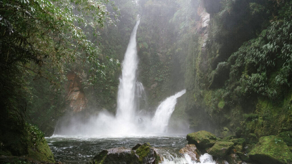
2-week one-way trip from Puerto Montt – Coyhaique
This route has you flying into Puerto Montt, renting a vehicle and organising a one-way drop-off in Coyhaique, where you will return the car and fly out of Balmaceda Airport. This can easily be done in reverse.
With two weeks, you will have enough time to travel further south than Coyhaique, especially if you’re okay with a faster pace. There is a small amount of backtracking because of this, but using the ferry across Lago General Carrera cuts out some driving on the way back.
NORTH TO SOUTH
- 🌿 Hornopiren: 2 nights
- 🌋 Chaiten: 3 nights
- ❄️ Puyuhuapi: 1 night
- 🍝 Coyhaique: 2 nights
- 🧊 Puerto Rio Tranquilo: 2 nights
- 🪨 Chile Chico & Parque Nacional Patagonia (Lago Jeinemeni Sector): 2 nights
- ⛴️ Ferry from Chile Chico to Puerto Ibañez (2 hours)
- 🏔️ Villa Cerro Castillo: 2 nights
SOUTH TO NORTH
- 🏔️ Villa Cerro Castillo: 2 nights
- ⛴️ Ferry from Puerto Ibañez to Chile Chico (2 hours)
- 🪨 Chile Chico & Parque Nacional Patagonia (Lago Jeinemeni Sector): 2 nights
- 🧊 Puerto Rio Tranquilo: 2 nights
- 🍝 Coyhaique: 2 nights
- ❄️ Puyuhuapi: 1 night
- 🌋 Chaiten: 3 nights
- 🌿 Hornopiren: 2 nights
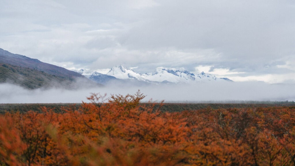
2-week round-trip from Coyhaique
This route has you flying in and out of Balmaceda Airport, renting a car/camper/van/RV from here and returning to the same place. Because of this, there is a little bit of backtracking, but using the ferry across Lago General Carrera cuts out some driving on the way back.
You can reverse it if you like, but it doesn’t really change anything.
- 🍝 Coyhaique: 2 nights
- 🏔️ Villa Cerro Castillo: 2 nights
- 🧊 Puerto Rio Tranquilo: 2 nights
- 💎 Cochrane: 3 nights
- 🦙 Parque Nacional Patagonia Valle Chacabuco: 3 nights
- 🪨 Chile Chico & Parque Nacional Patagonia (Lago Jeinemeni Sector): 2 nights
- ⛴️ Ferry from Chile Chico – Puerto Ibañez (2 hours)
Carretera Austral: Patagonia’s hidden gem
Whew, that was a big one!
Between this 12,000+ word post, plus my other 23 articles about the region, this is EVERYTHING I know about the Carretera Austral, and I hope it’s invaluable for planning your own trip to this special part of Chile.
Driving this remote and rugged road in a 4×4 camper was truly one of our most memorable travel experiences to date. There were so many moments where we looked around at the beautiful location we found ourselves in, surrounded by nothing but pristine nature, sheep and no humans and had to pinch ourselves that we were really here.
There are so few places left in the world where you can really get away from it all, and the Carretera Austral is one of them.
If you’re left with any questions or if there is anything I missed, please drop it in the comments below, and I will do my best to answer.
MORE CARRETERA AUSTRAL POSTS
- Our Epic 3-Week Carretera Austral Road Trip Itinerary
- Carretera Austral Ferries Guide: Mandatory + Optional Routes
- TABSA Ferry: Sailing from Puerto Natales to Puerto Yungay
- Camping on the Carretera Austral, Chile: Our Tips & Tricks
- Camper Travel Chile 4×4 Camper Review: Our Experience



The Comments
Richard Brown
Sally,
I am driving the Carretera Austral – 3 weeks mid Jan to Feb – 4×4 from Puerto Montt to Cochrane (maybe Caleta Tortel) then fly from Balmaceda. Just wondering whether you included a kit list ? I have seen one for day treks – anything else to include. We will be doing glacier trek so need boots that take crampons. Staying in hotels and only doing day treks so need for tents etc.
Thoughts welcome.
Richard
Sally Rodrick
Richard BrownHi Richard, that’s one thing I haven’t written is a complete pack list, sorry about that! However if you’re staying in accommodation and just doing day treks, my day-hike pack list is pretty much the gist of it, plus your regular travel items, toiletries etc. I’ve got some info about the things we bought/packed for our 4×4 camper rental here: https://sallysees.com/camper-travel-chile/#Whats-not-included A lot of it won’t be relevant if you’re not camping but there might be some pearls of wisdom in there. Good, waterproof hiking boots and layers is what you need, and you and you can play around with them to fit the conditions – thermal base layers, fleece, down jacket, an excellent water and windproof jacket and waterproof pants, good hiking socks, beanie, hat, scarf/buff, sun protection for Jan/Feb plus insect repellent – that’s pretty much the gist! Hope that helps, Sally
Alex
Hi Sally,
I just wanted to send a quick note to say thank you! Your Carretera Austral guides are hands-down the most thorough and genuinely useful resources I’ve found. My partner and I are starting the drive next week in a truck camper, and your posts have basically shaped our whole plan.
I can’t imagine how much time and research it took to put all of this together, but it really shows. I’ve read every guide you wrote on the roadtrip, and I’m sure we’ll be referencing them constantly as we make our way south.
Really appreciate the work you put into this, it’s been soo incredibly helpful!
Sally Rodrick
AlexHi Alex, thankyou so very much for your kind words and I am so thrilled to hear the articles have been useful for you. I hope you guys have a wonderful trip. I’ve just sent you an email with a little sneak peak of something else I’m working on for the Carretera Austral that you might find useful and I’d love you to ‘test’ for me! All the best, safe driving and enjoy this incredibly beautiful part of the world. P.S. in case you haven’t seen, CONAF have just announced the ice trekking on Glaciar Exploradores is closed for good 🙁 just in case you were planning that. Sally