This article contains affiliate links that may earn me a small commission at no extra cost to you. As an Amazon Associate, I earn from qualifying purchases. For more information, see our affiliate disclaimer.
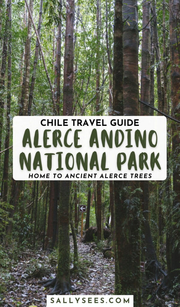
The Alerce Andino National Park in the Los Lagos region of Chile is the northern gateway to Patagonia. It’s the first park in the Ruta de los Parques de la Patagonia, a string of 17 national parks in Chile’s Patagonia.
We visited the Chaicas Sector of the park en route between Hornopiren and Puerto Montt, the finale to our epic Carretera Austral road trip.
If you’re travelling south, Parque Nacional Alerce Andino will be your first taste of the outstanding nature waiting for you as you travel deeper into Chilean Patagonia.
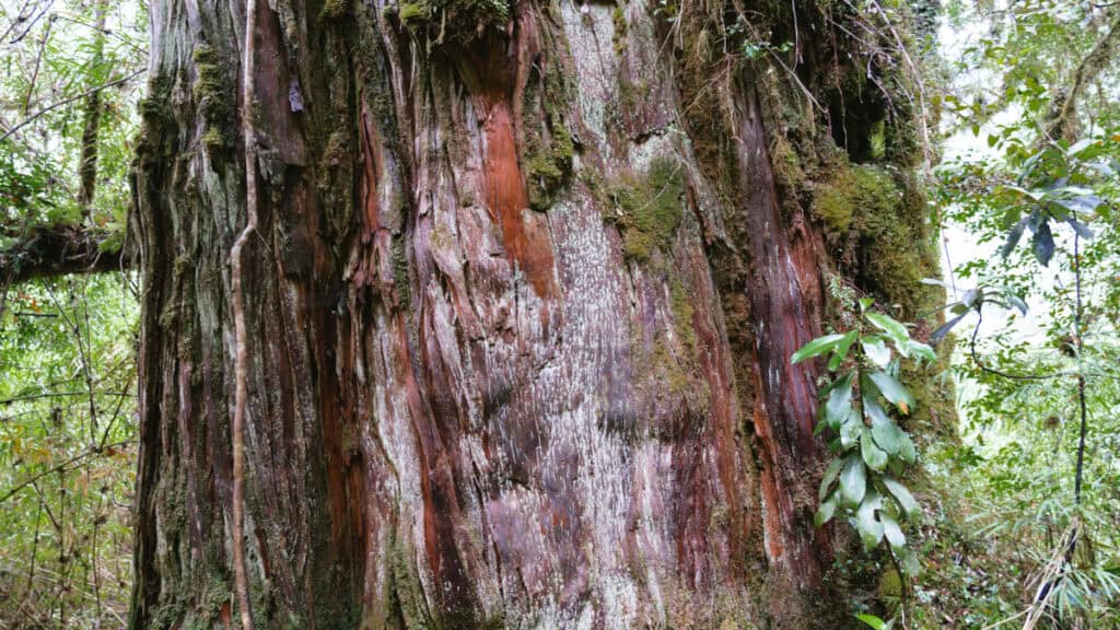
The park is famous for its namesake tree – the alerce. Also known as the larch, these ancient giants are more than 3,000 years old, towering more than 60 metres into the canopy. They’re thought to be older and bigger than the famous redwoods and sequoia trees, and it’s magical to witness a living thing that is so, so old.
This guide shares everything you need to know about Alerce Andino National Park. Including a rundown of the different sectors, hiking trails, amenities, hours and costs.


About Alerce Andino National Park
The Alerce Andino National Park is another sanctuary of ancient forests, hidden lagoons, and rich biodiversity in Chile’s Los Lagos Region.
Its crown jewel is the alerce (Fitzroya Cupressoides), a towering tree species related to redwoods and sequoias, some of which are more than 3,000 years old.
Also known as the ‘larch’ tree, these ancient giants are a truly special sight to see. It’s hard to fathom how many years they have stood tall in the forest, enduring all kinds of environmental, climatic and human changes.
Covering almost 100,000 acres, the park protects one of the largest remaining expanses of these millennia-old giants, alongside pristine rivers, granite peaks, and more than 50 lagoons tucked into its rugged landscape.
The park is divided into three main sectors:
- 🌿 Chaicas Sector: this sector is the most accessible for people travelling along the Carretera Austral (like us!). It has several trails showcasing forest, waterfalls, lagoons and an alerce milenario.
- 🌿 Correntoso Sector: this sector is easily accessible from Puerto Montt. There is only one trail here, the family-friendly Sendero Huillifotem.
- 🌿 Sargazo Sector: this sector has the biggest concentration of ancient alerce trees, as well as a few beautiful lagoons. It’s in a similar area to Correntoso, closer to Puerto Montt rather than the Carretera Austral.

Entrance fees and opening hours
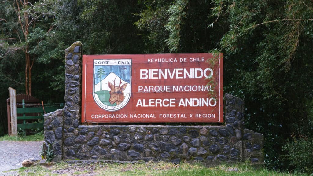
Entrance to the Alerce Andino National Park is 8,200 CLP (~$9.50 USD) for foreigners.
When we visited the Chaicas Sector, we could buy our tickets at the ranger station when we arrived with cash or card, but I have read that this is changing, and it may no longer be possible to buy tickets on arrival.
Update 2026: apparently you can still buy tickets at the gate, but with card only no cash. A reader advised that they had to use PayPal as a foreigner. I would suggest purchasing your tickets online in advance on the Pases Parques website.
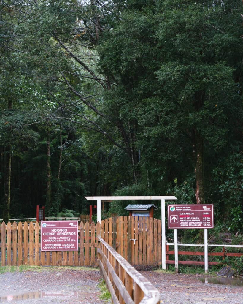
The park is open 7 days a week from 9:00 am.
In summer, you must enter before 3:00 pm, and the park closes at 5:00 pm.
In winter, the last entry is at 2:30 pm (it was when we visited in April), and the park closes at 5:00 pm.
Some trails have earlier closing times to allow you enough time to return before the park closes. The longer the trail, the earlier the closing time.
The long-distance trails close during the winter months or in case of bad weather.
When to visit
The Alerce Andino National Park is open year-round; however, some of the lengthier trails close during the winter months (usually April – October, dependent on current conditions).
The best time to visit the area for hopefully nice weather is during the summer months, from December – March.
Ordinarily, I would say to visit Patagonia between October – April, but this area is much wetter than other parts of the Carretera Austral, and the peak summer months of December – March give you the best chance of dry weather.
The park receives up to 4,000 mm of rain per year, so no matter when you visit, you need to be prepared for rain and a LOT of mud. They don’t call it a rainforest for nothing!
Getting to Alerce Andino National Park
Getting to the Chaicas Sector
This is the sector we visited, as it is the most convenient sector if you’re visiting the park as a pit stop along the Carretera Austral.
The Chaicas Sector is near the town of Lenca. This is the location of the entrance and ranger station.
It’s just under an hour from Puerto Montt if you’re travelling south.
It’s two hours from Hornopiren if you’re travelling north. From this direction, you’ll need to take the ferry across the Estero Reloncavi before reaching the park.
The ferry route is Caleta Puelche – Caleta La Arena. It is run by Transportes del Estuario, with departures every single day of the year, usually every hour, 24 hours a day. There is no need to book your ticket in advance. It’s first in best dressed, and you just pay for your ticket in line before you board. The trip takes approximately 30 minutes.
To reach the park entrance, you turn off the Carretera Austral onto V-701. This 7 km access road is entirely unpaved and quite bumpy in parts. We had no trouble in our 4×4, but you need to be very cautious if you’re in a regular car.
The condition really depends on the time of the year and how much rain they have had recently, as it can become very rutted. We saw regular cars in the car park, but I’ve also read reviews of people turning around before arriving, as the road was so bad.
Getting to Correntoso and Sargazo Sectors
The Correntoso and Sargazo Sectors are both accessed from Puerto Montt via Ruta V-655. It takes just over half an hour to reach the Correntoso Sector, and about an hour to reach the Sargazo Sector.
It’s paved for most of the way, but the final few kilometres are unpaved to either sector.
Most people report being able to pass in any type of vehicle, but again, it really depends on the season and recent rain as to how washed out the roads are. Recent Google Maps reviews are a good place to check road conditions.
Save hours planning your Carretera Austral road trip with our Handbook + Custom Map

Amenities at Alerce Andino National Park
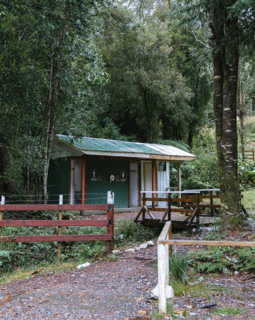
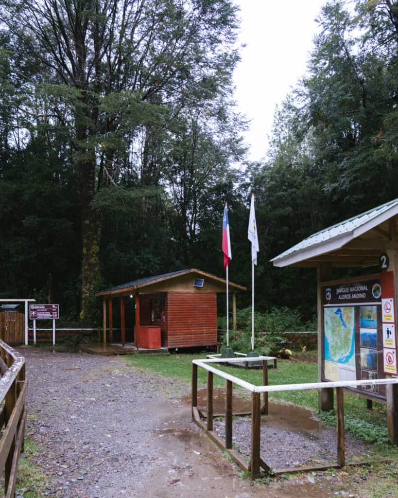
At each of the sector entrances, you’ll find a ranger station with bathrooms.
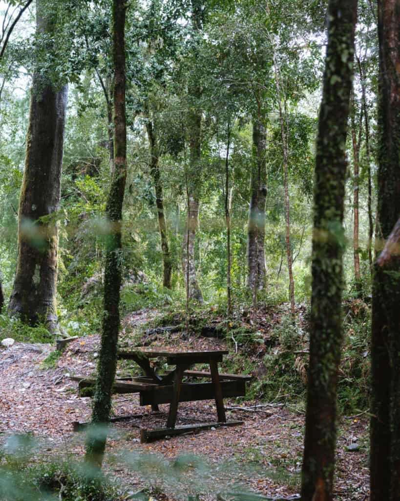
There were also nice picnic tables and sheltered areas at the Chaicas Sector. I believe the other two sectors also have this.
Camping is possible at Chaicas and Correntoso. I can’t find a lot of information about it online in terms of prices and opening months. Apologies for the lack of details, we didn’t stay here.
In Chaicas, the campground is called Camping Los Chucaos, and it is for hikers only. It is located just over 2.5 km (1.5 mi) from the entrance.
Trails in Parque Nacional Alerce Andino
Chaicas Sector
Mirador El Encanto
- 🥾 Trail type: out-and-back
- 📍 Trailhead location: Chaicas Sector entrance
- 🗺️ Trail map: N/A
- 📏 Distance: N/A
- 📈 Elevation gain: N/A
- 🥵 Difficulty: easy
- ⏳ Duration: < 15 minutes
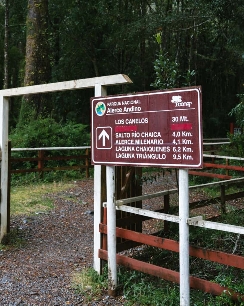
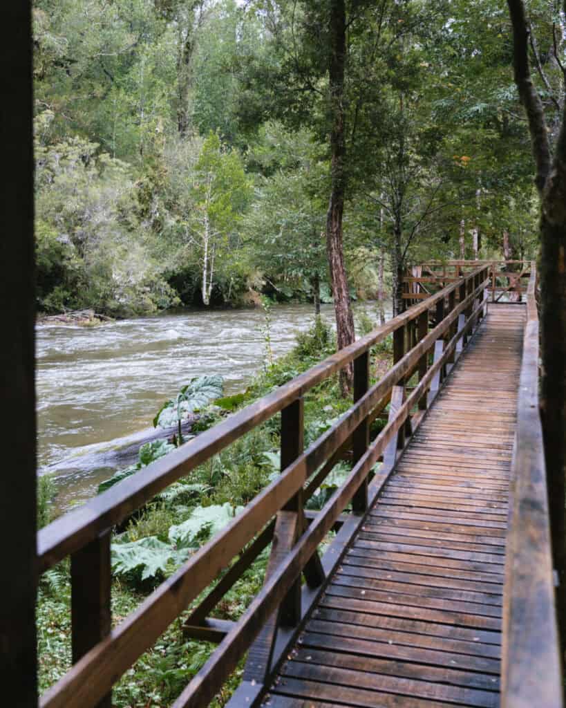
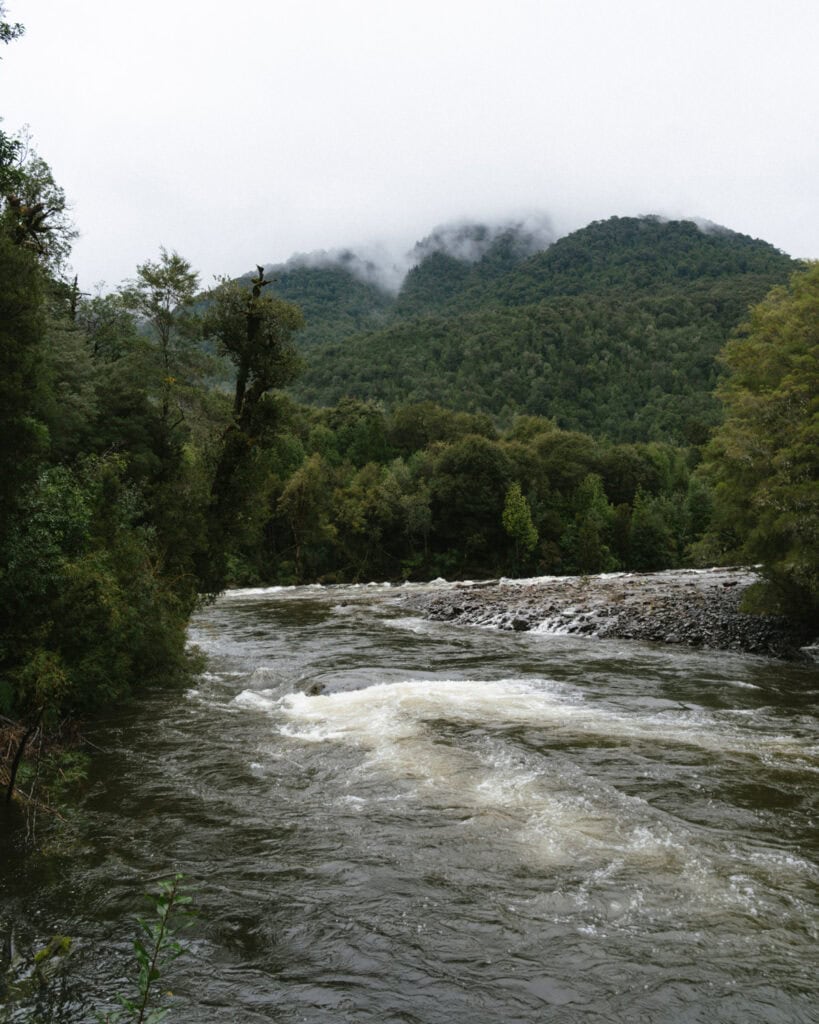
Not so much a trail, but rather a nice mirador overlooking the Rio Lenca. It’s just before the ranger station and leads to a boardwalk and lookout area. The picnic tables are in this area.
Sendero Los Canelos
- 🥾 Trail type: loop
- 📍 Trailhead location: Chaicas Sector entrance
- 🗺️ Trail map: N/A
- 📏 Distance: 0.8 km (0.5 mi)
- 📈 Elevation gain: N/A
- 🥵 Difficulty: easy
- ⏳ Duration: 30 minutes
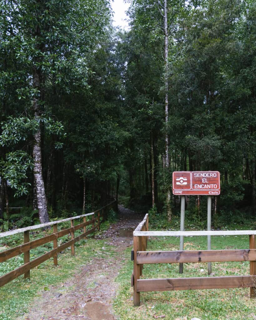
A short interpretative trail through gorgeous forest, with lots of signs and information about different trees and wildlife. It’s muddy and slippery, like everywhere in the park, but not difficult.
Sendero Salto Rio Chaicas & Alerce Milenario
- 🥾 Trail type: out-and-back
- 📍 Trailhead location: Chaicas Sector entrance
- 🗺️ Trail map: AllTrails
- 📏 Distance: 7.7 km (4.8 mi)
- 📈 Elevation gain: 123 m (404 ft)
- 🥵 Difficulty: easy
- ⏳ Duration: 1.5 – 2.5 hours
If there’s one trail you do in the park, make it this one.
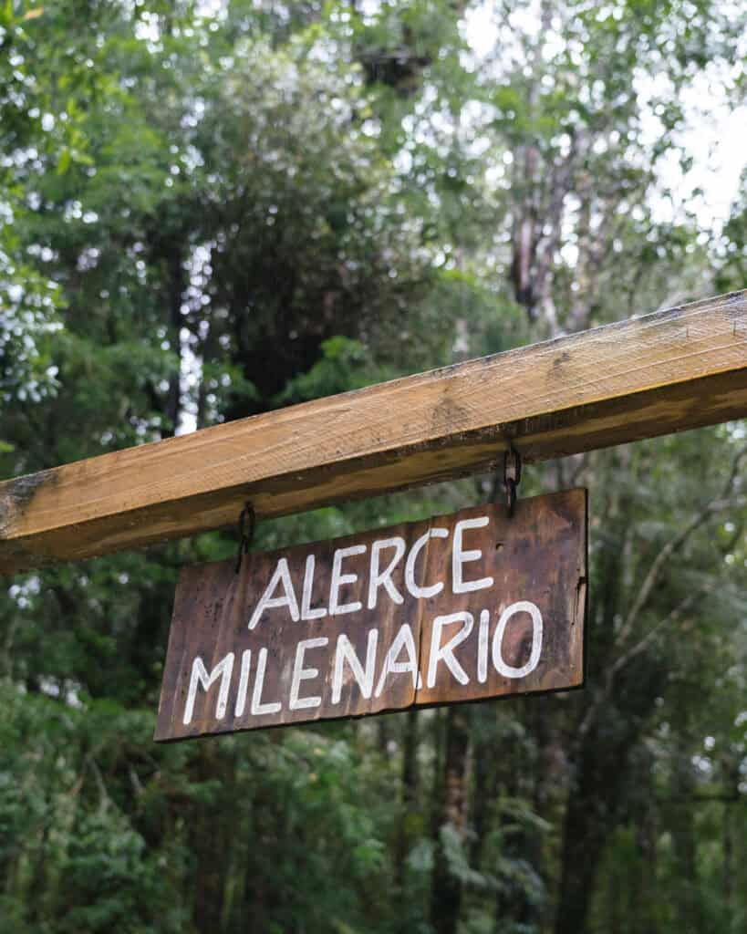
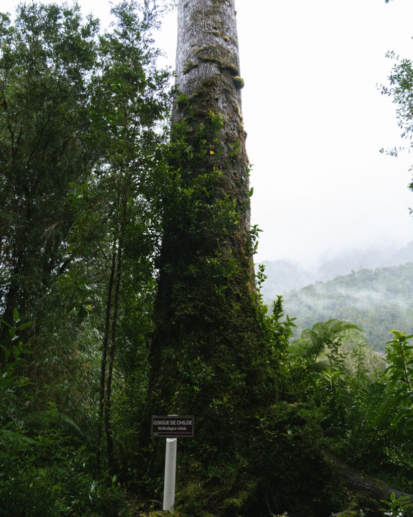
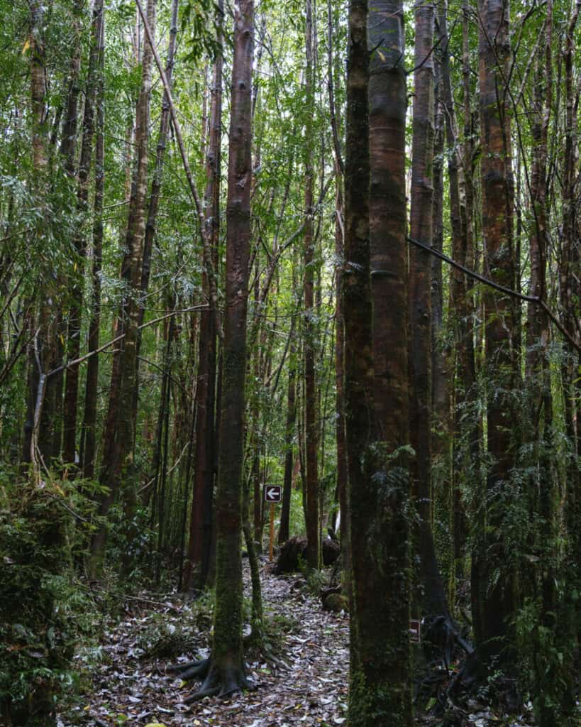
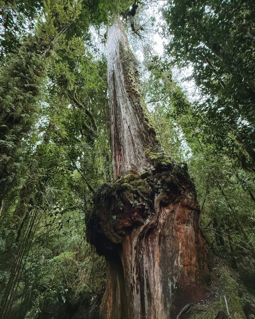
It’s not too long, not too short, and a quite flat, easy trail (except for the mud) that takes in the beautiful Valdivian rainforest, the Salto Rio Chaicas waterfall and the Alerce Millenario, a forest giant more than 3,000 years old.
Sendero Laguna Chaiquenes and Laguna Triangulo
- 🥾 Trail type: out-and-back
- 📍 Trailhead location: Chaicas Sector entrance
- 🗺️ Trail map: AllTrails
- 📏 Distance: 15.6 km (9.7 mi)
- 📈 Elevation gain: 537 m (1,762 ft)
- 🥵 Difficulty: hard
- ⏳ Duration: 5 – 6 hours
There is basically only one out-and-back trail in the Chaicas Sector of the park, and you choose how far you go.
The trail to these two lagoons is the same trail to the waterfall and the alerce tree.
The first lagoon, Laguna Chaiquenes is about 1.3 km past the Alerce Milenario. The second lagoon, Laguna Triangulo is another 2.4 km on from Laguna Chaiquenes, with quite a substantial increase in elevation.
Basically, you can go as far as you like and choose which sights to see before turning around.
The trail usually closes after Laguna Chaiquenes in the wintertime. You can only go all the way to Laguna Triangulo in the summer.
Correntoso Sector
Sendero Huillifotem
- 🥾 Trail type: loop
- 📍 Trailhead location: Correntoso Sector entrance
- 🗺️ Trail map: AllTrails
- 📏 Distance: 2.3 km (1.4 mi)
- 📈 Elevation gain: 91 m (299 ft)
- 🥵 Difficulty: easy
- ⏳ Duration: 1 hour
A short but lovely interpretative trail showcasing the trees and forest of the park. It starts with a big wooden staircase that leads to some nice lookouts over the canopy.
The stairs make the trail difficult for people with mobility issues, but it’s a great trail for kids, as it’s quite flat and easy besides the stairs.
Sargazo Sector
Sendero Los Ulmos
- 🥾 Trail type: loop
- 📍 Trailhead location: Saragasso Sector entrance
- 🗺️ Trail map: N/A
- 📏 Distance: 1.1 km (0.7 mi)
- 📈 Elevation gain: N/A
- 🥵 Difficulty: easy
- ⏳ Duration: < 30 minutes
This is a very short interpretative trail near the entrance to the sector. It’s a good place to spot birds, and you should keep your eyes and ears out for woodpeckers.
Sendero Laguna Sargazo
- 🥾 Trail type: out-and-back
- 📍 Trailhead location: Sargazo Sector entrance
- 🗺️ Trail map: AllTrails
- 📏 Distance: 5 – 8.2 km (3.1 – 5.1 mi)
- 📈 Elevation gain: max 461 m (1,512 ft) depending on which route you choose
- 🥵 Difficulty: moderate
- ⏳ Duration: 2 – 3 hours
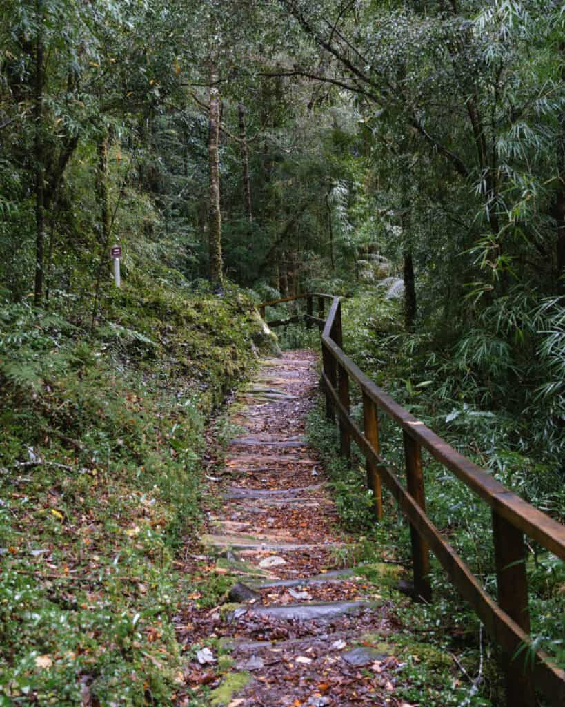
The Laguna Sargazo trail has recently been renovated (winter 2025) with new boardwalks and miradors.
There are two options to see the lagoon. The trail branches left and right to different parts of the lake, and you can choose to see one or both.
The left branch actually includes part of the next trail, the Rodal de Alerce.
I’d recommend looking at a map when you arrive at the park, as they have opened new trails and lookouts that aren’t reflected in the trail maps online.
Sendero Radal de Alerce and Laguna Fria
- 🥾 Trail type: out-and-back
- 📍 Trailhead location: Sargazo Sector entrance
- 🗺️ Trail map: AllTrails
- 📏 Distance: 14.6 km (9.1 mi)
- 📈 Elevation gain: 572 m (1,877 ft)
- 🥵 Difficulty: moderate
- ⏳ Duration: 5 – 6 hours
This is another trail that is undergoing reparation and improvement works, to add and fix the many wooden boardwalks, staircases and lookouts.
On the northern shore of Laguna Sargazo, there is one out-and-back trail that leads to many attractions, and you can choose how far you go.
The Radal de Alerce trail is the first section, leading to multiple different Alerce Milenarios ranging in age from 1,000 – 3,000 years old. If you just want to see the trees and aren’t interested in going to the lake, it’s approximately 5.2 km (3.2 mi) there and back.
It’s quite an extra distance to go all the way to Laguna Fria. This trail is definitely closed during the winter months, and must be started quite early if you want to tackle it.
Wildlife to look out for
Alerce Andino National Park is better known for its alerce trees and other flora than wildlife.
That doesn’t mean there isn’t any wildlife here, it’s just not as common to spot a lot of animals as in say, Valle Chacabuco in Parque Nacional Patagonia.
There is some excellent birdwatching around the park, and you have a great chance of spotting kingfishers, woodpeckers, hued hueds, condors and swans around the lagunas.
In terms of mammals, pumas do live in the park, but they are very difficult to sight. A small cat, güiña, also lives in the park but is equally elusive. Foxes are more common, as are the monito del monte, a cute opossum.
If you’re lucky, you might see the very elusive and adorable pudu. The smallest deer in the world, the pudu is native to the Valdivian temperate forests of Chile. I had my eyes peeled constantly, but unfortunately, no dice!
What to bring
This is our go-to day-hike packing list for Patagonia.
We amend it slightly depending on the trail distance and terrain, and weather conditions, but as a base, this is everything we think about before a long day hike. Never forget that the weather in Patagonia can change on a dime, so even if you set out hiking in sunshine, you need extra layers for wet or freezing conditions.
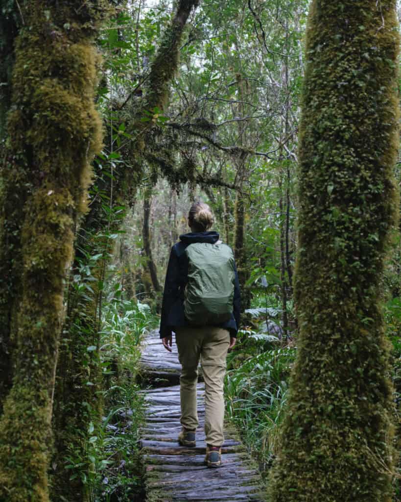
Alerce Andino National Park is WET most of the year, so come prepared for mud and rain. That means proper waterproof hiking boots, rain pants and jacket, covers for your bag and trekking poles to help with mud.
- 💦 Water bottles x 2 per person
- 🫧 Electrolyte sachets
- 🍭 Lollies
- 🥪 Lunch or snacks
- 🍴 Reusable cutlery kit (if required for food)
- ♨️ Thermos with hot water
- ☕️ Reusable coffee cup
- 🫖 Tea or coffee bags
- 🥾 Hiking poles
- 👀 Binoculars
- 🔦 Head torches
- 🧢 Hat
- 😎 Sunglasses
- 🧴 Sunscreen (reef-friendly)
- 🦟 Insect repellent (natural)
- 🧥 Rain coat and pants
- ☔️ Dry bags and/or waterproof bag cover
- 🧣 Gloves, scarf/buff and beanie
- 🥶 Extra warm layers
- 🧦 Spare pair of socks
- 🩳 Shorts to change into if warm
- 🧖🏽♀️ Towel (if swimming)
- 👙 Bathers (if swimming)
- 🩹 Mini first aid kit and medicines
- 🧻 Tissues and/or toilet paper
- 🚽 SheWee
- 📱 Charged phone with trail map downloaded offline
- 📷 Camera with spare batteries and memory card
- 📚 Ereader
- 🔌 Powerbank and phone cord
Planning a trip to Hornopiren
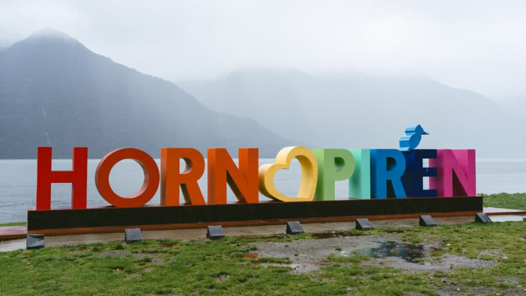
With the exception of Puerto Montt (which I personally don’t think is worth visiting), Hornopiren is the nearest town to the Chaicas Sector of Alerce Andino National Park. It’s the perfect first or last stop on a Carretera Austral road trip. Don’t forget to read our Hornopiren travel guide, which covers all the important info you need to know about the town, like getting there, getting around, the best places to eat, where to stay and other handy tips to get your bearings.
🌿 Everything you need to know about Hornopiren
Final thoughts: Alerce Andino National Park
Alerce Andino National Park was the final attraction on our north-bound road trip of the Carretera Austral.
By this point, we’d seen the lush Valdivian rainforest in Hornopiren National Park, Pumalin National Park and Queulat National Park, but we never tired of it.
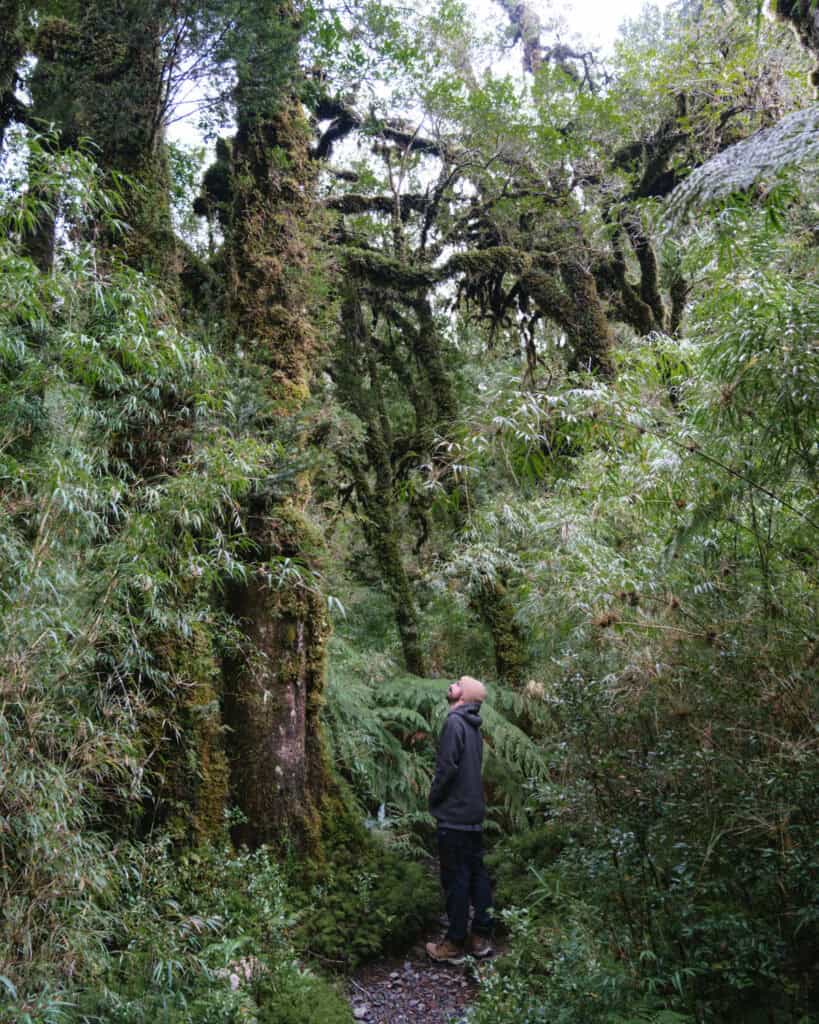
This park is another excellent example of the moist forest that is typical of Northern Patagonia, with moss covering every surface, leaves dripping with moisture and slippery, muddy trails to contend with.
Brayden and I often stand and admire tall trees in the forest, and we always ask each other ‘I wonder how old they are?’. Well, in this case, I could confidently say that the alerce trees we were looking at were more than 1,000 years old, in some cases up to 3,000 years old. Mindblowing.
I really recommend a pit stop in the Chaicas Sector of the park if you’re travelling the Carretera Austral. You can comfortably visit in one day en route between Puerto Montt and Hornopiren or vice versa.
Don’t forget to check out our Hornopiren guide too, it’s a much nicer place to spend time in compared with Puerto Montt, and I think it’s the best first/last stop on any Carretera Austral trip.
MORE HORNOPIREN POSTS