This article contains affiliate links that may earn me a small commission at no extra cost to you. As an Amazon Associate, I earn from qualifying purchases. For more information, see our affiliate disclaimer.
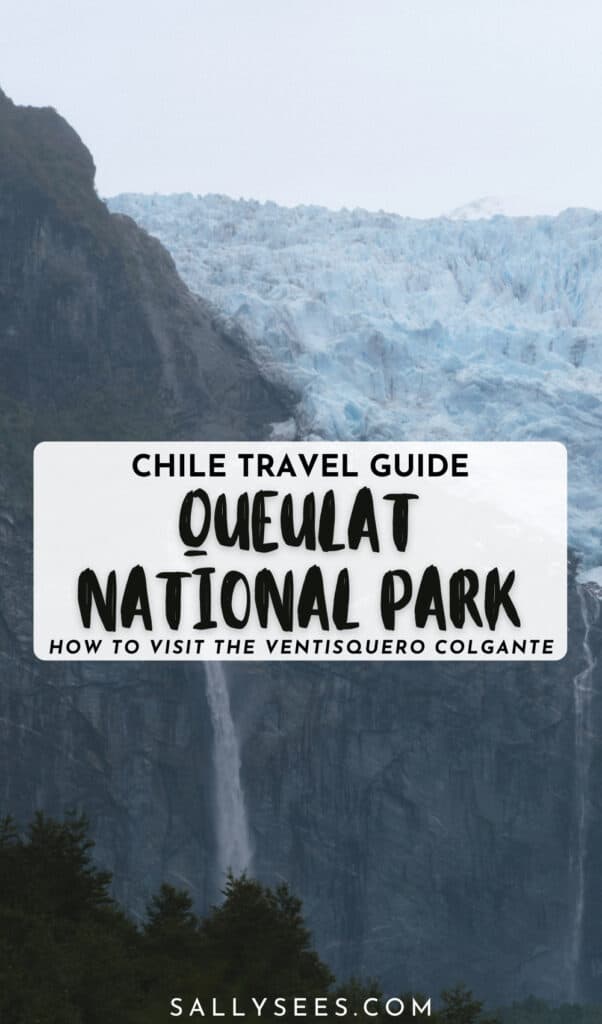
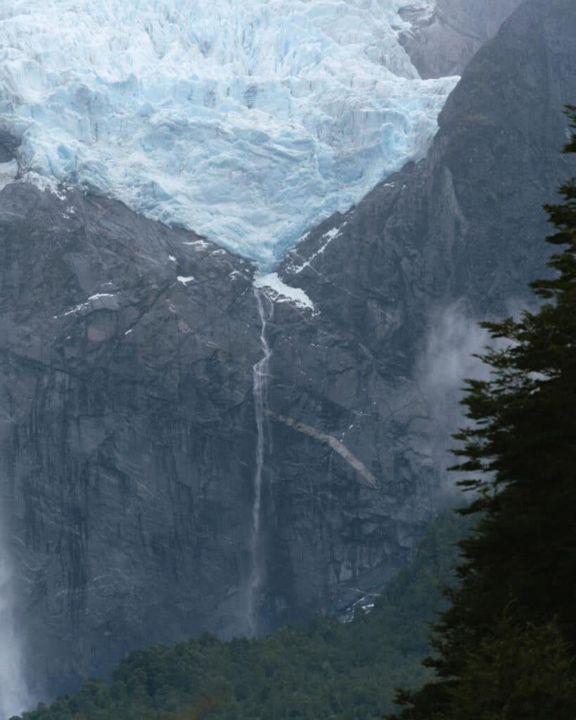
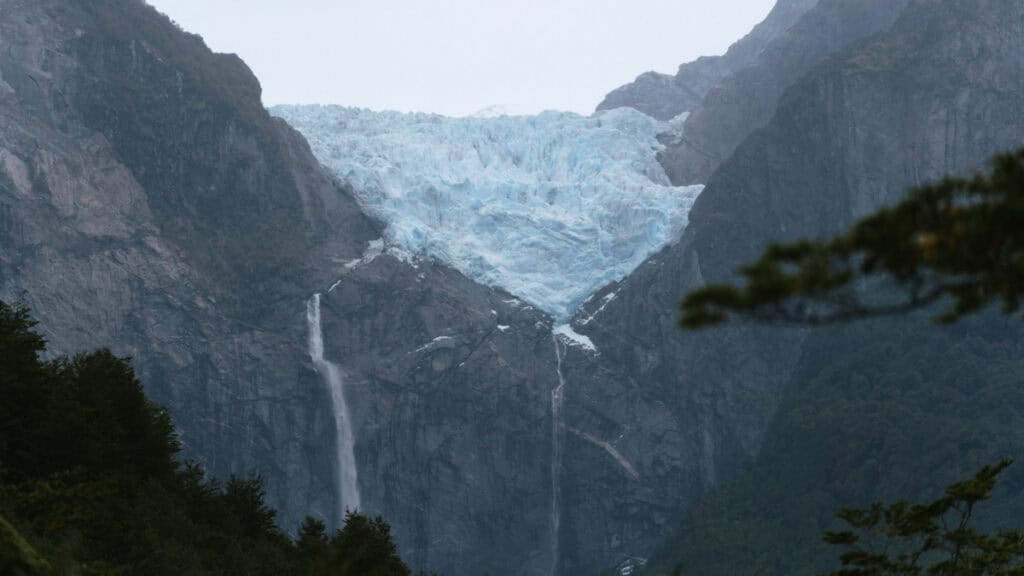
Picture this: a bright blue mass of ice, cradled in a jagged rocky cliff, suspended hundreds of metres above the ground. A thundering waterfall drops glacial melt into a lagoon below, with mystical fog hanging in the air.
This is the Ventisquero Colgante, aka the Hanging Glacier in Queulat National Park. This jaw-dropping scene has become an icon of the Carretera Austral region in Chilean Patagonia.
The national park hosts various trails, some with viewpoints of the famous Hanging Glacier, others amongst the fairytale Valdivian forest, dripping with moss and moisture. Travelling from the south, this was our first taste of the temperate rainforest that is typical of Northern Patagonia, and we absolutely loved it.
Like many places in Chile, organising a visit here feels far more complicated than necessary! Ticket purchases must be made online in advance, with strict entry times that vary by trail and a lot of outdated information online.
I’m here to demystify Parque Nacional Queulat!
This is everything you need to know about visiting the park, including how to see the famous Hanging Glacier, other trails and attractions, how to purchase your tickets and key planning info.

About Parque Nacional Queulat
📣 2026 UPDATE
The works that were ongoing at Queulat National Park in 2025 are now complete as of January 2026, and it seems that the entire park has reopened. The alert notice on the park’s website is no longer there and a few readers have alerted me that they were able to do all the trails again. Woo hoo! It took almost 12 months to complete the works.
The Sendero Ventisquero Colgante (aka the main hike to the glacier) has reopened and been renamed Sendero La Morenna. The Sendero Laguna Tempanos, along with the boat rides you can take in the lagoon to get up close to the glacier, are operational again.
Queulat National Park is one of the most spectacular natural highlights along the Carretera Austral. It’s Hanging Glacier has become a symbolic image of the highway, and it’s definitely worth all the fuss.
Created in 1983, the park protects more than 1,500 square kilometres of temperate rainforest, fjords, rivers, and mountains. The park is divided into three sectors:
- 🌿 Angostura: north of Puyuhuapi, this sector provides access to the Laguna de los Pumas trail
- 🧊 Ventisquero: this sector is the most popular and is where you will find the Hanging Glacier
- 💦 Portezuelo: the southernmost sector through which the Carrera Austral winds, with roadside waterfalls
Its name, Queulat, comes from the Chono word for ‘sound of waterfalls’, which is so fitting given how many stunning waterfalls are found inside the park.
The Carretera Austral passes right through the national park. We approached from Coyhaique in the south, and it was a stunning preview with rainforest practically falling onto the road, waterfalls right alongside the highway and glimpses of the glacier.
During the previous few weeks, we had been soaking up golden autumn colours in deciduous forest, but driving into Queulat was our first taste of the moist, evergreen forest that is typical of Northern Patagonia.
It makes sense, given the park is one of the wettest places in all of Chile, receiving over 4,000 mm per year. Prepare for rain, no matter what month you’re visiting, and be prepared that mist and fog may conceal the glacier.
The star attraction here is the Ventisquero Colgante, or Hanging Glacier, where a massive ice field spills over a sheer rock face, with glacial meltwater tumbling hundreds of metres into a lagoon below.
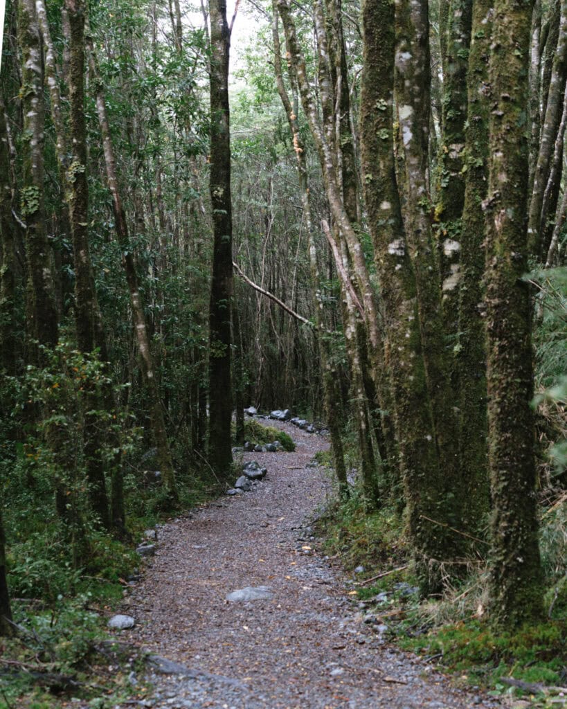
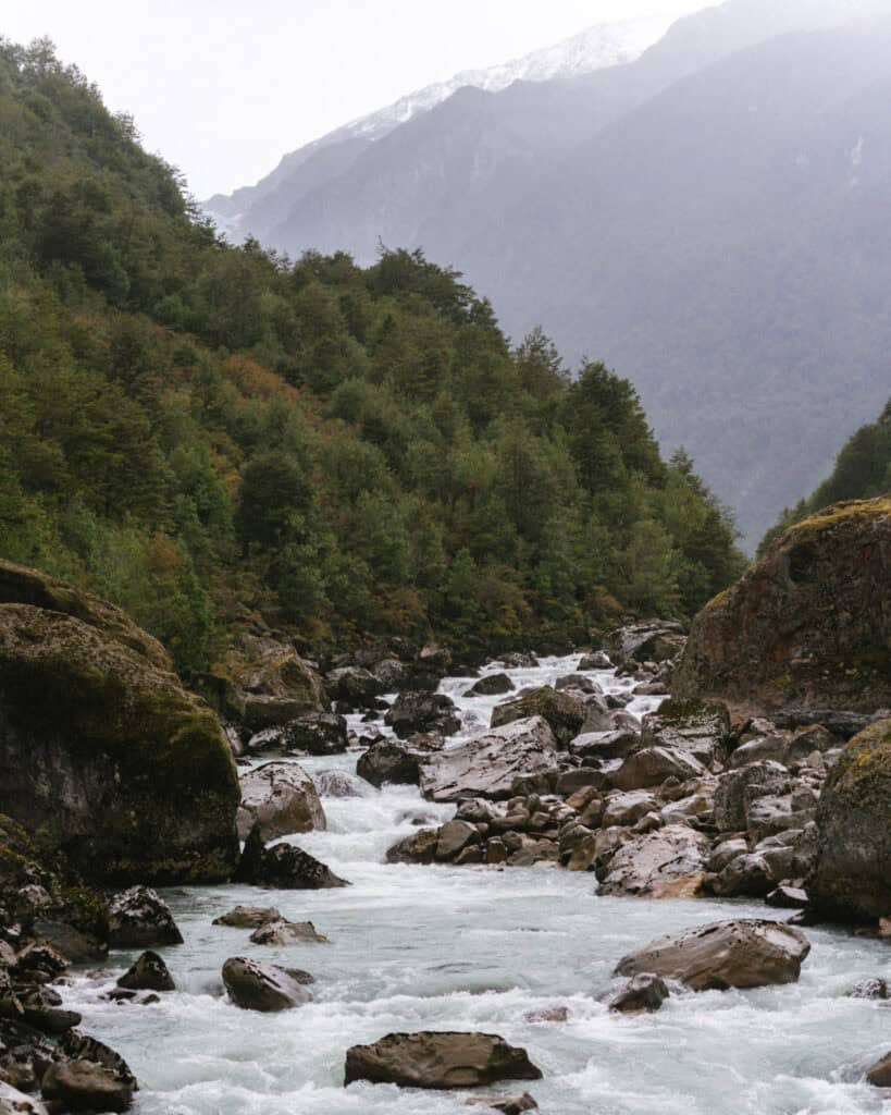
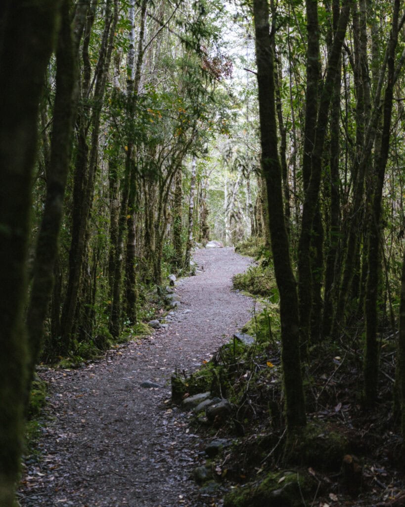
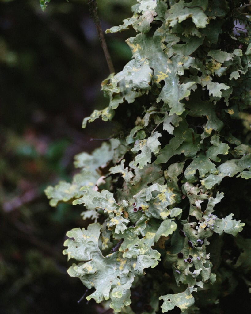
The glacier is spectacular and alone worth the trip, but the park is far more than just one viewpoint. Although most trails lead to the glacier, the scenery along the way is just as spectacular. The dense evergreen forest dripping with moss felt like a fairytale, suspension bridges cross roaring rivers, and quiet lakes offer incredible reflections of the surrounding peaks.
Entrance fees and opening hours
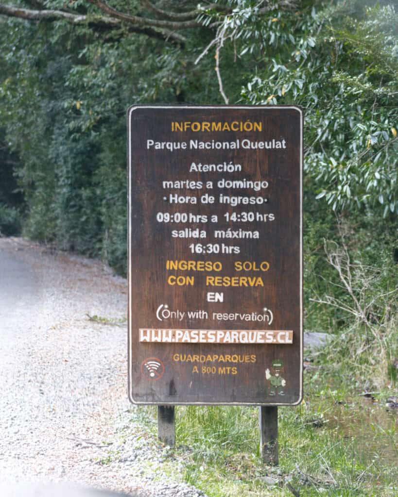
The Queulat National Park is open from Tuesday – Sunday, it is closed on Mondays.
The park is open from 9:00 am – 4:30 pm, however the last entrance is at 2:30 pm.
Certain trails have earlier closing times, and if you want to hike the Sendero Ventisquero Colgante (aka La Morrena), you must start before 1:30 pm, and the mirador closes at 3:00 pm to make sure hikers are back at the entrance before the park closes.
The entrance fee is 11,400 CLP (~$12 USD) for foreign adults.
You must purchase your tickets online in advance. I repeat, you must buy your tickets online in advance. They do not sell tickets at the park, and there is no phone service or wifi available to get onto the park’s website on the spot.
🎟️ Buy your tickets for Parque Nacional Queulat here
When to visit
The Queulat National Park is open year-round.
The best time to visit the area for hopefully nice weather is during the summer months, from around December – March. This area is much wetter than other parts of the Carretera Austral, and rain is possible year-round, but these months give you the best chance of dry weather.
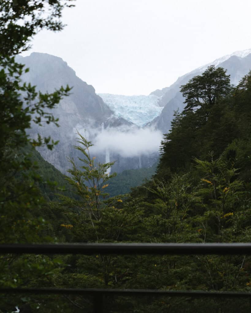
Do note that it is very common for the Hanging Glacier to be concealed by cloud or light mist. It can shift quite quickly if there is wind, but it’s worth checking the weather in advance of your visit. If you can avoid a rainy day, that is ideal (easier said than done in this area, I know!).
Check the detailed forecast on WindGuru before you set out. They have a helpful cloud cover forecast.
Don’t forget that this is a very popular attraction with Chilean and foreign tourists, so it can be very busy in the summer. The way the park is laid out, with concentrated lookout decks, it can get crowded, especially on holidays and weekends.

Getting to Parque Nacional Queulat
Assuming you’re going to the Ventisquero Sector, where most visitors are going, it is a 30-minute drive south of Puyuhuapi.
If you’re driving, this is the location you want to put in your map.
There are several car parks. The biggest parking area, and the one that they required us to park in with our camper was at the ranger station, and then we walked ~1.5 km (0.9 mi) through the forest to the main viewing area where the rest of the trails are.
There is another car park right here, so you can essentially drive right to the lookout, however, the ranger said any vehicles with a black water tank were not permitted to park in that area. Weird, but I guess they’re trying to prevent any accidental waste leakage?
She also advised that in the peak summer months, the closer car park gets full quickly, and regular vehicles most likely need to park in the bigger overflow park anyway.
Outside of Puyuhuapi, the nearest major town is Coyhaique, which is over 3 hours away, so I wouldn’t really recommend visiting on a day trip. Puyuhuapi is the best place to base yourself before/after your visit to the park.
If you don’t have a vehicle, there is allegedly a bus (according to this website, the best I’ve found for the Carretera Austral) that leaves Puyuhuapi at 8:30 am and returns from the park at 1:00 pm.
Theoretically, any other bus heading south from Puyuhuapi (to Coyhaique or Puerto Cisnes) will pass the intersecting road into the park on the Carretera Austral. It’s about a 1.5 km (0.9 mi) walk from the highway junction to the ranger office.
You can also organise a shared transfer with Experienca Austral, the major tour company in Puyhuapi. This seems like a very reliable option that you can book online in advance.
As is common in this part of Patagonia, you can also try to hitchhike to the park from Puyuhuapi.
I have also read that the rangers will take a few tourists from Puyuhuapi in their cars each day for a small fee. I can’t confirm if this is still happening, and what the current price is, but some old information I found was that they leave from the front of Mi Sur Restaurant between 8:00 – 9:00 am, and charge 3,000 CLP per person.
🚌 These directions assume you’re already in Puyuhuapi. For info about getting to Puyuhuapi, check out our travel guide
Save hours planning your Carretera Austral road trip with our Handbook + Custom Map

Amenities at Parque Nacional Queulat
There are little to no amenities inside the Queulat National Park.
You’ll find toilets at the Ventisquero Sector, where all the trailheads and miradors are located, but that’s about it.
There are no food outlets, so pack everything you need for the day. I think there were some potable water taps, but I can’t confirm 100% sorry!
Near all the trailheads, there is a small interpretation centre with some detailed signage about the flora and fauna of the park, and information about glaciers. It was all in Spanish, but it’s worth a quick look.
Camping and accommodation in Parque Nacional Queulat
There is one campground inside the Ventisquero Sector of the park, after you’ve passed the ranger station. It is the official campsite inside the park, but I believe it’s managed externally by Experienca Austral.
We walked past the camping area, and it looked lovely with lots of individual covered huts for tents or small vehicles, each with a potable water tap.
There are toilets and (cold) showers.
However, the price is a very steep 12,000 CLP per person, and you can only check in during the park’s admittance hours (from 9:00 am – 2:30 pm), which is quite odd.
There are also a few privately owned campgrounds just outside the entrance. Camping Ventisquero Colgante is the best rated, and according to their name on Google Maps, charges 8,000 CLP per night.
Otherwise, Puyuhuapi town is less than 30 minutes north along the Carretera Austral and has a range of accommodations for all budgets. Check out my recommendations for hostels and hotels in my Puyuhuapi guide.
How to see the Ventisquero Colgante de Queulat
In case you hadn’t noticed already, the star of the show in Queulat National Park is the Hanging Glacier, so let me explain exactly how you can see this stunning icy spectacle!
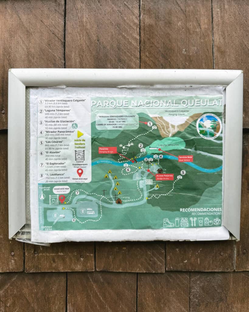
Sendero Mirador Panoramico
- 🥾 Trail type: out-and-back
- 📍 Trailhead location: Ventisquero Sector
- 🗺️ Trail map: AllTrails
- 📏 Distance: 500 m (1,640 ft)
- 📈 Elevation gain: 27 m (89 ft)
- 🥵 Difficulty: easy
- ⏳ Duration: < 30 minutes
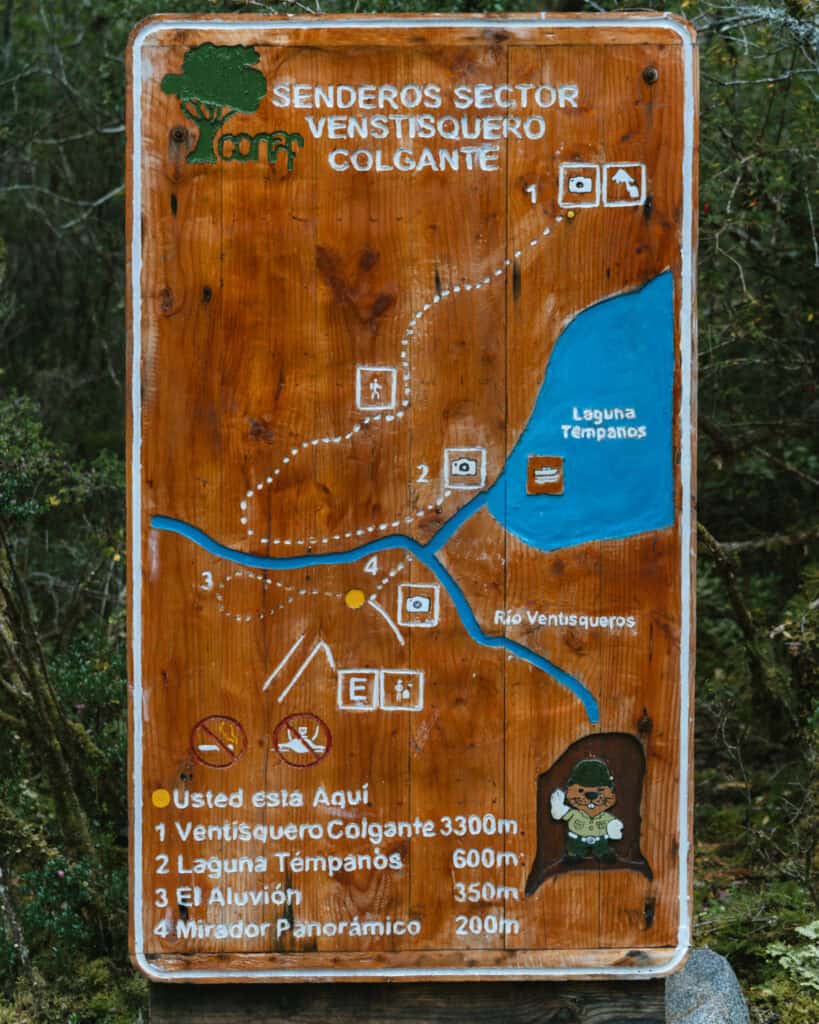
The quickest and easiest way to get a glimpse of the Ventisquero Colgante is the Sendero Mirador Panoramico.
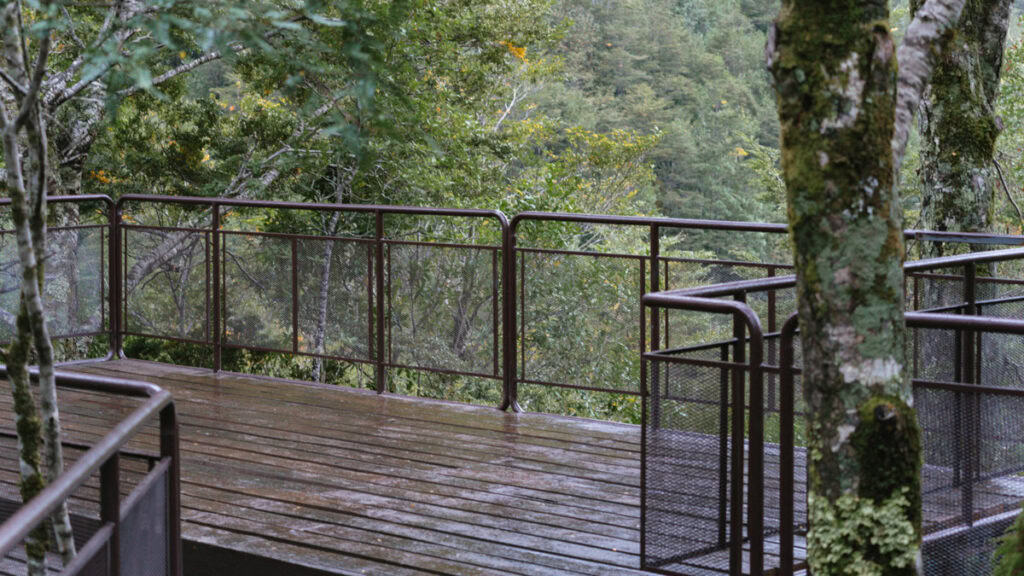
This short trail winds through gorgeous, dense forest dripping with moss. It might be short, but you are straight into the best of the temperate rainforest. It leads to a wooden viewing platform with a pretty decent view of the glacier.
I wouldn’t say it’s a close-up, but if you’ve got a clear day, it’s very visible, and you can clearly see the glacier and the waterfall, just not the lagoon below.
If you’ve got the time/fitness to do the main hike to the Mirador Ventisquero Colgante (aka La Morrena), definitely opt for that one. This trail was just the consolation prize while the other trail is closed, but now that the park is fully reopen, I’m not sure it’s really worth it.
There is a second little arm to this trail, called the Sendero Huellas de Glaciación. It’s an accessibility friendly wooden boardwalk, just 80 m (262 ft) out-and-back.
Sendero Laguna Tempanos
- 🥾 Trail type: out-and-back
- 📍 Trailhead location: Ventisquero Sector
- 🗺️ Trail map: AllTrails
- 📏 Distance: 1.3 km (0.8 mi)
- 📈 Elevation gain: 26 m (85 ft)
- 🥵 Difficulty: easy
- ⏳ Duration: < 1 hour
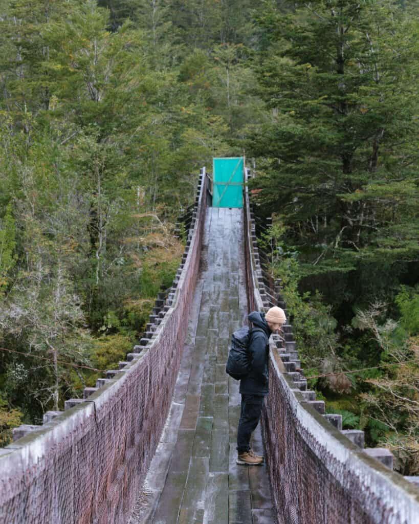
This trail heads a little deeper into the park and slightly closer to the glacier. You get to cross the famous suspension bridge over the Rio Ventisquero, and you get periodic glimpses of the river along the trail.
Like all the lengthier hikes in the park on natural paths, it can be super muddy, so wear sturdy shoes that can handle a bit of water.
The primary reason people do this trail is to join a boat ride in the Laguna Tempanos and get a close-up view of the waterfall. More below…
Laguna Tempanos boat ride
If you don’t want to hike the lengthier Sendero Ventisquero Colgante (aka La Morrena) (more below), the best way to see the glacier and its waterfall is on a boat ride on the Laguna Tempanos.
You will need to walk the Sendero Laguna Tempanos (1.3 km / 0.8 mi return), where you will find boats waiting at the dock.
From what I understand, part of the recent work that has been completed was to improve the infrastructure in this dock area. This part of the park was a bottleneck and got very crowded during peak months with people waiting for boat rides, so hopefully, they have improved the flow and space here.
In terms of your boat ride, you don’t need to book in advance. You simply turn up at the pier with cash and wait for the boats to depart when full.
I would recommend checking in with the rangers about the current boat schedules when you arrive, so you can plan your day in the park accordingly.
I believe the cost is between 15,000 – 20,000 CLP per person, in cash, depending on the operator.
The navigation is around 30 – 45 minutes, and you’ll cross the lagoon to its northern shore for an up-close view of the cascada and the glacier. We were so disappointed we couldn’t do this when we visited, as it looks like an excellent and comparatively affordable glacier boat ride.
From what I understand, there are a few companies offering boat rides, but Experienca Austral is one of them (which runs the campground), and they’ve got some helpful details on their website. Their tour is 18,000 CLP.
Sendero Mirador Ventisquero Colgante (aka La Morrena)
- 🥾 Trail type: out-and-back
- 📍 Trailhead location: Ventisquero Sector
- 🗺️ Trail map: AllTrails
- 📏 Distance: 6.6 km (4.1 mi)
- 📈 Elevation gain: 300 m (984 ft)
- 🥵 Difficulty: moderate
- ⏳ Duration: 2 – 3 hours
- ⏰ Access time: you must start prior to 1:30 pm, the mirador closes at 3:00 pm
The crème de la crème of Queulat National Park is the Sendero Mirador Ventisquero Colgante, which has recently been renamed Sendero La Morrena after the recent works.
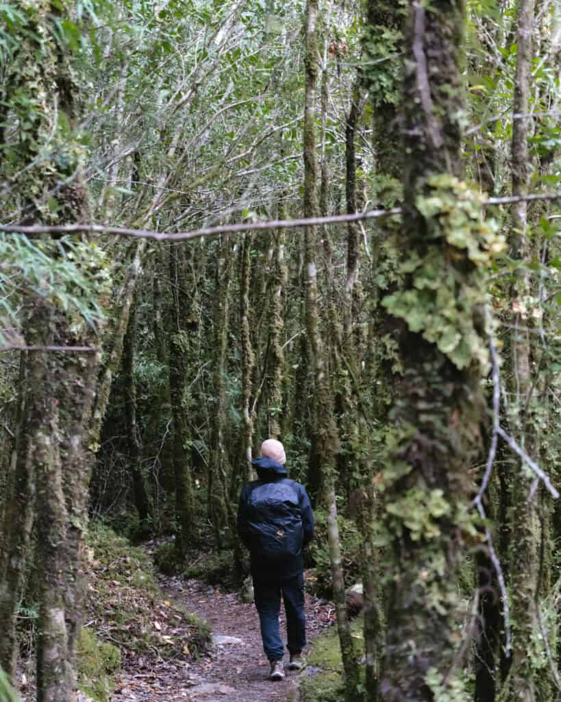
This moderate hike leads you across the suspension bridge over the Rio Ventisquero and deep into the park. You’ll pass through dense, temperate rainforest, gently ascending as you approach the glacier.
The mirador offers the most privileged view of the glacier and the waterfall. The boat ride is nice, but nothing beats this slightly elevated view.
If you’re lucky, you’ll see some chunks of ice calve off the glacier and drop hundreds of metres into the lagoon below. Pretty epic!
Be prepared for a muddy and slippery trail. Hiking boots and poles are a good idea.
You must start the trail before 1:30 pm. They close the mirador at 3:00 pm to allow you time to get out of the park before it closes at 4:30 pm.
It’s not possible to control the weather, and this is one of the wettest parts in the country, but be very mindful of cloud cover and rain forecast before hiking the trail. It’s not uncommon for the glacier to be shrouded in mist, almost entirely concealing it sometimes. Check the detailed cloud cover forecast on WindGuru before you set out.
Other trails and attractions in Parque Nacional Queulat
Ventisquero Sector
In addition to the trails and activities mentioned above that focus on seeing the Hanging Glacier, there are a couple of other short trails in this sector of the park.
Sendero El Aluvion
- 🥾 Trail type: loop
- 📍 Trailhead location: Ventisquero Sector
- 🗺️ Trail map: AllTrails
- 📏 Distance: 300 m (984 ft)
- 📈 Elevation gain: N/A
- 🥵 Difficulty: easy
- ⏳ Duration: < 30 minutes
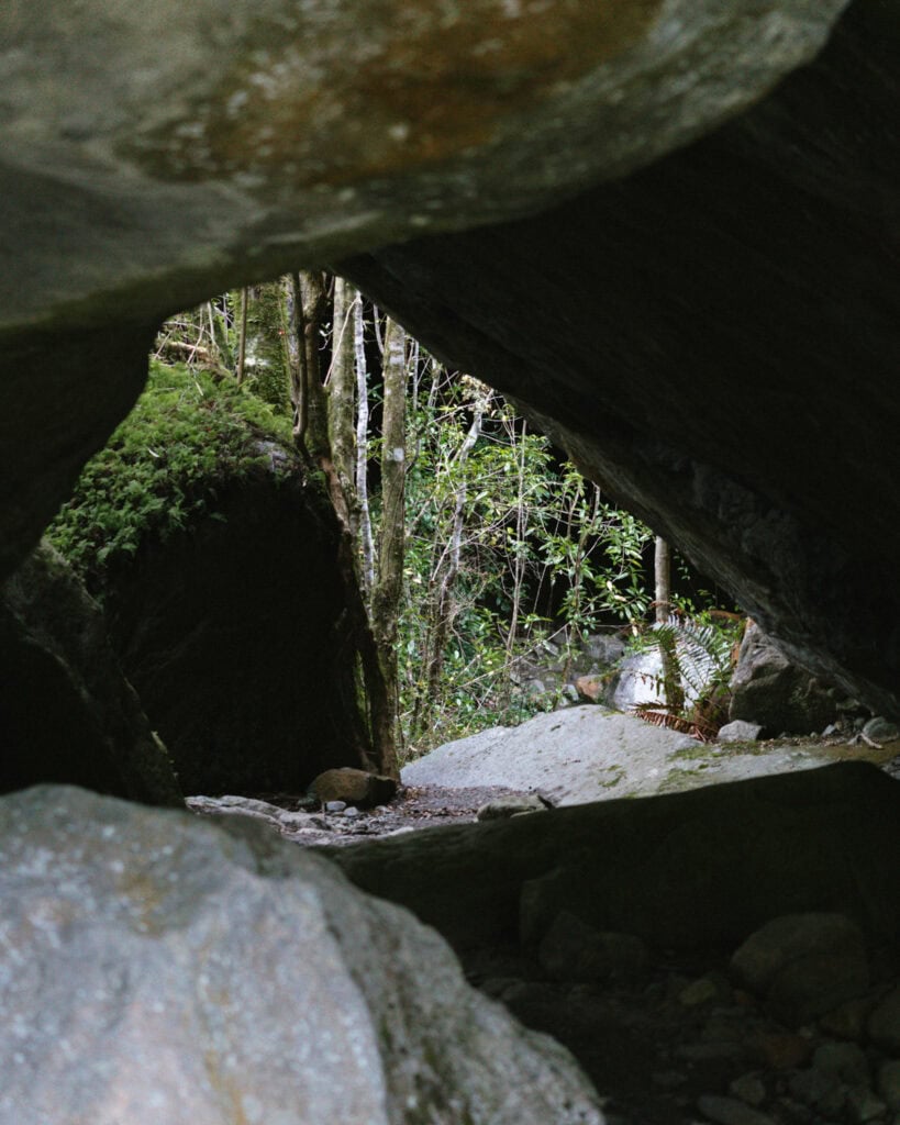
This interpretive trail starts in the same area as the other trails, but instead focuses on the river, forest and huge boulders.
There are several educational signs along the trail, and we were really interested to learn about why there are such gigantic rocks here!
I’ll spare you the details, and you can see for yourself when you arrive, but it was definitely worth doing this quick trail.
Sendero El Explorador
- 🥾 Trail type: out-and-back
- 📍 Trailhead location: Ventisquero Sector
- 🗺️ Trail map: N/A
- 📏 Distance: 1.5 km (0.9 mi)
- 📈 Elevation gain: N/A
- 🥵 Difficulty: easy
- ⏳ Duration: < 30 minutes each way
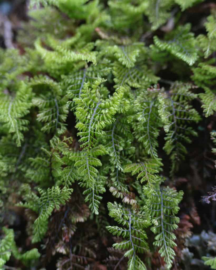
This trail is more for access purposes rather than any particular attraction, but it’s still quite nice through the forest.
If you have to park in the first car park near the ranger office, you’ll use this trail to get to the main section of the park, where all the other trails begin.
Angostura Sector
Situated 12 km (7.5 mi) north of Puyuhuapi, this sector’s primary attraction is the Sendero Laguna Los Pumas.
Sendero Laguna Los Pumas
- 🥾 Trail type: out-and-back
- 📍 Trailhead location: Angostura Sector
- 🗺️ Trail map: AllTrails
- 📏 Distance: 9.8 km (6 mi)
- 📈 Elevation gain: 948 m (3,110 ft)
- 🥵 Difficulty: hard
- ⏳ Duration: 5 – 6 hours
The Laguna Los Pumas trail looks very tough and, according to many, not really worth the effort if you’re hiking purely to reach the lagoon, not to enjoy the forest.
It starts north of Puyuhuapi on the side of the Carretera Austral, next to the beautiful Lago Risopatron. It climbs steeply through muddy, dense forest with the chance to see lots of bird species, foxes, and, if you are incredibly lucky, the elusive pudu deer. The trail ends at the Laguna Los Pumas.
If you want to experience the lush temperate rainforest that is symbolic of the park without the crowds, I think this would be a great option. But if you aren’t keen on a challenging hike without a glacier or anything like that as a reward, it might be a tough one!
There is a lot of conflicting information on whether the trail is currently open or closed, so I can’t confirm. I’m sorry! I think it shuts outside of the peak summer season, as it is very wet and muddy, and often has snow cover on the upper reaches of the trail. What I do know is that if you want to hike it, you must start prior to 12:00 pm.
Hiking boots, hiking poles, wet weather gear and LOTS of water are a must for this trail.
Portezuelo Sector
This sector is the area south of the Ventisquero Colgante.
Bosque Encantado [CLOSED]
You may see a reference online to a trail called the Sendero Bosque Encantado (Enchanted Forest Trail). This trail is closed due to a landslide and has been closed for quite some time, unfortunately, with no public plans to repair and reopen it.
Salto Padre Garcia
This waterfall is at the northern end of the Cuesta Queulat, a series of tight, narrow curves in a particularly bumpy, unpaved part of the Carretera Austral.
We actually missed the pullout as it snuck up on us coming from the south, and we couldn’t safely turn around anywhere. There is a narrow shoulder to park on, on the right side if you’re coming from the south, as we were.
There is a short trail of a few hundred metres leading to a wooden platform overlooking this gorgeous waterfall tumbling into a blue pool.
Entry is free.
Salto El Condor
This waterfall has a more obvious pullout on the left side of the road if you’re coming from the south.
It’s a quick stroll through a winding, mostly flat trail that ends up in a rocky riverbed downstream from the waterfall.
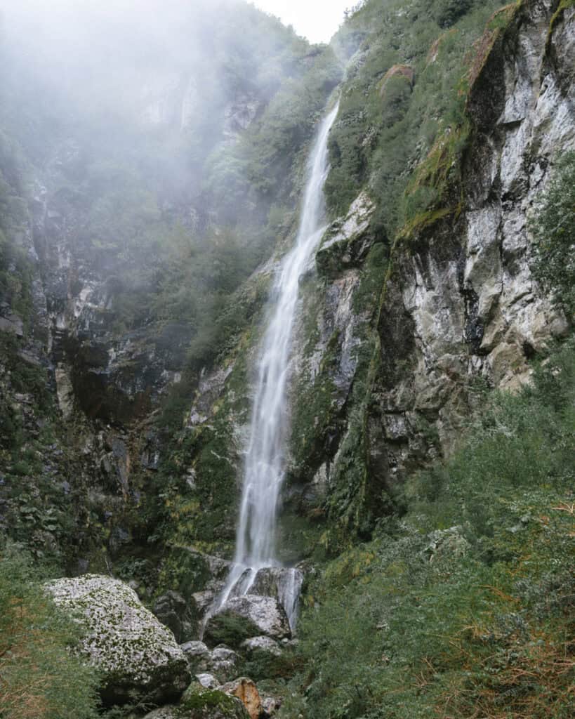
The waterfall was absolutely INCREDIBLE! Standing at the base and feeling the spray, with a sea of ferns all around, and moss dripping from the canyon, I loved it.
Entry is free.
Wildlife to look out for
Parque Nacional Queulat is better known for its forest and flora than wildlife.
That doesn’t mean there isn’t any wildlife here, it’s just not as common to spot a lot of animals.
You will definitely spot a few different species of birds, including woodpeckers, kingfishers and the iconic chucao and hued hued.
If you’re lucky, you might see foxes, otters and even the very elusive and adorable pudu. The smallest deer in the world, the pudu is native to the Valdivian temperate forests of Chile.
What to bring
This is our go-to day-hike packing list for Patagonia.
We amend it slightly depending on the trail distance and terrain, and weather conditions, but as a base, this is everything we think about before a long day hike. Never forget that the weather in Patagonia can change on a dime, so even if you set out hiking in sunshine, you need extra layers for wet or freezing conditions.
Queulat National Park is wet most of the year, so come prepared for mud and rain.
- 💦 Water bottles x 2 per person
- 🫧 Electrolyte sachets
- 🍭 Lollies
- 🥪 Lunch or snacks
- 🍴 Reusable cutlery kit (if required for food)
- ♨️ Thermos with hot water
- ☕️ Reusable coffee cup
- 🫖 Tea or coffee bags
- 🥾 Hiking poles
- 👀 Binoculars
- 🔦 Head torches
- 🧢 Hat
- 😎 Sunglasses
- 🧴 Sunscreen (reef-friendly)
- 🦟 Insect repellent (natural)
- 🧥 Rain coat and pants
- ☔️ Dry bags and/or waterproof bag cover
- 🧣 Gloves, scarf/buff and beanie
- 🥶 Extra warm layers
- 🧦 Spare pair of socks
- 🩳 Shorts to change into if warm
- 🧖🏽♀️ Towel (if swimming)
- 👙 Bathers (if swimming)
- 🩹 Mini first aid kit and medicines
- 🧻 Tissues and/or toilet paper
- 🚽 SheWee
- 📱 Charged phone with trail map downloaded offline
- 📷 Camera with spare batteries and memory card
- 📚 Ereader
- 🔌 Powerbank and phone cord
Planning a trip to Puyuhuapi
Queulat National Park is right near the town of Puyuhuapi. If you’re planning a trip to Puyuhuapi or the Carretera Austral more broadly, don’t forget to read our Puyuhuapi travel guide too. It covers all the important info you need to know about the town, like getting there, getting around, the best places to eat, where to stay and other handy tips to get your bearings.
🌿 Everything you need to know about Puyuhuapi
Final thoughts: Queulat National Park
Unfortunately, our visit fell right in the middle of the trail closures, so we didn’t get to have the full experience at Parque Nacional Queulat.
From what we saw, I know hiking the trail to the mirador would be an amazing activity, and possibly one of the best hikes along the Carretera Austral.
There’s just something about the combination of blue ice, thundering waterfalls and achingly green forest that captivates humans, and even from a distance, this scene was jaw-dropping.
We were shocked at the change in flora, and we absolutely loved being amongst the wet, temperate rainforest. It reminded us of home in Australia and was an entirely different landscape from anything we’d seen so far in Patagonia.
I hope now that the Queulat National Park has reopened, it is better than ever, and you get to ride the boat to the base of the waterfall in Laguna Tempanos and hike the Mirador Ventisquero Colgante (La Morrena) for an up-close view of this icy wonder.
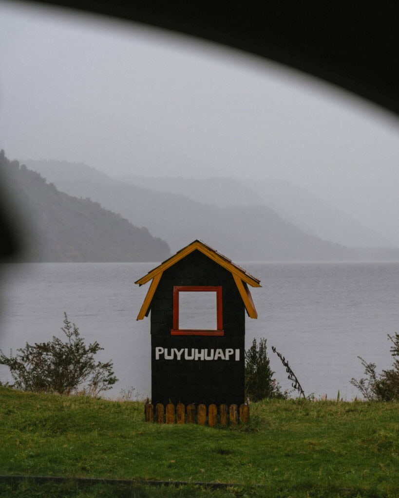
Don’t forget to check out our Puyuhuapi guide, the jump-off point for the park and a very lovely waterfront town on the Puyuhuapi Fjord.
MORE PUYUHUAPI POSTS