This article contains affiliate links that may earn me a small commission at no extra cost to you. As an Amazon Associate, I earn from qualifying purchases. For more information, see our affiliate disclaimer.
Chaiten was one of the best stops during our road trip along the Carretera Austral in Chilean Patagonia.
This little town has an interesting and humbling history, after the Chaiten Volcano erupted unexpectedly in 2008. It covered the town in a thick layer of ash and sediment, and the river full of mud and rock burst, splitting the town in two.
The government wanted all 5,000 residents to leave and relocate, but they fought to return and rebuild their town, and Chaiten lives on today, in its original location.
The town is the perfect jump-off point for Pumalin National Park. A sea of temperate rainforest full of waterfalls, gigantic Alerce trees and the opportunity to hike up the still-active volcano. Its seaside location made for some stunning sunsets, and it’s not uncommon to watch dolphins and sea lions splashing offshore.
Chaiten has so much to see and do, with the perfect combination of landscapes and a town with enough amenities to keep simple travellers happy.
Here’s everything you need to know about Chaiten, including things to do, where to stay and eat, how to get there and around, and amenities in town.
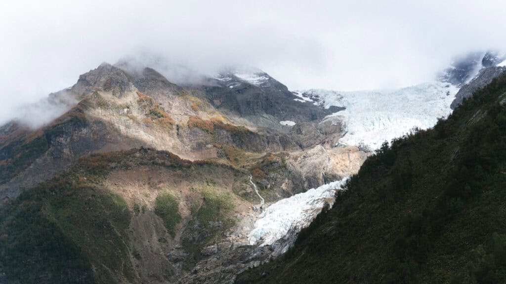
About Chaiten
Chaiten has a story like no other town on the Carretera Austral.
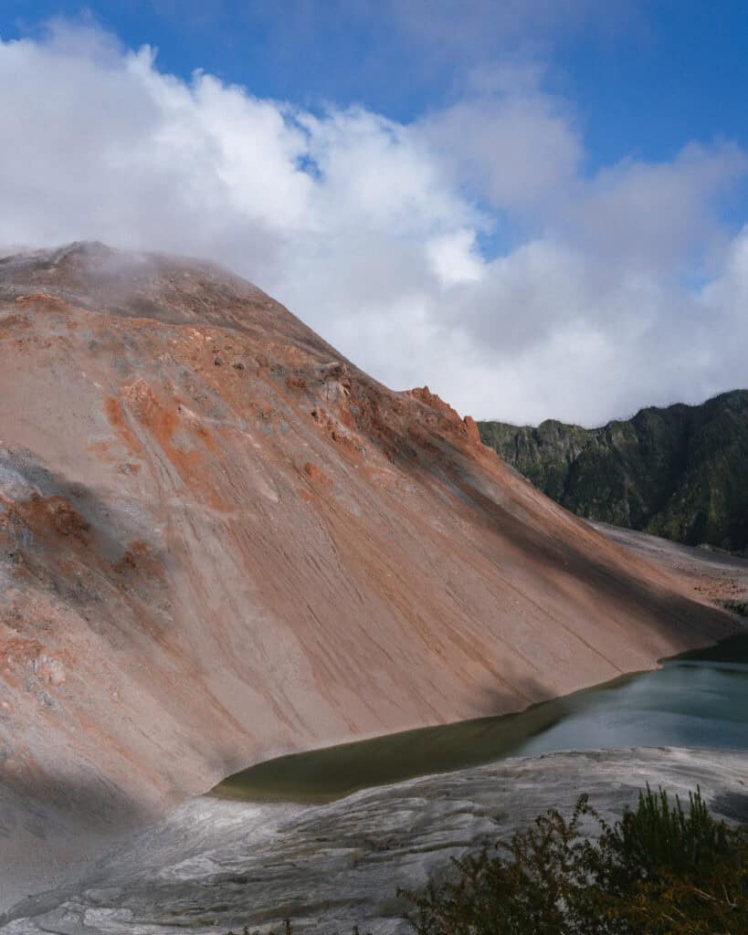
In May 2008, the Chaiten Volcano, thought to have been dormant for over 9,000 years, erupted violently and unexpectedly. Ash plumes rose almost 20 kilometres into the sky, blanketing the region and forcing the evacuation of all 5,000 residents.
A couple of days later, an untimely rain created torrential lahars (mud and rock flows), causing the Rio Blanco to burst its banks and carve a new channel straight through town, destroying basically all homes and infrastructure.
At first, the government declared Chaiten uninhabitable and encouraged residents to relocate permanently. But the locals wouldn’t have a word of it, and fought to be allowed to return to their town, determined to rebuild their community.
Today, Chaiten is a buzzing little town. They haven’t entirely erased evidence of the tragedy, and you can still find partially destroyed old buildings, dead trees and a huge divide in the middle of the town, essentially creating a north and a south Chaiten.
Life has continued to move on here, and the surrounding Pumalin National Park is one of the best in all of Patagonia. The opportunity to hike up to the crater of the still active, but supposedly sleeping, Volcan Chaiten is even more special after seeing the impact this untamed feat of nature had on the town.
We really liked Chaiten, and it was one of our longest stops on the Carretera Austral. There is a lot to see and do here, and we hit as many trails as possible in the national park.
🛻 Chaiten was one stop on our road trip along the Carretera Austral in Chilean Patagonia. Don’t forget to browse all our posts about the Carretera Austral, or if you want to skip the multiple tabs and scribbling notes from my blog, I’ve got you covered with my Carretera Austral Road Trip Handbook. A 365-page eBook compiling everything I know about the highway into one beautifully designed place, available offline in your pocket while you’re on the carreterra!

PLANNING YOUR CARRETERA AUSTRAL ROAD TRIP CAN BE CONFUSING… I KNOW, I’VE BEEN THERE!
I spent months planning our Carretera Austral road trip – jumping between tabs, scribbling notes, and trying to remember ferry times. It’s a confusing region, and it’s easy to get it wrong!
That’s why I created the Carretera Austral Road Trip Handbook: all the info you need in one beautifully designed guide, available offline while you’re on the highway. Pair it with our Custom Google Map (500+ pins!), and you’ll have a clear, stress-free plan for the road trip of a lifetime – before you leave and while you’re on the highway.
Chaiten map

How to get to Chaiten
- 🚗 By car: if you’re driving north along the Carretera Austral as we were, getting to Chaiten is still a relatively easy drive, with no ferries required. It’s about 2.5 hours from Puyuhuapi, and you must stop for a lovely hike at Ventisquero Yelcho along the way! The scenery, as always, is mind-boggling, and there were plenty of glaciers and lakes on this stretch of the highway.
If you’re travelling the highway south, you’ll encounter the second mandatory Carretera Austral ferry. You must drive your car onto the ferry to get to Chaiten from its nearest neighbour, Hornopiren. The Carretera Austral stops in Hornopiren and resumes in Caleta Gonzalo, with a ferry being the only continuation of the highway.
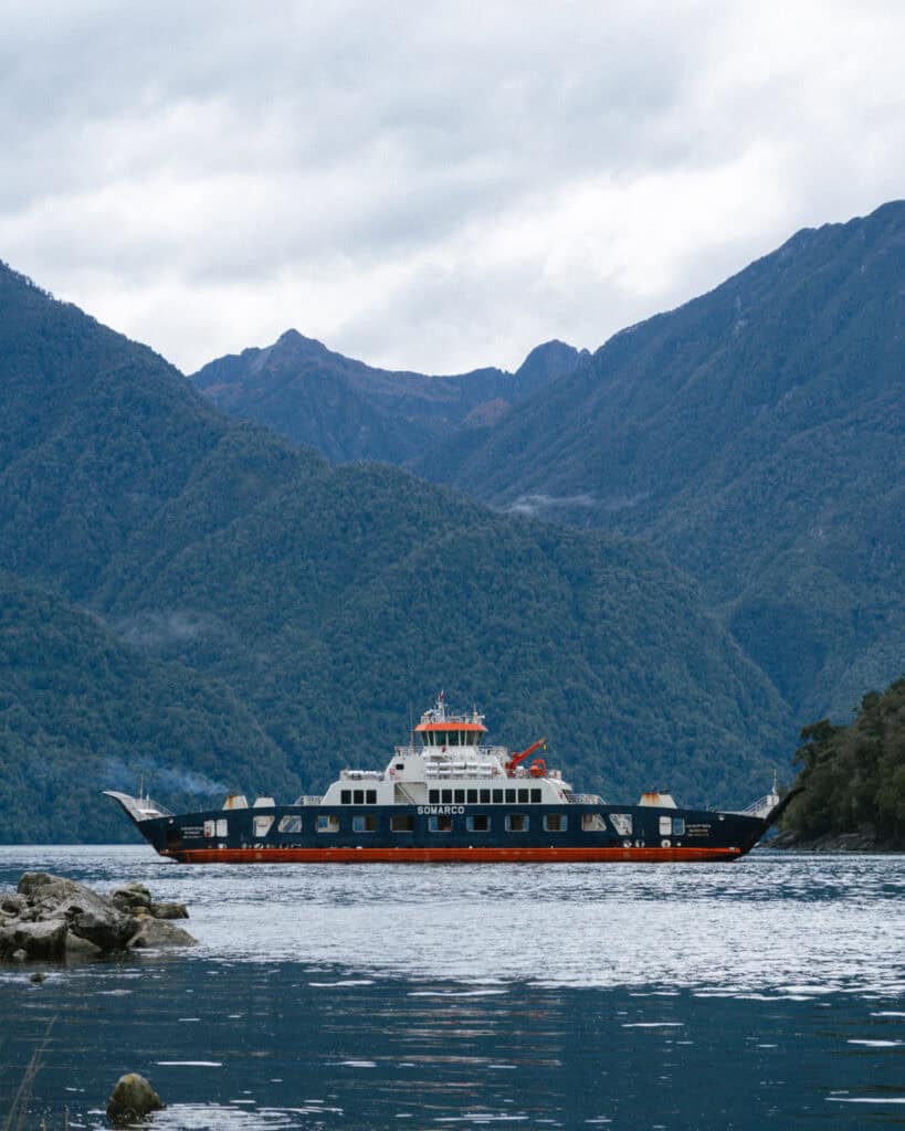
The ferry route is Hornopiren to Caleta Gonzalo and is operated by SOMARCO. You must book this route online in advance. Their website is user-friendly and shows live availability. It runs year-round, every day.
This route is booked as one trip, but it actually involves two ferries and a short drive in the middle.
You’ll board the ferry in Hornopiren for a 3 – 4 hour journey across the Leptutu Fjord. The boat docks in Leptutu, where you will drive in a convoy for around 15 minutes across a narrow finger of forested land to the next dock, Fiordo Largo. From there, you’ll board a second boat for a ~45-minute trip to Caleta Gonzalo. The highway resumes from here, and it’s just over an hour’s drive to Chaiten.
There are a couple of other boat options to get to Chaiten, but I’ve put them in a separate section below, as they are not the classic route following the highway in its entirety.
📍 I’ve pinned lots of miradors and scenic stops en route to Chaiten from Puyuhuapi (south) or Hornopiren (north) on my Carretera Austral map
- 🚌 By bus: there are buses to Chaiten from Coyhaique and Puyuhuapi in the south. Both of these services only run a few days a week. There is also a daily service from Futalefu.
If you’re coming from the north, there are buses from Puerto Montt (via Hornopiren) that use the SOMARCA ferry that I mentioned above. If you’re coming directly from Puerto Montt and don’t want to stop in Hornopiren, then you should consider the direct ferry that I’ve outlined below.
There isn’t a formal bus terminal in town, as such. The buses stop on the highway, which runs straight through town along the waterfront around this location.
This is the best website I’ve found for bus information along the Carretera Austral. I’d recommend contacting the transport companies directly to confirm, as public transport in this region of Chile is unreliable and changes seasonally.
- ⛴️ By boat: in addition to the Hornopiren – Caleta Gonzalo route I described above, there are a few other ferry services to Chaiten.
The first is the Naviera Austral route from Puerto Montt. If you’re starting your Carretera Austral trip in Puerto Montt, and for whatever reason you are short on time, you can choose to bypass Hornopiren and travel directly to Chaiten via boat. It accepts car and foot passengers. The journey takes around 9 – 11 hours, and they usually run the route overnight.
If you don’t plan to spend any time in or around Hornopiren, this is the best option and saves a fair bit of driving.
There are also ferry options from Chiloe Island. Naviera Austral has a route from both Quellon and Castro. The Quellon route is not available year-round, and the Castro service has limited departures each week. You can read more in my Carretera Austral ferries post.
How to get around in Chaiten
The easiest way to get around Chaiten is with your own vehicle, whether that’s a car or a bike.
Like everywhere on the Carretera Austral, the attractions are spread far and wide here, and Pumalin National Park spans north and south of the town, with different trailheads dotted all over the place.
If you’ve got a car, you can do anything.
If you don’t, it’s a little trickier to plan your time here. The town is walkable, and as you’ll see below, there are a few attractions within walking distance. But you’ll really need to work out transport to get to the different hikes in the park.
You can make use of the long-distance buses heading out of Chaiten, but these don’t always align perfectly with the trailheads. Most people without a car need to use a combination of buses, hitchhiking and walking to make it work. I’ve got more details about getting to and around the park in my Pumalin National Park guide.
Alternatively, you can use local tour companies and take guided tours to different sectors of the park. This is more costly but will remove any stress. Green Patagonia and Chaitur are both well-known and well-rated options.
I have also read that some of the hostels and campgrounds in town, such as Trekanpangui, offer shuttles to and from different parts of the park. I can’t confirm any details, but ask around in town when you arrive.
It’s also worth asking the tour companies if they would allow you to use their transport as a shuttle, rather than a guided tour, if you want to explore independently.
Where to stay in Chaiten
🏨 ACCOMMODATION
There’s a nice variety of accommodation options around Chaiten.
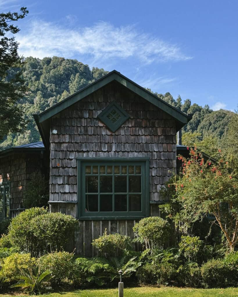
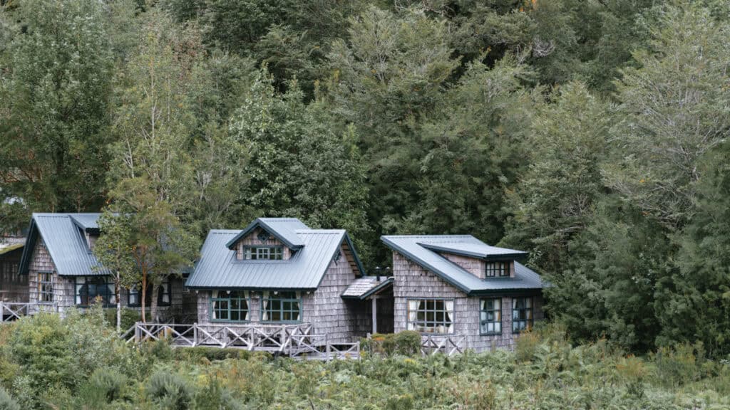
If you’ve got a vehicle, I’d recommend looking into some of the more remote options. The lodge inside the Pumalin National Park offers a unique nature experience, and there are a handful of other lovely cabañas scattered around the area.
- 💰 Verdeagua Hostal
- 💰 Hospedaje La Madre
- 💰💰 Chucao Bosque y Cabañas
- 💰💰 Posada de Expediciones Kahuel
- 💰💰💰 Lodge Caleta Gonzalo
- 💰💰💰 Cabañas Parque Michimahuida
🏕️ CAMPING
There are lots of free and paid camping options in Chaiten town and the surrounding areas if you’re camping on the Carretera Austral.
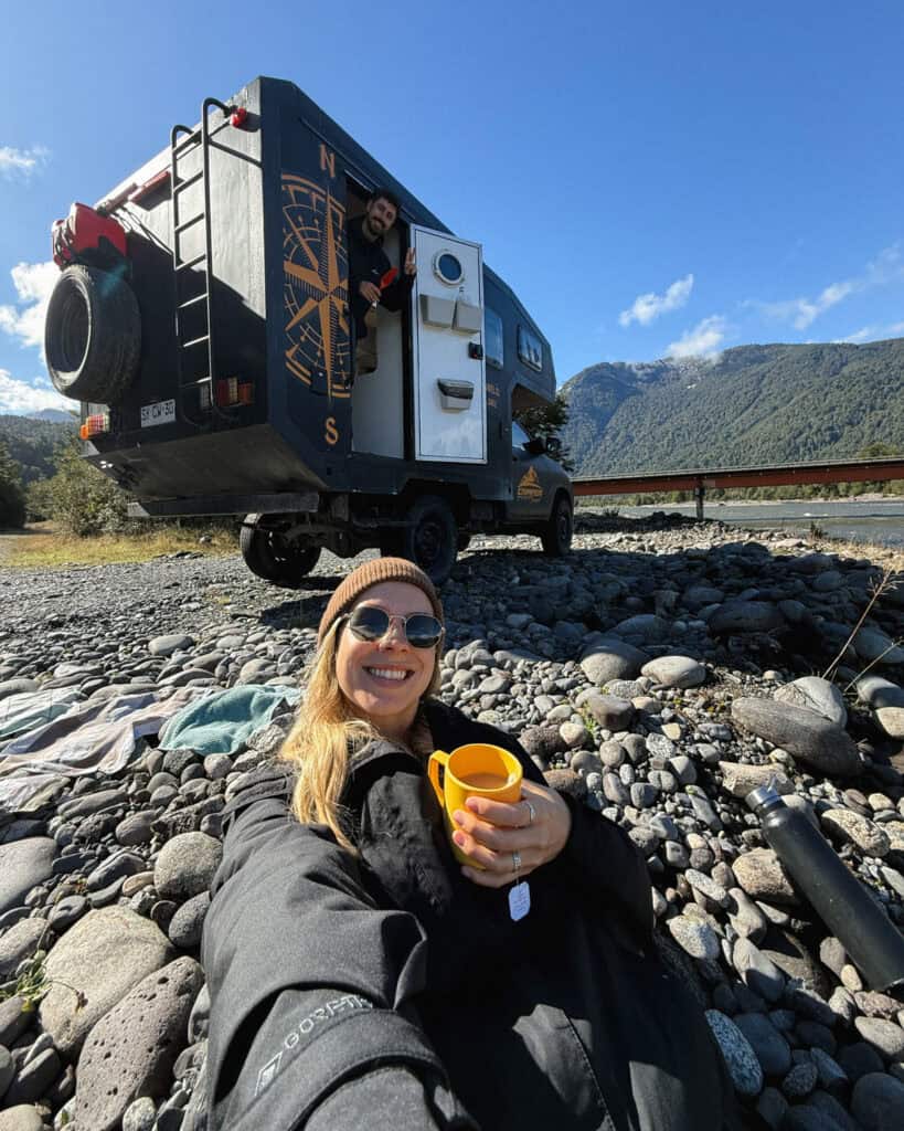
We were in our self-contained Camper Travel Chile camper, and we loved free camping right on the beach around here. I’ve since read recent reviews that the police have (nicely) moved people away from the beach/river, towards the truckers’ rest stop car park. It’s in the same area, you drive via the car park to get to the spots closer to the river, but you may have to stick around there instead. Read the latest iOverlander reviews.
If you want more amenities in Chaiten, there are a few campgrounds in town, of varying quality. Most are located in people’s backyards, but if you want the convenience of being in town and walking distance with amenities, then they do the job! Camping La Carretera is one of the better-rated options.
If you don’t care about the town and are in the area purely for Pumalin National Park, there are seven campsites around the park. They have a limited opening season, and facilities are basic. I’ve got more details in my Pumalin National Park guide.
We had read it was really nice to free camp on the beach at Playa Santa Barbara, a short drive north of Chaiten. There are now no camping and no overnight stay signs all over the beach, as unfortunately, some idiots wrecked it for everyone by emptying their blackwater tanks here. If you want to stay near this beach, try Natour Camping it looks excellent.
Things to do in Chaiten
1. Parque Nacional Pumalin
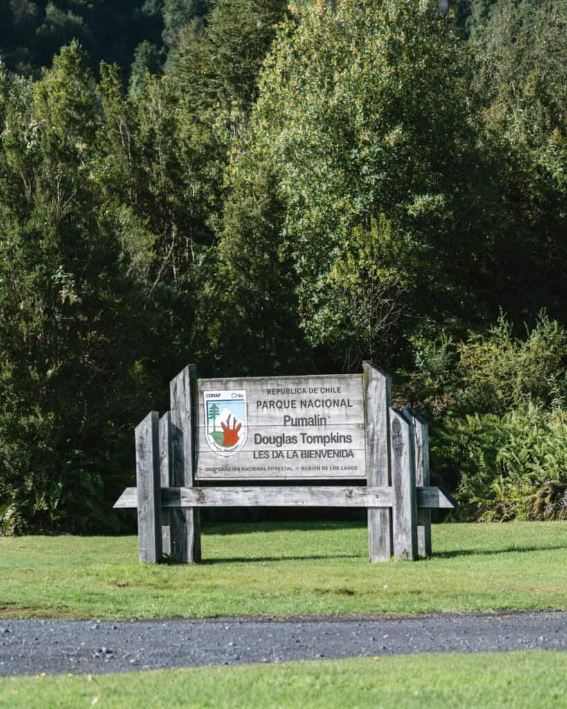
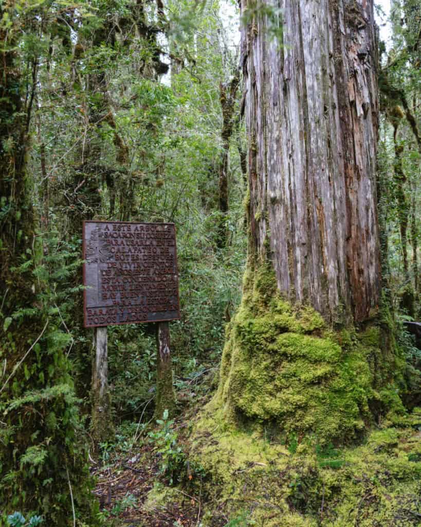
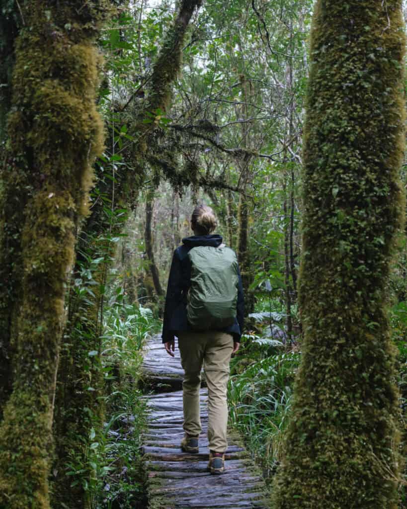
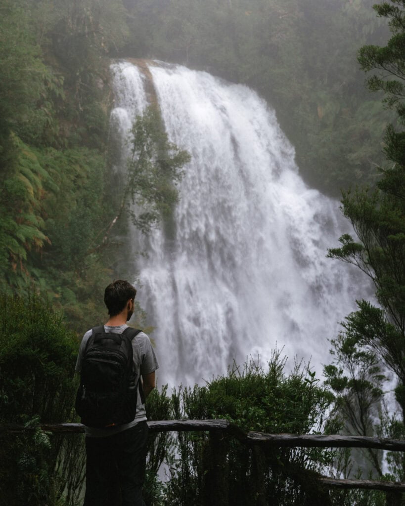
The Pumalin National Park is the reason to come to Chaiten! Spanning both north and south of the town, this national park protects a vast area of fairytale Valdivian forest, waterfalls, volcanoes and glaciers.
Created thanks to a massive land donation by the Tompkins family, who have been instrumental in creating many parks in this area of Patagonia, including the Patagonia National Park.
Pumalin is one of the only free national parks in the region. I’m always happy to pay for national parks, but it just made our experience here even sweeter. This was definitely one of the most beautiful, well kept and diverse national parks we visited along the Carretera Austral.
It is divided into multiple sectors, with many different trails to hike.
Planning a visit here can be a little confusing, given all the different areas and trailheads spread far and wide, especially if you don’t have a car. I’ve got a detailed guide to Pumalin National Park with all the logistics to plan your visit.
To get you started, here are a few of the must-do hikes in the park:
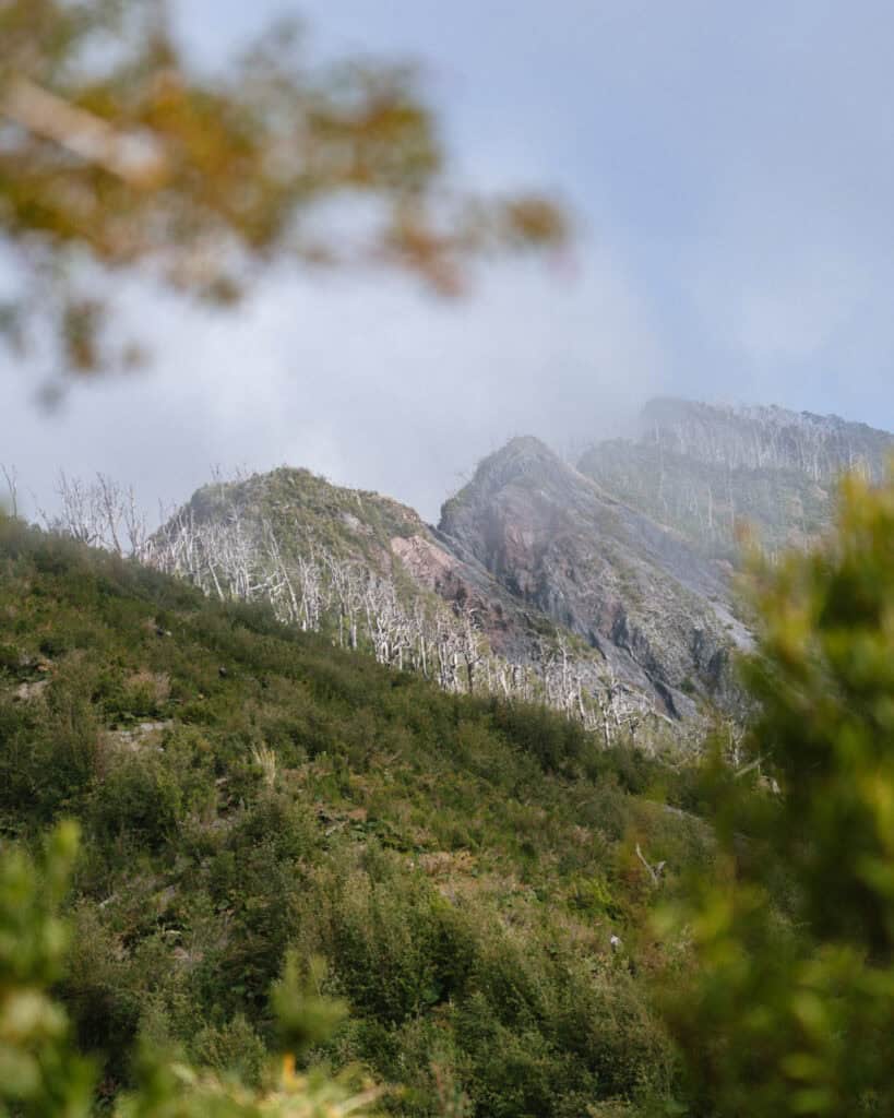
- 🌋 Volcan Chaiten: perhaps the most popular thing to do in Chaitén, hiking to the steaming crater of the volcano that changed this town forever is a humbling experience. Most of the trail winds through lush, green forest, which feels entirely at odds with the desolate graveyard of trees and volcanic rock awaiting you at the steaming summit.
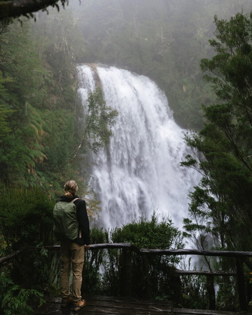
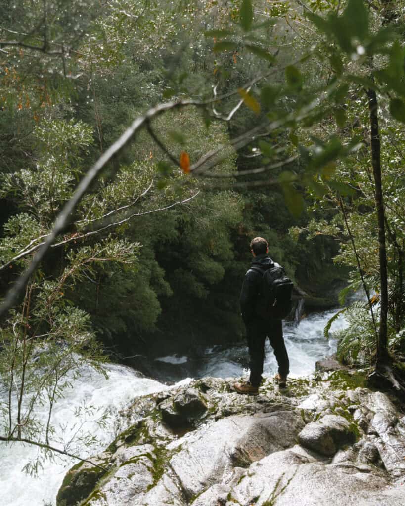
- 💦 Cascadas Escondidas: a pair of waterfalls buried deep inside a moist temperate rainforest, this was like a fairytale. The trail is wet, muddy and slippery, but the waterfalls literally took our breath away.
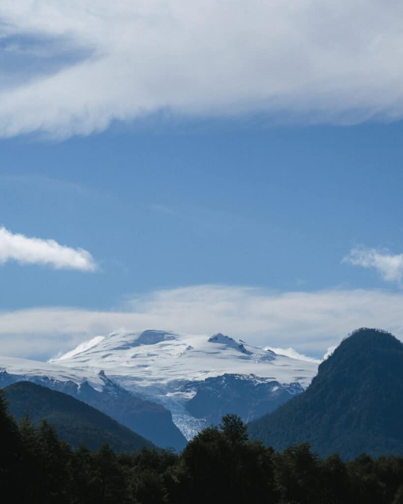
- 🧊 Glaciar Michinmahuida: also known as Glaciar Amarillo, there are two options for seeing this imposing glacier in the southern, El Amarillo Sector of the park. The shorter mirador trail is a 6.8 km (4.2 mi) loop, but there is a much tougher trail that gets you up close to the glacier, a tough 20 km+ (12.4 mi+) out-and-back slog, depending on where you start.
🌿 Read our complete guide to the Pumalin National Park
2. Explore Chaiten town
While the Pumalin National Park is the biggest drawcard in Chaiten, don’t forget to spend some time exploring the town itself!
It’s hardly big, but it was one of the larger towns we visited along the Carretera Austral.
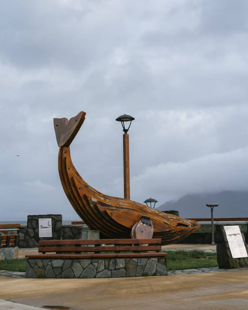
There is a lovely malecon area along the coast, featuring a large wooden whale statue.
The eruption impacted Chaiten’s coastline. When the Rio Blanco overflowed and carved its new channel through the centre of Chaitén, it carried enormous volumes of volcanic ash and debris into the bay. This created new sediment deposits that effectively pushed the shoreline outwards, so the oceanfront sits further from town than it did before the eruption.
While you can see the water from the malecon in town, it’s miles away, and it took us a while to realise this is why! You can go for a nice walk through the extended foreshore. We saw wild/free range horses in here when we visited and lots of birdlife.
Make sure you’re around here for sunset! Having a beer and watching the sun go down at the end of a great day of hiking was one of our favourite memories of Chaiten.
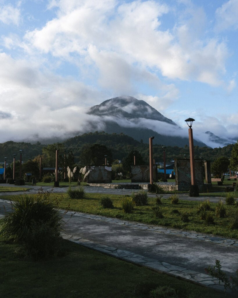
Away from the coast, there is a lovely little square, Plaza de Chaiten, which is backed by gorgeous mountain views. There were cute dogs ALL OVER the town, which I loved, so just wander around and pat whatever cutie you can find.
There are a few other activities you can easily do on foot, from town:
- 🌋 Museo de Sitio de Chaiten: a small museum dedicated to showcasing the story of the eruption, from both a geological perspective and the human story of what this town has endured. It’s small but well worth a visit, entry is free.
- 👀 Mirador de Chaiten: a short walk along a forested path just to the north of town. It’s not the most beautiful hike you’ll do in the area, but it gives you a nice elevated view over the rebuilt town.
- 💦 Cascada Chai Chai: approximately 2 km walk from town is this nice, free waterfall. It’s not quite as spectacular as some of the ones you’ll find in Pumalin Park, but it’s easily accessible without a car.
- 🌋 Look for Volcan Corcovado: on a clear day, you get an excellent view of the jagged, snow-capped peak of Volcan Corcovado to the south of town. It is very imposing, and I saw so many photos of soft, fairyfloss skies with this gigantic, triangular peak in the background. Unfortunately, we were not lucky enough to see it over our three days in Chaiten, despite having sunny weather. It wasn’t clear enough! Apparently, the best view is from the old pier just north of town. There is a path here along the waterfront.
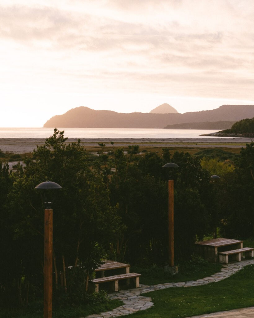
3. Hang out at Playa Santa Barbara
A 15-minute drive north of town is the small settlement and beach of Santa Barbara.
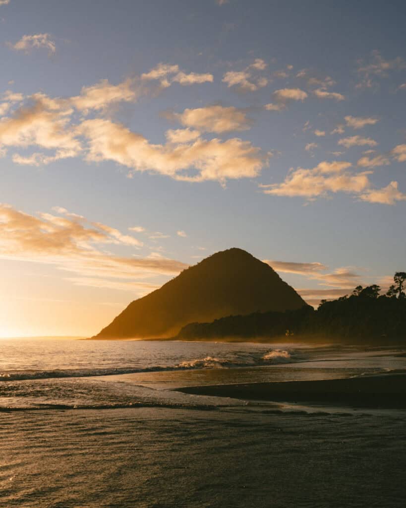
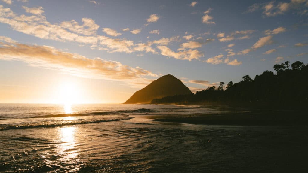
This is one of the most beautiful beaches we saw in all of Chile. It has black sand, a stunning backdrop of mountains and lush green forest.
The beach didn’t suffer the same fate as Chaiten and wasn’t impacted by the eruption, so you can park right on the foreshore and easily wander along the sand with your feet in the water.
The beach is split in two by a rocky headland. The southern stretch is smaller, but to the north, you can walk for miles along the black sand.
This is the perfect spot to watch the sunset, and we had a beautiful afternoon with a bottle of wine, spotting dolphins (toninas, the tiny black and white Patagonian dolphins!) playing offshore and watching the sky light up.
Apparently, there are also sea lions around here. We didn’t spot any, but you can take a kayak tour with a local company, Natour and paddle out to the colony.
4. Soak in hot springs
Given the area’s volcanic activity, there are hot springs all over the northern part of the Carrertera Austral.
The closest springs to Chaiten are the Termas El Amarillo south of town, near the southern sector of Pumalin National Park.
These springs get good reviews, but we drove past, and it looked more like a public swimming pool than an atmospheric natural spring.
If you’re just visiting Chaiten and you’ve got low expectations, go for it. It would be a nice way to spend a rainy day. The pools have positive reviews, and I’m sure there’s nothing wrong with them!
But if you’re doing any extended travels on the Carretera Austral, I’d save your hot springs experience for elsewhere. Termas El Sauce between Chaiten and Puyuhuapi, Termas Ventisquero in Puyuhuapi or Termas de Pichicolo in Hornopiren are all much more scenic options.

5. Hike Ventisquero Yelcho
Under an hour south of Chaiten is the Corcovado National Park, home to the Corcovado Volcano I mentioned earlier.
Most of this park is wild and inaccessible, with very few visitor amenities. The only exception to that is the Ventisquero Yelcho hike.
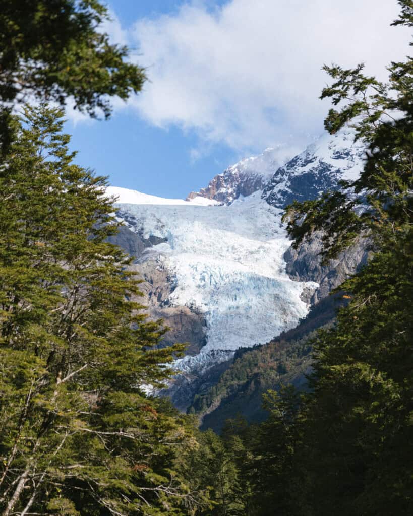
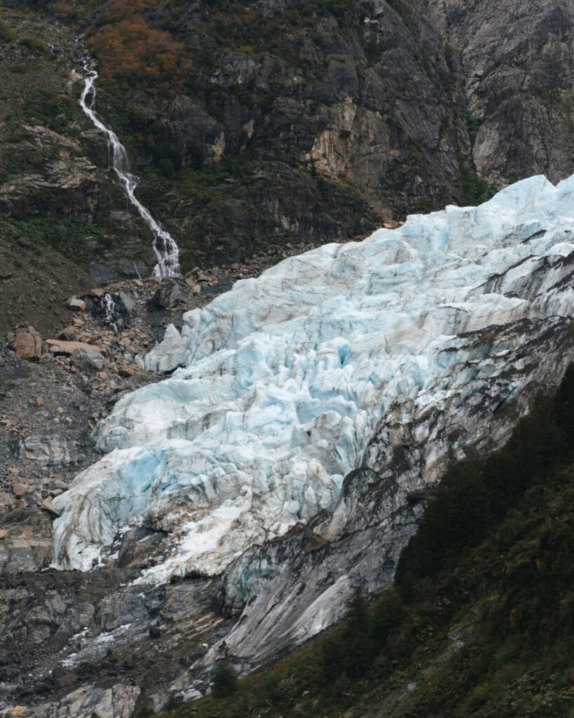
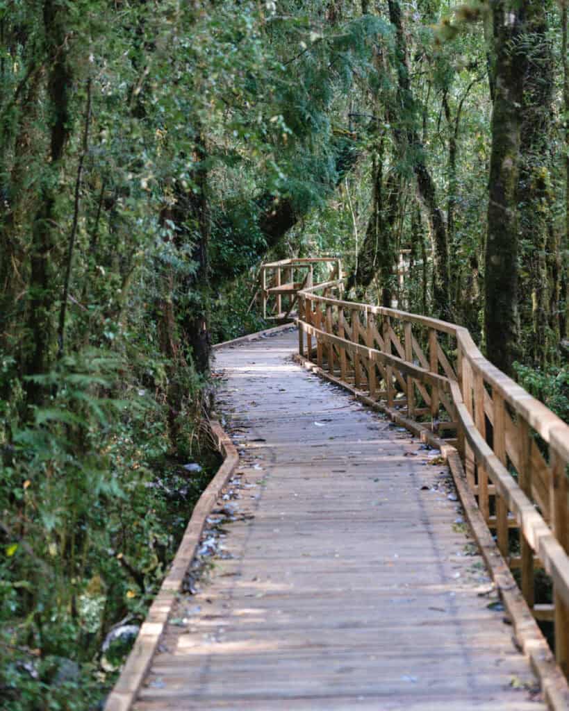
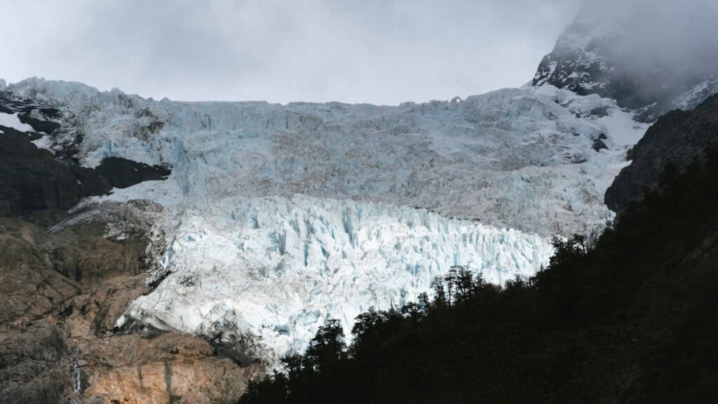
Inconspicuously located on the side of the Carretera Austral, this 6.1 km (3.8 mi) out-and-back trail was one of our favourites in the region. It is FLAT and FREE, offering a gentle walk through an enchanted forest to a viewing platform overlooking the Yelcho Glacier.
It’s not quite as impressive as the Hanging Glacier in Queulat National Park but it’s a lot cheaper, easier and quieter!
I highly recommend this hike. If you’re continuing your travels south, you can do this when you depart Chaiten, or vice versa if you’re travelling north.
If you’re just staying in Chaiten, I still think it’s worth the trip for a day. Like everywhere along this highway, the scenery on the drive here is stunning, and you can combine this with one of the shorter hikes in the El Amarillo Sector of Pumalin National Park, while you’re south of town.
If you don’t have a car, Green Patagonia Travel offers a tour here.
🌿 Read my complete guide to the Ventisquero Yelcho hike for all the details
Where to eat in Chaiten
Chaiten has a decent range of restaurants for such a small town!
A lot of them close for the off-season, and unfortunately, by the time we rolled into town in late April, many were already shut down for the season.
I think even at the busiest of times, opening hours are loose, and Google Maps should not be trusted. Brayden had his heart broken three consecutive days when trying the empanada shop, which, according to Google, was open!
- 🥟 Cocineria Empanadas Doña Irina: a little hole-in-the-wall selling allegedly the best empanadas in town! She wasn’t open on any of the days we were there, but Brayden was desperate to try her famous seafood empanadas. Let me know if you’re able to visit.
- 🍛 Cocineria El Paso: a cosy local restaurant that’s like eating at your Grandma’s house. Located in the family home of Doña Maria, she offers hearty, home-cooked food. The menu varies daily, but for around $11,000 CLP, you get one of the main meal options for the day, which will include a bread and salad starter and dessert.
- 🥐 La Panera Bakery & Coffee: freshly baked breads, delish pastries and sweets and espresso coffee. Need I say more?
- 🍕 La Pizzeria Chaitén: a solid, reliable option that seems to stay open for most of the year. Good pizzas, burger options too, and they shake up some tasty cocktails. The calafate sour is delish.
- 🍗 Slow Food “La Garza Cocina Chaiten”: this hole-in-the-wall serves up very tasty pizzas cooked in a roaring wood-fired oven. But also a range of main course meals that are way fancier than you’d expect! Using only fresh local ingredients, they have some very interesting dishes presented in the style of a fine dining restaurant! My latest check shows that they have rebranded to “La Garza Sushi Nikkei”, which tells me that they are doing sushi, but I don’t know about the other dishes. It’s still excellently rated.
- ☕️ Papa Bongo: solid coffee option. They also have sweets and pastries, and light bites like sandwiches.
📍 All of these restaurants are pinned on my Carretera Austral custom map

Things to know before visiting Chaiten
- 🌤️ Best time to visit: like all of Patagonia, the best time to visit Chaiten is generally in the warmer months between October – April. Although you should expect wild weather at any time of the year, with rain, wind, snow and sun always possible – this is Patagonia after all!
Chaiten and other neighbouring towns on the northern section of the Carretera Austral have much wetter climates, so you should prepare for rain year-round.
Given that Chaiten has a pretty direct access to the rest of Chile via Puerto Montt, it can be quite popular and busy during the peak summer season. More notably so than the towns in the southern part of the highway. The attractions and trails are spread across a vast area of Pumalin National Park, which keeps people dispersed, but do be prepared for the town to feel busy.
- 🗓️ How long to stay: there is quite a lot to see and do around Chaiten. There are many hikes in the Pumalin National Park, as well as beach and water activities. If you want to see and do it all, I’d suggest at least 3 nights here, if not longer.
- ⚠️ Safety: we felt completely safe in Chaiten, as we did everywhere on the Carretera Austral. These towns are incredibly welcoming, and people are very friendly.
- 🗣️ Language: Spanish is the official language in Chile, and there is barely any English spoken in the remote towns of the Carretera Austral. Chilean Spanish is notoriously hard to understand, so even if you’ve got a decent level of Spanish, be prepared to struggle with their unique vocabulary, fast speaking and mumbling!
- 💰 Currency: the currency in Chile is the Chilean Peso (CLP). While in some more touristy areas of the country, US Dollars are occasionally accepted for tourist activities, this isn’t the case in Chaiten.
- 💧 Can you drink the water: tap water is safe to drink in most parts of Chilean Patagonia, but I’m actually not 100% sure if Chaiten is an exception to this. Given the eruption and disturbance to the town’s water supply, I don’t know if the water is safe for drinking these days. We had filtered water in our camper anyway, so I’m not sure what the taps are like. Check with your accommodation before drinking.
Amenities in Chaiten
- 🛒 Supermarkets: Chaiten had a pretty decent-sized supermarket. We were able to cobble together a few decent meals here, with some fresh produce available, meat, fresh bread and alcohol. We thought Supermercado Edón was the biggest and best option by far.
- 🏧 ATMs: there is one ATM in Chaiten and luckily, it is the best one, BancoEstado. This is the best bank to use in Chile with a foreign card, as you can withdraw the highest amount of cash (~ 400,000 pesos) to make the most of the expensive Chilean ATM fees. The withdrawal fee is about 5,000 pesos (~$5 USD).
- 💳 Card or cash payments: we were able to pay with card at most places in Chaiten (supermarket and restaurants). As always on the Carretera Austral, you should always be prepared with cash in case places don’t accept card, or the machine is not working.
- ⛽️ Petrol stations: there is a big COPEC in town right on the waterfront. It sells all types of fuel (unleaded and diesel). The prices here were on par with other smaller towns along the highway.
- 📱 Phone service and wifi: we had pretty decent 4G, sometimes 5G, service with Movistar in Chaiten (the town, not the park).
I believe Entel also has service and is considered the best provider for this area, however, due to new laws that came into effect in February 2025 banning foreigners from registering SIM cards in Chile, it’s near impossible to get an Entel SIM as a tourist. We had no problem buying a Movistar one; I think they did some quick thinking to find a workaround, but Entel repeatedly told us in multiple stores it was not possible.
Save hours planning your Carretera Austral road trip with our Handbook + Custom Map

Final thoughts: Chaiten travel guide
I really, really loved Chaiten. The town wasn’t necessarily cute or charming, but its location right on the waterfront, with beautiful sunsets and a view of the Corcovado Volcano (if you’re lucky!), was gorgeous. It was a favourite on our Carretera Austral road trip.
The town’s story of resilience and recovery was humbling, and you know that every single one of the residents living there today fought like hell for their home and refused to leave despite the natural dangers of living at the foot of an active volcano!
Pumalin National Park was an enchanted forest fairytale and one of the best we visited in Chilean Patagonia. There are so many hikes to do, we couldn’t get to them all, but every trail we did was excellent.
📍 Where to next? If you’re travelling along the Carretera Austral, your next stop will most likely be Hornopiren if you’re heading north or Puyuhuapi if you’re travelling south.
MORE CHAITEN POSTS
- How to Visit the Pumalin National Park in Patagonia, Chile
- Ventisquero Yelcho Hike Guide: Corcovado National Park, Chile