This article contains affiliate links that may earn me a small commission at no extra cost to you. As an Amazon Associate, I earn from qualifying purchases. For more information, see our affiliate disclaimer.
Laguna Cerro Castillo is one of the best day hikes in the Carretera Austral region of Chilean Patagonia.
Located inside Parque Nacional Cerro Castillo, this tough trek ascends over 1,100 metres to a cobalt blue lagoon backed by the jet-black basalt spires the park is known for.
Meaning Castle Hill in English, Cerro Castillo is an imposing jagged peak that has been likened to Las Torres in Torres del Paine National Park and Monte Fitz Roy in El Chalten, Argentina.
This trail is far less popular than its southern counterparts, but is quickly becoming a must-visit for travellers on the Carretera Austral.
Be prepared for a tough slog though, this hike is no easy feat. Planning your trek can be confusing, with restricted access hours, off-season closures and unclear routes via private property.
In this post, we’ll explain everything you need to know to tackle the Laguna Cerro Castillo hike.

Laguna Cerro Castillo hike overview
- 🥾 Trail type: out-and-back
- 📍 Trailhead location: Google Maps
- 🗺️ Trail map: AllTrails
- 📏 Distance: 12.9 km (8 mi)
- 📈 Elevation gain: 1,125 m (3,691 ft)
- 🥵 Difficulty: hard
- ⏳ Duration: 6 – 8 hours with stops
- ⏰ Access hours: you must enter the trail between 8:00 am – 12:00 pm
- 💰 Entrance fee: 20,000 CLP (~ $20 USD) per person
About Parque Nacional Cerro Castillo
Parque Nacional Cerro Castillo is quickly becoming one of the most popular hiking destinations in Patagonia.
The park is situated in the small town of the same name, Villa Cerro Castillo, which is located along Chile’s famous Carretera Austral (Southern Highway). Conveniently, it’s not too far from the region’s main hub, Coyhaique (1.5 hours) and the only airport along the highway, Balmaceda Airport (1 hour).
Meaning Castle Hill in English, the park takes its name from the triple basalt peak, looming 2,700 metres above the town, with three glaciers clinging to its southern slopes.
People have likened the jagged spires and high alpine lagoons to Las Torres in the Torres del Paine National Park, or Laguna de los Tres in El Chalten, Argentina, just with fewer crowds!
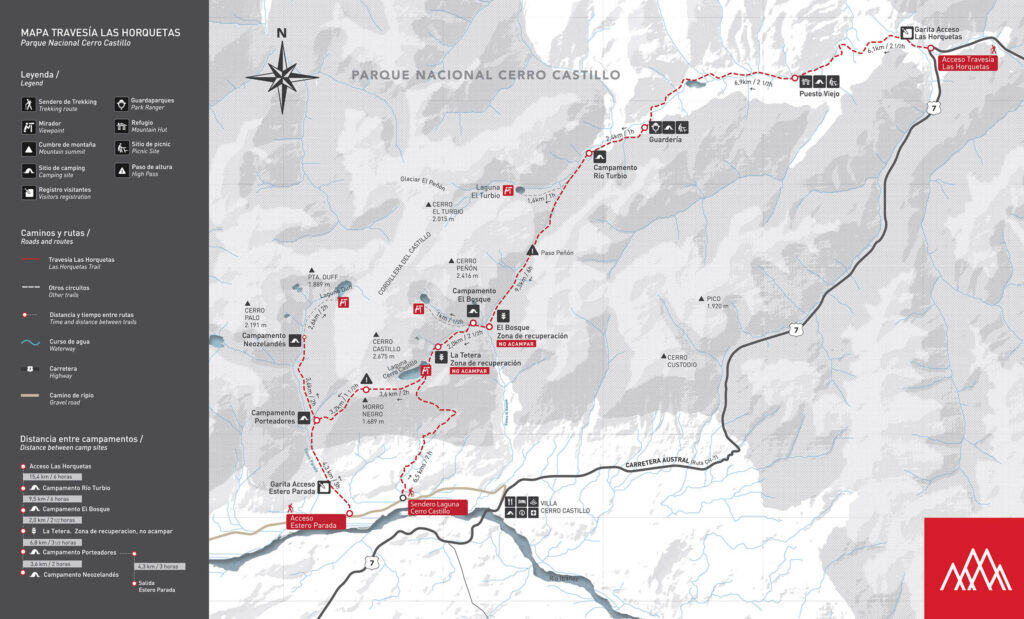
There is a multi-day traverse through the park known as the Las Horquetas Circuit, but if you don’t have the time or inclination for a 3 – 5 day self-sufficient camping trip, there are also several day hikes to the most scenic parts of the circuit.
The most popular of these trails is the Laguna Cerro Castillo Trail.
Save hours planning your Carretera Austral road trip with our Handbook + Custom Map

About Laguna Cerro Castillo
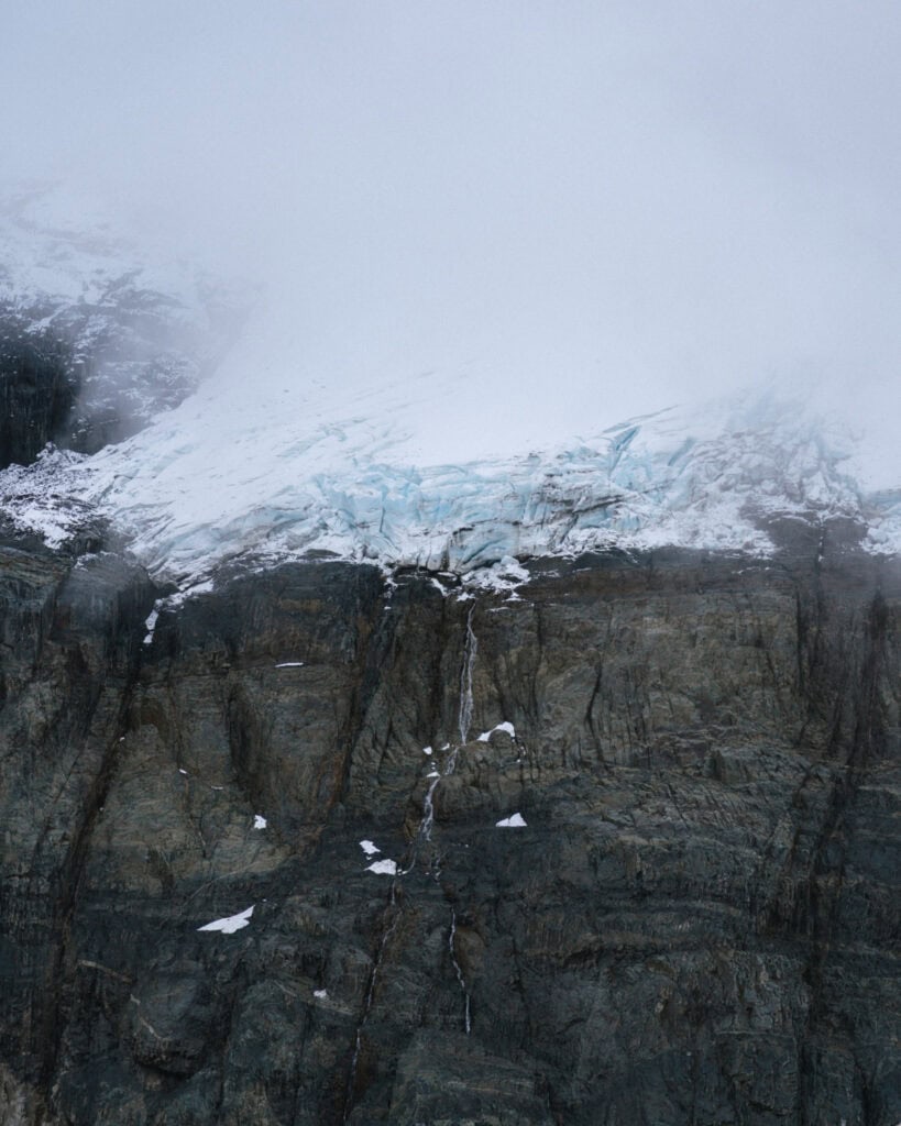
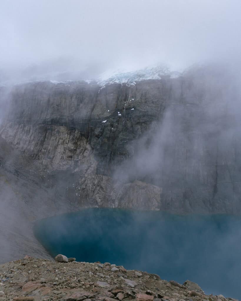
A cobalt blue alpine lake sitting below the jet-black, jagged peaks of Cerro Castillo, with glaciers clinging to its slopes and waterfalls tumbling into the lagoon. Sounds beautiful, right?
That’s Laguna Cerro Castillo. The most popular day hike inside Parque Nacional Cerro Castillo and possibly the entire Carretera Austral region.
Experiencing these views is no easy feat, though.
This is a tough trail, and nearly every step felt like hard work. Despite not being quite as long as other trails we had hiked in the region, it was a near-constant incline.
The first 5 km of the trail pass through a changing landscape of lenga and ñirre forests, as well as open paddocks and farmland with a few river crossings. The gruelling finale is an ascent of more than 300 metres in just 1.5 km, on exposed scree to reach the lagoon.
Which trail to hike?
The Cerro Castillo National Park is a bit of a basket case when it comes to organisation, and you’ll find a lot of confusing, outdated and incorrect information online, particularly about the Laguna Cerro Castillo trail.
Looking at the map, I think the confusion comes from the fact that the official boundaries of the park do not extend to any realistic access point by road, so a handful of the trails have to cross private property to allow the public to actually get inside the park.
The national park is jointly managed by CONAF (Chile’s national parks authority) and a local tourism association, which I believe has representation from local landowners.
The Laguna Cerro Castillo hike was always particularly complicated, and there used to be multiple routes to choose from. The trails formerly passed private property, and hikers would pay the landowners a fee directly. This obviously wasn’t the best way to do things, given that the area is partially part of a national park.
From what I understand, there have been extensive negotiations and eventual cooperations with landowners over the years to make the Laguna Cerro Castillo trail accessible to the public and unify one route that is monitored by the park staff.
There is now only one route to hike to Laguna Cerro Castillo. It does not pass private property (or if it does, it is under agreement from the national park).
It’s the route you’ll find on AllTrails, and the trail has its own dedicated entrance located here.
How to get to the Laguna Cerro Castillo trailhead
The trail for the Laguna Cerro Castillo hike has its own dedicated entrance. It’s located here on Ruta X-720, a dirt road that runs out of Villa Cerro Castillo. The trailhead is approximately 5 km from town.
There are a few ways you can reach the trailhead from town: walk, drive or organise private transport.
All these options assume you are already in Villa Cerro Castillo, and I would personally recommend spending at least a night in this town. I’ve got more detailed information on getting to the town in my dedicated guide.
However, it is possible to visit from Coyhaique for the day, to hike Laguna Cerro Castillo and return. It’s around a 1.5-hour drive.
If you’ve got a car, you can drive yourself right to the trailhead. Buses from Coyhaique to Cochrane or Chile Chico both pass by Villa Cerro Castillo. If you’re taking the bus, you’ll still need to factor in getting to the trailhead as the bus stop is in the centre of town.
Walking
If you don’t have a car and you don’t mind adding ~ 10 km onto your already tough hike, you can walk to the trailhead from town. It’s along a dirt road that is mostly flat, with the exception of a few steep hills.
Personally, walking back to town after this trek sounds like my idea of a nightmare, but there’s also the possibility of hitchhiking, which is very common in this area of Patagonia.
Driving
It’s a 10-minute drive from town to the trailhead. How confusing can it be? Quite, actually!
The reason for this is that it is not recommended to drive all the way to the trailhead unless you have a 4×4 vehicle.
The dirt road out of town is no worse than most of the unpaved roads around the Carretera Austral (including the highway itself!), with the exception of one very steep and rutted hill right before the driveway to turn into the ranger station.
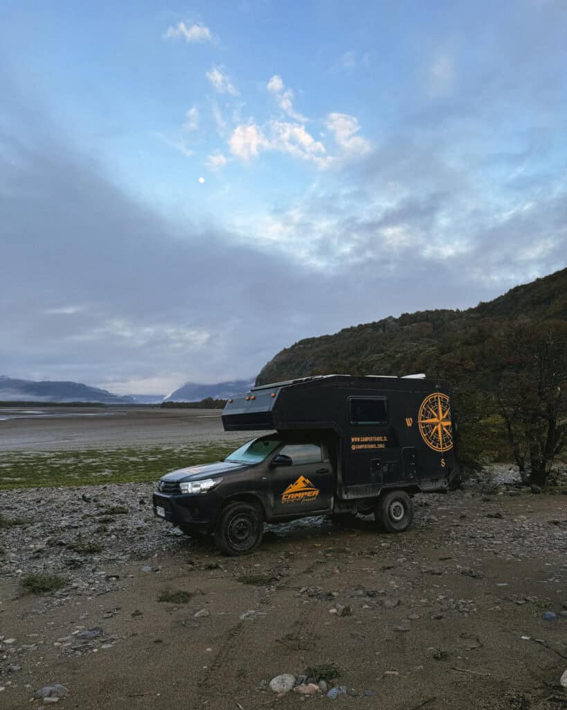
We visited in our 4×4 Camper Travel Chile camper and drove all the way to the ranger station, no problems. There is a big, open car park on the grass that is free to park in.
If you don’t have a 4×4, keep your eyes peeled for two signs along the road. Confusingly, there are two signs warning 4×4 only, but you can actually drive past the first one, so long as you stop before the second one.
There is just enough room to park on the side of the road. From there, you’ll need to walk about 1.6 km (1 mi) downhill to the official starting point (and yes, it’s a gruelling uphill on your way out!).
If you’re a confident driver in a relatively high clearance vehicle visiting during dry conditions, you could probably drive all the way to the main entrance, lots of people do. I’d suggest pulling out at the second sign and having a quick scope on foot first, to make sure you’re comfortable continuing.
Private transport
If you don’t have a car and you don’t want to walk to the trailhead, you can organise private transport in town.
We didn’t see any taxis as such, but we found this information on Chile’s parks website:
- Luis Eduardo Morales (+56 9 76494451)
- Transfer Villarrica (+56 9 66560172)
- Buses Marcelo (+56 9 78736157)
- Buses Javier Alí (+56 9 3131402)
- Transfer Feña (+56 9 62041342)
We had our own vehicle, so I can’t verify this, but it’s a starting point! Your accommodation in Villa Cerro Castillo, if you’re staying, might also be able to assist.
Entrance fees
The entrance fee for the Parque Nacional Cerro Castillo is one of the steepest we encountered in Patagonia. I suspect that it is higher than other CONAF-managed parks because some of the fee is going to the landowners who permit access to their private land.
If you are planning to hike Laguna Cerro Castillo, a single-day hike, you’ll pay 20,000 CLP (~ $20 USD) as a foreigner.
You can pay via card only at the ranger station. I think it is now possible to pre-book your tickets online at the park’s new website, but I don’t think it’s necessary for this trail that doesn’t have any capacity limits (the Las Horquetas Circuit has a new limit of 40 hikers per day).
You will get given a paper ticket at the trailhead, which you must keep handy. At the 5 km mark (which I think is when you officially enter the boundary of the national park), there is another ranger station, and they will ask to see your ticket again before you continue on the final stretch of the trail to the lagoon.
I believe this is to combat people coming in from the old trails and trying to avoid the entrance fee. When we hiked in April, there was no one checking tickets when we ascended, but we passed the ranger coming up as we were on our way back down.
At the same time as buying your tickets, you will be asked to complete an online registration and liability waiver form on your phone. They have Starlink internet to connect to, and you scan a QR code. This park in particular seems to take safety and liability very seriously, and you are required to sign that you have the correct gear, are fit and prepared enough for the hike, and I assume waive all liability of the park (I don’t know, I didn’t read the T&C!).
When to hike Laguna Cerro Castillo
This is another confusing part of this national park you need to make sure you wrap your head around!
There are two parts to this: the times of day you can access the trail, and the time of year that the trail is open.
Time of year
The entire national park, including the Laguna Cerro Castillo trail, closes to self-guided visits during the winter months, which is generally from October – April.
However, what is determined as ‘winter’ changes each year, depending on the snow cover and weather forecast at the time. It also differs per trail.
To give you an idea of what to expect, for the 2024/25 season, as per the park’s Instagram, the Laguna Cerro Castillo trail opened for self-guided hikes on 30 November 2024 and closed on 21 April 2025.
📣 The trail for the 2025/26 season opened for self-guided hikes on 21 November 2025
With the exception of bad weather days, the trail is open throughout the winter ONLY with a licensed guide. If you’re visiting during the winter months when guides are required, you can organise a guide with the local cooperative, Cerro Castillo Mountain Guides.
Time of day
If you’re planning to hike Laguna Cerro Castillo during the summer months without a guide, you must adhere to the access times.
You must start the trail between the hours of 8:00 am – 12:00 pm. This gives you enough time to go up and back before it gets dark.
If you’re visiting during winter and you are required to hike with a guide, I don’t believe there is any restriction on when you start. The park trusts the guides to organise a suitable time that takes into consideration daylight hours and weather conditions.
Trail closures and weather conditions
Outside of the seasonal access changes with guides/no guides, the park may also close the trails at any time of year in case of inclement weather.
The Laguna Cerro Castillo trail seems to be the most common suspect to be closed, as it has a longer independent hiking season than the Las Horquetas Circuit, so it is open during the shoulder seasons, but it also has some high-altitude parts of the trail that often see snow and strong winds.
Ideally, the park will close the trail for the entire day and won’t allow you to hike at all if bad weather is forecast (they often post updates on their Instagram stories).
However, the final 1.5 km stretch of the trail, after you pass the 5 km marker and the official national park sign, can be closed at a moment’s notice.
During the peak hiking months, a ranger sits up there all day checking tickets and monitoring the weather, and they will close the final stretch to the lagoon if the weather turns.
I’d be raging if I’d hiked all the way and couldn’t make it to the end, so cross your fingers for a clear weather day, but ask at the trailhead if there is any bad weather on the forecast.
Do you need a guide to hike Laguna Cerro Castillo?
Just to reiterate, because it is very complicated… You do not need a guide to hike to Laguna Cerro Castillo if you are visiting during what the park deems to be the ‘summer’ or ‘fall’ months, when they have officially opened the trail for self-guided visits.
If you visit outside of this time, during the winter months, you can only hike to Laguna Cerro Castillo with a registered guide. You can organise a guide with the local cooperative, Cerro Castillo Mountain Guides.
Amenities at Laguna Cerro Castillo
At the ranger station at the trailhead, you will find bathrooms (free) and cold showers (supposedly with a fee of 1,500 CLP, but I can’t confirm this).
There is also Starlink internet here, which you connect to to complete your online registration form, but of course you can cheekily use it if required!
There is also a paid campground here that is not inside or related to the national park, Camping Sendero Cerro Castillo. The toilets and showers may actually belong to them.
At the 5 km mark, there are supposedly toilets (I assume dry latrines) and potable water. We didn’t see them (literally, we couldn’t see more than a few metres in front of us for the fog!), but I’ve read they exist.
What to wear and bring
You need to come to Laguna Cerro Castillo prepared for a tough trek. The rangers at the trailhead also check this, and you are required to sign an online waiver agreeing that you are properly prepared with the right equipment.
That means proper hiking shoes (I personally don’t think runners would cut it for this one), trekking poles and clothes for all kinds of weather.
The summit area is remarkably colder than the trailhead and is often covered in snow, even in the warmer months, and is prone to strong winds.
On the flipside, the trail is exposed for a lot of the way, which in summer can feel very hot, so you’ll need adequate sun protection and plenty of water. We’ve also read that the horse flies can be brutal in the summer months, so pack some repellent.
We munched through multiple bags of lollies on the way up. I needed all the energy and encouragement I could get!
Below is our go-to day-hike packing list for Patagonia.
We amend it slightly depending on the trail distance and terrain, and weather conditions, but as a base, this is everything we think about before a long day hike. Never forget that the weather in Patagonia can change on a dime, so even if you set out hiking in sunshine, you need extra layers for wet or freezing conditions.
The only thing we didn’t pack on this hike was swimming stuff, everything else was in our day bags.
- 💦 Water bottles x 2 per person
- 🫧 Electrolyte sachets
- 🍭 Lollies
- 🥪 Lunch or snacks
- 🍴 Reusable cutlery kit (if required for food)
- ♨️ Thermos with hot water
- ☕️ Reusable coffee cup
- 🫖 Tea or coffee bags
- 🥾 Hiking poles
- 👀 Binoculars
- 🔦 Head torches
- 🧢 Hat
- 😎 Sunglasses
- 🧴 Sunscreen (reef-friendly)
- 🦟 Insect repellent (natural)
- 🧥 Rain coat and pants
- ☔️ Dry bags and/or waterproof bag cover
- 🧣 Gloves, scarf/buff and beanie
- 🥶 Extra warm layers
- 🧦 Spare pair of socks
- 🩳 Shorts to change into if warm
🧖🏽♀️ Towel(if swimming)👙 Bathers(if swimming)- 🩹 Mini first aid kit and medicines
- 🧻 Tissues and/or toilet paper
- 🚽 SheWee
- 📱 Charged phone with trail map downloaded offline
- 📷 Camera with spare batteries and memory card
- 📚 Ereader
- 🔌 Powerbank and phone cord
Other trails in Parque Nacional Cerro Castillo
In addition to the Laguna Cerro Castillo, there are a couple of other day hikes in the park, as well as the famous Las Horquetas Circuit.
- 🥾 Laguna Duff: doable as a long single day or an overnight hike, the Laguna Duff trail starts from the Estero Parada entrance, just a little further along the road from the trailhead to the lagoon. It’s a 22 km (13.7 mi) out-and-back trail if you tackle it in one day, but you can spend the night at Campamento Neozelandes (Camping New Zealand) or Campamento Porteadores (Camping Porters). Similar to Laguna Cerro Castillo, you must start the hike between 8:00 am – 11:00 am if you are doing it in one day, or by 3:00 pm if you’re staying overnight at one of the campgrounds.
- 🥾 Laguna Chiguay: a shorter walk in a different section of the park, north of Villa Cerro Castillo. This is an easy stroll around a scenic lagoon, around 4 km (2.5 mi). We didn’t visit this lagoon, and there’s not a lot of info online about opening hours. Apparently, there is a ranger office here, but it’s not always staffed. I’m not sure if this trail closes to self-guided walks in winter.
- 🥾 Circuito Las Horquetas: sometimes called the Travesía Cerro Castillo or the Cerro Castillo Circuit, this is a 55 km (34.4 mi) traverse starting from the Las Horquetas entrance, 30 km north of town along the Carretera Austral, and finishing back in Villa Cerro Castillo. You’ll pass Laguna Cerro Castillo, Laguna Duff, stunning high alpine scenery, glaciers and aerial views of the Rio Ibañez. The recommended route is 5 days / 4 nights, but some people do it in 4 days / 3 nights or even quicker. There are several basic campsites along the route, but you have to carry all of your own gear. You can rent gear in town from La Montañita if required. There is a new limit of 40 hikers per day starting the trail from the 25/26 season, so you’ll need to pre-purchase your tickets online in advance to secure your spot!

Our experience hiking Laguna Cerro Castillo
All I can share is our experience, and I hope yours is nothing like this.
This was the hardest, saddest and most disappointing hike we did during our two months in Patagonia. I hate being so fussy about the weather, but it’s a bit hard to be positive when you literally cannot see the thing you have walked all day to see!
We probably pushed our luck hiking in mid-April when the weather was on the turn. Looking back, the trail was closed to self-guided visits just one week after we hiked, so that tells you everything you need to know.
Anyhow, the trail doesn’t change no matter the weather, so I can still share our experience hiking, with the best hopes and positive vibes that you experience much nicer weather than we did!
We started our day at the ranger office at the trailhead at 9:00 am. Although access opens at 8:00 am, 8:00 am in the Aysen region (no daylight savings) in April is still pitch black, so our hike started a little later than it would have if we were visiting in the height of summer.
We had no issues driving our 4×4 camper the entire way down, and we parked alongside one other car in the grassy car park.
The weather had been very poor the previous few days with lots of rain. I was actually quite nervous the trail would be closed entirely, but we arrived to find smiling staff and a confirmation that yes, it was open.
We paid our very pricey entry tickets on card and completed the online waiver form before setting off with layers on and trekking poles in hand. I wouldn’t say the weather was good, but it wasn’t raining and it was much clearer than it had been for days (only one layer of cloud as opposed to five!). We still hadn’t glimpsed the iconic jagged peaks in the entire time we’d been in town.
The trail has a steep incline to start, climbing into a patch of dense forest. After about half an hour, it opened up slightly to a flatter area, and we had a cruisy couple of kilometres.
It was incredibly muddy in this stretch, and there was a series of wooden planks to navigate over the worst of the muddy wetland.
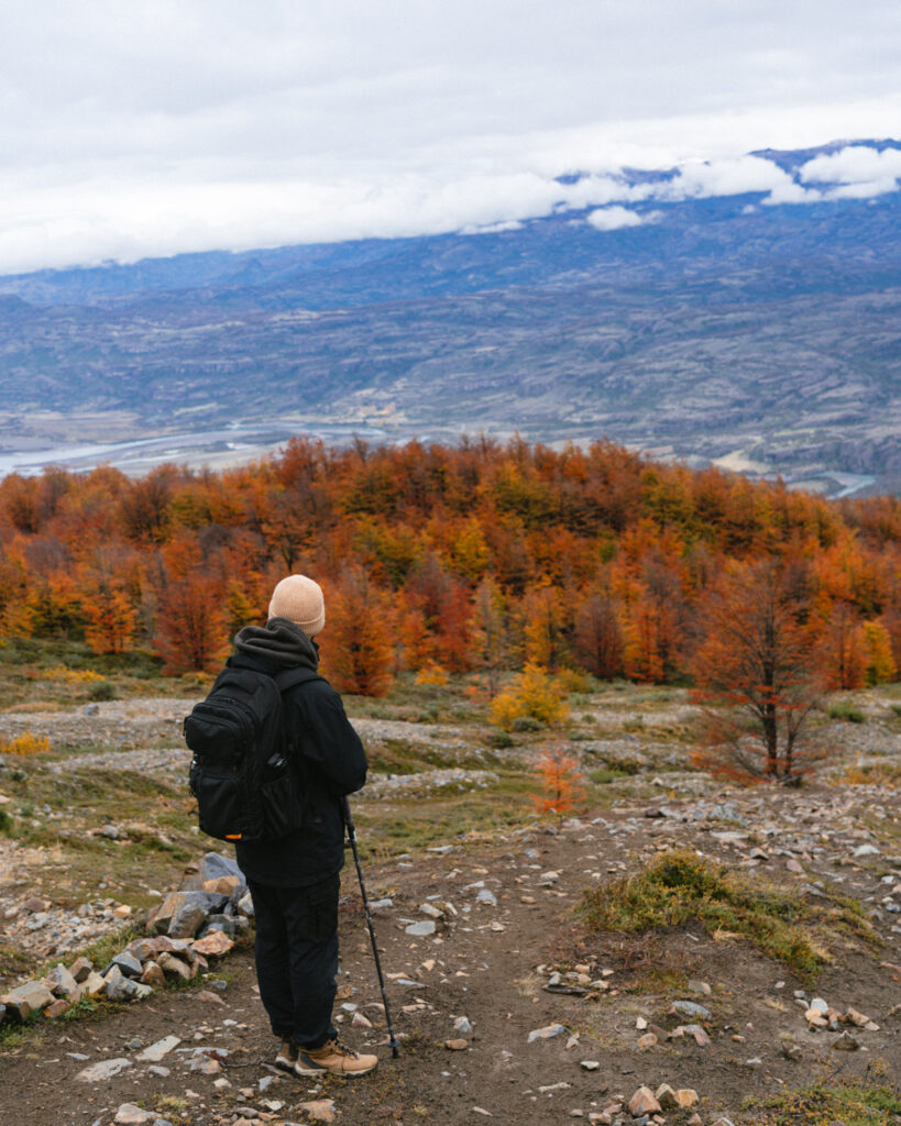
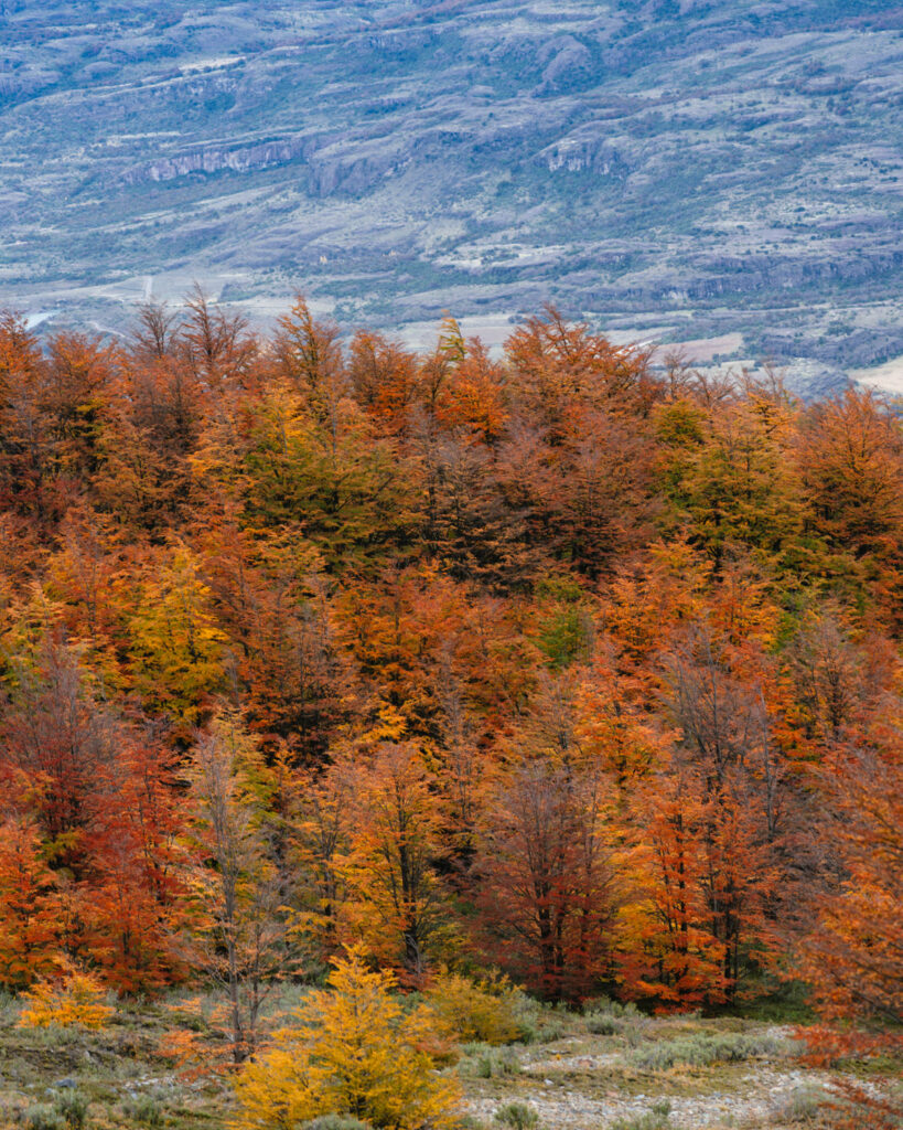
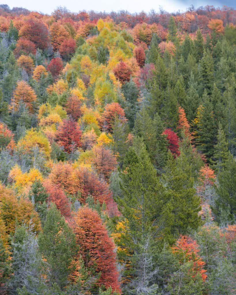
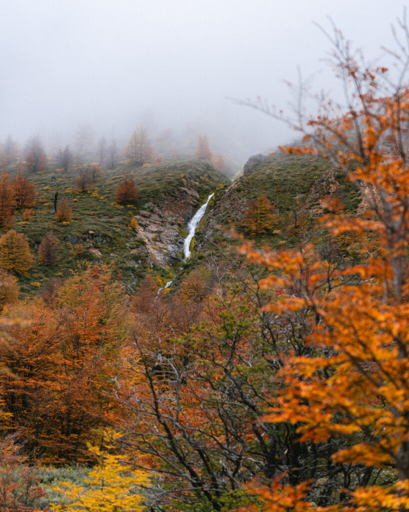
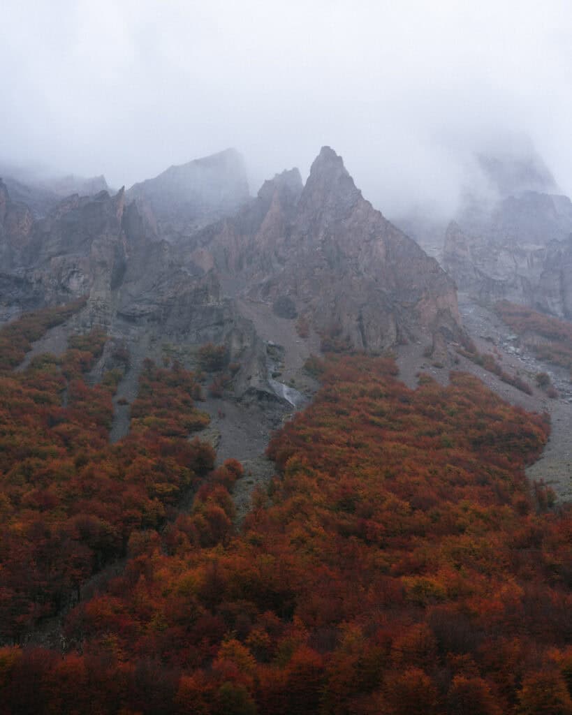
The positive of hiking in April was that the forest was ablaze with autumn colours. We had a fiery rainbow of red, yellow and orange trees.
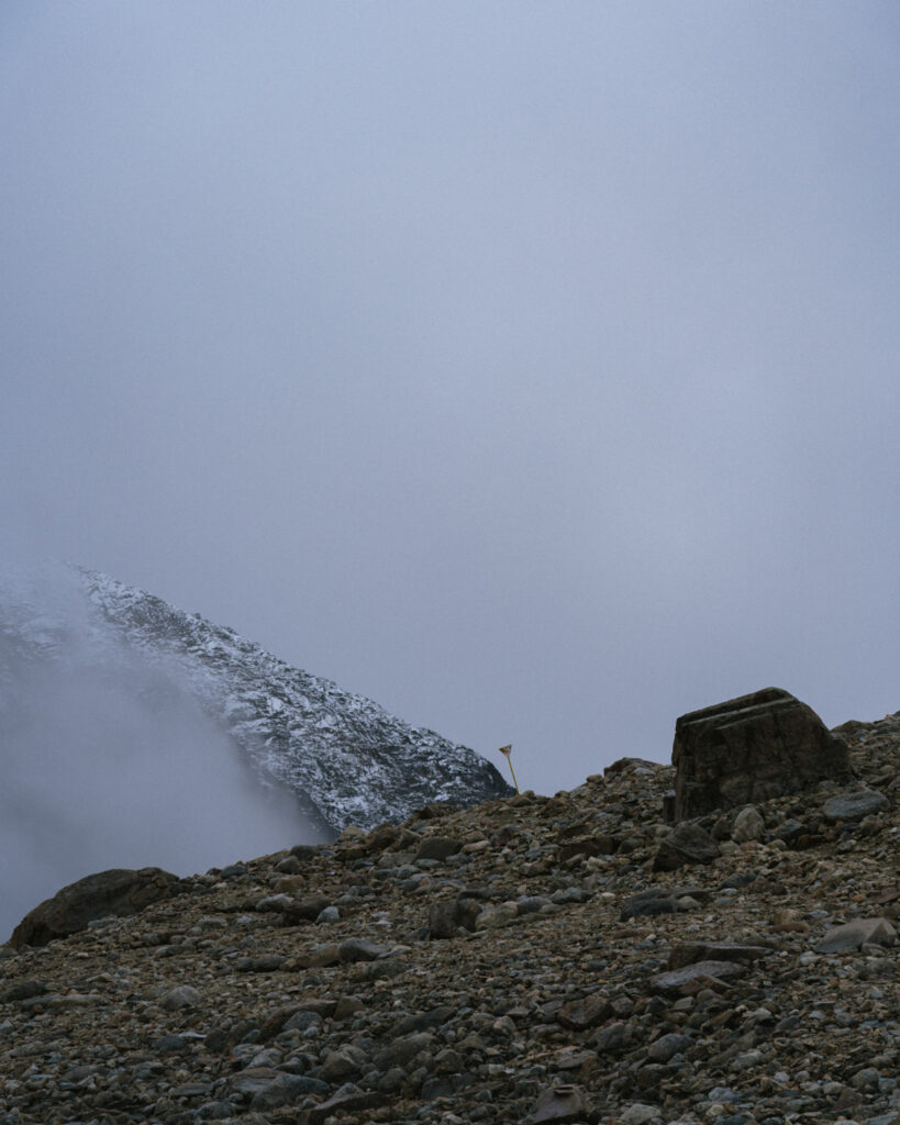
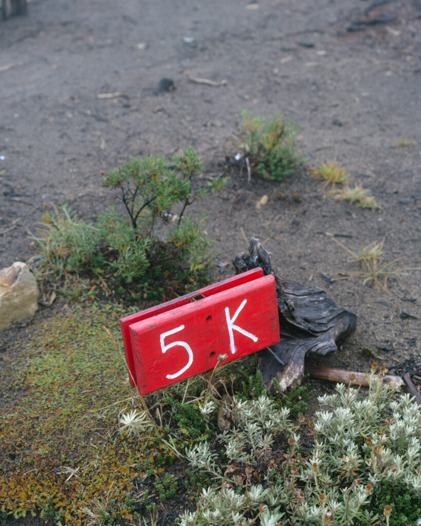
We hopped across a small stream, and then the trail started to incline again. Gentle, but definitely a constant incline. The trail narrowed as we brushed through dense bushes. It was easy to follow and clearly marked with yellow triangle markers dotted along the trail, as well as red kilometre markers.
The higher we got, the lower the visibility became. The fog was a wall in front of us, and there were little to no views looking up. Turning around and looking back down into the Rio Ibañez valley, we had some views, partially concealed by swirling cloud and fog.
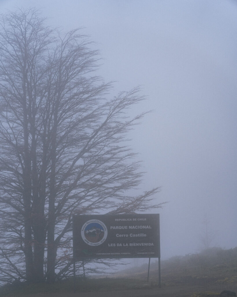
By the time we reached the 5 km mark and the official national park sign, we could barely see a few metres in front of us. I remained optimistic that it would be clear at the top, but the signs were not positive.
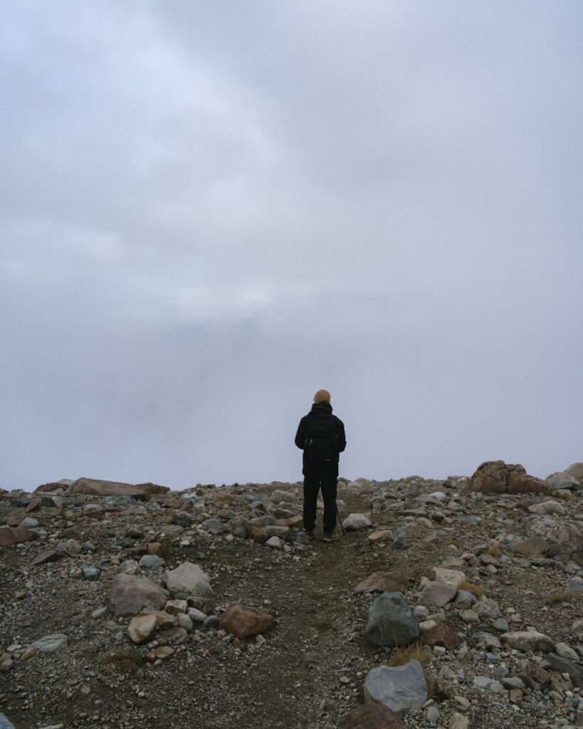
The next 1.5 km felt as if they went forever. I hate going uphill at the best of times, but knowing deep down there was probably no reward waiting at the top made it even harder. We had also lost all visibility behind us, it was just a sea of fog.
This open section of rocky scree was absolutely brutal. According to the map, it’s 1.5 km, but I think it was closer to 2 km before we finally reached the marked viewpoint near the lagoon. It’s on par with Laguna de los Tres in El Chalten, and it felt even tougher for us with the bad weather.
There was a lot of lollies eaten, and a lot of complaints, even from me, when I would ordinarily keep my mouth shut, being the instigator of all the tough hikes in the first place!
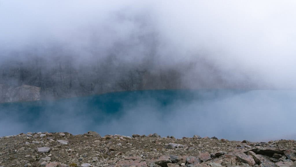
Exactly 3.5 hours after we started hiking, we made it to the lookout point marked on the map. Yes, we had to check the map to confirm we were in the right place because there was nothing indicating there was a lagoon in front of us.
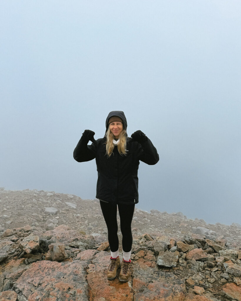
The second we stopped walking, the temperature dropped remarkably. The wind was blowing, and there was quite a bit of snow around. We put back on the layers we had just peeled off on the ascent, and decided to eat our lunch and see if the cloud moved. I was very thankful for our decision to pack coffee. A hot drink and a sandwich were just what we needed.
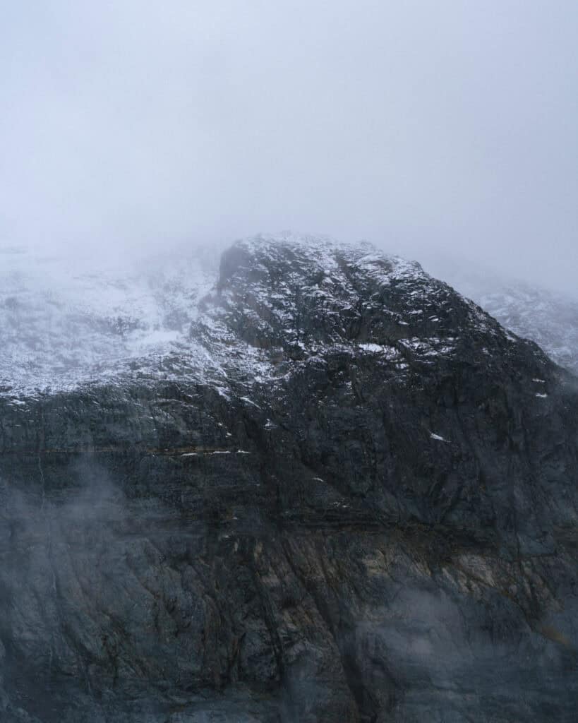
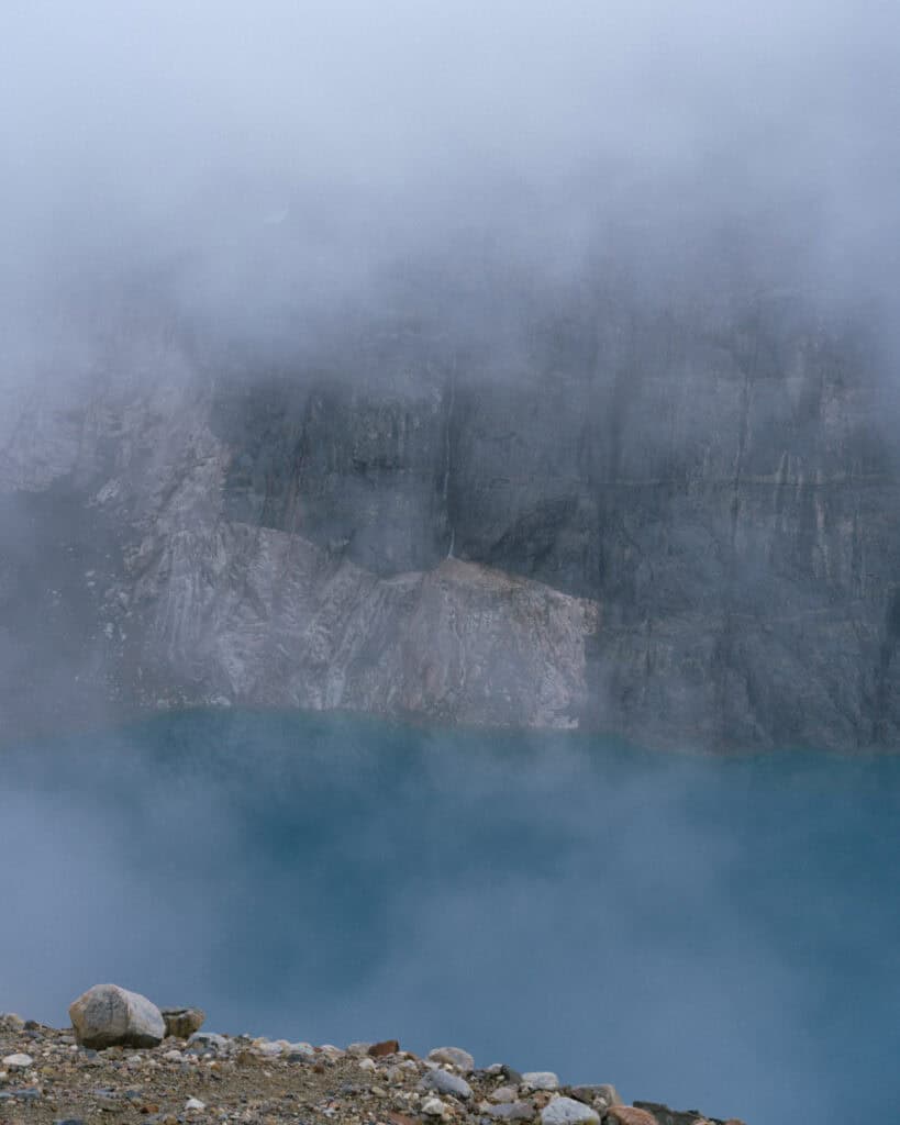
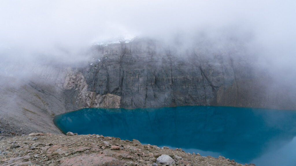
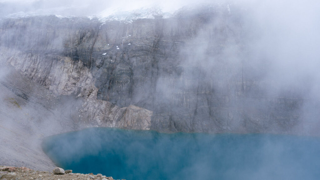
Almost an hour later, there had been very little movement in the cloud. We had snatched tiny glimpses of the lagoon and a peek at the black rock hiding behind the fog. Brayden was just about ready to drag me down, my forever optimism remaining hopeful it would clear in just ‘5 more minutes’, when we ran into a lovely German couple we had met a few weeks prior.
We were chasing each other along the carretera, first meeting on the TABSA ferry from Puerto Natales to Puerto Yungay to start the highway, and again a few days earlier in Puerto Rio Tranquilo.
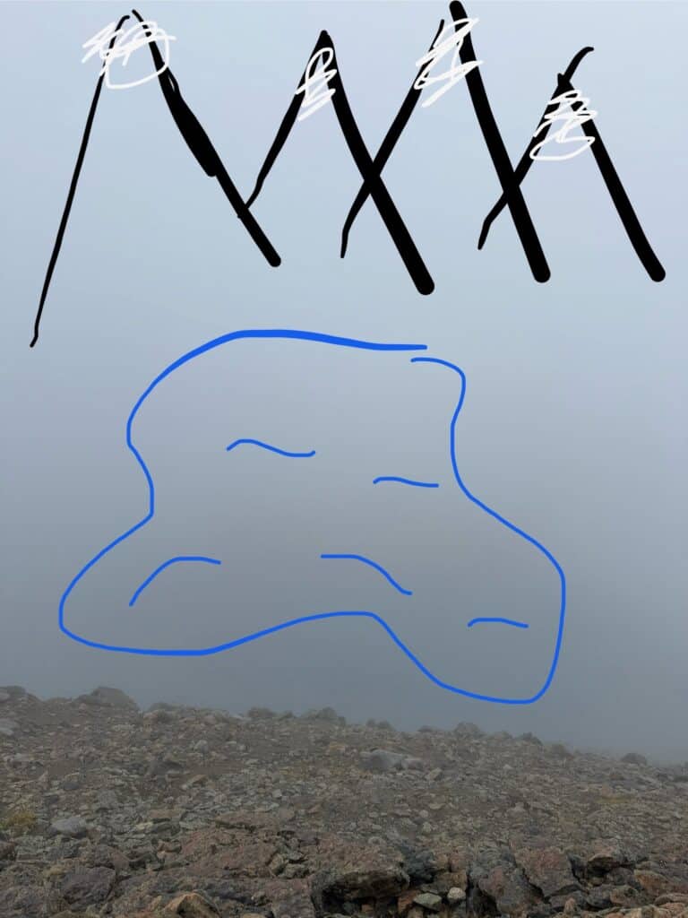
Of course, we got chatting, and in the time that we were talking, the cloud finally started to clear. Don’t get too excited, it didn’t magically blow away and leave an uninterrupted view with blue skies and sunshine. It shifted slightly, just enough so we could get an okay look at the lagoon, a glimpse of the glacier and waterfall and an idea of what the basalt peaks might look like.
We definitely did not see the castle in all its glory, but at least our efforts weren’t totally wasted.
We finally turned back and started making our descent. It was easier on the heart but far tougher on the legs, and my trekking poles were holding me up! The rocky stretch was tough and slow, but when we made it back to the forest line, we were able to pick up the pace again.
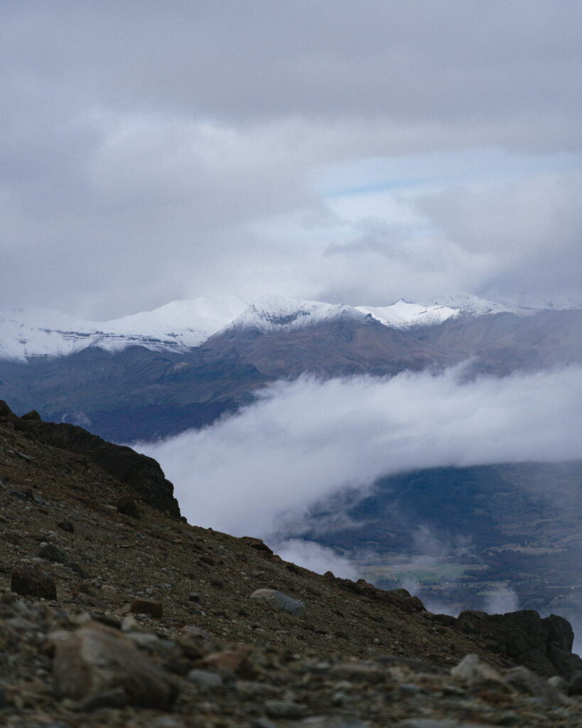
It had definitely cleared a bit compared to the way up, and we were able to enjoy some views of the Rio Ibañez and the blazing autumn colours of the trees on the slopes, with waterfalls rushing down the side of the mountain.
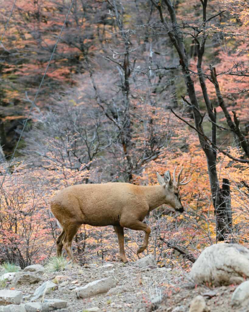
I kept my eyes out for huemuls the whole time, but goodness knows I probably wouldn’t have seen one in the fog, even if it was right in front of me!
We finally made it back to the ranger station and were greeted with some cute kittens who seemed to be living at the campground. Not a huemul, but I was happy for the reward after the tough slog.
It wasn’t the experience we were hoping to have at Laguna Cerro Castillo, and the tough hike was all the harder without the reward of a stunning view at the top.
Unfortunately, in Patagonia you cannot control the weather, and we considered ourselves pretty lucky that this was one of only a few days that were really wrecked by bad weather. (Another being the 20 km Lagunas Altas hike we had done the week prior in pouring rain in Valle Chacabuco at Parque Nacional Patagonia).
We have unfinished business at Parque Nacional Cerro Castillo, and one day I’ll be back in the height of summer to hike the Las Horquetas Circuit and enjoy those stunning views.
Planning a trip to Villa Cerro Castillo
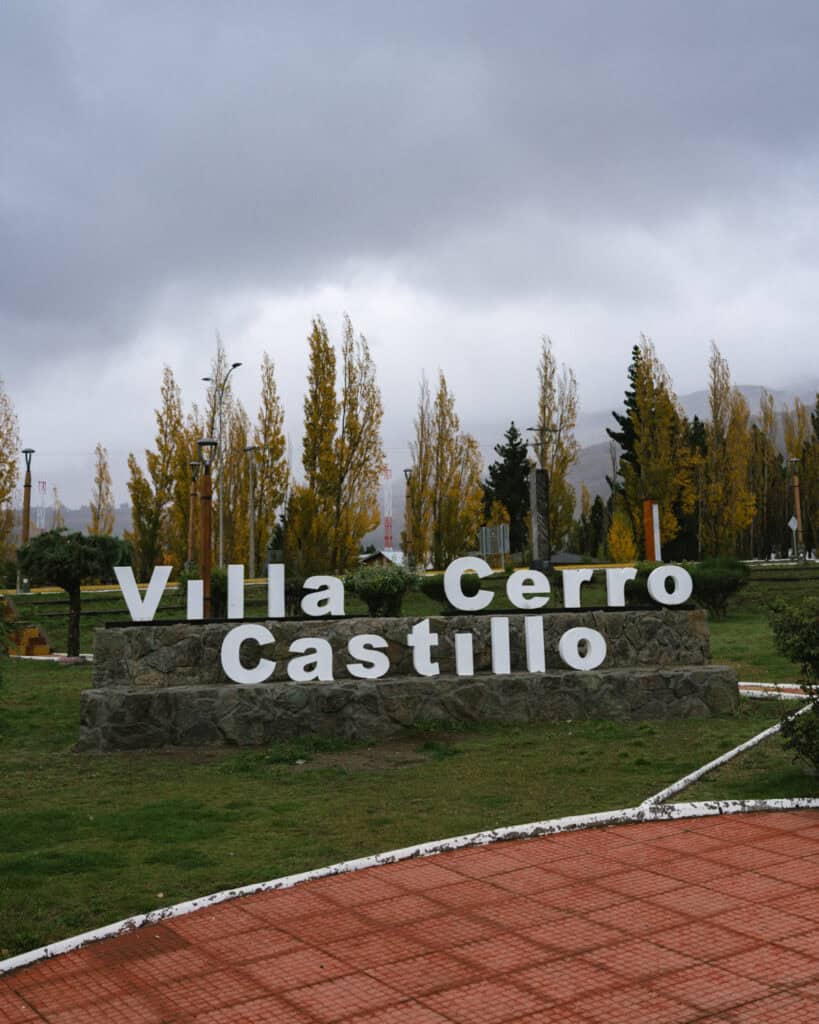
While you can complete this hike as a day trip from Coyhaique, if you’re travelling along the Carretera Austral, it makes sense to stay in Villa Cerro Castillo for a night or two. Read our Villa Cerro Castillo travel guide, which covers all the important info you need to know, like getting there, getting around, the best places to eat, where to stay and other handy tips to get your bearings.
🏰 Everything you need to know about Villa Cerro Castillo
Final thoughts: Laguna Cerro Castillo hiking guide
Our hike to Laguna Cerro Castillo was not exactly the experience we were hoping for, but the weather was unfortunately not on our side!
Despite the sea of fog we encountered, I saw enough to know how special this view would have been on a clear day. The black of the basalt rock contrasted against the vibrant blue of the lagoon, with the white of the glacier – I know it would be worth the walk.
Although I couldn’t share a perfectly positive hiking experience with you, I hope this guide still helps you plan your own hike to Laguna Cerro Castillo and explains some of the complex parts of this trail, with the fees, access points, hours, etc.
Don’t forget to check out our Villa Cerro Castillo travel guide too, if you’re planning to spend a night or two in town.
MORE VILLA CERRO CASTILLO POSTS