
This article contains affiliate links that may earn me a small commission at no extra cost to you. As an Amazon Associate, I earn from qualifying purchases. For more information, see our affiliate disclaimer.
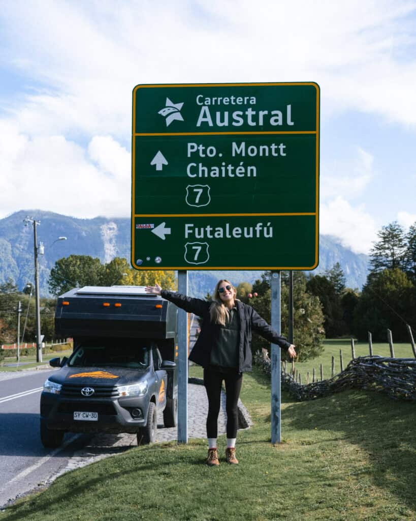
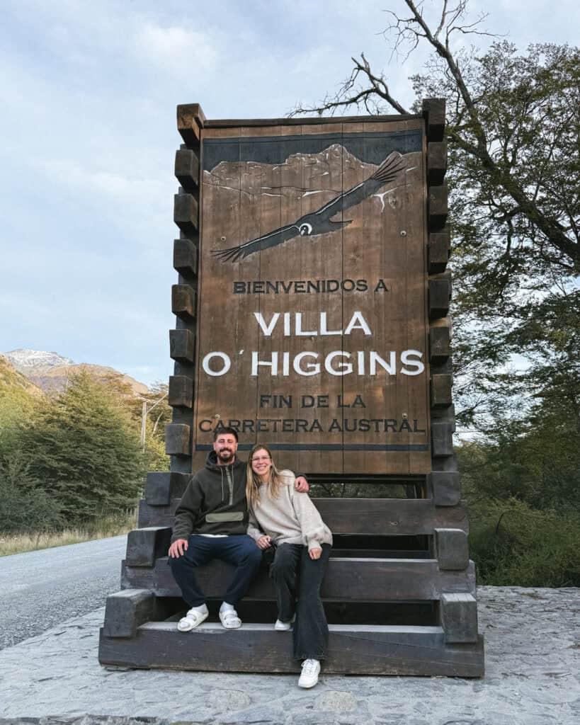
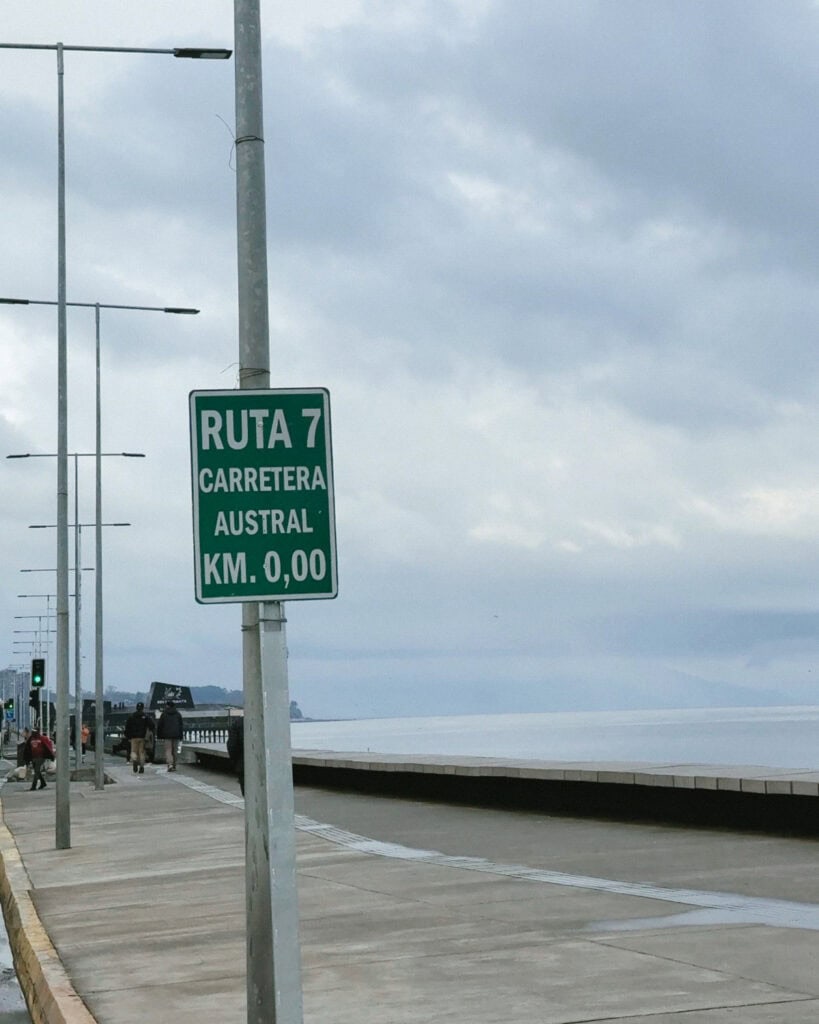
Driving the entire length of the Carretera Austral in a 4×4 camper was one of our greatest travel experiences to date. We saw the sign marking the start of the highway in Puerto Montt, and at the very end of the line in Villa O’Higgins, more than 1,200 km later.
The Carretera Austral, aka the Southern Highway, aka Ruta 7, is a 1,240 km road in Chilean Patagonia, connecting a string of remote towns. It’s more than half unpaved, requires a ferry to continue in three places and has an abrupt end where the road meets the Andes and the Southern Icefield.
This is a side of Patagonia most people won’t see, away from the big ticket highlights and the crowds in the south. It is a haven of raw and rugged nature, with some of Chile’s most beautiful national parks, tiny towns in places you wouldn’t even imagine were inhabitable and jaw-dropping scenery.
A Carretera Austral road trip will have you trekking on glaciers, sailing on sparkling lakes, camping next to crystal clear rivers, hiking in lush green forest, constantly stopping to take in the mountainous views and immersing yourself in untouched, wild nature.
This post details our EXACT 3-week Carretera Austral road trip itinerary, sharing exactly what we did, where we stayed and how far we drove each day to help you plan the perfect route through the most underrated region of Patagonia!


About our Carretera Austral road trip
Before I dive into the details of our day-to-day Carretera Austral road trip itinerary, I want to share some details about our trip and how we approached this region, so our route makes a bit more sense, and to help you understand where and how you can tweak the route to fit into your plans.
- 🚗 Renting a vehicle was the only option in my mind: unless you’re a cyclist, in which case cycling the Carretera Austral is an amazing experience. If you’re thinking of visiting this region via public transport and hitchhiking, personally, I’d advise against it. Public transport is infrequent and not well connected, and anyone I’ve seen attempt to do this spends the majority of their days standing on the highway with their finger out waiting for a lift. If you actually want to see and experience the best towns, parks and sights along the Carretera Austral, you need a car (or a bike).
- 🛣️ My goal was to drive the entire highway: not part of it, all of it, and we planned our itinerary with that dream in mind. We saw the sign at the end of the road in Villa O’Higgins and at the start in Puerto Montt. We didn’t branch off the highway too much, although there are some excellent ‘side quests’ you can take if you’ve got the time, such as Futalefu. You might be happy (or only have the time) to see a smaller section of the highway, so you can adapt this itinerary accordingly.
- 🛻 We rented a 4×4: we opted for a 4×4 because the highway is more than half unpaved, and we didn’t want any concerns about damaging a rental. Could we have done it in a standard car? Yes, probably. Would I have stressed about it? Most definitely. Would it have been a lot more uncomfortable on the endless corrugations and bumps? You betcha. A 4×4 meant we could go anywhere and everywhere, including riverside campsites, especially rough side roads and sandy beaches.
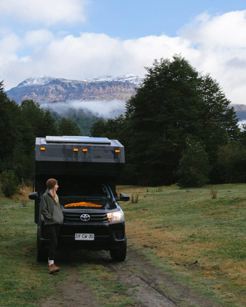
- 🏕️ The 4×4 was a camper: not only did we rent a 4×4, we rented a camper from Camper Travel Chile. The Carretera Austral is not a region known for its amazing hotels and excellent food options. Camping on the Carretera Austral is a wonderful way to see the region, and it allowed us to fully immerse ourselves in nature, sleeping in the most beautiful places. Also to cook our own meals, which was a lifesaver (and budget helper) in the small towns that didn’t really have much to offer in the way of restaurants. It’s not essential that you camp, and you can definitely do this road trip with a standard car and regular accommodations.
- ⬆️ We opted for a one-way route: this meant we picked up our rental car in a different location (Punta Arenas) from where we dropped it off (Puerto Varas). This did incur a one-way drop-off fee, however we didn’t have the time to complete a circular trip through Argentina, and we didn’t want to backtrack and drive the 1,240 km highway both ways. We figured we saved money by not driving double the amount, and the one-way fee with our rental company (Camper Travel Chile) was pretty reasonable compared to other companies in the area.
- ⛴️ We took the TABSA Ferry: from Puerto Natales – Puerto Yungay, which allowed us to start the highway in the south. There is no other vehicular access to the southern end of the highway besides the TABSA ferry, and this 3-day journey was the key piece in our one-way route.
- 🧭 South – north: it suited our other arrangements in Patagonia to travel south – north. We visited the region a bit later in the season (March – May), so it made sense to start in the coldest region and work our way north. Therefore, we had already done the W Trek in Torres del Paine National Park and visited the southern part of Argentine Patagonia before starting our road trip. You might reverse it if you’re starting your trip at the beginning of summer, when the temperatures are increasing, not decreasing.
- 📆 We rented the camper for 4 weeks: while this itinerary is only 3 weeks, we spent 3 days on the ferry from Puerto Natales before we even hit the highway, and in reality, we lost a few days along the way to bad weather. This is something you HAVE to prepare for in Patagonia. I think it’s safer to plan for a 4-week trip if you’re worried about missing out on any of the major sights. If all goes to plan and you finish ahead of schedule, you can use your vehicle for a few days in Puerto Varas, an excellent stop after the highway ends in Puerto Montt.
There are a million and one other ways to piece together a road trip along the Carretera Austral. With lots of other possible routes, side-quests to incredible destinations branching off the highway, combinations with Argentina, different ferries to enter and exit the region, and so on – all of which are detailed in my Carretera Austral Road Trip Handbook.
This post is designed to share our exact, day-by-day itinerary travelling south-north on a one-way trip of the entire Carretera Austral, from end to end. If you are starting in the north, you can easily reverse it.

Our Carretera Austral itinerary
📍 DESTINATION SUMMARY
- 🌳 Villa O’Higgins: 2 nights
- 🪵 Caleta Tortel: 1 night
- 💎 Cochrane: 2 nights
- 🦙 Parque Nacional Patagonia: 3 nights
- 🧊 Puerto Rio Tranquilo: 2 nights
- 🏔️ Villa Cerro Castillo: 2 nights
- 🍝 Coyhaique: 2 nights
- ❄️ Puyuhuapi: 2 nights
- 🌋 Chaiten: 3 nights
- 🌿 Hornopiren: 2 nights
📆 DAYS SUMMARY
- Day 1: Puerto Yungay – Villa O’Higgins
- Day 2: Villa O’Higgins
- Day 3: Villa O’Higgins – Caleta Tortel
- Day 4: Caleta Tortel – Cochrane
- Day 5: Cochrane & Parque Nacional Patagonia – Tamango Sector
- Day 6: Parque Nacional Patagonia – Valle Chacabuco Sector
- Day 7: Parque Nacional Patagonia – Valle Chacabuco Sector
- Day 8: Parque Nacional Patagonia – Valle Chacabuco Sector
- Day 9: Valle Chacabuco – Puerto Rio Tranquilo & the Marble Caves
- Day 10: Puerto Rio Tranquilo & Glaciar Exploradores
- Day 11: Puerto Rio Tranquilo – Villa Cerro Castillo
- Day 12: Parque Nacional Cerro Castillo
- Day 13: Villa Cerro Castillo – Coyhaique
- Day 14: Coyhaique
- Day 15: Coyhaique – Puyuhuapi
- Day 16: Parque Nacional Queulat
- Day 17: Puyuhuapi – Chaiten via Ventisquero Yelcho
- Day 18: Chaiten & Pumalin National Park
- Day 19: Chaiten & Pumalin National Park
- Day 20: Chaiten – Hornopiren ferry
- Day 21: Hornopiren
- Day 22: Hornopiren – Puerto Montt via Alerce Andino National Park
📍 Our entire Carretera Austral itinerary is pinned on our custom map. With more than 500 pins, this is THE most comprehensive map of Ruta 7 available. It contains all our recommendations for things to do, places to eat, where to camp, accommodation options, ferry docks, petrol stations and other amenities pinned in one handy place to help you in the planning stages and while you’re on the road.


PLANNING YOUR CARRETERA AUSTRAL ROAD TRIP CAN BE CONFUSING… I KNOW, I’VE BEEN THERE!
I spent months planning our Carretera Austral road trip – jumping between tabs, scribbling notes, and trying to remember ferry times. It’s a confusing region, and it’s easy to get it wrong!
That’s why I created the Carretera Austral Road Trip Handbook: all the info you need in one beautifully designed guide, available offline while you’re on the highway. Pair it with our Custom Google Map (500+ pins!), and you’ll have a clear, stress-free plan for the road trip of a lifetime – before you leave and while you’re on the highway.
Day 1: Driving to the end of the world
- 🚗 Driving time today: ~1 hour ferry + ~3 hours drive (99 km)
- 😴 Sleeping in: Villa O’Higgins
Our Carretera Austral road trip technically started a few days earlier when we boarded the TABSA ferry in Puerto Natales, but I’m going to skip the three-day journey through the fjords and kick-start this itinerary when we actually touched land on the Carretera Austral!
After disembarking the ferry in Puerto Yungay after 60 hours, we had our sights set on Villa O’Higgins, the end of the Carretera Austral.
To get there, we had to immediately board another ferry across the Mitchell Fjord (all the details in my Carretera Austral ferries post). This is the first of many ferries you will have to take to drive the complete length of the highway, which ends in multiple places, only to be continued via boat.
Luckily, this ferry was free and less than an hour, and then we were driving off in Rio Bravo, ready to tackle the first stretch of the highway. The southern half of the highway is entirely unpaved, and we had a baptism of fire on the winding, steep route into Villa O’Higgins.
This drive takes around 3 hours, depending on how many times you stop to soak up the incredible views. I’ve got lots of miradors pinned on my Carretera Austral map, and our first taste of this part of Chile exceeded all of our expectations. The views just got better and better around every nailbiting corner.
💡 This section of the itinerary is the only back track we had to do. To complete the entire length of the Carretera Austral from start to finish, we had to drive from Rio Bravo – Villa O’Higgins to the end of the road, and then turn around and head back the way we came, catch the ferry from Rio Bravo – Puerto Yungay again and then continue north.
We rolled into Villa O’Higgins in the early evening, which didn’t leave us much time to do anything besides grab dinner at the only open restaurant we could find in town! If you arrive earlier or have a bit more light in the day than we did, you can explore the town this afternoon.
WHERE TO STAY IN VILLA O’HIGGINS
- 🏕️ Free camp: On the lake
- ⛺️ Paid camp: Camping El Mosco
- 💰 Puesto Cánogas Hostal
- 💰💰 Departamento Los Leones
- 💰💰💰 Rumbo Sur Hotel
🌳 Read our complete Villa O’Higgins travel guide for more suggestions on things to do, restaurants and other amenities you can expect to find in this far-flung town


Day 2: A day in Villa O’Higgins
- 🚗 Driving time today: N/A
- 😴 Sleeping in: Villa O’Higgins
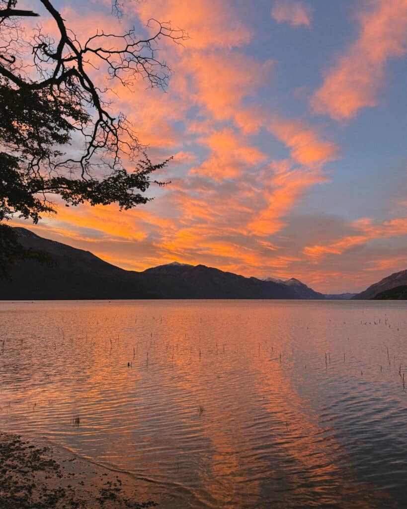
We stepped out of our camper to the most incredible sunrise over Lago O’Higgins.
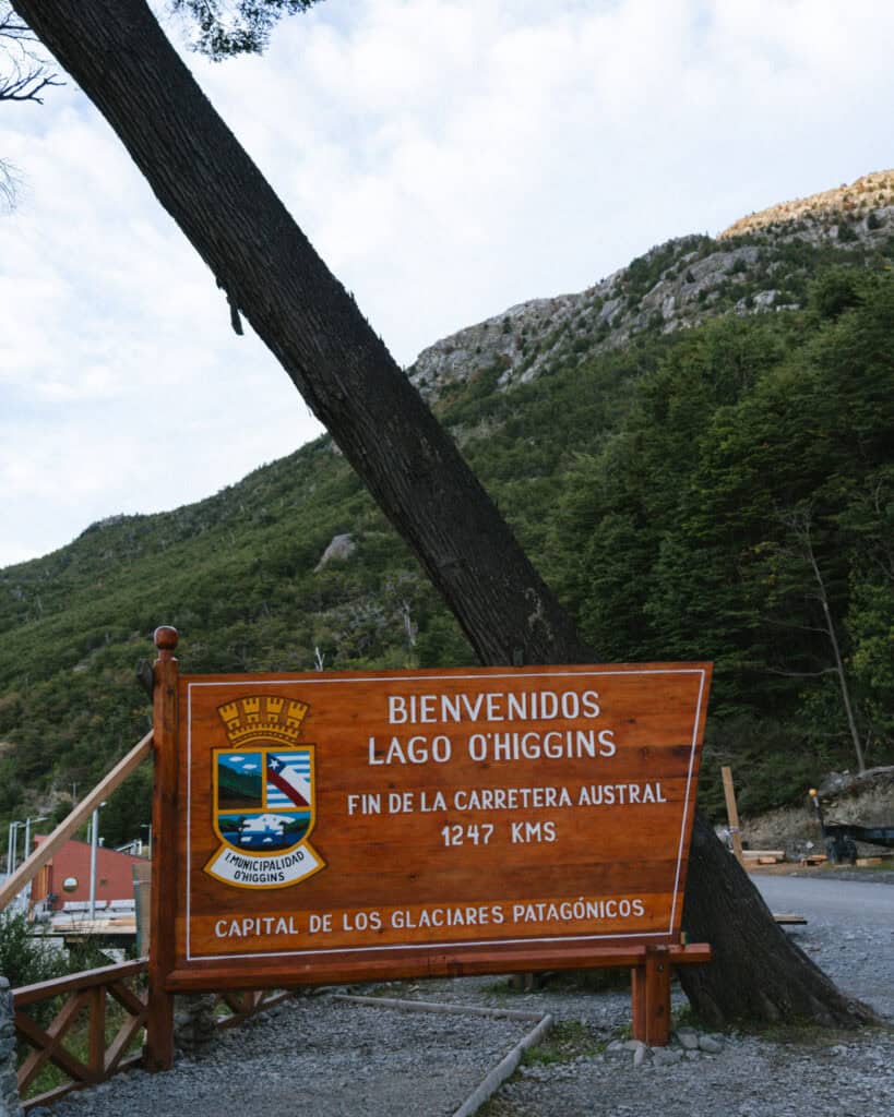
Our first stop this morning was the fin de la Carretera Austral. Literally the end of the road, which actually marked the official beginning of our road trip. The area around Bahia Bahamondes is just stunning, and of course, we took the classic photos with the signs!
We made our way into town to have a wander around this very charming little village. We really could not believe how developed it was, given its location. We truly felt like we were at the ends of the earth, but someone decided to plonk a town here.
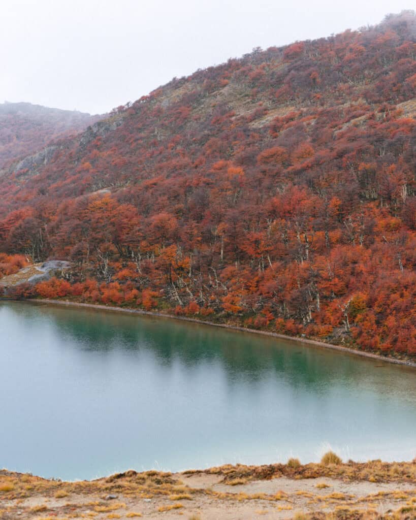
We tackled the circuit in Parque Glaciar Mosco, which was actually much steeper and much tougher than we expected. We were rewarded with an amazing aerial view of the town, a close-up look at the Mosco Glacier and fiery autumn colours.
If you’re up for a longer hike, Sendero Alta Vista (aka Sendero Rio Negro) is a good alternative that would occupy a good part of your day.
Or if you’d prefer not to hike at all, you can spend today cruising on Lago O’Higgins to Glaciar O’Higgins with Ruedas de la Patagonia.
WHERE TO STAY IN VILLA O’HIGGINS
- 🏕️ Free camp: On the lake
- ⛺️ Paid camp: Camping El Mosco
- 💰 Puesto Cánogas Hostal
- 💰💰 Departamento Los Leones
- 💰💰💰 Rumbo Sur Hotel
🌳 Read our complete Villa O’Higgins travel guide for more suggestions on things to do, restaurants and other amenities you can expect to find in this far-flung town
Day 3: The boardwalk town
- 🚗 Driving time today: ~4 hours (142 km) + ~1 hour ferry
- 😴 Sleeping in: Caleta Tortel
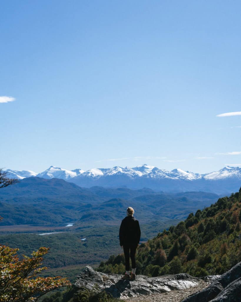
We made an early start and departed Villa O’Higgins just after sunrise to make it back to Rio Bravo for the ferry across the Mitchell Fjord (be sure to take note of the return times when you first cross).
After disembarking at Puerto Yungay, we drove ~1 hour to Caleta Tortel – the boardwalk town.
It’s a small but worthy detour off the Carretera Austral to visit this very quirky town on the Tortel Fjord, constructed almost entirely of wooden boardwalks. Stilt houses are perched on the side of a cypress-covered hill next to the coast, with a maze of pathways connecting the residents’ houses and buildings.
No cars are allowed in the village, just your own two feet, so we parked in the communal car park at the entrance of town and spent the afternoon exploring on foot.
We were happy exploring independently, and we also hiked up Cerro Vigia, a hill above town (don’t do it clockwise like we did, it’s much easier to hike anti-clockwise from the car park!).
With hindsight, I wish we’d organised a tour with Waeskar Expediciones or Turismo Katalalixar to visit Isla de los Muertos. A very sad but historically important island near Caleta Tortel, where a group of workers from a logging company were abandoned and died.
It’s something you should organise in advance, at least if you’re visiting outside of peak season, as there weren’t enough people to run the tour when we visited.
We spent a very lovely evening camping on the mighty Rio Baker, the biggest river in Chile by volume, and one you will continue to cross paths with as you work your way north along the Carretera Austral.
WHERE TO STAY IN CALETA TORTEL
- 🏕️ Free camp: By the Rio Baker
- ⛺️ Paid camp: Camping Delta Baker
- 💰 Hostel Costanera
- 💰💰 Natureza
- 💰💰💰 Entre Hielos Lodge Tortel
🪵 Read our complete Caleta Tortel travel guide for more suggestions on activities and tours you can do, restaurants and other amenities you can expect to find in the boardwalk town

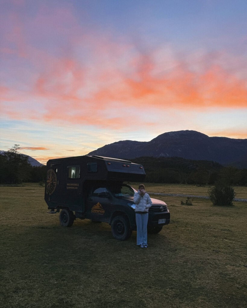

Day 4: The cutest town on the carretera
- 🚗 Driving time today: ~2.5 hours (125 km)
- 😴 Sleeping in: Cochrane
We decided to keep moving this morning as we felt we’d seen Caleta Tortel, but if you are interested, you can organise a tour to one of two glaciers.
The town sits right between the North and Southern Icefields, and you can visit Steffen Glacier in the north or Jorge Montt Glacier in the south. Turismo Katalalixar offers tours to both.
Every time we jumped in the car to continue travelling along the Carretera Austral, I swore the scenery was better than the previous days. Well, the drive between Caleta Tortel – Cochrane was exceptionally beautiful, with jagged snow-capped mountains, stunning lakes and blazing autumn colours all around!
The 2.5-hour trip took us closer to 4 hours, with all the stops we had to make to take photos and soak up the views! Again, I’ve pinned all the notable stops on my Carretera Austral map, but this trip was beautiful the whole way, there weren’t any particular stops that were noteworthy.
We rolled into Cochrane and immediately loved this town. Maybe it’s just because the sun was shining and the golden leaves had created a blanket all over the streets, I don’t know. But Cochrane is exceptionally lovely, and we spent an enjoyable afternoon wandering around and exploring.
Don’t miss the Mirador de la Cruz above town with the Cochrane letters that are so typical of Latin American towns.
There is a pretty decent cafe here, Cafe Tero, and we had a nice latte and brownie this afternoon, which felt like a very nice little luxury in this part of the world!
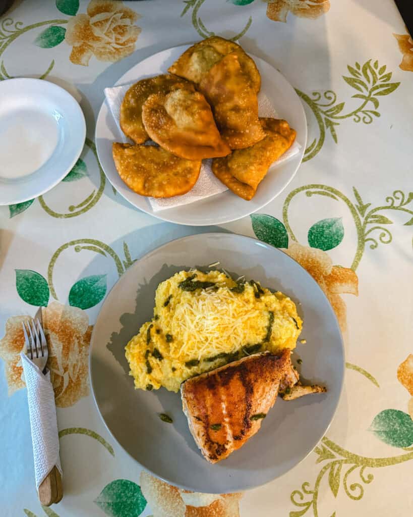
You must, I repeat MUST, go to SABINA for empanadas. It’s a bakery with bread, cakes, sweets, empanadas and other savoury goodies, and everything we tried was delish. We returned multiple times during our stay in Cochrane!
WHERE TO STAY IN COCHRANE
- 🏕️ Free camp: In the forest above town
- ⛺️ Paid camp: Camping Cecilia
- 💰 Camping y Hostal Cochrane
- 💰💰 Cabañas Canelita Cochrane
- 💰💰💰 Hotel Ultimo Paraiso
💎 Read our complete Cochrane travel guide for more suggestions on restaurants (there are a few goodies here!), things to do and other amenities you can expect to find in this charming town


Day 5: Hiking, river and huemuls at Tamango
- 🚗 Driving time today: N/A
- 😴 Sleeping in: Cochrane
Today is all about the Tamango Sector of Parque Nacional Patagonia. It’s not the most well-known part of this national park (that’s Valle Chacabuco, and you’ll head there tomorrow), but the Tamango Sector is right near Cochrane and is absolutely worth a visit!
There are several trails to choose from in this sector, and we opted for Sendero Los Carpinteros. With hindsight, I wish we’d made this hike longer by combining it with a few other trails to form a loop (I’ve got details on how to do this in my Tamango guide).
This is one of the best places in Patagonia to see the endangered huemul deer. Despite my best attempts, we didn’t spot one, but I hope you have better luck than we did. Sightings are quite common.
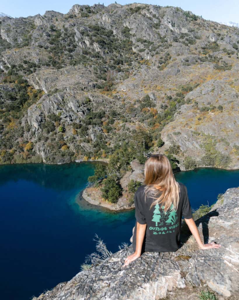
The trail winds along the Rio Cochrane, which has to be one of the brightest, bluest, clearest bodies of water I’ve ever seen. It was absolutely spectacular. What we didn’t know at the time, and you will not make the same mistake, is that you can rent kayaks at the national park and go for a paddle on the river.
So, when you’ve finished your hike, grab a kayak and get out on the water!
If you’re camping, you might like to spend tonight at the campsite inside the national park. It’s right at the entrance to the park on the river with beautiful views (and a good chance of seeing humeuls).
WHERE TO STAY IN COCHRANE
- 🏕️ Free camp: In the forest above town
- ⛺️ Paid camp: Camping Cecilia / Camping Tamango (inside the NP)
- 💰 Camping y Hostal Cochrane
- 💰💰 Cabañas Canelita Cochrane
- 💰💰💰 Hotel Ultimo Paraiso
💎 Read our complete Cochrane travel guide for more suggestions on restaurants (there are a few goodies here!), things to do and other amenities you can expect to find in this charming town


Day 6: Into Valle Chacabuco
- 🚗 Driving time today: ~45 minutes (28 km)
- 😴 Sleeping in: Parque Nacional Patagonia – Valle Chacabuco
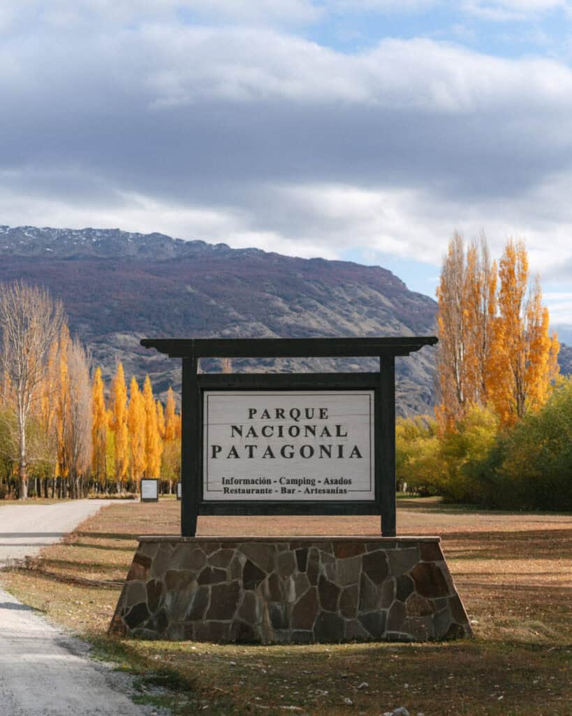
Say goodbye to Cochrane and push further north along the Carretera Austral. It’s not a long drive today before the next destination – Valle Chacabuco.
Another sector of Parque Nacional Patagonia, some people visit on day trips from Cochrane, but we absolutely adored this park and really believe it’s worth a few days, especially if you’re camping.
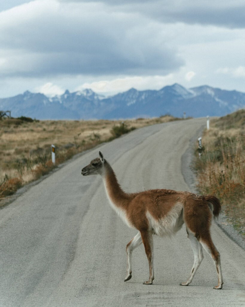
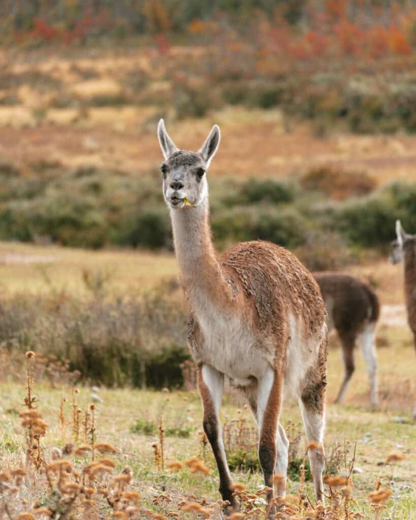
I was beyond excited to visit this national park for one reason: wildlife. It’s considered the best place in Patagonia to see pumas, there is a huge population of guanacos, and all other kinds of birds and mammals.
Well, the second we reached the turn-off on the highway, there were guanacos hanging out by the entry sign – I was chuffed!
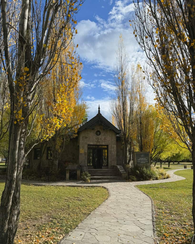
We rolled into park HQ to find one of the prettiest, most well-kept parks we have ever seen. The buildings were all grand stone lodges, the autumn colours were popping, and it was just so lovely.
The park is spread across the ~75 km (47 mi) X-83 road that runs all the way to the Argentine border. If you’re camping, there are three campsites spread along this road, so you can progressively get deeper and deeper into the park. If you need accommodation, the only option is the Explora Lodge.
We spent our first day exploring the area around ‘HQ’ as I’m calling it. We checked into Camping Los West Winds and were welcomed by a herd of guanacos grazing mere metres away from our camper.
Depending on what time you arrive, you can definitely squeeze in one, if not two, hikes.
The Sendero La Vega starts right from the campground (or lodge, it’s a loop), and is one of the best areas of the park to see pumas. Save this for late afternoon/early evening for the best chance of sighting a puma!
If you arrive early enough, you could also squeeze in the Laguna Cisnes trail.
WHERE TO STAY IN VALLE CHACABUCO
- ⛺️ Paid camp: Camping Los West Winds
- ⛺️ Paid camp: Camping Casa de Piedra
- ⛺️ Paid camp: Camping Alto Valle
- 💰💰💰 Explora Lodge
🦙 Read our complete guide to Valle Chacabuco for way more detailed information about the logistics of visiting the park. It’s quite complicated with campgrounds, trails and amenities spread far and wide!
Day 7: Deeper into the park
- 🚗 Driving time today: ~2 hours (78 km)
- 😴 Sleeping in: Parque Nacional Patagonia – Valle Chacabuco
We unfortunately had a very bad weather day during our time at Valle Chacabuco, so we spent a day in the car driving almost to the Argentine border and back.
The scenery in Parque Nacional Patagonia felt entirely different to anywhere else we’d visited in Patagonia so far, with huge rock formations soaring out of the valley and vast grasslands.
If we had more favourable weather, we would have chosen one of the hikes to do in the more distant parts of the sector.
My top choice was the Aviles Loop Trail, but the Mirador Douglas Tompkins and Lago Chico Circuit is also popular.
We could have moved to one of the other two campgrounds this night, but Alto Valle was closed, and Casa de Piedra is best suited to tents, not vehicles, so we drove back to Los West Winds for another evening.
WHERE TO STAY IN VALLE CHACABUCO
- ⛺️ Paid camp: Camping Los West Winds
- ⛺️ Paid camp: Camping Casa de Piedra
- ⛺️ Paid camp: Camping Alto Valle
- 💰💰💰 Explora Lodge
🦙 Read our complete guide to Valle Chacabuco for way more detailed information about the logistics of visiting the park. It’s quite complicated with campgrounds, trails and amenities spread far and wide!


Day 8: Hiking the Lagunas Altas
- 🚗 Driving time today: N/A
- 😴 Sleeping in: Parque Nacional Patagonia – Valle Chacabuco
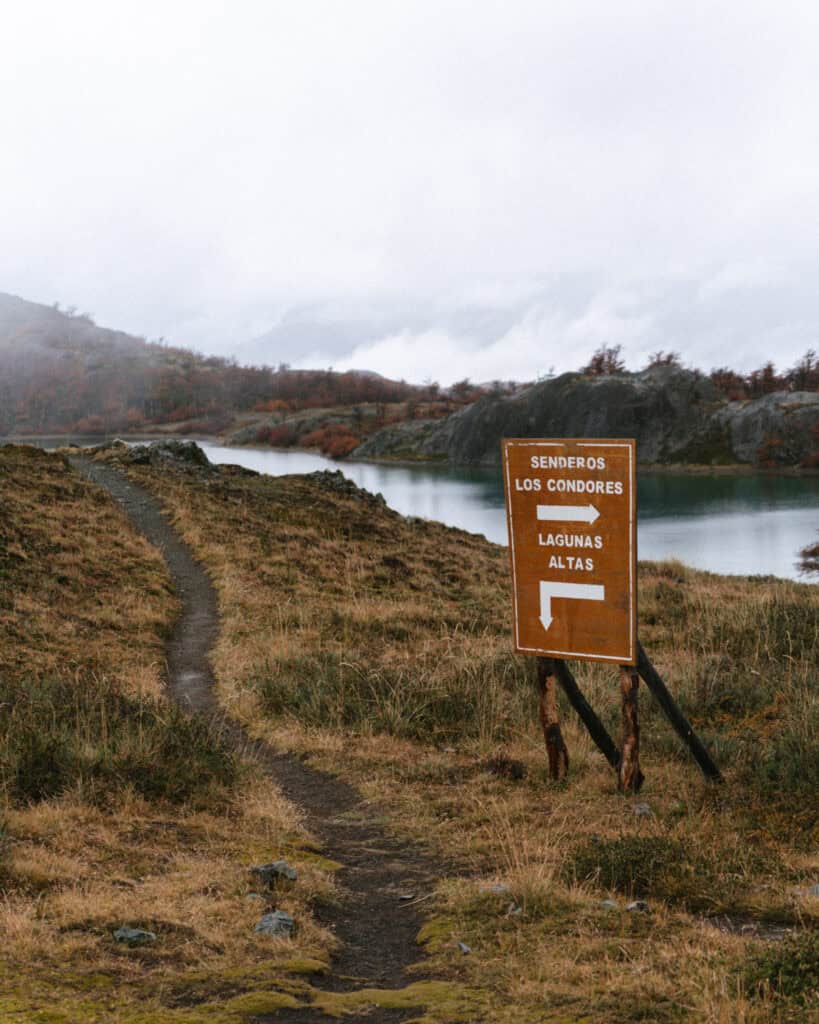
We made an early start to lace up our hiking boots and hit the most famous trail in this sector of the park – Sendero Lagunas Altas. This trail is accessible from Camping Los West Winds or the lodge.
The 20+ km (12+ mi) trail inclines steeply up the commanding rock face looming over the West Winds Campground, to spectacular alpine lagoons, thick forest and sweeping views over the park (on a clear day).
Guanaco sightings are almost guaranteed, if you’re lucky, there could be pumas, and there are plenty of birds to listen to and look out for.
The trail is a loop, but you should absolutely hike it anti-clockwise. This will take you up the steepest incline at the beginning over about 6 km, and once you peak, it’s mostly flat or downhill and becomes quite cruisy for the remaining 14 km.
This was an all-day undertaking, with stops for lunch and snacks along the way. Terrible weather slowed us down, and we hiked in a sea of fog and constant drizzle all day. We returned to our camper tired, soggy, but satisfied and slept like babies for our final night in the park.
WHERE TO STAY IN VALLE CHACABUCO
- ⛺️ Paid camp: Camping Los West Winds
- ⛺️ Paid camp: Camping Casa de Piedra
- ⛺️ Paid camp: Camping Alto Valle
- 💰💰💰 Explora Lodge
🦙 Read our complete guide to Valle Chacabuco for way more detailed information about the logistics of visiting the park. It’s quite complicated with campgrounds, trails and amenities spread far and wide!
Day 9: Puerto Rio Tranquilo and the Marble Caves
- 🚗 Driving time today: ~2 hours (108 km)
- 😴 Sleeping in: Puerto Rio Tranquilo
We woke up to a minblowing sunrise on our final morning in Parque Nacional Patagonia. The sky was streaked with all tones of pink, and we finally had a clear view of the snow-capped mountains surrounding the park. It was the perfect end to our magical time at Valle Chacabuco.
With my eyes carefully peeled for pumas, which we had unfortunately not sighted, we drove out of the park, reconnected to the Carretera Austral and headed north to our next stop.
We weren’t driving for long before we made our first pit stop at the Confluencia de Rios Baker y Neff. The point where the Rio Baker meets the Rio Neff.
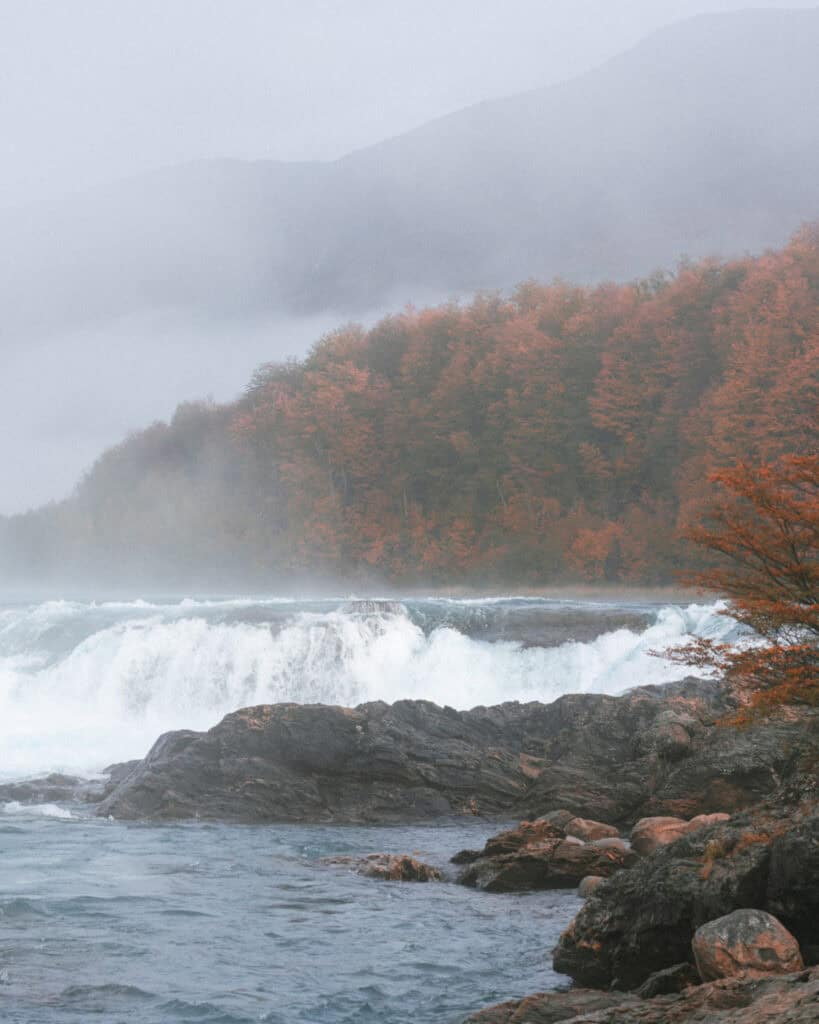
I told you you’d see the Rio Baker again! Its vibrant turquoise waters meet the milky grey Rio Neff, a glacier-fed river full of sediment, at a dramatic confluence at a curve in the river, where the Rio Baker picks up speed as it drops down a few small waterfalls and tumbles into a swirling cauldron, picking up the Rio Neff and continuing on its way.
There is a short trail along the side of the Carretera Austral, less than half an hour after you reconnect with the highway from Valle Chacabuco.
If you’ve got a clear weather day, I recommend driving straight to Puerto Marmol to organise a boat ride to the famous Marble Caves. An icon of the Carretera Austral, these natural marble formations on the shores of Chile’s largest lake, Lago General Carrera, are pretty special.
Centuries of crashing waves and roaring Patagonian winds have eroded and shaped these unique mineral formations. Marble formations soar out of the lake, caves and caverns are dotted along the shoreline, and there are beautiful patterns and shapes in the marble.
To see the formations, you need to take a boat or kayak tour. Puerto Marmol is the less common departure point, but it’s actually much closer to the formations than the dock in town, and given that it was on our way into Puerto Rio Tranquilo, we went straight here!
It was a bit overcast and windy, so we skipped the kayak tour, but on a clear summer day, this would be my ideal choice. The boat tour was beautiful, and it only takes about an hour.
We spent the afternoon wandering around the small town of Puerto Rio Tranquilo. It’s set right on the shores of the lake with a nice beach area (if you’re blessed with a warmer day than we were!).
We had a very noteworthy meal in town at La Fogata. A cosy restaurant with traditional Patagonian lamb cooked on a spit over an open fire. The BBQ is in the centre of the restaurant, so you get to watch the process, see the meat cooking on open coals and watch the chef expertly slice and serve the lamb.
WHERE TO STAY IN PUERTO RIO TRANQUILO
- 🏕️ Free camp: Car park on the lake
- ⛺️ Paid camp: Camping Pudu
- 💰 Rimaya Hostel
- 💰💰 Apart Home Costanera
- 💰💰💰 Chelenko Lodge
🧊 Read our complete Puerto Rio Tranquilo travel guide for more suggestions on things to do, restaurants, and other amenities you can expect to find in town


Day 10: Walking on ice at Glaciar Exploradores
- 🚗 Driving time today: N/A
- 😴 Sleeping in: Puerto Rio Tranquilo
Almost at the halfway point of our Carretera Austral road trip and more than a month spent in Patagonia so far, we’d seen a lot of glaciers. But we had resisted the urge to take any glacier tours, as we were saving ourselves for one glacier in particular – Glaciar Exploradores.
Located inside the Parque Nacional Laguna San Rafael and part of the Northern Patagonia Icefield, Glaciar Exploradores is one of the best glacier hiking experiences you can have in the region. The experience is much longer and much cheaper than its more popular southern counterparts (like Perito Moreno Glacier in Argentina), with far fewer other tourists around.
You must organise this tour in advance with a local operator.
We were up before dawn for a long drive into the park with our tour company, before finally starting our trek through the forest and out onto the ice. It was a truly epic experience for Australians like us, who’ve barely ever seen snow. Looking at ice caves, glacier lagoons, and the endless sea of ice was something special.
It’s a long day, and we returned to town tired and hungry.
If you’re not interested in a long hike on a glacier, the other very popular experience in Puerto Rio Tranquilo is sailing to the San Rafael Glacier, the namesake of the national park. It’s another all-day experience with a long drive into the park and a long boat ride deep into the lagoon, but the glacier looks absolutely incredible.
WHERE TO STAY IN PUERTO RIO TRANQUILO
- 🏕️ Free camp: Car park on the lake
- ⛺️ Paid camp: Camping Pudu
- 💰 Rimaya Hostel
- 💰💰 Apart Home Costanera
- 💰💰💰 Chelenko Lodge
🧊 Read our complete Puerto Rio Tranquilo travel guide for more suggestions on things to do, restaurants, and other amenities you can expect to find in town


Day 11: Hitting the pavement in Villa Cerro Castillo
- 🚗 Driving time today: ~2 hours (119 km)
- 😴 Sleeping in: Villa Cerro Castillo
Today started slower than usual, with a cheeky sleep-in and a slow morning catching up on some work.
We eventually hit the road heading north for our next stop, Villa Cerro Castillo. The drive takes around 2 hours, and I think this was one of the worst sections of the whole Carretera Austral.
It was unpaved, but deeply corrugated like nowhere else we had experienced, and it was almost 2 hours of constant bone-rattling bumps! But alas, just before we reached the town of Villa Cerro Castillo, we hit the pavement! From this point on, (most) of the road is paved!
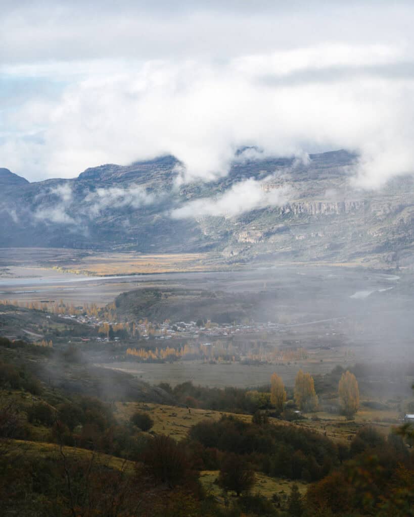
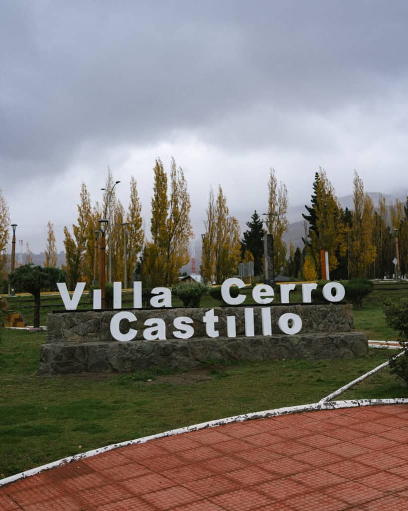
We rolled into the very tiny town of Villa Cerro Castillo in the pouring rain. The approach to town should have been filled with views of the jagged basalt peaks of Cerro Castillo, but we were unfortunately not so lucky.
We had lunch and a quick wander around town. There’s not much to it, but it’s worth checking out. Just on the outskirts of town is a set of ancient cave paintings, Paredón de las Manos, which are also worth a look.
If you’ve got the time, energy and/or inclination, you can organise a horse ride this afternoon with Calbagata Aventuras.
WHERE TO STAY IN VILLA CERRO CASTILLO
- 🏕️ Free camp: Along the Rio Ibañez
- ⛺️ Paid camp: Nordic Patagonia
- 💰 Quelen Patagonia
- 💰💰 OUTSCAPE Cabaña
- 💰💰💰 Alto Castillo Lodge
🏔️ Read our complete guide to Villa Cerro Castillo for more suggestions on things to do, restaurants, and other amenities you can expect to find in this tiny town
Day 12: Hiking Laguna Cerro Castillo
- 🚗 Driving time today: N/A
- 😴 Sleeping in: Villa Cerro Castillo
The main event in Villa Cerro Castillo is the eponymous national park. An up-and-coming hiking hub, the black basalt peaks of Cerro Castillo (Castle Hill) are comparable to the more popular peaks of the south, like Monte Fitz Roy in Argentina and Las Torres in Torres del Paine National Park.
There are several trails to hike in the park, including the multi-day Horquetas Circuit, but the most popular day hike is undoubtedly Laguna Cerro Castillo.
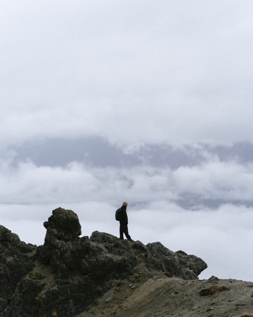
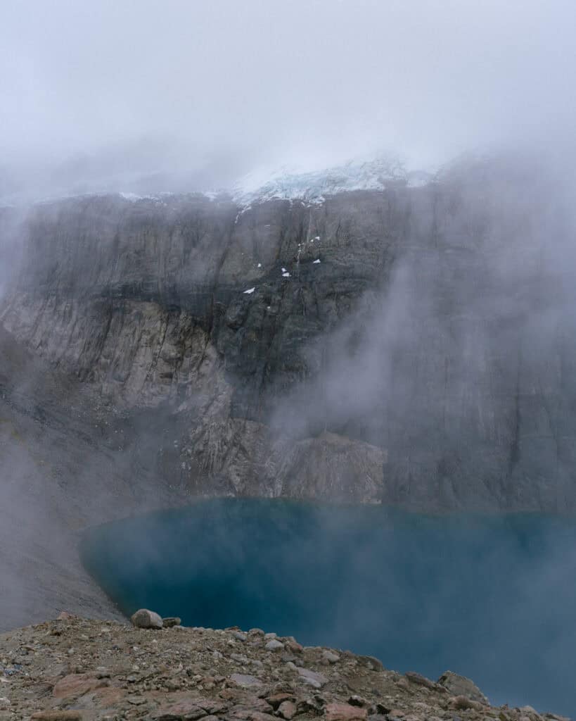
This is a tough hike, much tougher than we were expecting, considering it is only 13 km (8 mi). It is incredibly steep with a difficult slog up exposed scree at the finale, right before you peak and look down into the cobalt coloured lagoon, contrasted perfectly against the deep black spires.
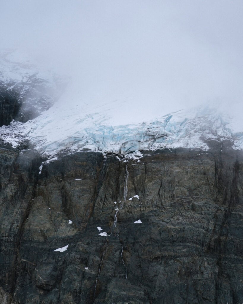
Well, that’s what you would see if you have a clear day. Unfortunately, we did not, and we had a very disappointing hike with little reward at the top. That’s Patagonia for you!
We got glimpses of the lake, the glacier, and a waterfall, with quick snatches of the rocky peaks. Enough to know how beautiful this scene should be, so definitely do not be discouraged.
We were absolutely knackered after the hike, and enjoyed a quiet, cosy night in our camper by the river.
WHERE TO STAY IN VILLA CERRO CASTILLO
- 🏕️ Free camp: Along the Rio Ibañez
- ⛺️ Paid camp: Nordic Patagonia
- 💰 Quelen Patagonia
- 💰💰 OUTSCAPE Cabaña
- 💰💰💰 Alto Castillo Lodge
🏔️ Read our complete guide to Villa Cerro Castillo for more suggestions on things to do, restaurants, and other amenities you can expect to find in this tiny town

Day 13: Checking out the capital
- 🚗 Driving time today: ~1.5 hours (95 km)
- 😴 Sleeping in: Coyhaique
After a quick and easy drive, we rolled into the capital of the Carretera Austral, Coyhaique.
This regional city was surprisingly big and had a lot more going on than we expected. It’s a very buzzing place with a population of almost 50,000 people – just a few more than the 500 we’d come from in Villa Cerro Castillo!
After weeks of camping, cooking and getting generally dirty and smelly, we used the city as a chance to clean ourselves, our clothes and the camper and restock on supplies. I thoroughly enjoyed wandering the aisles of Unimarc, the biggest supermarket we’d encountered for a while, and using a washing machine to clean our muddy, stinky hiking clothes.
We spent a lovely, sunny day strolling around the city, checking out the main plaza, looking out for street art, and wandering down to the waterfront overlooking the Rio Simpson.
Oh, and don’t forget eating! There are tons of great cafes, restaurants and breweries in Coyhaique, and we, of course, took the chance to treat ourselves after the less-than-inspiring food the rest of the highway has to offer.
WHERE TO STAY IN COYHAIQUE
- 🏕️ Free camp: No great options
- ⛺️ Paid camp: El Camping
- 💰 Patagon Backpackers
- 💰💰 Cabaña & Tinaja Ruta 657
- 💰💰💰 NÓMADES Hotel Boutique
🍝 Read our Coyhaique travel guide for our restaurant reccos, more suggestions on things to do and other amenities you can expect to find in this surprisingly large city


Day 14: A day in Coyhaique
- 🚗 Driving time today: N/A
- 😴 Sleeping in: Coyhaique
We spent today resting and catching up on work, eating and drinking around the city and doing not too much of anything! It was a much-needed slow / admin day.
However, there are plenty of things to do in and around Coyhaique if you don’t need a break!
Our Coyhaique travel guide has a lot more recommendations, but you might like to spend today:
- Hiking the trails in the Reserva Nacional Coyhaique
- Climbing or hiking Cerro Mackay (the huge granite mass looming over the city!)
- Drive towards Puerto Chacabuco with stops at the Reserva Nacional Rio Simpson and Cascada La Virgen
Enjoy a final nice meal in the city before you head back into more far-flung areas of the Carretera Austral.
WHERE TO STAY IN COYHAIQUE
- 🏕️ Free camp: No great options
- ⛺️ Paid camp: El Camping
- 💰 Patagon Backpackers
- 💰💰 Cabaña & Tinaja Ruta 657
- 💰💰💰 NÓMADES Hotel Boutique
🍝 Read our Coyhaique travel guide for our restaurant reccos, more suggestions on things to do and other amenities you can expect to find in this surprisingly large city


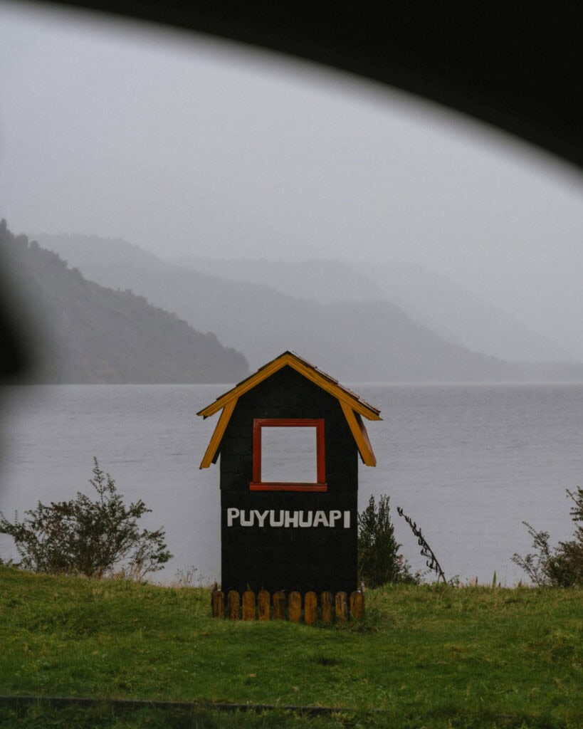
Day 15: Fairytale forest in Puyuhuapi
- 🚗 Driving time today: ~3.5 hours (220 km)
- 😴 Sleeping in: Puyuhuapi
Today was one of the longest drives we had.
There is a slightly quicker option that uses the paved road to Puerto Aysen, Ruta 240, before reconnecting with the Carretera Austral. But my mission was to drive the entire highway from end to end, so we followed Ruta 7 via Villa Ortega, which included a short unpaved section.
The golden autumn colours and rocky landscapes gave way to the lush, green Valdivian forest as we approached Puyuhuapi, driving through the southern section of Parque Nacional Queulat.
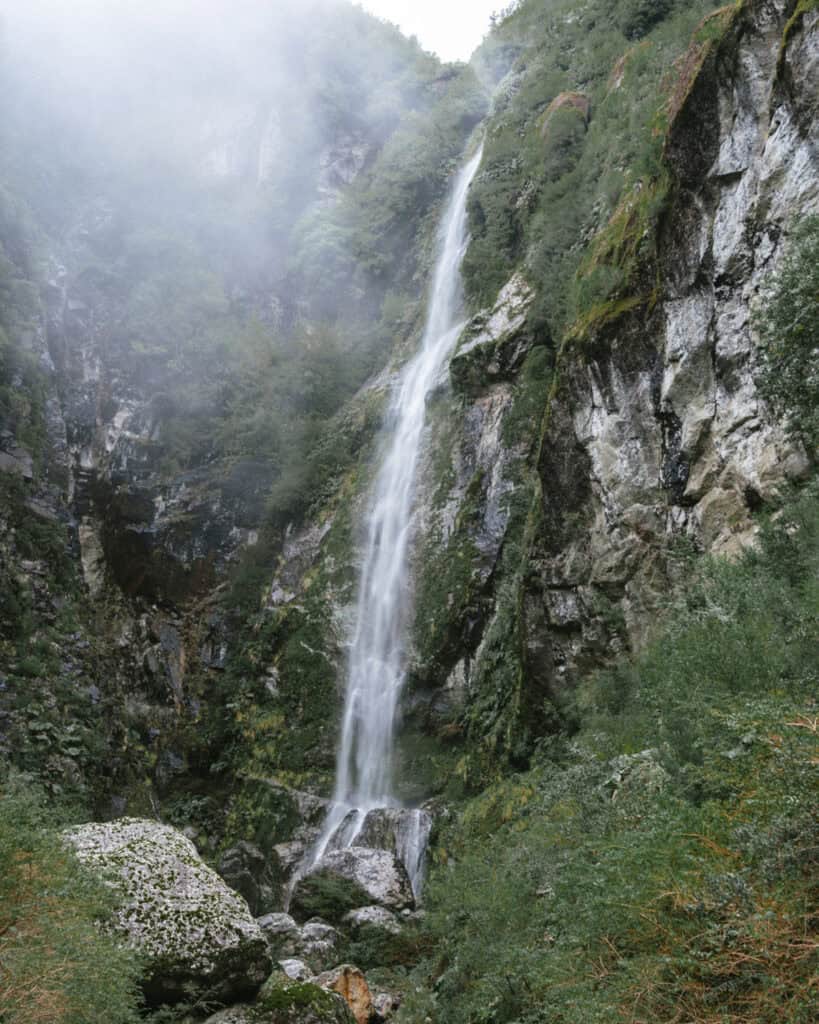
Don’t forget to stop at Salto El Condor and Salto Padre Garcia on the way, two FREE waterfalls on the roadside.
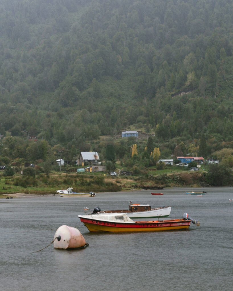
Driving along the edge of the Puyuhuapi Fjord as we approached town was gorgeous. The bad weather actually seemed fitting, with mist hanging over the forest and the constant drizzle creating a moody vibe.
If you want to soak in some hot springs, I would recommend organising a visit to Termas Ventisquero before arriving in town, as they are on the way.
Puyuhuapi is a tiny town that doesn’t take long to explore. If you’ve got nicer weather than we did, rent a kayak from Experiencia Austral to explore the fjord, and/or hike up Mirador Los Canelos.
WHERE TO STAY IN PUYUHUAPI
- 🏕️ Free camp: By the fjord
- ⛺️ Paid camp: Camping La Sirena
- 💰 Hostal Robinson
- 💰💰 Cabanas Senderos Puyuhuapi
- 💰💰💰 Puyuhuapi Lodge & Spa
❄️ Read our complete guide to Puyuhuapi for more suggestions on things to do, restaurants and other amenities in this lovely town on the fjord
Day 16: Hanging glaciers at Queulat National Park
- 🚗 Driving time today: ~1 hour (48 km)
- 😴 Sleeping in: Puyuhuapi
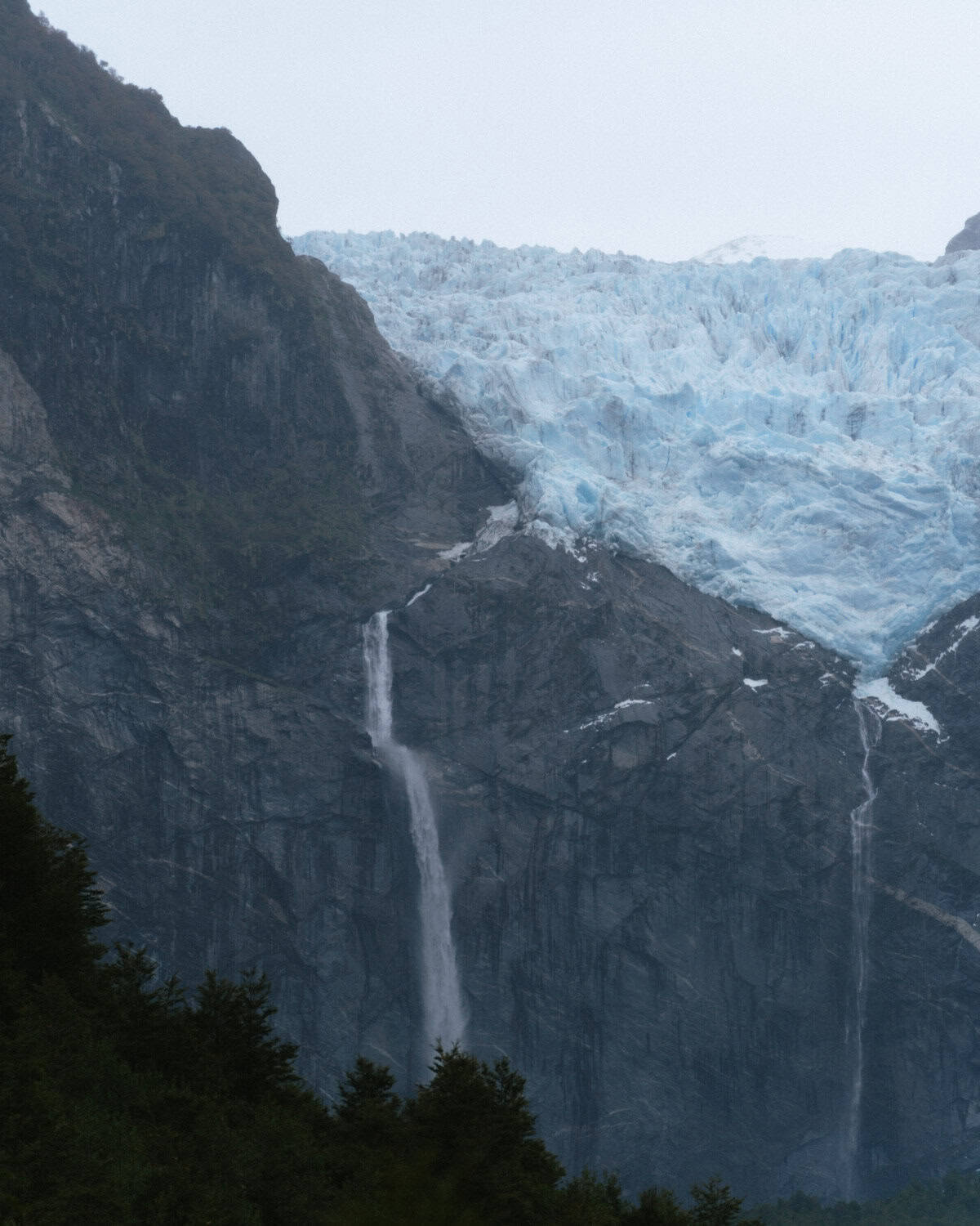
Time to see one of the most famous icons of the Carretera Austral – the Ventisquero Colgante de Queulat, aka the Hanging Glacier in Queulat National Park.
The blue glacier is suspended inside a rocky cliff face, with a thundering waterfall of glacier melt tumbling into the lagoon below, often shrouded in an atmospheric mist. It really is a sight to behold.
You must purchase your tickets for the national park online in advance! You cannot buy them at the gate, and there is no phone service or wifi, so be prepared.
There are several ways you can get a good look at the glacier. If you’ve got the ability, the 6.6 km (4.1 mi) Sendero Mirador Ventisquero Colgante is the best option. You can also take a boat ride across the Tempanos Lagoon.
💡 The national park is a short backtrack south along the Carretera Austral from Puyuhuapi (~ 30 minutes each way). If you leave Coyhaique early enough on day 15, you could plan to visit the park before arriving in town. We figured the short trip south again wasn’t a major issue, allowing plenty of time in the park without rushing. Plus, the drive is beautiful!
WHERE TO STAY IN PUYUHUAPI
- 🏕️ Free camp: By the fjord
- ⛺️ Paid camp: Camping La Sirena
- 💰 Hostal Robinson
- 💰💰 Cabanas Senderos Puyuhuapi
- 💰💰💰 Puyuhuapi Lodge & Spa
❄️ Read our complete guide to Puyuhuapi for more suggestions on things to do, restaurants and other amenities in this lovely town on the fjord
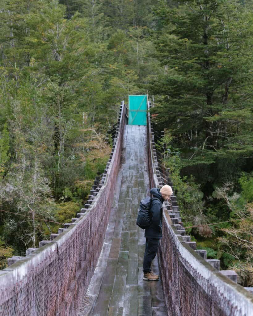

Day 17: Ventisquero Yelcho
- 🚗 Driving time today: ~2.5 hours (188 km)
- 😴 Sleeping in: Chaiten
We said goodbye to Puyuhuapi and continued north, deeper into the green forest. We kept our hiking boots firmly laced for a pit stop at Ventisquero Yelcho, the only land access to Corcovado National Park.
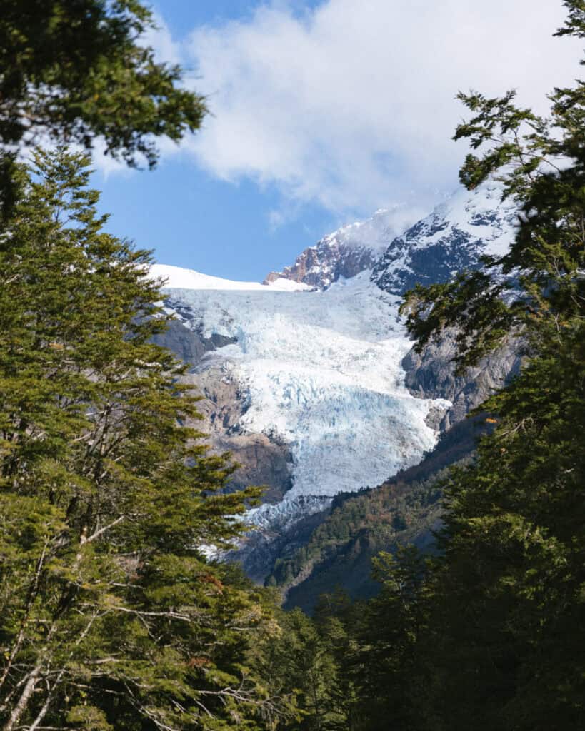
There is a free and flat 6.1 km (3.8 mi) trail through a beautiful forest to a lookout point of the Yelcho Glacier. It’s a worthy stop, and one of the only low-effort, high-reward trails in this region!
We made the most of a beautiful sunny day and made another pit stop en route to Chaiten at the El Amarillo Sector of Pumalin National Park. There are some excellent long-distance hikes here that would need an entire day or an overnight stay at one of the campgrounds, but unfortunately, they were closed when we visited.
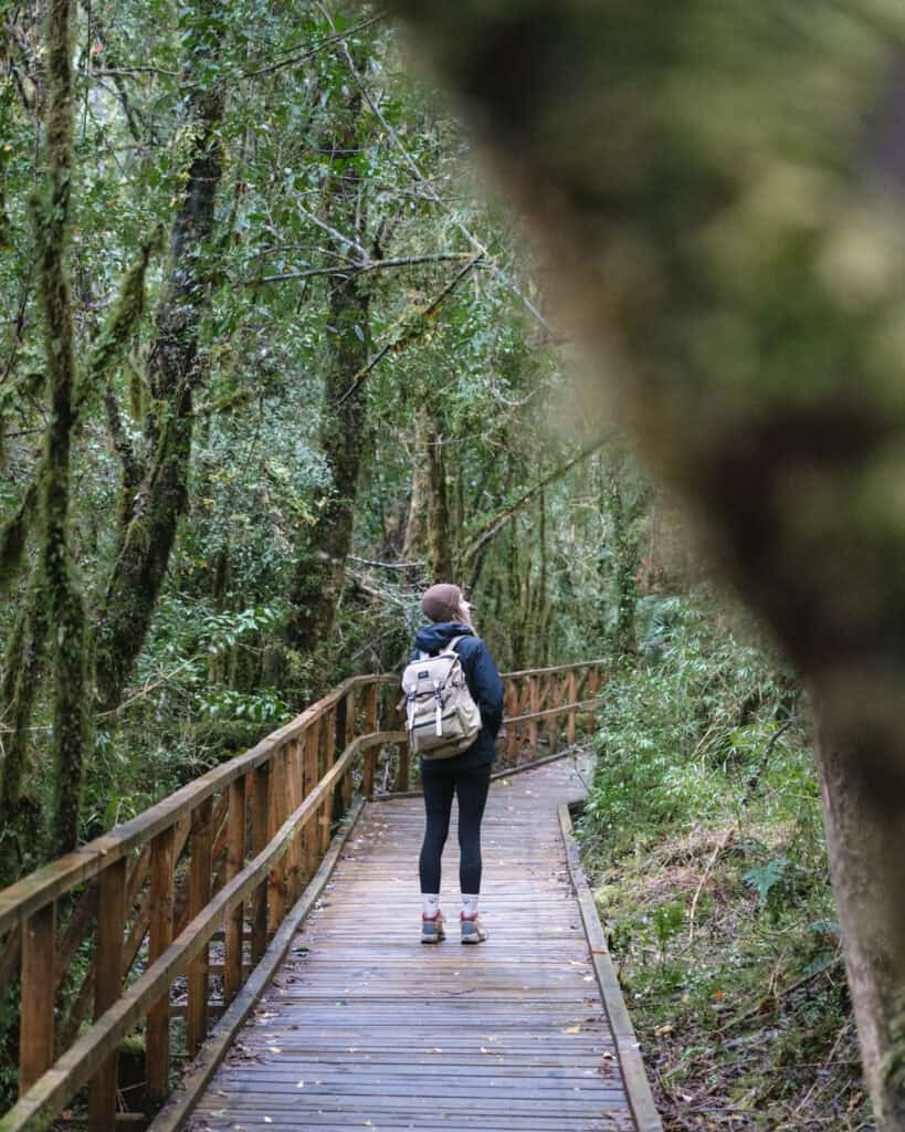
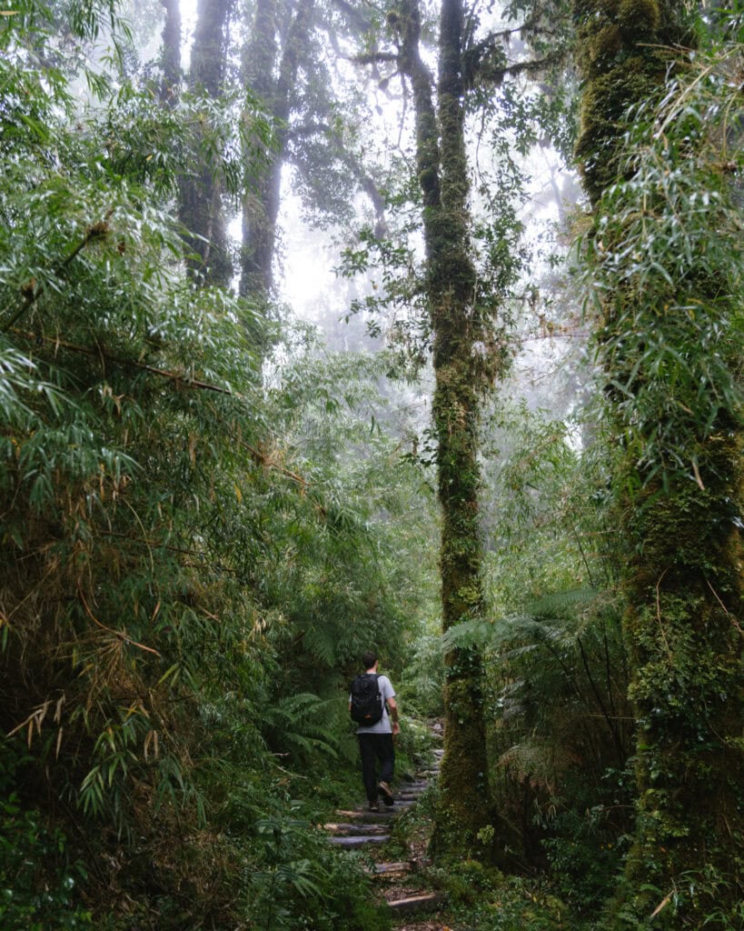
We opted for the shorter Sendero Ranita de Darwin, which was the perfect intro to the dense Valdivian forest the park is known for, with moss, mushrooms and magical trees that felt like they belonged in a fairy garden.
💡 If you’re camping, you might like to plan your time in Chaiten/Pumalin National Park a little differently. The El Amarillo Sector of the park is south of Chaiten, so depending on the trails you choose to hike, you might want to spend your first night here before continuing north to Chaiten town or other campgrounds in the Caleta Gonzalo Sector north of town. Our Pumalin National Park guide has all the details to piece together your plans.
We rolled into Chaiten with enough time to wander around the small centro and get acquainted with the town that almost disappeared after the unexpected eruption of Volcan Chaiten in 2008.
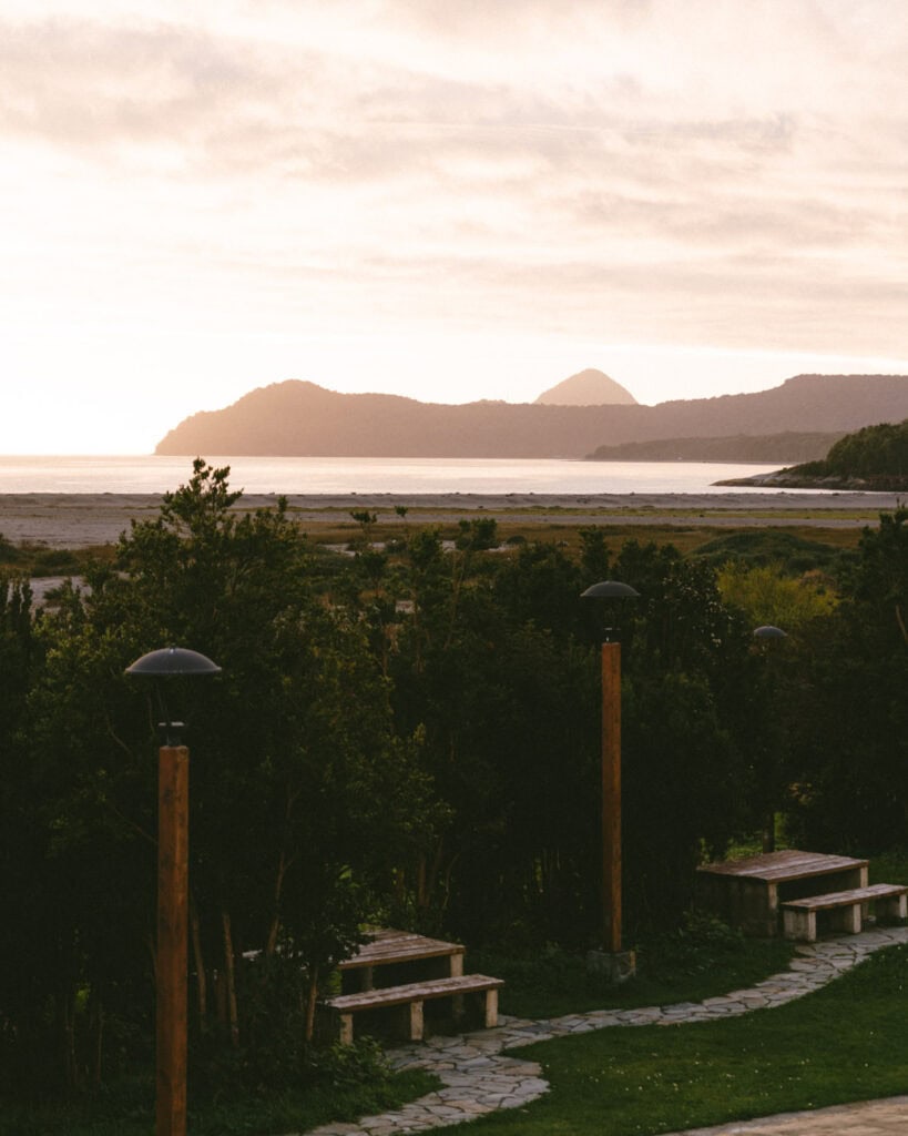
After grabbing some beers, we beelined down to the coast to catch a gorgeous sunset over the water, absolutely beaming after a day full of hiking, sunshine and raw Patagonian nature.
We weren’t blessed with a clear day, but if you are, keep your eyes open for the jagged peak of Volcán Corcovado to the south.
WHERE TO STAY IN CHAITEN
- 🏕️ Free camp: On the coast
- ⛺️ Paid camp: Camping La Carretera / Pumalin National Park campsites
- 💰 Verdeagua Hostal
- 💰💰 Chucao Bosque y Cabañas
- 💰💰💰 Cabañas Parque Michimahuida
🌋 Read our detailed Chaiten travel guide for more suggestions on things to do, best restaurants and cafes and other amenities in this coastal town
Day 18: Pumalin National Park part one
- 🚗 Driving time today: < 1 hour (48 km)
- 😴 Sleeping in: Chaiten
Today is all about the Pumalin National Park! There are close to a dozen trails in the park, but we didn’t have the time (or energy!) for all of them.
The trailheads are spread along an ~ 80 km (50 mi) stretch of the Carretera Austral, north and south of Chaiten, and unless you’re planning to camp inside the park, you will have a few unavoidable trips up and down the highway going from town to the park and back.
We woke with some bad weather, so we had a pretty slow morning waiting for the skies to clear. We needed the cloud and fog to blow away so we could get the views we were hoping for on today’s hike…
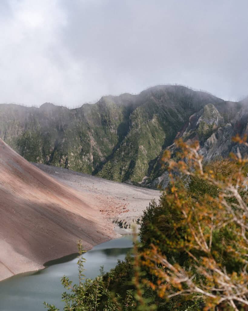
The Sendero Volcan Chaiten. Probably the most popular hike in the park, the opportunity to hike up the still-active volcano that nearly left Chaiten a ghost town is a special experience.
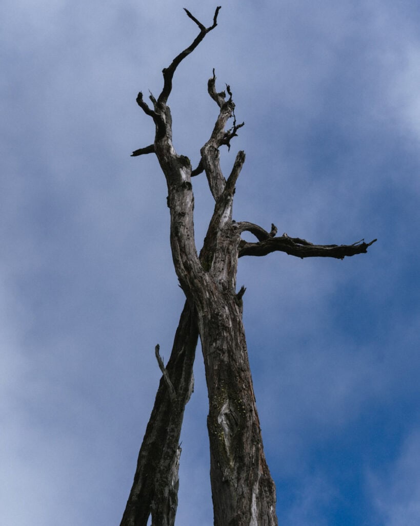
It was crazy to be hiking through a lush forest one minute, with virtually no evidence of the destruction that occurred here, only to be wandering through a graveyard of trees and staring down into a steaming crater the next.
Despite only being 4.7 km (2.9 mi), this is a pretty tough hike, with a steep ascent. We were well knackered afterwards!
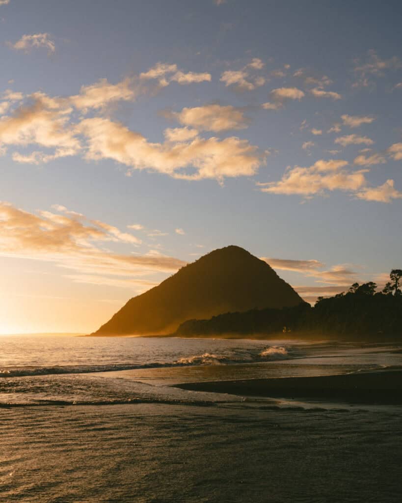
The gorgeous Playa Santa Barbara was the perfect place to spend a lazy arvo. It’s a black sand beach just north of Chaiten, with stunning views, dolphins and sea lions offshore and the perfect sunset vantage point.
If you have more energy than we did, you can organise to go sea kayaking out to a sea lion colony with Natour. We were happy setting up our chairs on the sand and sharing a bottle of wine as the sun went down.
WHERE TO STAY IN CHAITEN
- 🏕️ Free camp: On the coast
- ⛺️ Paid camp: Camping La Carretera / Pumalin National Park campsites
- 💰 Verdeagua Hostal
- 💰💰 Chucao Bosque y Cabañas
- 💰💰💰 Cabañas Parque Michimahuida
🌋 Read our detailed Chaiten travel guide for more suggestions on things to do, best restaurants and cafes and other amenities in this coastal town
Day 19: Pumalin National Park part two
- 🚗 Driving time today: ~1 – 2 hours (56 km)
- 😴 Sleeping in: Chaiten or Caleta Gonzalo area
Our second day in the park was a combination of several smaller trails in the Caleta Gonzalo Sector north of Chaiten.
We made a quick pit stop at the very short but beautiful Sendero Lago Negro before continuing onto the main trail of today, the Sendero Cascadas Escondidas.
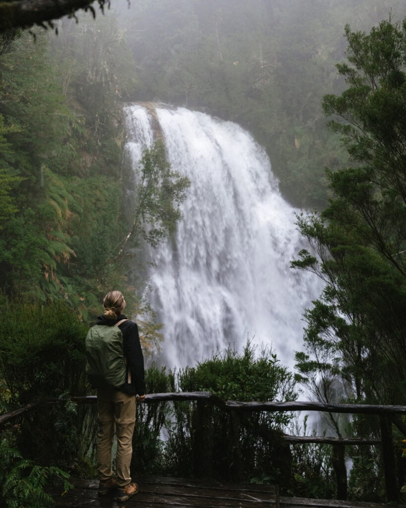
We had quite poor weather, but waterfalls and moist forest are the place to be on a drizzly day, and the bad weather actually added the best moody vibe to our hike! The waterfalls blew us away.
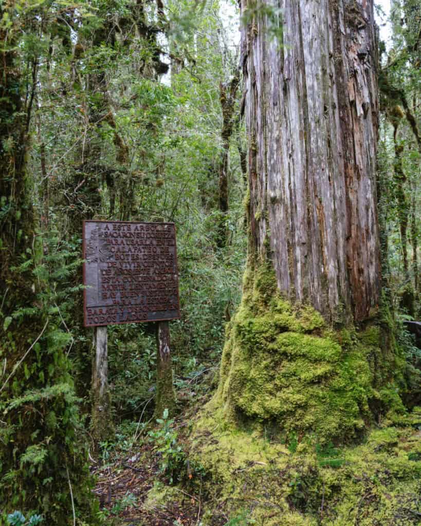
We moved on to a short but very special trail, Sendero Los Alerces, showcasing the giant, thousand-year-old alerce trees before driving onwards to Caleta Gonzalo, which is where the highway ends. There is another short trail here, the Sendero Mirador Caleta Gonzalo.
If you’re camping, I would suggest ending your day here and camping around Caleta Gonzalo, so you don’t need to return to town and backtrack tomorrow for the ferry. If you aren’t camping, there is a lodge here, Lodge Caleta Gonzalo, so you might like to arrange to move accommodation for your final night in the park to avoid a bumpy ~1 hour drive back to Chaiten, only to wake up tomorrow morning and do it all again.
WHERE TO STAY IN CHAITEN
- 🏕️ Free camp: On the coast
- ⛺️ Paid camp: Camping La Carretera / Pumalin National Park campsites
- 💰 Verdeagua Hostal
- 💰💰 Chucao Bosque y Cabañas
- 💰💰💰 Cabañas Parque Michimahuida
🌋 Read our detailed Chaiten travel guide for more suggestions on things to do, best restaurants and cafes and other amenities in this coastal town
Day 20: Ferry to Hornopiren
- 🚗 Driving time today: < 1 hour (56 km) + ~4 – 5 hour ferry
- 😴 Sleeping in: Chaiten or Caleta Gonzalo area
The highway ends at Caleta Gonzalo (literally, it runs into a fjord!) and the only way to continue is via ferry. If you stayed in this area last night, you’ll be right at the ferry dock. If you went back to Chaiten, you’ll have a ~1 hour (56 km) drive this morning.
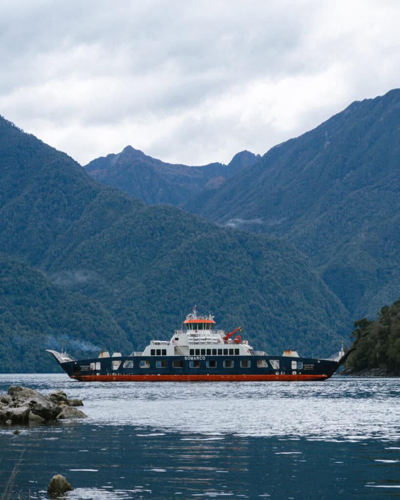
The SOMARCO barge from Caleta Gonzalo – Hornopiren is your ticket across the Comau (aka Leptutu Fjord). You must book it online in advance. Their website is user-friendly and shows live availability. It runs year-round, every day.
This route is booked as one trip, but it actually involves two ferries and a short drive in the middle. They call it a ‘bi-modal route’.
We boarded the ferry in Caleta Gonzalo for a ~45-minute trip across Fiordo Largo. This boat docks, and then we drove in a convoy for around 15 minutes across a narrow finger of forested land to the next dock, Leptutu. We boarded a different boat, and from here it’s a 3 – 4 hour journey across the fjord to Hornopiren.
It absolutely bucketed down the entire journey, so what should have been a very scenic trip through forested fjords with possible dolphin sightings was a soggy affair tucked up in our camper.
We drove off the ferry in the dark in the early evening in Hornopiren, still absolutely bucketing down and headed straight for the best restaurant in town – Morchella Patagonia Norte.
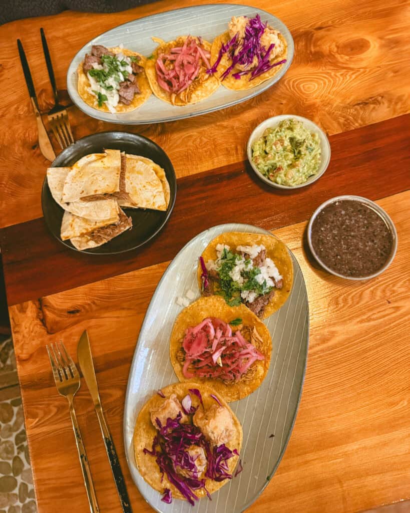
It was the best meal we had during our 2 months in Patagonia. They offer a bit of Mexican (with Mexican chefs), a bit of Chilean, a bit of fusion, and everything we tried was delicious.
The taco platter tasted just like Mexico, the margaritas were excellent, and the ‘Pesca Austral’, a fish in lemon cream sauce, was like nothing we’ve tasted. The fire was roaring, the vibes were good, and it was the perfect place to spend a very wet evening.
WHERE TO STAY IN HORNOPIREN
- 🏕️ Free camp: By the river
- ⛺️ Paid camp: Camping El Cobre
- 💰 Cabañas Tampier Hornopiren
- 💰💰 Cabañas & Tinajas Entre Volcanes
- 💰💰💰 Entre Montañas
🌿 Read our travel guide to Hornopiren for more suggestions on things to do, info about the national park, the best restaurants and other amenities in this moody fjord town
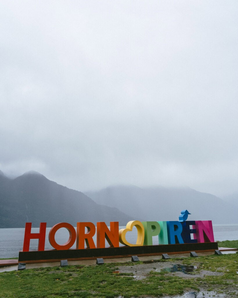
Day 21: Hornopiren National Park and hot springs
- 🚗 Driving time today: ~1 hour (38 km)
- 😴 Sleeping in: Hornopiren
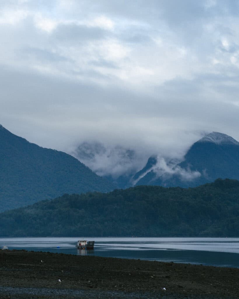
The weather did not play ball with us in Hornopiren, so our best intentions were waylaid a little. If we had a better day, this is how I would have spent it…
Stroll around the town and the waterfront in the morning. It’s small but cute, like most of the towns on the Carretera Austral, with gorgeous views over the fjord. Keep an eye out for dolphins or sea lions splashing around, and be sure to look up at the jagged peaks of Volcan Hornopiren and Volcan Yates looming over town.
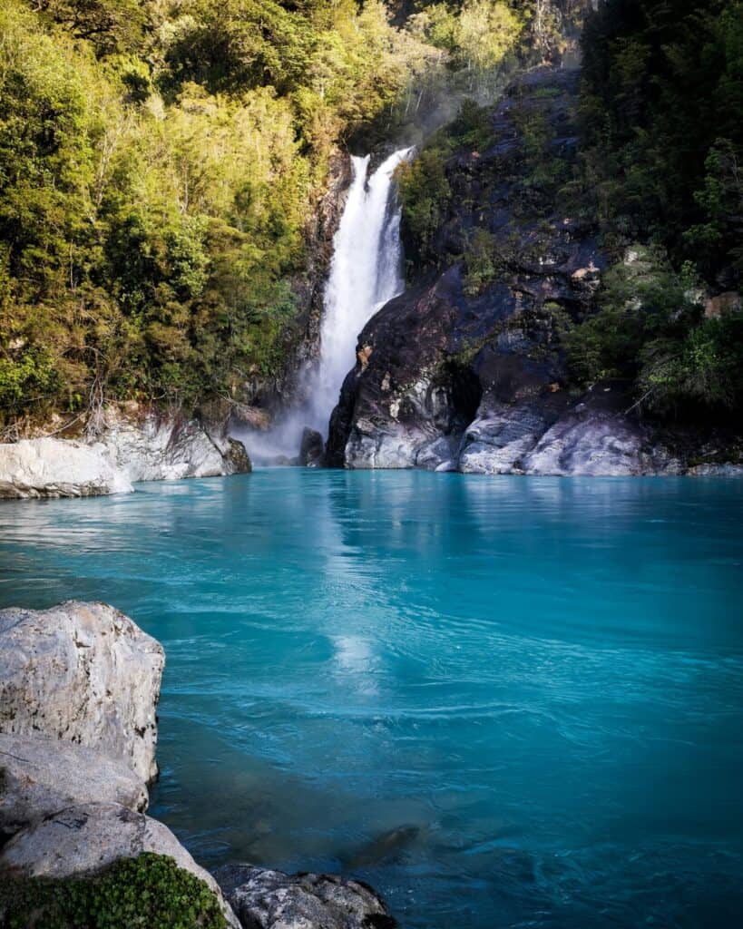
The Hornopiren National Park isn’t exactly the easiest park to visit, but with one day, you definitely want to hike to Cascada Rio Blanco. After paying a small entry fee to a private landowner, it’s a relatively flat 9.3 km (5.8 mi) return trail to a gorgeous waterfall in a vibrant blue river.
Spend your afternoon soaking in the gorgeous hot springs at Termas de Pichicolo. Surrounded by forest and the Rio Pichicolo, it’s a lovely natural setting and a failsafe activity whether it’s a perfect or rainy day.
I’ll let you decide if you need a second visit to Morchella tonight…
WHERE TO STAY IN HORNOPIREN
- 🏕️ Free camp: By the river
- ⛺️ Paid camp: Camping El Cobre
- 💰 Cabañas Tampier Hornopiren
- 💰💰 Cabañas & Tinajas Entre Volcanes
- 💰💰💰 Entre Montañas
🌿 Read our travel guide to Hornopiren for more suggestions on things to do, info about the national park, the best restaurants and other amenities in this moody fjord town

Day 22: Finishing the highway in Puerto Montt
- 🚗 Driving time today: ~2.5 hours (122 km)
- 😴 Sleeping in: Puerto Montt or Puerto Varas (recommended)
Today marked the final day of our epic three-week Carretera Austral road trip, but the adventure wasn’t over quite yet.
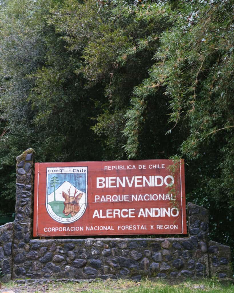
We made an early start from Hornopiren as we had a beautiful pit stop along the way at Alerce Andino National Park.
First, we had to navigate one final ferry, in what felt like a fitting cherry on top of our time on the Carretera Austral. Luckily, this is a pretty quick one, crossing the Estero Reloncavi, with no need to book in advance.
The official route is Caleta Puelche – Caleta La Arena. It is run by Transportes del Estuario, with departures every single day of the year, usually every hour, 24 hours a day. There is no need to book your ticket in advance. It’s first in best dressed, and you just pay for your ticket in line before you board. The trip takes approximately 30 minutes.
The Alerce Andino National Park was another gorgeous example of Valdivian forest, with ancient alerce trees, rivers and waterfalls. It’s the Chaicas Sector you want to visit, and the 7.7 km (4.8 mi) Sendero Salto Rio Chaicas is the best trail to do.
While I was a little excited to get back into some civilisation, these feelings quickly vanished as we rolled into the ‘big city’ at Puerto Montt, full of traffic, seedy-looking people and ugly highrises, and we immediately wanted to turn back around and escape to nature again!
We planned to stop in the city to get a photo of the sign marking the start of the Carretera Austral, but after a quick drive-by, we realised it was an enormous let-down and there was nothing about the city that enticed us to stay. I took a rolling photo from the car, and we got out of there as quickly as we could.
A lot of people had mentioned to us previously that Puerto Montt frankly sucked. It’s not really a nice city, and compared to the beautiful nature surrounding it in all directions, we decided not to waste any time here.
We saw the sign, officially ticked off the entire Carretera Austral from south to north, and pushed on to a much nicer destination, Puerto Varas, for the next chapter of our Patagonia itinerary.
If this marks the end of your time in the region, Puerto Montt has a busy airport and a long-distance bus terminal to northern destinations and across the border to Argentina.
Tips for your Carretera Austral road trip
- 🗺️ Download Google Maps in advance: there was more phone service than I expected in the towns, but there is very little when you’re driving between places. You can’t really get too lost as you’re driving on one highway the entire time, but best to pre-download your map.
- ⛽️ Always fill up when you see a petrol station: there were more COPEC fuel stations than I expected spread along the Carretera Austral, but it’s best practice to fill up whenever you see one. It’s not uncommon that some of the more remote towns run out of fuel, or some stations only have diesel, not unleaded or vice versa. We never really let our tank get below half and made it a habit to always fill up when we passed one.
- 📏 Double the suggested travel times: the times that Google Maps gives you (and what I’ve included here) are rarely accurate. You will be driving much slower than you think, especially on the southern half of the highway (Villa Cerro Castillo – Villa O’Higgins) where it is almost entirely unpaved. Plus you will be stopping A LOT to soak up the epic views and take photos.
- 📱 iOverlander is your bestie: whether you’re camping or not, you should download the app iOverlander. Designed for overland travellers, it is a community-updated resource of campsites, petrol stations, toilets, showers, water points, transport terminals, border crossings and basically any other traveller amenity you can think of. People ‘check in’ and leave dated reviews, and we often found it the best resource for getting the latest ferry times, info on national park closures, etc.
- ⏰ Don’t rely on things being open: like restaurants, supermarkets etc. Google Maps hours are often wildly incorrect and not adhered to, and it can be very disappointing when you’ve made plans based on them. For example, rolling into a very tiny town after a long day of driving only to find that the one decent restaurant that Google said was open has its door locked and lights off. This is a reality in these small, remote towns, especially if you’re visiting in shoulder season (November and April). Always have a plan B, and a throw together meal and snacks in your vehicle. Never let your food supplies run entirely low, even if it’s packet mac and cheese!
- 🏕️ Camp between destinations: if you’re travelling the Carretera Austral with a camper, van or even a tent, don’t feel like you need to stay in the towns. For ease of the itinerary, I made suggestions for towns to stay in each night, but a lot of the time we would actually drive a short way between destinations and find somewhere beautiful to park up for the night. If you’ve finished your activity for the day and you’ve got some light left, you will often find nicer and more quieter camp spots away from the towns. This is a bit trickier if you need accommodation as there is very little around outside of the towns!
- ☔️ Be flexible and cater for bad weather days: the itinerary I’ve shared here is a best case scenario. It’s what we would have done had everything gone to plan. Spoiler: it often didn’t. A lot of our days ended up being jam packed, squeezing in multiple trails and activities from dusk – dawn if we had a good weather day. To make up for the fact that the following day was spent confined to the camper in torrential rain. This is Patagonia and the weather is unpredictable at all times of the year, especially in the north (from around Puyuhuapi – Puerto Montt), which is an incredibly moist environment and some of the wettest parts of Chile.
- 🛒 Stock up in the bigger towns: if you’re camping and/or self-catering, it’s a good idea to stock up on food in the bigger towns. This would be Puerto Montt in the south, Coyhaique in the middle, and Puerto Natales or Punta Arenas in the south, if you’re taking the TABSA Ferry to start/end your road trip. These are the only places you’ll find Unimarc supermarkets, one of Chile’s major supermarket chains. There are supermarkets in smaller towns, and we were quite surprised by the variety and selection, even in the most remote places. However, the prices are much higher, and availability is not guaranteed. It’s best to do 1 – 2 big grocery hauls of all your non-perishables.
Whether you’re self-catering or not, these towns are the only places you’ll (easily) find laundries, phone stores, any kind of department stores, gear shops, etc., so try to think if there is anything you need while you’re here, because there’s not too much outside of these ‘cities’!


Save hours planning your Carretera Austral road trip with our Handbook + Custom Map

Carretera Austral road trip: Final thoughts
Our Carretera Austral road trip was an epic adventure for the ages. I still pinch myself that we got to see those places, so remote and far-flung from anywhere else in the world.
When visiting these tiny towns in the middle of nowhere, you might wonder how people can live there, so detached from everywhere else. But once you experience the raw nature and the all-encompassing sense of peace you will feel in a place like this, it’s not hard to see why people choose to settle here!
I hope our Carretera Austral road trip itinerary has helped plan your own travels in this region of Patagonia. Whether you stick to our route and day-to-day plan exactly, or use this as a base to tweak and fit into your broader Patagonia plans.
If you’re looking for the ultimate Carretera Austral planning guide, please check out my eBook. It’s got everything I know about the highway in one place, that you can download once and have available offline while you’re on the highway!
MORE CARRETERA AUSTRAL POSTS
- Camping on the Carretera Austral, Chile: Our Tips & Tricks
- Camper Travel Chile 4×4 Camper Review: Our Experience
- Carretera Austral Ferries Guide: Mandatory + Optional Routes
- TABSA Ferry: Sailing from Puerto Natales to Puerto Yungay


The Comments
jacques
Excelente estou planejando ir de moto para fazer a Carretera com minha esposa e as dicas de pontos turisticos, etc, de forma organizada foram excelentes. Valeu. Obrigado. Abraço.
Sally Rodrick
jacquesI’m so glad it was helpful Jacques, you’re going to have a wonderful adventure! Enjoy 🙂 Sally
Nick
A very practical guide. Fascinating that the only times you mention the humans who actually live here are the “seedy-looking” residents of Puerto Montt and wondering how people could possibly live “so detached from everywhere else.” Hopeful to visit before it is overrun with professional “travelers”!
Sally Rodrick
NickWe really didn’t see that many humans at all to be honest, local or tourist, haha! I think a lot of that was down to the fact that we visited at the tail end of the season (April) so most of the tourists had cleared out. The towns are very small, but the locals (when you see them) are incredibly friendly. It’s mostly gauchos and farmers, and everyone is very warm and relaxed – their Spanish is just near-impossible to understand haha! Enjoy it, it’s a very special part of the world.