This article contains affiliate links that may earn me a small commission at no extra cost to you. As an Amazon Associate, I earn from qualifying purchases. For more information, see our affiliate disclaimer.
Hornopiren was almost the end of the line for us, travelling north along the Carretera Austral. If you’re travelling south, this is just the beginning!
It’s a cosy little village in the most dramatic setting, right on the fjord with dolphins jumping around, jagged volcanoes looming over the town and green forest spilling down the slopes of the mountains.
No matter which direction you’re coming from, you’ll need to board a ferry to get here. Surrounded by a maze of waterways, you really feel the remoteness of this part of the world, where the map points the highway into the ocean.
Hornopiren is surrounded by lush, Valdivian forest, ancient alerce trees, rivers, waterfalls, hot springs and two volcanoes. Exploring the region and the eponymous national park is easier said than done, as the visitor infrastructure isn’t as developed as other parts of the Carretera Austral.
But with an adventurous spirit and a little bit of extra effort, you’ll discover some of Northern Patagonia’s most beautiful and untouched nature.
In this post, I’ll share as much information as I could uncover about Hornopiren, including things to do, where to stay and eat, how to get there and around, and amenities in town.

About Hornopiren
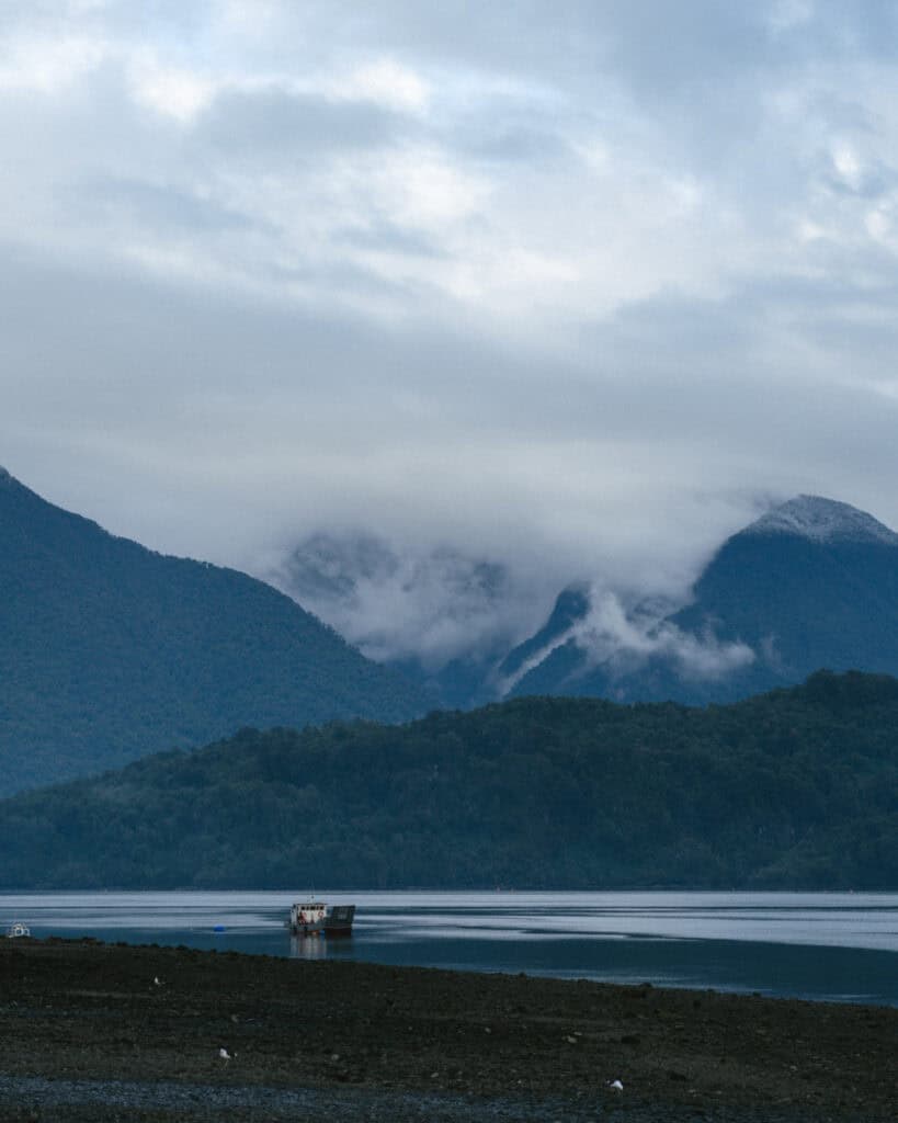
Hornopiren is a small fishing town at the northern gateway to the Carretera Austral, sitting on the edge of the Comau Fjord where the mountains practically fall into the sea.
It is the capital of the Hualaihué commune in the province of Palena. I wouldn’t ordinarily share that detail, but finding information about Hornopiren online is very difficult, and I noticed that they often brand the area as ‘Hualaihué’, not Hornopiren, so you might find that helpful!
If you’re travelling the highway in its entirety, you’ll probably associate Hornopiren with ferries. Whether you’re travelling from the north or the south, you’ll need to board a couple of boats to get here!
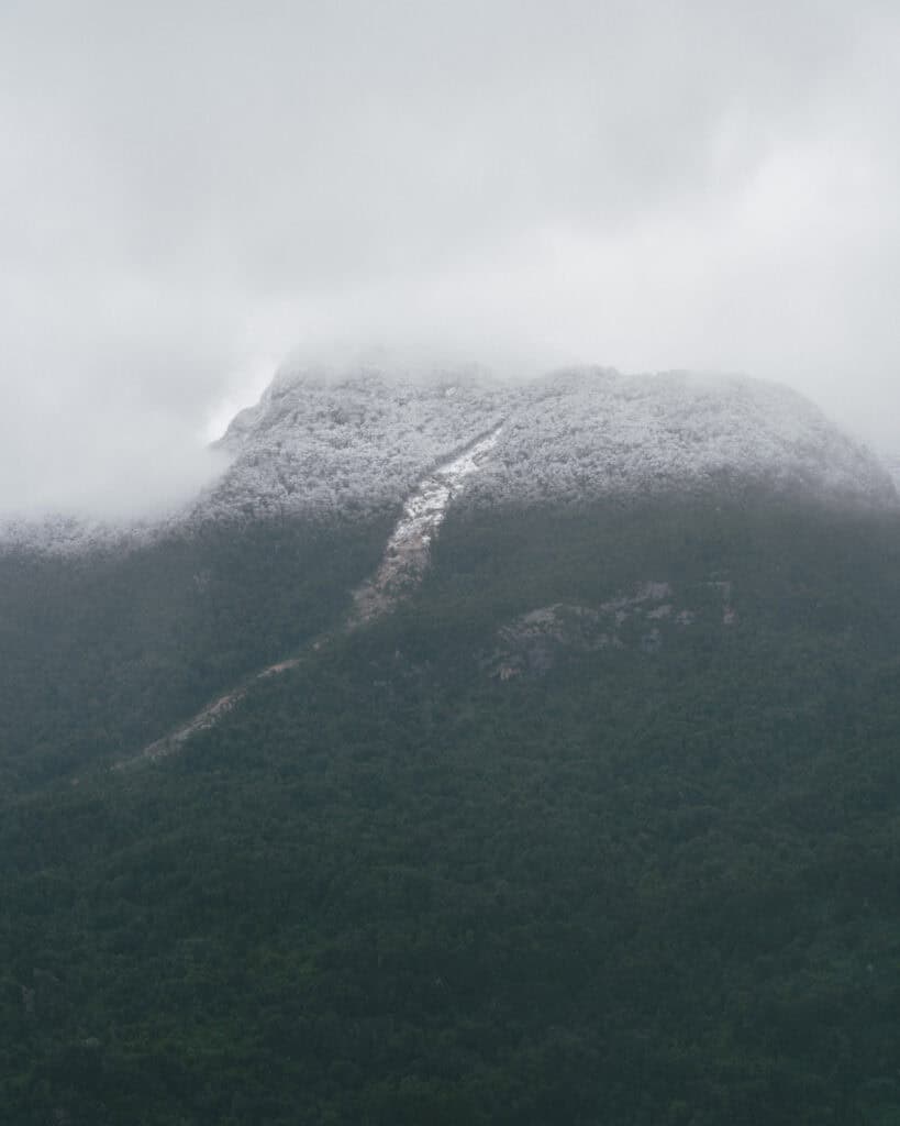
Its name means ‘Snow Oven’ in Mapudungu, the Mapuche language, a reference to the striking Hornopiren Volcano (1,572 m) that rises just behind town. There is also a second peak, the Yates Volcano (2,187 m), that dominates the skyline.
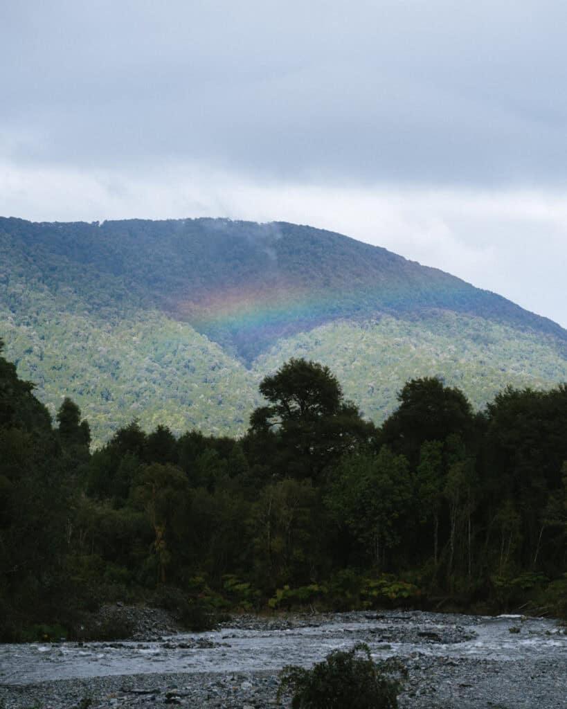
If you’re blessed with a clear day, you’ll see these peaks looming over the town. But don’t hold your breath – they’re often shrouded in mist and rain clouds, as Hornopiren receives over 2,500 mm of rain per year.
The town is the primary access point to Hornopiren National Park, which protects over 150,000 acres of temperate rainforest, glaciers, lakes, and volcanic peaks. Its southern edge connects to the Pumalin National Park.
Ancient alerce trees, some thousands of years old, thrive here alongside rivers and waterfalls tucked deep into the forest. While beautiful, the park is one of the more challenging ones to visit along the Carretera Austral, with limited infrastructure and tricky access.
With around 3,000 residents, Hornopiren feels quiet and low-key, but there was a small but noticeable increase in activity as we inched closer and closer to the big city life in Puerto Montt, just over 100 km (62 mi) north.
For us, Hornopiren marked the ever-nearing end to our epic road trip along the Carretera Austral, and in true Patagonia fashion, it rained almost the entire time we were there!
If you’re travelling south, this is just the beginning, and Hornopiren is the perfect introduction to the unbelievable scenery to come.
🛻 Hornopiren was one stop on our road trip along the Carretera Austral in Chilean Patagonia. Don’t forget to browse all our posts about the Carretera Austral, or if you want to skip the multiple tabs and scribbling notes from my blog, I’ve got you covered with my Carretera Austral Road Trip Handbook. A 365-page eBook compiling everything I know about the highway into one beautifully designed place, available offline in your pocket while you’re on the carreterra!

PLANNING YOUR CARRETERA AUSTRAL ROAD TRIP CAN BE CONFUSING… I KNOW, I’VE BEEN THERE!
I spent months planning our Carretera Austral road trip – jumping between tabs, scribbling notes, and trying to remember ferry times. It’s a confusing region, and it’s easy to get it wrong!
That’s why I created the Carretera Austral Road Trip Handbook: all the info you need in one beautifully designed guide, available offline while you’re on the highway. Pair it with our Custom Google Map (500+ pins!), and you’ll have a clear, stress-free plan for the road trip of a lifetime – before you leave and while you’re on the highway.
Hornopiren map

How to get to Hornopiren
- 🚗 By car+ ferry: no matter which direction you’re coming from, reaching Hornopiren requires driving your car onto some ferries! You can read more about them in my Carretera Austral ferries guide.
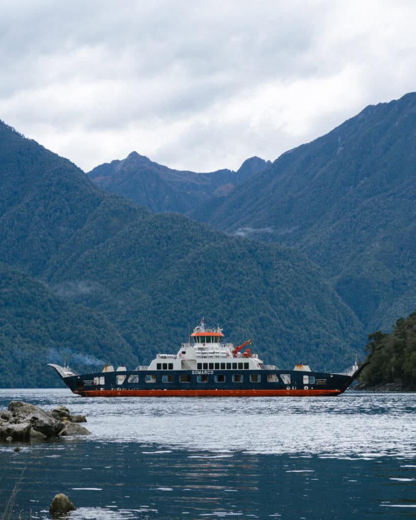
If you’re driving north along the Carretera Austral as we were, you’ll be coming from Chaiten. You will need to take the Hornopiren barcaza (Hornopiren barge) from Caleta Gonzalo – Hornopiren.
The route is operated by SOMARCO. You must book it online in advance. Their website is user-friendly and shows live availability. It runs year-round, every day.
This route is booked as one trip, but it actually involves two ferries and a short drive in the middle. They call it a ‘bi-modal route’.
After departing Chaiten, drive north for ~1 hour to Caleta Gonzalo. You will have no doubt spent some time in this area hiking the trails around Pumalin National Park.
Board the ferry in Caleta Gonzalo for a ~45-minute trip across Fiordo Largo. This boat docks, and you will drive in a convoy for around 15 minutes across a narrow finger of forested land to the next dock, Leptutu. From here it’s a 3 – 4 hour journey across the Leptutu (also called the Comau) Fjord to Hornopiren.
If you’re travelling south along the Carretera Austral, starting your journey in Puerto Montt at the beginning of the highway, you’ll also need to take the ferry! This one is much shorter, crossing the Estero Reloncavi.
The official route is Caleta La Arena – Caleta Puelche. It is run by Transportes del Estuario, with departures every single day of the year, usually every hour, 24 hours a day. There is no need to book your ticket in advance. It’s first in best dressed, and you just pay for your ticket in line before you board. The trip takes approximately 30 minutes.
The total journey from Puerto Montt – Hornopiren, including the ferry, should be around 2.5 – 3 hours. I would highly recommend planning a stop in Alerce Andino National Park along the way.
There is actually one way to get to Hornopiren from the north without taking a boat. Ruta V-69 runs from Ensenada near Puerto Varas and the Parque Nacional Vicente Pérez Rosales through Cochamao and Puelo, all popular areas to explore in the Los Lagos Region. We opted against this route because we really wanted the satisfaction of driving the Carretera Austral in its entirety. However, if you have more time and want to explore these areas, it’s a good option and bypasses one ferry.
📍 I’ve pinned lots of miradors and scenic stops en route to Hornopiren from Chaiten (south) or Puerto Montt (north) on my Carretera Austral map
- 🚌 By bus: there are bus services to Hornopiren from Chaiten in the south and Puerto Montt in the north. Sometimes the buses will be going directly to Hornopiren, other times it will simply be a stop on the broader Chaiten – Puerto Montt route (or vice versa).
In the same vein as cars, the buses need to use the ferry too. Sometimes they will board the ferry, but on other routes, you will be dropped off at the ferry, board as a foot passenger and then connect with another bus at the other end.
There is a bus terminal in Hornopiren, a few blocks from the main plaza, but do note that some bus companies depart from a different location. Always check in advance!
This is the best website I’ve found for bus information along the Carretera Austral. I’d recommend contacting the transport companies directly to confirm, as public transport in this region of Chile is unreliable and changes seasonally.
How to get around in Hornopiren
The easiest way to get around Hornopiren is with your own vehicle, whether that’s a car or a bike.
Like everywhere on the Carretera Austral, the attractions are spread far and wide here and there is no public transport within the area (at least none that I could work out!).
Hornopiren is even more spread out than other towns in this area, as the highway curves to the east, but the national park and many of the attractions are to the north and west of town, so you can’t even make use of the long-distance bus routes that do exist along the highway.
If you don’t have a vehicle, it’s tough to plan your time here. The town is walkable, but most things to do are not in town.
You’d really need to rely on a local tour operator to see the sights. There is a VERY helpful tourist information centre in town that is your best bet for advice and info, and they can recommend companies for tours and transport.
Where to stay in Hornopiren
🏨 ACCOMMODATION
Accommodation in Hornopiren is nothing fancy, but nothing dirt cheap.
Most options are nice, mid-range self-contained cabaña rentals, often just individual house rentals rather than a business or hotel. If you can book one with a tinaja (a wood-fired hot tub), it’s the perfect thing to do on a cold, rainy evening!
If you’re looking for luxury for luxury, you won’t find it. If you’re looking for dorm beds, there are some, but not a lot. Camping is the best option if you’re on a tight budget.
Having a car or bicycle makes things easier as the options are spread all over the outskirts of town.
- 💰 Caburga Hornopiren Hostel
- 💰 Cabañas Tampier Hornopiren
- 💰💰 Cabañas Parque Chaqueihua
- 💰💰 Cabañas & Tinajas Entre Volcanes
- 💰💰💰 QUELEN AUSTRAL
- 💰💰💰 Entre Montañas
🏕️ CAMPING
There are lots of free and paid camping options in Hornopiren and the surrounding areas.
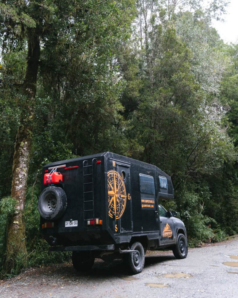
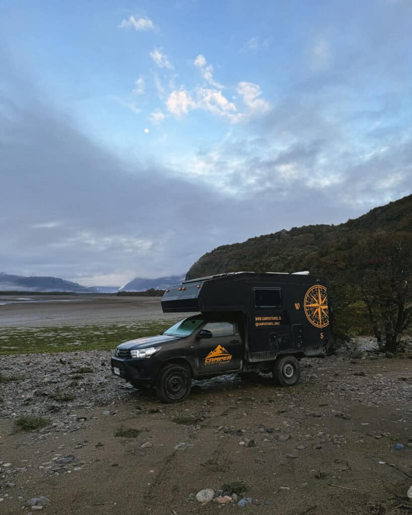
There is a huge, open grassy area by the river just outside of town that is entirely free. We couldn’t believe our luck, there were no houses or people around and tons of spots to choose from. This is the pin on iOverlander. It was perfect in our self-contained camper.
There are a few other beachfront (fjord front?) spots you can explore, too, but they were a little further out of town. If the weather played ball, I had my eyes on this spot.
If you’re not self-contained and need more amenities, check out Camping El Cobre. It’s a little far from town but right on the beach, and they have bike and kayak rentals to explore a peaceful area of the fjord. If you want to be closer to town, Camping Doña Martina is well-rated.
Things to do in Hornopiren
1. Soak in some hot springs
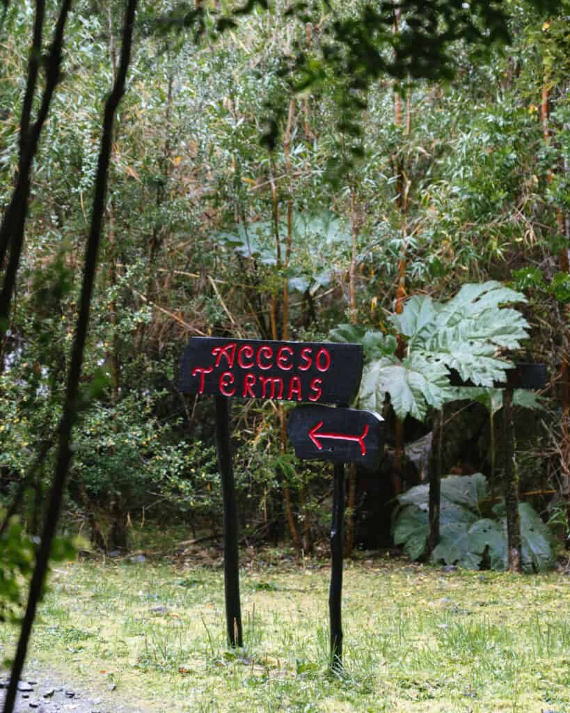
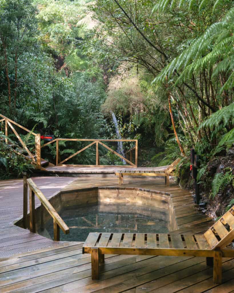
There are hot springs all over the northern section of the Carretera Austral, due to all the volcanic activity in the area. Our favourite experience was at Termas de Pichicolo in Hornopiren.
They’re kind of pricey at 29,000 – 32,000 CLP (~$29 – $32 USD), depending on the day of the week, but for us it was worth it.
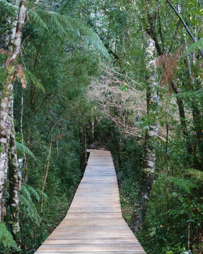
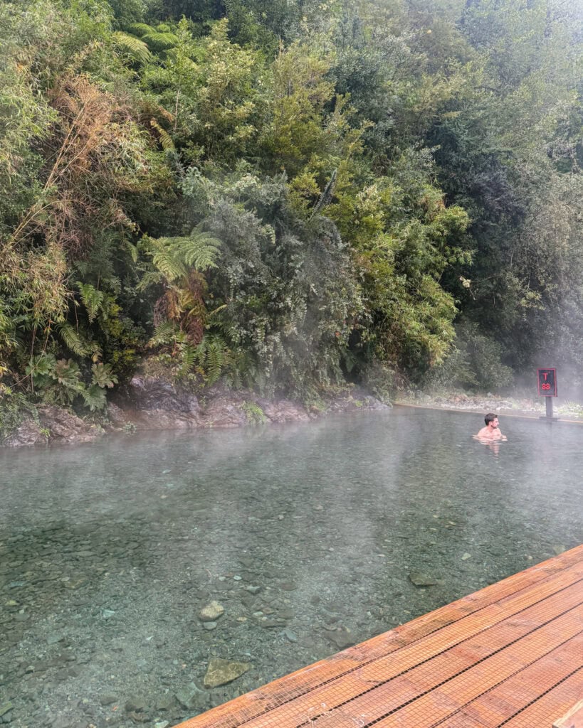
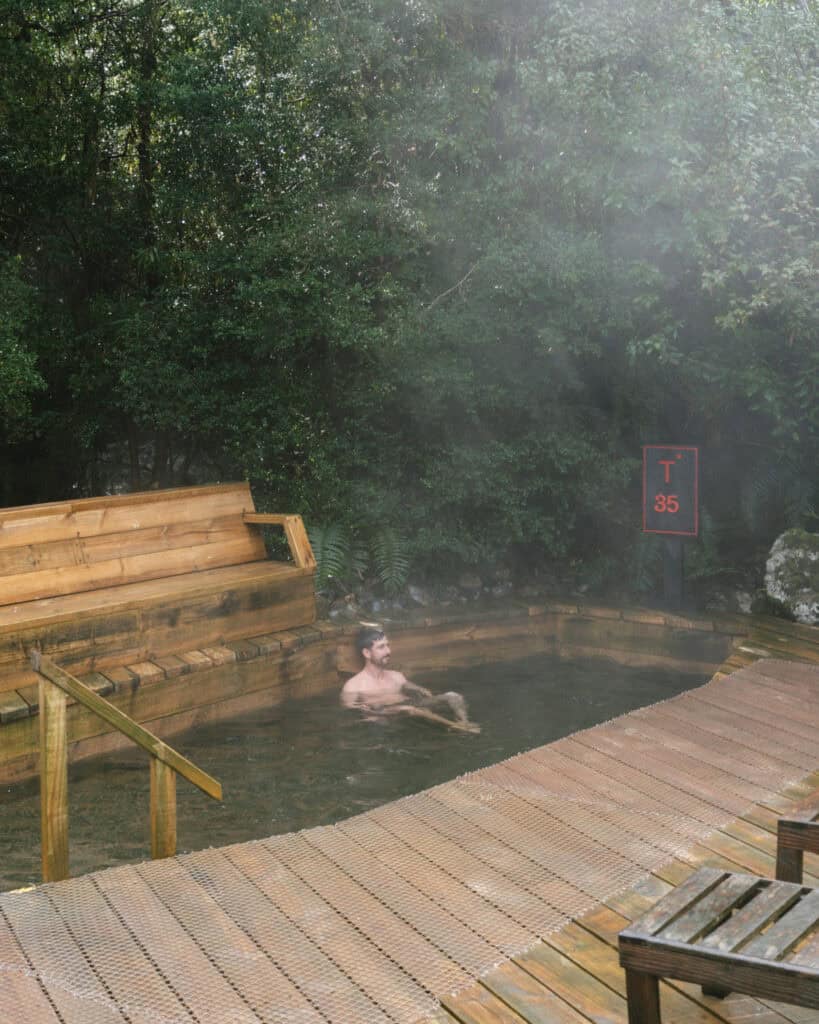
There are five different pools of varying temperatures, surrounded by forest. The pools have a really natural feel, with wooden decking and a pebbly floor. It didn’t feel like a public pool like some of the springs in the area.
We visited on a quiet, rainy day during the week, and we basically had the place to ourselves! A few other groups came and went, but we each stuck to our own pools, so we spent the entire day soaking in a private pool with light drizzle and mist hanging in the air.
We commandeered the pool right next to the river, in the top left-hand corner. It was pretty hot, so we did a rotation of steaming and then dunking in the cold river, it was bliss!
I think the experience would be a bit different on a busy holiday weekend, but that’s true of every hot spring. They’re just not quite as relaxing when you’re surrounded by people!
There are some other famous aguas termales around Hornopiren.
Termas del Sol are the most popular, but they are much further from Hornopiren than they seem on the map (1.5 hours). These would be best to do on your way to or from Hornopiren, near the ferry at Caleta Puelche or if you’re coming via Ruta V-69 from Puelo.
Two other hot springs are accessible via boat.
One is located on one of the islands in the Comau Fjord, Termas de Llancahué, and the other, Termas de Cahuelmo, is on the mainland, deep in the forest, inaccessible by road. Local tour companies run trips here.
2. Parque Nacional Hornopiren
Hornopiren National Park is one of the least-visited parks in the region.
As is common in Northern Patagonia, the park protects a vast area of stunning Valdivian forest, dotted with rivers, waterfalls, glaciers and lakes. It’s a similar landscape to Pumalin National Park, and its southern boundary actually connects to Pumalin.
The difference here is that the park’s infrastructure is not as developed. The boundaries of the park are not easily accessible from Hornopiren, and to actually get inside the park, you need to cross private land, which has caused a lot of contention and confusion.
The park is divided into two main sectors, and without a local guide or extensive camping equipment for a multi-day trip, there are two options for visiting the park on a day trip.

Sector Rio Blanco – Cascada Rio Blanco
- 🥾 Trail type: out-and-back
- 📍 Trailhead location: Google Maps
- 🗺️ Trail map: WikiLoc
- 📏 Distance: 9.3 km (5.8 mi)
- 📈 Elevation gain: 180 m (591 ft)
- 🥵 Difficulty: easy
- ⏳ Duration: 3 – 4 hours (with stops)
- 💰 Entrance fee: 2,500 CLP
This is the most common way to visit the national park, and it is stunnnnning!
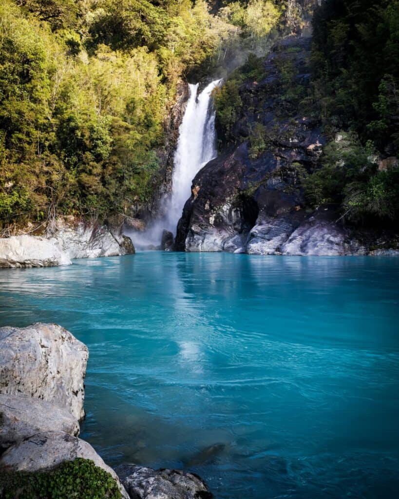
The Cascada Rio Blanco isn’t exactly a fitting name, it should be blue river, not white river, because the water here is the most vibrant turquoise colour.
The trail is a little confusing, like most of the national park.
The location I pinned above on Google Maps is the car park and entrance to the trail. This entrance is actually on private property, and you will need to pay a fee (2,500 CLP) to the landowner to pass by his land. A lot of reviews mention him being extremely rude and aggressive, so proceed with caution!
The trail is open from 9:00 am – 4:00 pm, but you must enter by 2:00 pm.
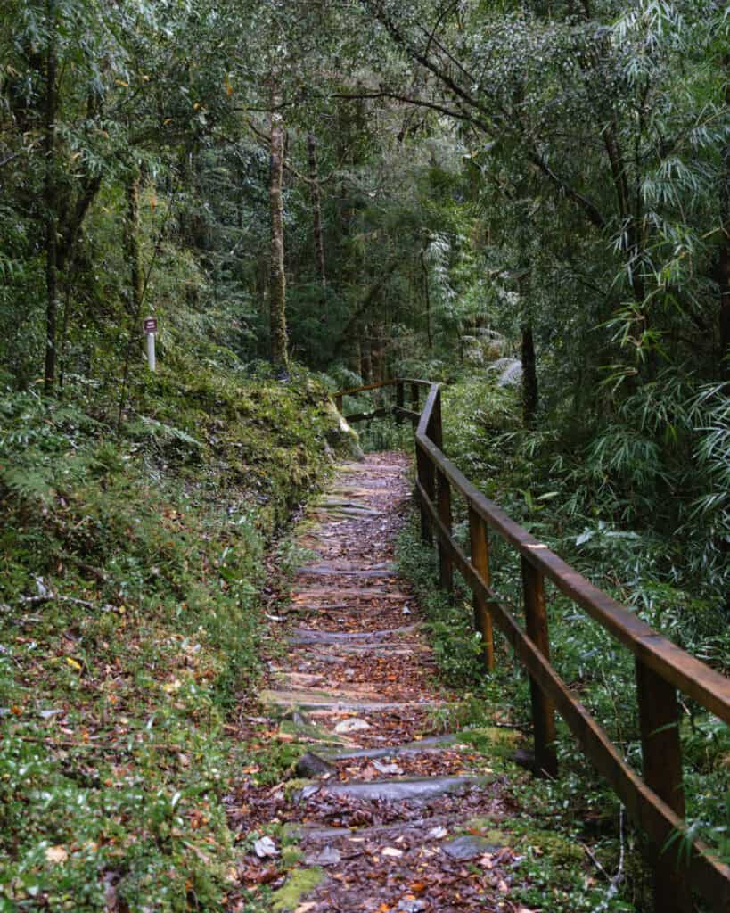
Once you’re through the initial checkpoint, the trail is clear and well-marked, mostly along the river.
Eventually, you will reach the official boundary of the national park, where a CONAF hut is located. You need to check in here, but there are no other fees to pay.
Continue walking until you reach the gorgeous double waterfalls, flowing into a vibrant blue river. There is a series of wooden steps leading to a boardwalk and viewing platform right by the falls.
You’re not permitted to swim here.
Sector Chaqueihua – Lago Pinto Concha
- 🥾 Trail type: out-and-back
- 📍 Trailhead location: Google Maps
- 🗺️ Trail map: AllTrails
- 📏 Distance: 19 km (11.8 mi)
- 📈 Elevation gain: 791 m (2,595 ft)
- 🥵 Difficulty: hard
- ⏳ Duration: 7 – 8 hours
- 💰 Entrance fee: free
The other part of the park is the Chaqueihua Sector that provides access to Lago Pinto Concha and Volcan Yates. This is a longer, tougher trek that is best done as an overnight hike, especially if you also want to climb the volcano.
Similar to the Rio Blanco Sector, you first have to pass through private land before you reach the official boundary of the national park.
You park at the location that I pinned above, and you will see CONAF signage and an office to register. From there, it’s a ~7 km walk on private land before you even reach the national park boundary. It’s another ~4 km to reach the lake.
There is another ranger station here, and you are permitted to camp on the lake (no facilities).
It’s a good idea to break the hike in two by staying the night, otherwise, you need to leave by 10:00 am (at the latest in peak summer, much earlier in other months) to make it there and back in the daylight.
The trail is incredibly muddy, full of roots and other obstacles and is not well-maintained (as most of it is on private land). By all accounts, it looks like an incredibly tough walk, and we definitely weren’t up for it.
If you’re really up for an adventure, you can hike Volcan Yates. The trail starts from the lake and is another ~9.5 km (6 mi) out-and-back with intense elevation. You’re best to hike to the lake, camp overnight and start first thing in the morning to get up the volcano and back to town in one day. This trail on WikiLoc has some good info.
3. Wander around town
I always recommend spending a bit of time wandering around town. There’s not much to Hornopiren and the main attractions are the beautiful nature spread around the area, but you should definitely spend a few hours exploring the small centro.
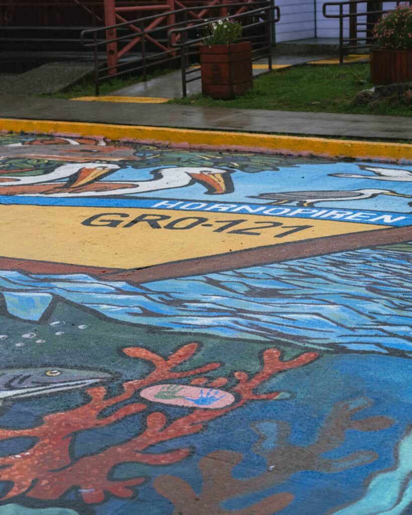
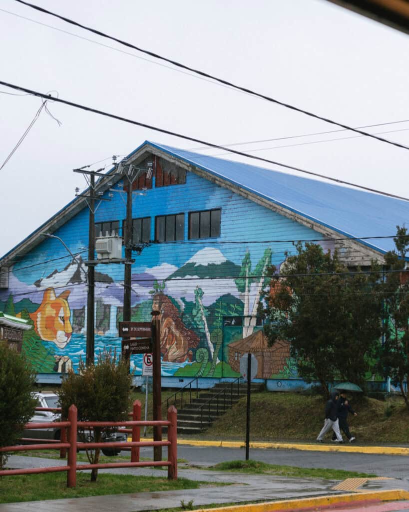
The Plaza de Armas is the best place to start. It’s a gorgeous little square, and on a clear day, you should have a nice view of the Hornopiren Volcano. There are some great wooden sculptures, murals and other art around the plaza.
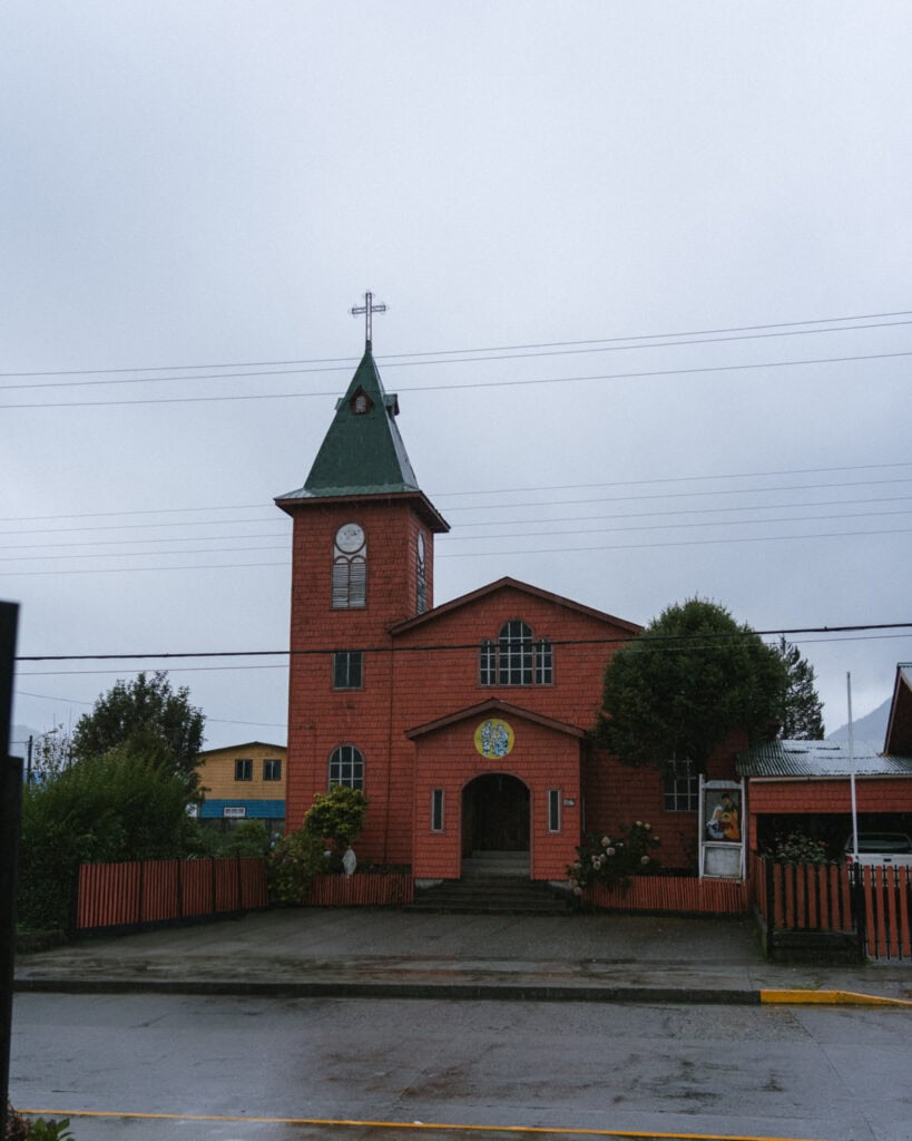
Across the road is the Parroquia Sagrada Familia, a cute chapel with wood shingles and a bright red colour.
There is also a market area with little stalls selling different souvenirs and local produce. This continues into more of a food market with lots of stalls serving typical local cuisine.
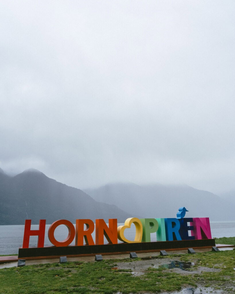
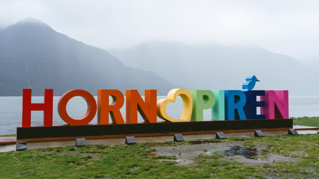
Make sure you wander down to the coast, where you’ll find the Hornopiren letters and a great view over the Comau Fjord.
The town is split into two by the Rio Cuchildeo. You have to walk or drive away from the coast to cross the bridge before returning to the coast. This is where you’ll find the ferry port.
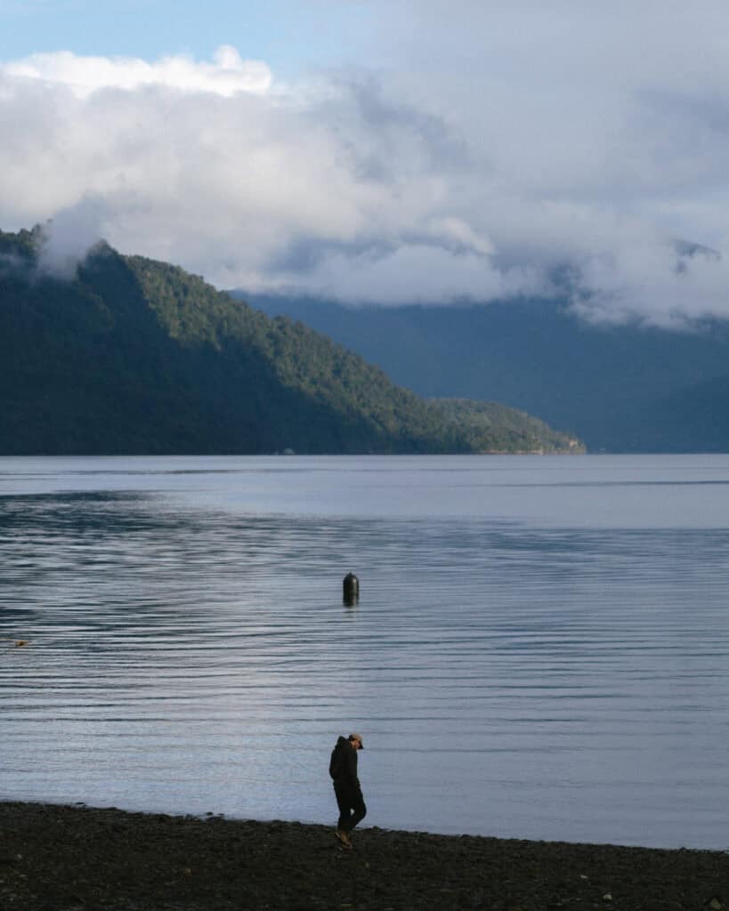
Continuing southwest, there is a quiet stretch of coastline. We drove to Playa El Cobre and spent the afternoon parked up, enjoying the view, watching the seabirds dive, looking for dolphins offshore, and just soaking up the serenity and beautiful views.
You can rent kayaks from Camping El Cobre if you want to go for a paddle in the fjord.
4. Explore more waterfalls
If you’re not up for a hike, there is a collection of waterfalls around Hornopiren that are easily accessible with just a short walk. They are privately owned, on the grounds of campgrounds, restaurants, cabins, etc., and you have to pay to access them.
If you’re visiting in peak summer, all these places should be open. If you’re visiting in the shoulder months, it’s worth contacting them ahead of time to confirm they will be open. If you plan to eat at one of the restaurants, you should reserve in advance.
All these waterfalls are just on people’s properties, and at quiet times of the year, they often won’t open. You can find WhatsApp numbers on Google Maps.
If you’ve got a vehicle, this is a nice way to spend a day waterfall hopping!
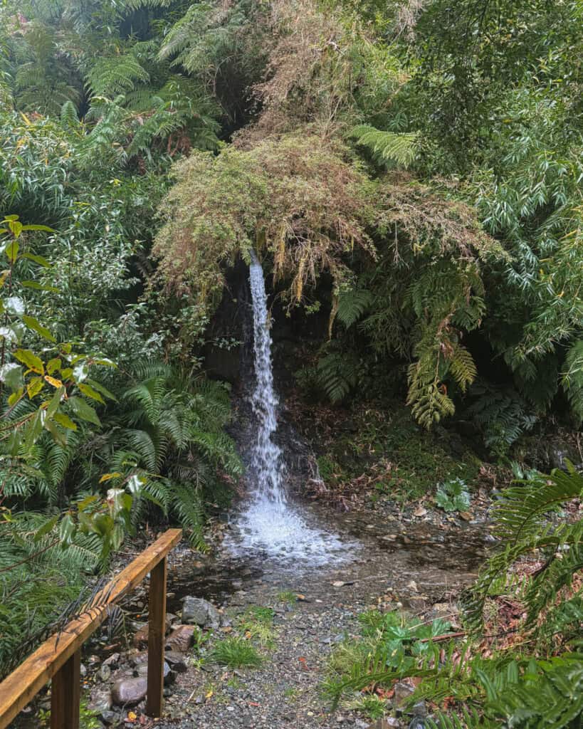
- 💦 Cascadas de Trayenco: located on the grounds of Cabañas y Camping Trayenco, there is a 4,000 CLP fee. It’s a short walk to a small waterfall surrounded by a sea of ferns and forest.
- 💦 Cascada Doña Tato: a short walk to two waterfalls. You can swim in one, but not the other, if you’re brave enough to face the freezing water! Entry is 2,000 CLP, and they have a restaurant here.
- 💦Cascadas Vejar: these falls are particularly gorgeous and seem well-run with more consistent opening hours. There are three falls, and entry is 2,500 CLP.
- 💦 Cascada Lankuyen: another campground cum restaurant cum waterfall. This restaurant looks nicer than the rest, but you need to contact them in advance if you want to eat here. There are three waterfalls. I’m not sure of the entrance fee, sorry!
- 💦 Camping Lomas Lindas: this is more of a campground with a waterfall rather than an attraction on its own, but if you are looking for somewhere to camp in nature, this spot looks stunning. There is a gorgeous stretch of blue river with a small waterfall. Perfect on a warm(ish) summer day!
Full credit to this website for the information about these waterfalls. Hornopiren is a tough place to understand and plan for, and I found the website really helpful. It says it is the website of the Hornopiren National Park, but I think someone has independently created it. It’s very helpful!
5. Drive the Ruta Costera
This was a discovery we made too late to enjoy, but hopefully you can make the most of our mistake!
When you arrive or depart the area via the ferry in Caleta Puelche, you can continue along the Carretera Austral into Hornopiren. OR, you can take ‘Ruta Costera’ aka Ruta W-609.
It follows the coast all the way from the town of Contao, near the ferry port, to the town of Hualaihué, before turning north and reconnecting with the Carretera Austral just before Hornopiren.
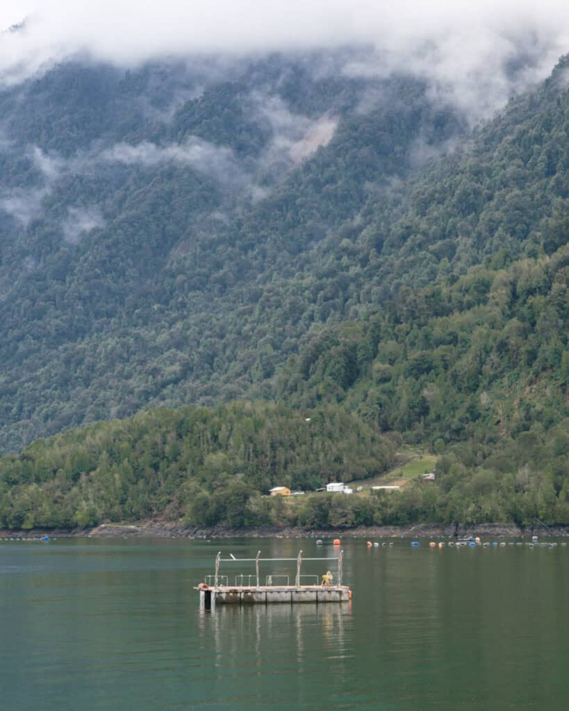
There are several little towns along the way, lots of beaches and gorgeous scenery. You can choose to stop and explore along the way, or simply just drive and enjoy the coastal views. It only takes about an hour.
6. Alerce Andino National Park
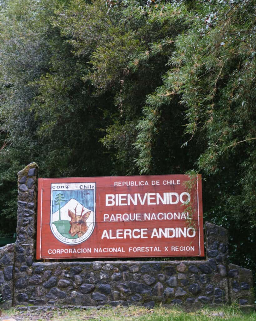
Something to do on your way in or out of Hornopiren is the Alerce Andino National Park.
Located just over 2 hours from Hornopiren and under an hour from Puerto Montt, it’s the perfect pit stop at the start or end of your Carretera Austral road trip.
The park is huge with multiple sectors, but the one you want is Chaicas, near the town of Lenca. This is the location of the entrance and ranger station.
Entry is 8,200 CLP for foreigners. When we visited, we could buy our tickets at the ranger station when we arrived with card only, but I believe this may be changing. A reader recently advised me (January 2026) they had to pay with PayPal as a foreigner, weird.
You should pre-purchase your tickets online in advance on the Pases Parques website, to be safe. The site is super easy to use, I think this is the simplest way!
The park is open 7 days a week from 9:00 am. In summer, you must enter before 3:00 pm, and the park closes at 5:00 pm. In winter, the last entry is at 2:30 pm, and the park closes at 5:00 pm. Some of the longer trails close even earlier than this.
The hours are very inconsistent online vs at the park, so I’d recommend getting there as early as possible to give yourself a chance to hike any trail.
The long-distance trails close during the winter months or in case of bad weather.
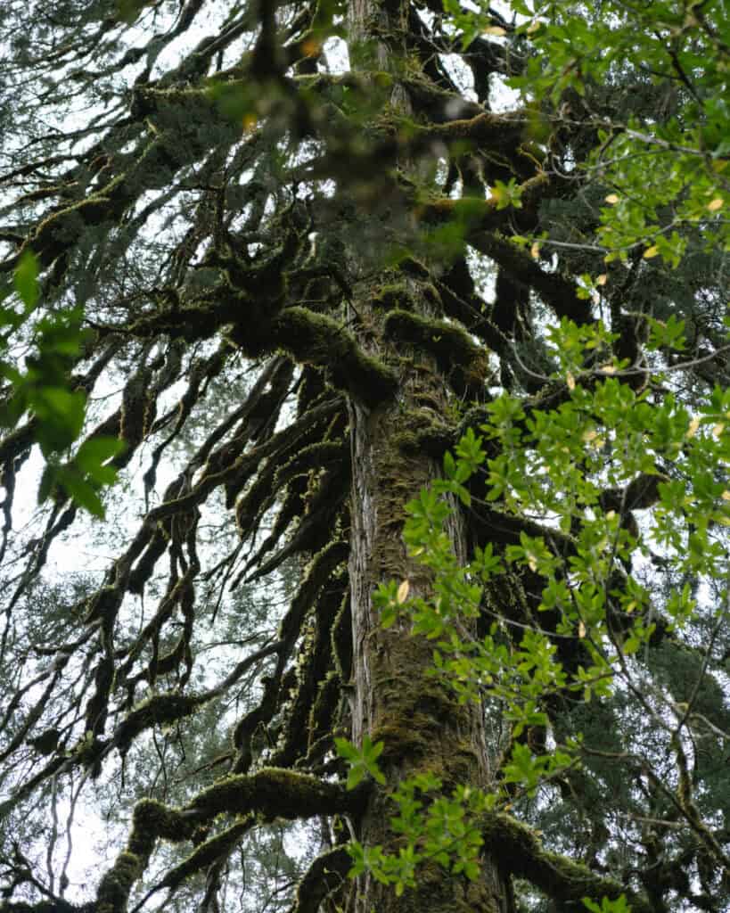
The forest here feels like something out of a fairytale. It is so intensely green, there is moss and lichen covering every surface, and moisture dripping from the canopy. The park protects a big population of the famous alerce trees, thought to be bigger and older than their famous cousins, the sequoia.
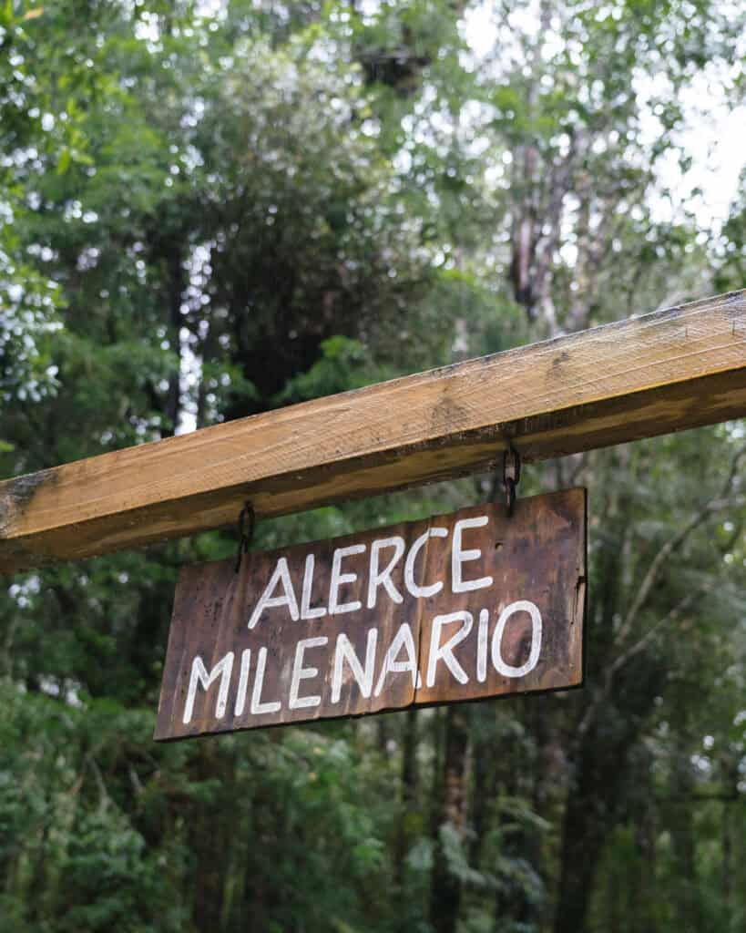
Many of these trees are milenario, aka more than 1,000 years old. Many in this park are more than 3,000 years old.
There are several trails of varying length in the Chaicas Sector. If you’ve got time, the best one to do is the Sendero Salto Rio Chaicas. It’s 7.7 km (4.8 mi) on a flat, if not muddy, trail. You get a taste of the Valdivian forest, a lovely waterfall and the Alerce Milenario, over 3,000 years old.
🌳 Check out my detailed guide to the Alerce Andino National Park
Where to eat in Hornopiren
We had the best meal of our entire Carretera Austral road trip in Hornopiren. It felt like things were a little funkier and modern here, maybe given the proximity to a large city like Puerto Montt, but the food game definitely stepped up a notch.
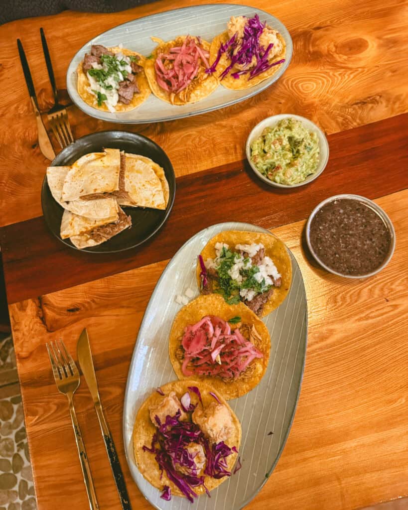
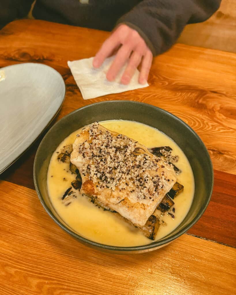
- 🌮 Morchella Patagonia Norte: hands down one of the best meals we had during our 2 months in Patagonia, we still talk about it today! On a very rainy night in Hornopiren, our spirits were dampened (literally), and this place cured all our woes!
A bit of Mexican (with Mexican chefs), a bit of Chilean, a bit of fusion, everything we tried was delicious. The taco platter tasted just like Mexico, the margaritas were excellent, and the ‘Pesca Austral’, a fish in lemon cream sauce, was like nothing we’ve tasted. Brayden is trying to recreate the recipe at home, and we just can’t get it like they did! Morchella is a MUST in Hornopiren, and you should probably factor in multiple visits, it’s that good.
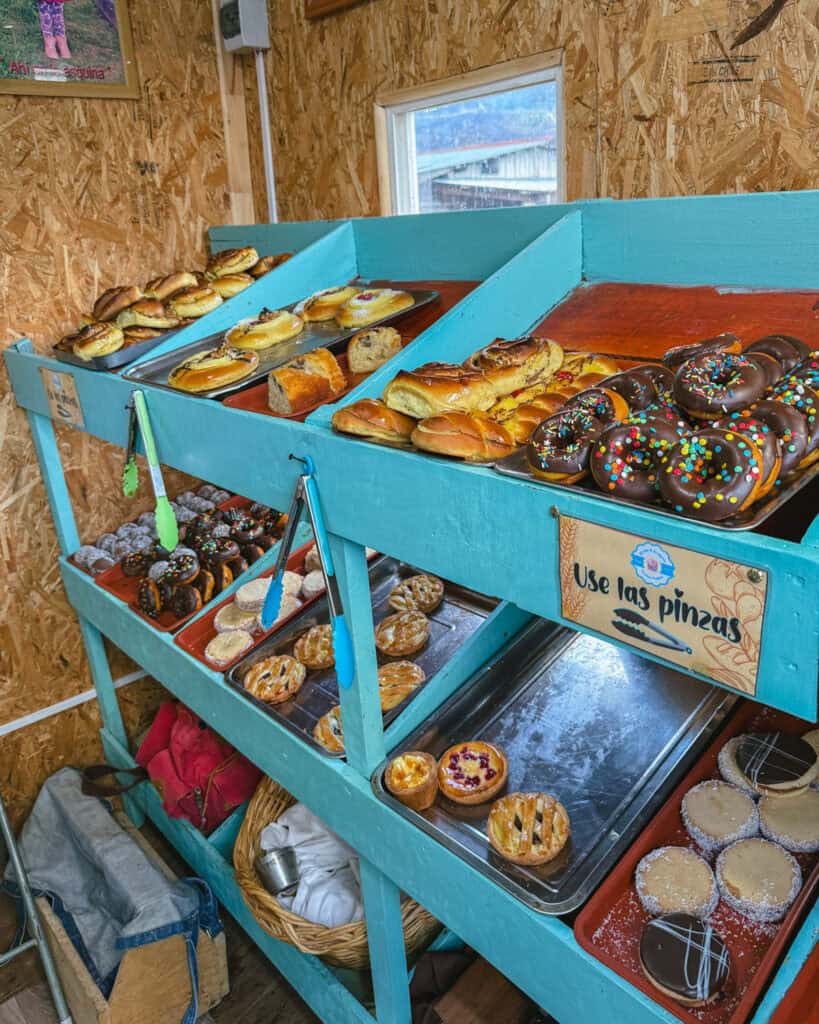
- 🍩 Panaderia y Pasteleria “Al Lado de la Esquina”: a tiny roadside shack full of sweets? I’m in. The perfect place to load up on cakes, pastries and sweet goodies for your hiking snacks and picnics.
- 🍣 Patagonia Gustoso: another place that feels a bit too fancy for this tiny town. Sushi, ceviche, craft beer and cocktails. I think that tells you everything you need to know!
- ☕️ Faros’ Cafe: I don’t think you’ll enjoy a coffee with a view as good as this anywhere else in town. Right on the water near the ferry deck, the wraparound deck is the perfect place for a coffee and an empanada overlooking the fjord.
- 🐟 Mercado Tipico – Puesto 25: Hornopiren has a little market, with lots of souvenir stalls and different food stands. Fantasia de Sabores Puesto 25 (stall 25) is very well rated, with tasty, affordable local Chilean dishes, including nice salmon options.
- 🍦 Chocolateria y Heladeria Artesenal Hornopiren: I’m always in for something sweet, and this artisanal ice cream just outside of town hit the mark. It’s a really lovely forest setting, and they have a variety of homemade ice cream flavours.
📍 All of these restaurants are pinned on my Carretera Austral custom map
Things to know before visiting Hornopiren
- 🌤️ Best time to visit: like all of Patagonia, the best time to visit Hornopiren is generally in the warmer months between October – April. Although you should expect wild weather at any time of the year, with rain, wind, snow and sun always possible – this is Patagonia after all!
Hornopiren and other neighbouring towns on the northern section of the Carretera Austral have much wetter climates, so you should prepare for rain year-round.
Given that Hornopiren has a pretty direct access to the rest of Chile via Puerto Montt, it can be quite popular with city-siders looking for a getaway in nature. Holidays and weekends in summer can be quite busy, but the town and its attractions are dispersed, so I’m not sure you’d really feel the crowds too much.
- 🗓️ How long to stay: it really depends on how deep you want to go. 1 – 2 nights is enough to visit one of the hot springs and hike to Cascada Rio Blanco. If you want to hike to one of the volcanoes or tackle an overnight trail, you could spend 3 – 5 nights around the area and not be bored!
- ⚠️ Safety: we felt completely safe in Hornopiren, as we did everywhere on the Carretera Austral. These towns are incredibly welcoming, and people are very friendly.
- 🗣️ Language: Spanish is the official language in Chile, and there is barely any English spoken in the remote towns of the Carretera Austral. Chilean Spanish is notoriously hard to understand, so even if you’ve got a decent level of Spanish, be prepared to struggle with their unique vocabulary, fast speaking and mumbling!
- 💰 Currency: the currency in Chile is the Chilean Peso (CLP). While in some more touristy areas of the country, US Dollars are occasionally accepted for tourist activities, this isn’t the case in Hornopiren.
- 💧 Can you drink the water: tap water is safe to drink in most parts of Chilean Patagonia, including Hornopiren. It’s a good idea to check with your accommodation before you drink, just to be sure.
Amenities in Hornopiren
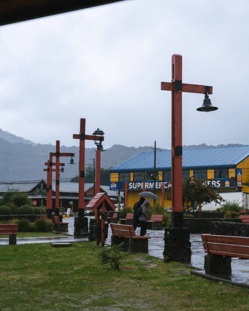
- 🛒 Supermarkets: Hornopiren had a good range of supermarkets and minimarts. Nothing huge, but we thought Supermercado Oelckers was well-stocked and pretty big.
- 🏧 ATMs: there is one ATM in Hornopiren and luckily, it is the best one, BancoEstado. This is the best bank to use in Chile with a foreign card, as you can withdraw the highest amount of cash (~ 400,000 pesos) to make the most of the expensive Chilean ATM fees. The withdrawal fee is about 5,000 pesos (~$5 USD).
- 💳 Card or cash payments: we were able to pay with card at most places in Hornopiren (supermarket and restaurants). As always on the Carretera Austral, you should be prepared with cash in case places don’t accept card, or the machine is not working.
- ⛽️ Petrol stations: there is a COPEC on the highway just north of town. It sells all types of fuel (unleaded and diesel). The prices here were on par with other smaller towns along the highway.
- 📱 Phone service and wifi: we had pretty decent 4G, sometimes 5G, service with Movistar in Hornopiren. We camped just outside of town on the river and our phones were working fine there too.
I believe Entel also has service and is considered the best provider for this area, however, due to new laws that came into effect in February 2025 banning foreigners from registering SIM cards in Chile, it’s near impossible to get an Entel SIM as a tourist. We had no problem buying a Movistar one; I think they did some quick thinking to find a workaround, but Entel repeatedly told us in multiple stores it was not possible.
Save hours planning your Carretera Austral road trip with our Handbook + Custom Map

Final thoughts: Hornopiren travel guide
Hornopiren was a lovely close to our Carretera Austral adventure, and I know it would be a beautiful beginning if you were travelling south through the region.
In typical Patagonia fashion, we had a lot of rain and unfortunately couldn’t do everything we wanted to here, but the hot springs actually turned out to be the perfect way to spend a rainy day, and we managed to spend some nice non-rainy time exploring the town and waterfront.
Hornopiren is one of the more complicated towns along the carretera to really get under its skin, and I left feeling like there was more to discover. Unfortunately, we didn’t have the time or the weather to do so.
I hope you have clearer skies than we did and can dive into the Hornopiren National Park. Don’t forget to also visit Alerce Andino National Park, between Hornopiren and Puerto Montt.
📍 Where to next? If you’re travelling north along the Carretera Austral, Hornopiren is basically your last stop, or if you’re travelling south, you’ll jump on the ferry to Chaiten.
MORE HORNOPIREN POSTS