
This article contains affiliate links that may earn me a small commission at no extra cost to you. As an Amazon Associate, I earn from qualifying purchases. For more information, see our affiliate disclaimer.
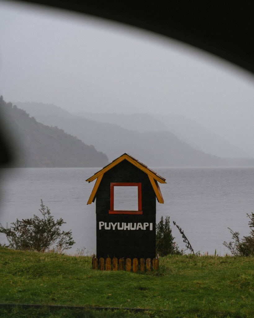
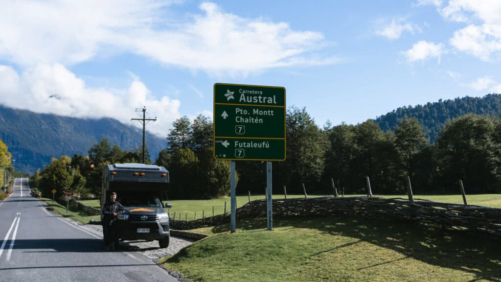
Puyuhuapi (pwee-oo-wah-PEE) is a small town in a string of small towns along Chile’s famous Carretera Austral, aka the Southern Highway.
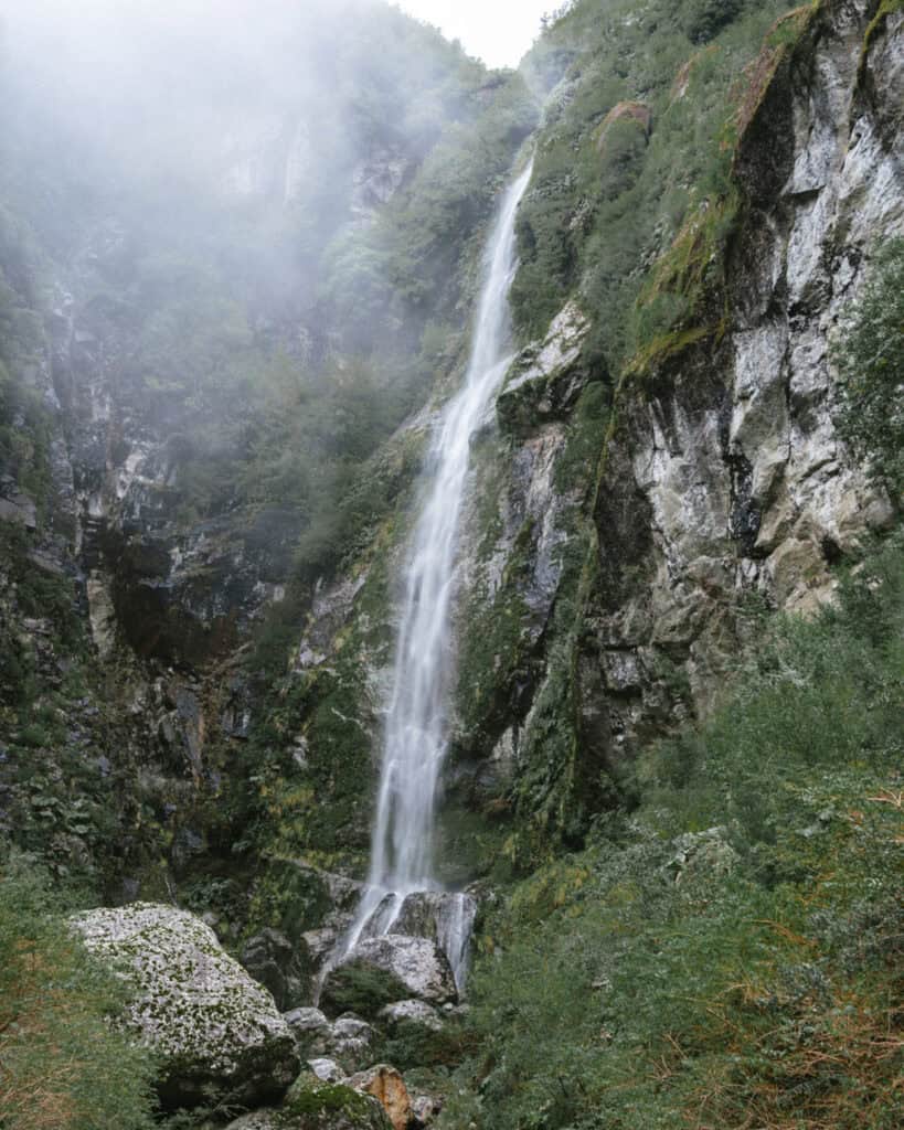
Set on the shores of the Puyuhuapi Fjord, surrounded by temperate rainforest, snowcapped mountains and the famous Hanging Glacier, Puyuhuapi is a very scenic stop.
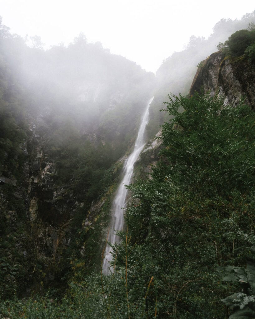
Rainforest is a literal term here – it rains in Puyuhuapi, a lot! It’s one of the wettest places in Chile, making this hidden hamlet feel even more remote and far flung, often covered in a light mist with moody clouds hanging over the mountains.
After the golden autumn colours we encountered further south on the highway, driving into Puyuhuapi was our first taste of the moist, evergreen, Valdivian forest that Northern Patagonia is known for.
Puyuhuapi is the primary jump-off point to the Queulat National Park, where you can hike and/or take a boat ride to see the famous Ventisquero Colgante (Hanging Glacier). A huge mass of jagged blue ice suspended on a rocky cliff face, with a waterfall tossing glacial melt into the lagoon below, it’s as beautiful as it sounds.
Here’s everything you need to know about Puyuhuapi, including things to do, where to stay and eat, how to get there and around, and amenities in town.

About Puyuhuapi
Puyuhuapi is a tiny fjord-side village with a fascinating mix of Chilean and German heritage.
Originally inhabited by the Chono people, a nomadic seafaring Indigenous group who lived throughout the fjords and channels of northern Patagonia, the town we see today was officially founded in the 1930s by a group of German settlers.
During World War II, Chile had attractive colonisation policies, offering citizenship and land to immigrants if they would make the land productive and habitable. Lots of Germans took up the offer, and there are various German towns around Chilean Patagonia, including the tiny settlement of Puyuhuapi, and further north in Puerto Varas.
The town’s German roots are still visible in the architecture and local culture, with tidy wooden houses and European gardens. There is German beer and kuchen on menus in the restaurants, and some of the founding families still live in the town!
The setting is spectacular. Puyuhuapi sits at the head of a long eponymous fjord, backed by dense temperate rainforest and snow-capped peaks. Waterfalls tumble down the mountainsides into the sea, and the nearby Queulat National Park is home to the famous hanging glacier (Ventisquero Colgante de Queulat), one of the most iconic sights along the Carretera Austral.
There’s not too much else to do in Puyuhuapi, but the national park is a must-visit, and this is the perfect jump-off point.
You don’t get rainforest this lush and green without rain, and Puyuhuapi is one of the wettest places in all of Chile. Receiving over 4,000 mm of rain per year, our time here can be summed up in one word: soggy!
It rained torrentially for almost our entire time in the town. I’d like to say we didn’t see it in its best light, but I think the experience we had was quite normal for Puyuhuapi!
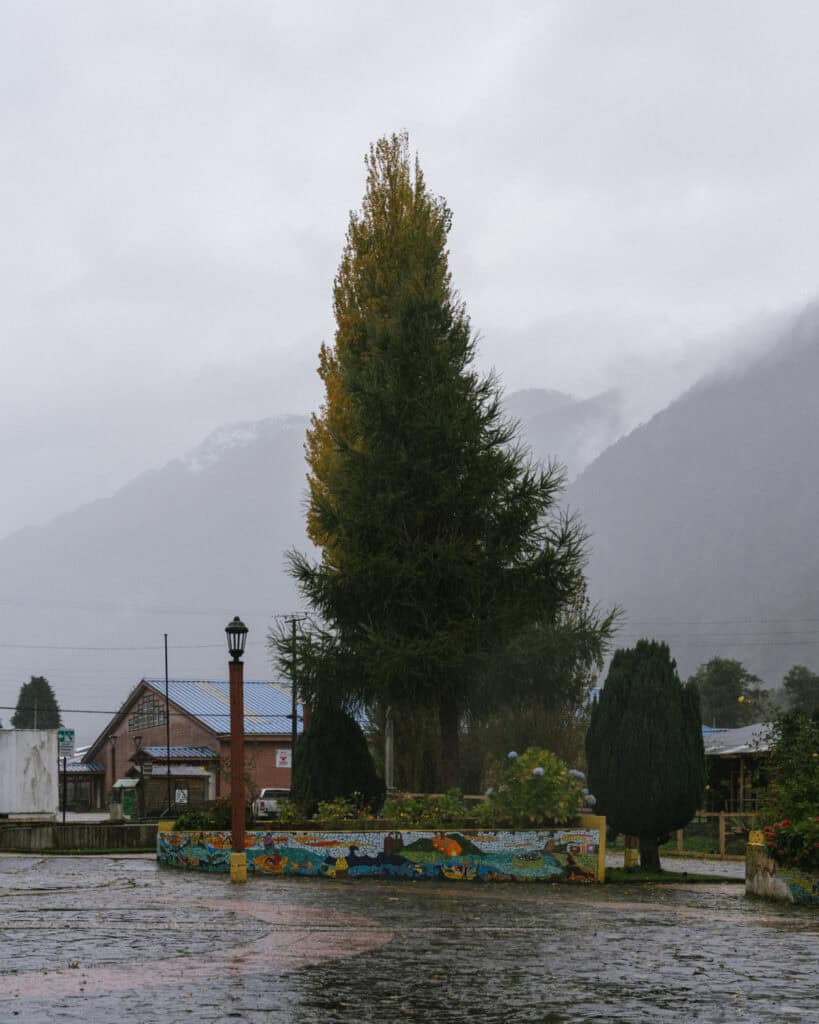
Despite not seeing the mountains or a clear view of the fjord, the moody cloud hanging in the air felt like it kind of matched the vibe, and it added to the sense of remoteness in this postage-stamp-sized town.
🛻 Puyuhuapi was one stop on our road trip along the Carretera Austral in Chilean Patagonia. Don’t forget to browse all our posts about the Carretera Austral, or if you want to skip the multiple tabs and scribbling notes from my blog, I’ve got you covered with my Carretera Austral Road Trip Handbook. A 365-page eBook compiling everything I know about the highway into one beautifully designed place, available offline in your pocket while you’re on the carreterra!

PLANNING YOUR CARRETERA AUSTRAL ROAD TRIP CAN BE CONFUSING… I KNOW, I’VE BEEN THERE!
I spent months planning our Carretera Austral road trip – jumping between tabs, scribbling notes, and trying to remember ferry times. It’s a confusing region, and it’s easy to get it wrong!
That’s why I created the Carretera Austral Road Trip Handbook: all the info you need in one beautifully designed guide, available offline while you’re on the highway. Pair it with our Custom Google Map (500+ pins!), and you’ll have a clear, stress-free plan for the road trip of a lifetime – before you leave and while you’re on the highway.
Puyuhuapi map

How to get to Puyuhuapi
- 🚗 By car: if you’re already on the highway, Puyuhuapi is a relatively easy drive from either direction, and there are no ferries required to get here from its closest neighbours.
This section of the Carretera Austral is mostly paved except for the Cuesta de Queulat, a very, very bumpy and narrow winding section south of town near the national park.
If you’re travelling north from Coyhaique, the drive is exceptionally beautiful. The road passes right through Parque Nacional Queulat, with a few different waterfalls on the roadside, dense Valdivian forest and glimpses of the glacier. It’s about 3.5 hours.
It’s about 2.5 hours from Chaiten if you’re travelling south. I highly recommend making a pit stop at Ventisquero Yelcho inside Parque Nacional Corcovado. There is FREE access to a trail that gets decently close to Glaciar Yelcho. It’s 6 km (3.7 mi) return and is blissfully flat through a fairytale forest.
📍 I’ve pinned lots of miradors and scenic stops en route to Puyuhuapi from Coyhaique (south) or Chaiten (north) on my Carretera Austral map
- 🚌 By bus: there are buses to Puyuhuapi from Coyhaique in the south and Chaiten in the north, via La Junta. Sometimes Puyuhuapi is the destination, or it may just be a stop on a Coyhaique – Chaiten route (or vice versa). Services are not necessarily daily, some only run a few times per week.
There is no official bus terminal in town. I think the buses just stop along the main street near the plaza.
This is the best website I’ve found for bus information along the Carretera Austral. I’d recommend contacting the transport companies directly to confirm, as public transport in this region of Chile is unreliable and changes seasonally.
How to get around in Puyuhuapi
By car (or bike), like everywhere on the Carretera Austral!
However, if you’ve arrived via bus without a car or bicycle, there are some options.
Once you’re in Puyuhuapi, the town is tiny and very walkable, and there are a couple of things to do directly from town (e.g. kayaking, hiking to the mirador).
If you don’t have a vehicle, you will need to work out how to get to the national park, and the hot springs if you’d like to visit them.
There is allegedly a bus to the national park (according to this website, the best I’ve found for the Carretera Austral) that leaves Puyuhuapi at 8:30 am and returns from the park at 1:00 pm. You can also organise a shared transfer with Experienca Austral, the major tour company in Puyhuapi.
I didn’t see any taxis around, but if you did want to visit the hot springs or any other attraction outside of town, you could check in with your accommodation for a transfer service.

Where to stay in Puyuhuapi
🏨 ACCOMMODATION
There’s a nice variety of accommodation options around Puyuhuapi. They’re mostly cabañas, which is very typical of the area, but there are a few hostels if you’re looking for dorms.
The Puyuhuapi Lodge & Spa is worth mentioning. It’s an excellent luxury option in a boat-only area across the fjord. The rooms are a little tired, but the setting is unbeatable on its own private corner of the fjord, nestled into the forest. This is a very unique stay if you’re looking for something out of the ordinary, immersed in nature.
- 💰 Hostal Robinson
- 💰 Hostal Don Claudio
- 💰💰 Cabañas Rupu Puyuhuapi
- 💰💰 Cabanas Senderos Puyuhuapi
- 💰💰💰 Puyuhuapi Lodge & Spa
- 💰💰💰 Departamento Rossbach
🏕️ CAMPING
There are lots of options around Puyuhuapi if you’re camping on the Carretera Austral, whether you want a free spot in your self-contained setup or a formal campground with amenities.
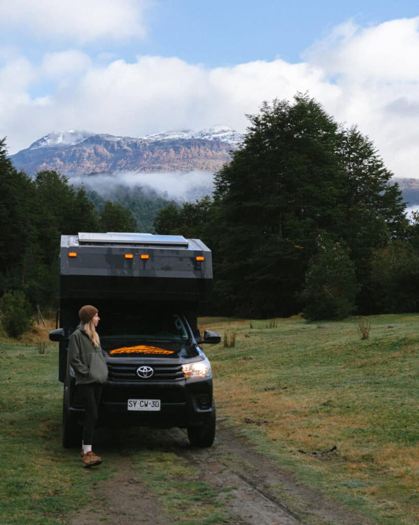
For free camp spots, there are a few pullouts along the highway south of town. This is one of the better ones. It doesn’t seem very private, but the elevated views over the fjord are stunning (with frequent dolphin sightings!) and the highway quiets down at night.
Otherwise, this spot near the pier in town looked really peaceful.
As for formal campgrounds, there are tons lining the Costanera road. They looked mixed quality – some looked very shabby and cramped, others seemed a bit more well-kept. I’d recommend Camping Mi Fiordo or Camping La Sirena.
If your primary focus is the national park, you can bypass the town completely and camp in or near the park. There is an official campsite after you’ve passed the ranger station, it’s managed externally by Experienca Austral. There are also a few privately owned campgrounds just outside the park entrance. Camping Ventisquero Colgante is the best rated.
Things to do in Puyuhuapi
1. Parque Nacional Queulat
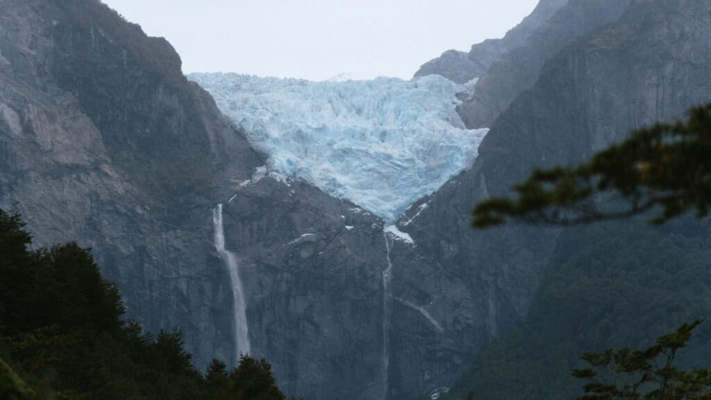
Puyuhuapi is the closest town to the Parque Nacional Queulat and its famous Ventisquero Colgante (aka Hanging Glacier).
The blue glacier is suspended inside a rocky cliff face, with a thundering waterfall of glacier melt tumbling into the lagoon below, often shrouded in an atmospheric mist. It is one of the most iconic attractions on the Carretera Austral, and a stunning postcard you must see with your own eyes.
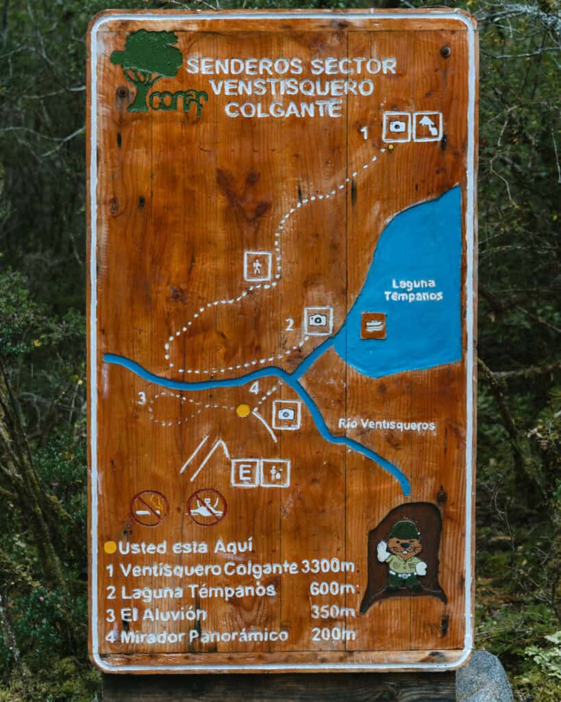
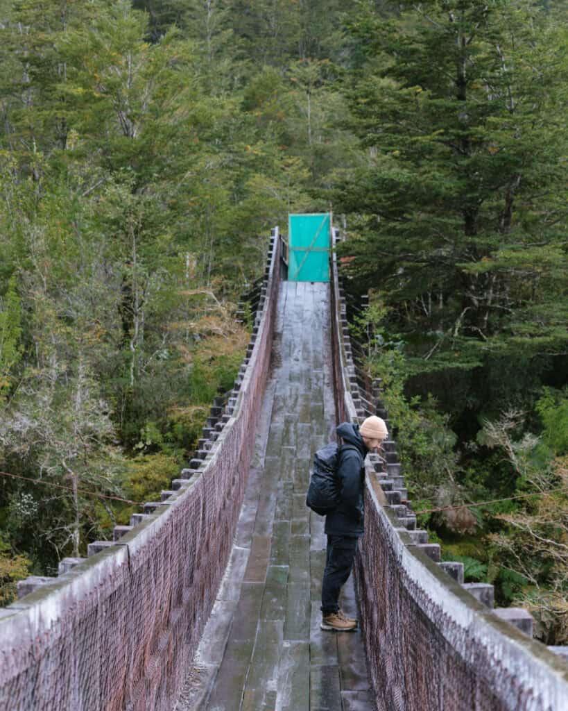
The main entrance to the park to see the glacier is approximately 30 minutes south of Puyuhuapi. From here, there are several lookouts and trails to see the glacier, as well as the opportunity to take a boat ride in the lagoon to get up close.
I’ve got a more detailed guide to the Queulat National Park with a lot more information.
If you don’t have a vehicle, there is allegedly a bus (according to this website, the best I’ve found for the Carretera Austral) that leaves Puyuhuapi at 8:30 am and returns from the park at 1:00 pm. You can also organise a shared transfer with Experienca Austral, the major tour company in Puyhuapi.
You must purchase your tickets online in advance! Do not turn up at the park without them. They don’t sell tickets at the park, and there is no phone service or wifi to purchase online on the spot.
The park is closed on Mondays, and the last entry to the park is at 2:30 pm, but note that there are earlier deadlines if you want to hike the main trail, Sendero Ventisquero Colgante.
🧊 Read our detailed guide to the Queulat National Park

2. Kayak in the fjord
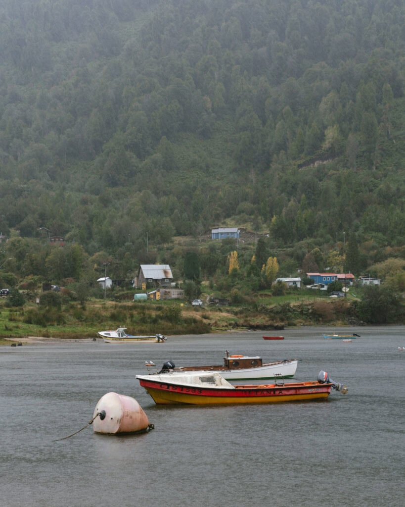
Puyuhuapi is one of only a few towns along the Carretera Austral that is on the ocean. Well, in this case, it’s actually the Fiordo Puyuhuapi, but it is salt water and it’s connected to the ocean!
This means you’ve got a great chance of spotting dolphins, possibly sea lions and whales and lots of seabirds. The fjord is bordered by forest-clad mountains, and this area is just so green.
Unfortunately, the weather was not on our side in Puyuhuapi, and the idea of kayaking in torrential rain with a sheet of fog in front of us wasn’t too appealing. I was really disappointed to miss out on this activity, though.
Experiencia Austral no longer offers kayak rentals where you can explore the fjord independently, they only have tours (below). They told me if you want to rent a kayak and explore solo to contact this guy on WhatsApp: Javier Ponce +56 9 6788 1394. I haven’t personally done this, but worth checking out if you don’t want to join a tour.
They also offer guided kayak tours, where you will paddle around the fjord and dock at Pozón Tronador for a hike through beautiful forest and to a waterfall that is inaccessible by land.
If you’d prefer something less active and want to focus on taking photos and enjoying the views, you can take a boat tour with Experienca Austral.
3. Soak in hot springs
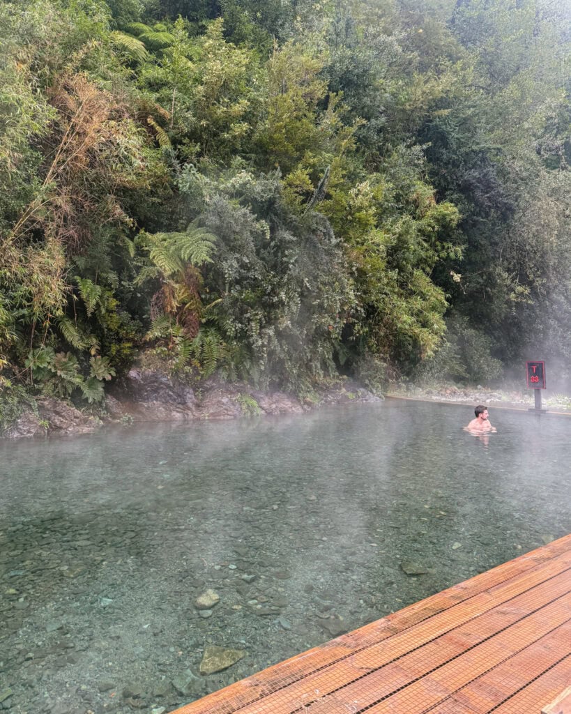
The area around Puyuhuapi has a lot of thermal springs, and there is no better way to spend a cool, rainy day (likely!) than soaking your muscles in some steamy aguas termales.
Termas Ventisquero is the most popular option. They are located south of town near the national park, perched on the cliff overlooking the fjord.
They have four different pools of varying temperatures, where you can soak and look for dolphins and other marine life in the fjord. You need to reserve your spot in advance, as they have different time slots.
If you’ve got a bit of give in your budget, you can book in for a stay at the Puyuhuapi Lodge & Spa. Accessed via boat only, this luxury lodge across the fjord has its own private set of thermal springs, nestled amongst the forest. They are only for guests, so the chances of having a pool to yourself are pretty good!
♨️ For a remote, rustic and natural hot spring experience, look into Termas El Sauce. They are about an hour north of Puyuhuapi, en route to Chaiten.
4. Explore the town
There’s not much to Puyuhuapi, but you should spend an hour or so wandering around town.
Plaza Puyuhuapi is the lovely little central square, overlooking the fjord. There is a small pier right in front of the plaza you can walk out and take photos.
You will see a lot of German-style wooden houses and buildings around the town, including the cute Iglesia de Puyuhuapi.
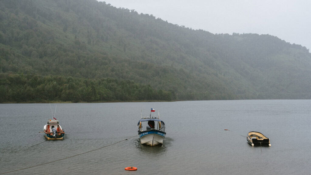
There is a Costanera road that runs along the waterfront, and it’s possible to walk all the way to the bigger dock, Muelle de Puyuhuapi, which is often frequented by local fishermen.
We read that there is a walking tour of the town, showcasing the German history and architecture. I can’t confirm the time, location, or whether this is still actually running, but I would suggest asking around at your accommodation.
5. Hike Mirador Sendero Los Canelos
If you’re looking for an easy stroll and a beautiful view over the town and the fjord, Los Canelos is a great option.
The trail is 2.6 km (1.6 mi) return, passing by a river, through some open fields, then a forest, before opening out to a beautiful view at the top. You can see over the fjord and the snow-capped peaks of Queulat National Park, and even a glimpse of the glacier on a clear day!
Wear decent shoes, as it’s often very muddy.
This trail does pass private property, and there is a fee of 2,000 CLP (in cash).
Where to eat in Puyuhuapi
Puyuhuapi is not short of restaurants, but good restaurants? Yeah, they’re a little bit short on those!
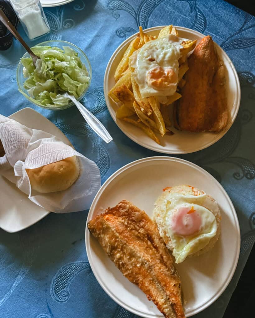
I shouldn’t judge, given we visited during Easter with torrential rain, so most of the restaurants weren’t actually open, but regardless, I don’t think this is a culinary hub, like most of the Carretera Austral. Fresh fish and seafood are a given, with its location right on the fjord.
- 🍻 El Muelle: this looked like the best spot in town, by far, and I was so shattered it was closed when we visited. It’s a lovely waterfront restaurant right on the fjord, with German dishes and fresh seafood. We were recommended to try the typical Hopperdietzel beer.
- 🍕 Cafeteria y Pizzeria Arrayanes: pizza and cakes, not the most obvious combo, but they do both very well! The pizzas look big and loaded, and they have all the typical German kuchen to try.
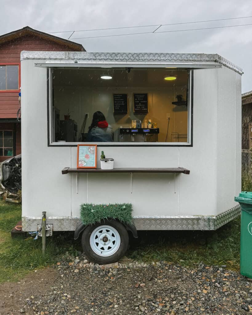
- ☕️ Rocked Cafe: this is a legit coffee van that is set up just across the road from the plaza. They had a huge espresso machine and made a decent latte! Much better than we expected to find in this little town.
- 🍔 Smash Burgers: juicccccy-looking burgers with crispy fries and vegetarian options, can’t go wrong.
- 🥟 La Pica De La Malela: this is a cheap and cosy spot with nice homely meals like cazuela (perfect on a typical rainy day) and yummy empanadas. They also do nice cakes and pastries.
- 🍽️ Sabores de Mi Tierra: the menu here is a little more than just the typical Chilean food. The dishes are well-presented and look quite fancy given the location!
📍 All of these restaurants are pinned on my Carretera Austral custom map
Things to know before visiting Puyuhuapi
- 🌤️ Best time to visit: like all of Patagonia, the best time to visit Puyuhuapi is generally in the warmer months between October – April. Although you should expect rain here at any time of the year, as this is one of the wettest places in all of Chile!
While fall is a lovely time to visit other parts of the Carretera Austral, because Puyuhuapi has a much wetter climate, there can be a lot of rain at this time of year. We visited in April, and unfortunately, it was incredibly wet the entire time we were there.
The peak summer months of December – March are your best bet for possibly dry weather, but you will have to deal with the crowds. Although not as bad as some of its more popular southern neighbours, the Queulat National Park is very popular and can be extremely crowded in peak season.
- 🗓️ How long to stay: Puyuhuapi is pretty small, and the main attraction is definitely the Queulat National Park, which you can see in half a day. 1 – 2 nights here is plenty, unless you want some slow, relaxing days too.
- ⚠️ Safety: we felt completely safe in Puyuhuapi, as we did everywhere on the Carretera Austral. These towns are incredibly welcoming, and people are very friendly.
- 🗣️ Language: Spanish is the official language in Chile, and there is barely any English spoken in the remote towns of the Carretera Austral. Chilean Spanish is notoriously hard to understand, so even if you’ve got a decent level of Spanish, be prepared to struggle with their unique vocabulary, fast speaking and mumbling!
- 💰 Currency: the currency in Chile is the Chilean Peso (CLP). While in some more touristy areas of the country, US Dollars are occasionally accepted for tourist activities, this isn’t the case in Puyuhuapi.
- 💧 Can you drink the water: tap water is safe to drink in most parts of Chilean Patagonia, including Puyuhuapi. It’s also a good idea to check with your accommodation before you drink, just to be sure.

Amenities in Puyuhuapi
- 🛒 Supermarkets: don’t hold out hope for any big supermarkets in Puyuhuapi (Coyhaique is where you want to stock up!), but there are a handful of decently stocked minimarts. We thought Supermercado Ciro was the best one. It was closed when we visited, but there is also a house in town that sells fresh bread. They have all kinds of wholemeal, sourdough, flavoured bread, rolls, it looks delish. I pinned it on my map as ‘Pan’.
- 🏧 ATMs: there are no ATMs in Puyuhuapi, so make sure you come with a stack of cash.
- 💳 Card or cash payments: we weren’t able to pay with card at a couple of places in Puyuhuapi. Plan to pay with cash at some restaurants, campgrounds, etc. This is a tiny town, and internet service can be spotty, so even if places do have a card machine, it doesn’t always work!
- ⛽️ Petrol stations: there is a COPEC in town, however it only sells diesel. The nearest petrol station with unleaded petrol is about 45 km north in La Junta.
- 📱 Phone service and wifi: we had some 4G service with Movistar in Puyuhuapi, it wasn’t great though.
I believe Entel also has service and is considered the best provider for this area, however, due to new laws that came into effect in February 2025 banning foreigners from registering SIM cards in Chile, it’s near impossible to get an Entel SIM as a tourist. We had no problem buying a Movistar one; I think they did some quick thinking to find a workaround, but Entel repeatedly told us in multiple stores it was not possible.
Save hours planning your Carretera Austral road trip with our Handbook + Custom Map

Final thoughts: Puyuhuapi travel guide
Puyuhuapi was a soggy stop on our Carretera Austral road trip, and unfortunately, we didn’t get to do everything we wanted to do here.
However, the little town is very beautiful, and its setting on the fjord with the evergreen forest, dolphins jumping, and glimpses of glaciers is spectacular.
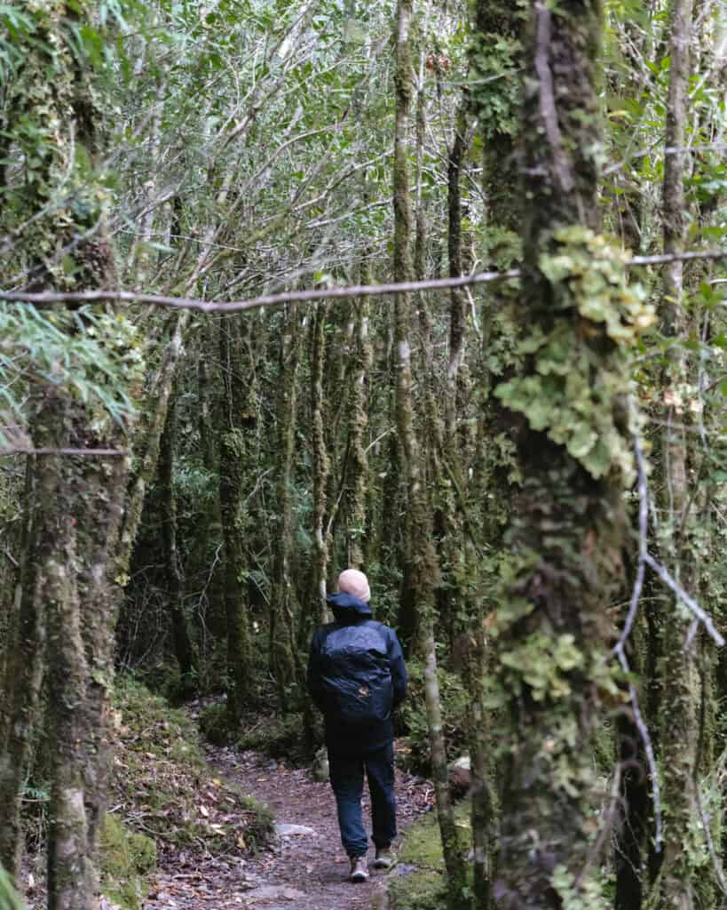
The Queulat National Park is a must-visit in Chilean Patagonia. The forest here was like a fairytale, and even the drive to the park was incredible.
I imagine on a clear day with a sunset view over the fjord, Puyuhuapi would be even more special.
📍 Where to next? If you’re travelling along the Carretera Austral, your next stop will most likely be Chaiten if you’re heading north or Coyhaique if you’re travelling south.
MORE PUYUHUAPI POSTS




The Comments
Latitude Adjustment: A Tale of Two Wanderersl
Great information and format! Thank you!
Sally Rodrick
Latitude Adjustment: A Tale of Two WandererslGlad it was helpful 🙂