
This article contains affiliate links that may earn me a small commission at no extra cost to you. As an Amazon Associate, I earn from qualifying purchases. For more information, see our affiliate disclaimer.
Not a lot of people have heard of the Carretera Austral region of Chile before, but if they have, I can almost guarantee it’s photos of Puerto Rio Tranquilo that they’ve seen!
This small town on the shores of Lago General Carrera, the largest lake in Chile, is the jump-off point for some of the most iconic natural attractions in the region.
From the unique mineral formations known as the Marble Caves to the imposing San Rafael Glacier, or trekking on the Exploradores Glacier, this town is an adventure hub.
Consequently, it’s one of the most touristy towns along the Carretera Austral highway. But with tourists come tourist amenities, and Puerto Rio Tranquilo has plenty of eating options, accommodations for all budgets and basics like petrol, supermarkets and okay phone service.
In this post, I’ll share everything you need to know about Puerto Rio Tranquilo, from the best things to do, where to stay and eat, how to get there and around (whether you’re driving or relying on public transport), and the amenities you’ll find in town.


About Puerto Rio Tranquilo
Puerto Rio Tranquilo is a small town on the western shore of Lago General Carrera. This is the largest lake in Chile and spans across the border into Argentina, where it’s known as Lago Buenos Aires.
Puerto Rio Tranquilo is the most touristy town we encountered along the Carretera Austral. Waiters waved menus at us from outside restaurants, and tour touts shouted offerings for boat trips to the Marble Caves and San Rafael Glacier.
It is still a tiny town, as is typical along the Carretera Austral, but this one has caught the attention of both domestic and international travellers more than others, due to the iconic natural attractions around the area.
Puerto Rio Tranquilo is the principal jump-off point for tours into the Parque Nacional Laguna San Rafael, protecting a huge portion of the Northern Patagonia Icefield. You can go trekking on Glaciar Exploradores or sail right to the face of Glaciar San Rafael in the eponymous lagoon, to watch huge chunks of ice calve.
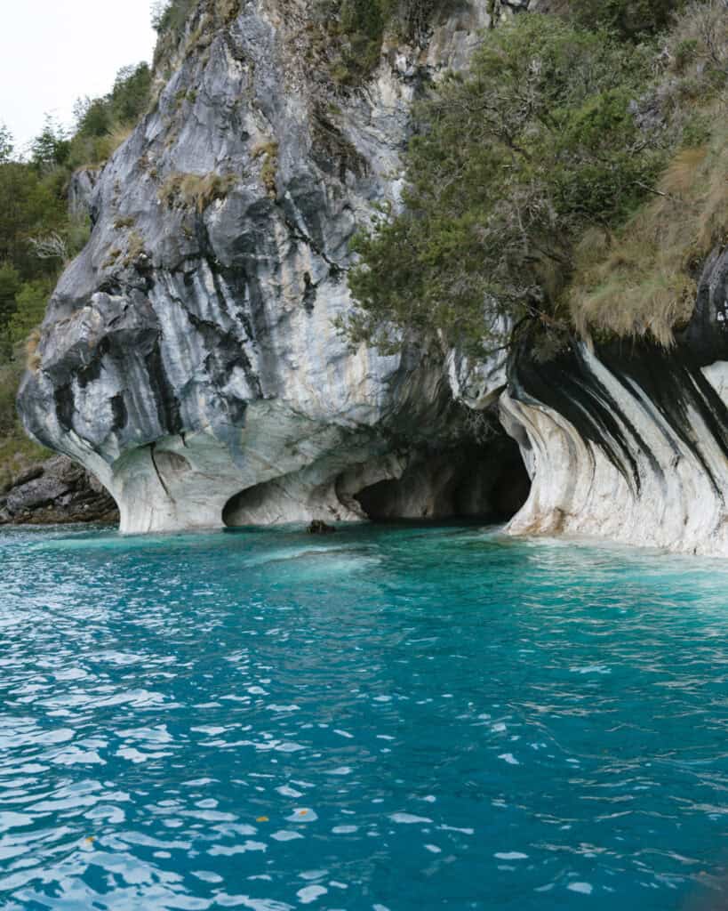
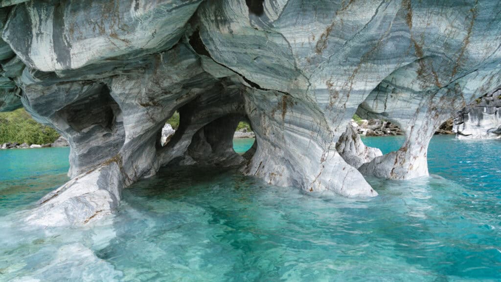
It’s also the closest town to the Cuevas de Marmol (Marble Caves), a collection of stunning natural mineral deposits in the lake, shaped over centuries by wind and water. The image of one particular formation, the Catedral de Marmol (Marble Cathedral), has become an icon of the region, attracting hordes of Chilenos and foreigners alike to the town during the summer months.
There are plenty of restaurants and cafes, and a variety of accommodation options to cater to visitors. There’s a petrol station and a few supermarkets to restock on supplies, making Puerto Rio Tranquilo an essential stop on any Carretera Austral itinerary.
The town itself didn’t captivate us like some of the others along the route, but the adventures we had here were unforgettable.
🛻 Puerto Rio Tranquilo was one stop on our road trip along the Carretera Austral in Chilean Patagonia. Don’t forget to browse all our posts about the Carretera Austral, or if you want to skip the multiple tabs and scribbling notes from my blog, I’ve got you covered with my Carretera Austral Road Trip Handbook. A 365-page eBook compiling everything I know about the highway into one beautifully designed place, available offline in your pocket while you’re on the carreterra!



PLANNING YOUR CARRETERA AUSTRAL ROAD TRIP CAN BE CONFUSING… I KNOW, I’VE BEEN THERE!
I spent months planning our Carretera Austral road trip – jumping between tabs, scribbling notes, and trying to remember ferry times. It’s a confusing region, and it’s easy to get it wrong!
That’s why I created the Carretera Austral Road Trip Handbook: all the info you need in one beautifully designed guide, available offline while you’re on the highway. Pair it with our Custom Google Map (500+ pins!), and you’ll have a clear, stress-free plan for the road trip of a lifetime – before you leave and while you’re on the highway.
Puerto Rio Tranquilo map

How to get to Puerto Rio Tranquilo
- 🚗 By car: Puerto Rio Tranquilo is situated somewhere around the middle of the Carretera Austral. There are no ferries required to get here from its closest neighbouring destinations, just a long, bumpy drive in either direction.
It sits south of Villa Cerro Castillo (~2.5 hours) and the regional hub, Coyhaique, with Balmeceda Airport (3 – 3.5 hours). If you’re travelling north, it’s ~2.5 hours from Cochrane, slightly closer if you’ve made a pit stop in the Valle Chacabuco Sector of Parque Nacional Patagonia like we did.
The highway on either side of PRT is still unpaved, and I think this was probably some of the worst road conditions we had along the whole Carretera Austral. It was very washboard with constant, annoying vibrations for hours.
We travelled to Puerto Rio Tranquilo from the south, and the drive was absolutely gorgeous, despite the bumps.
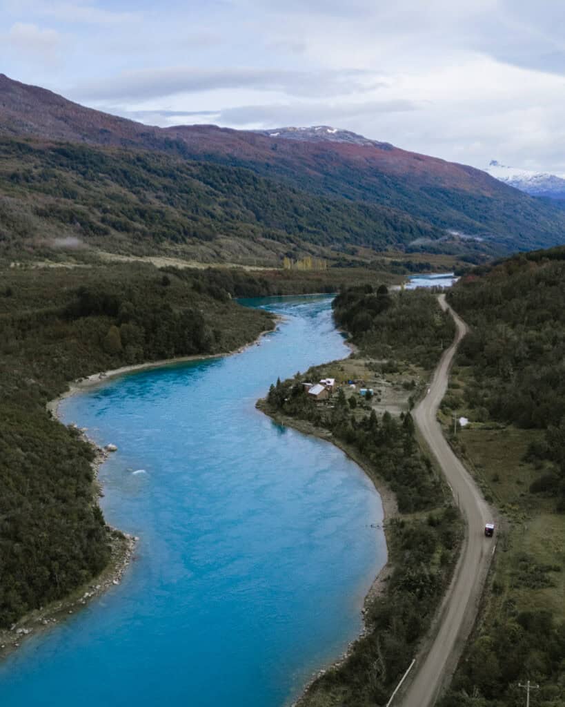
In addition to stopping at La Confluencia of the Ríos Baker and Neff (more on that below), the road follows the bright blue Rio Baker into its source at Lago Bertrand, before cresting over a hill with sweeping views of Lago General Carrera.
It’s fair to say we stopped a lot on this drive, and I must admit, the area around Lago Bertrand is probably somewhere we should have dedicated some more time. If you’ve got a spare night up your sleeve, stay in Puerto Bertrand. It was a tiny but super cute town on the lake, and the water here was just mind-blowing!
📍 I’ve pinned lots of miradors and scenic stops en route to Puerto Rio Tranquilo from Cochrane (south) or Villa Cerro Castillo (north) on my Carretera Austral map
- 🚌 By bus: there are buses to Puerto Rio Tranquilo from Coyhaique (multiple times per day, including one route directly from Balmaceda Airport), Chile Chico (3 times per week, use the Coyhaique route that stops in PRT), and Cochrane (daily, use the Coyhaique route that stops in PRT). The bus terminal is right in the centre of town.
This is the best website I’ve found for bus information along the Carretera Austral. I’d recommend contacting the transport companies directly to confirm, as public transport in this region of Chile is unreliable and changes seasonally.
- 🇦🇷 From Argentina: Puerto Rio Tranquilo doesn’t have a direct route from Argentina, and if you were self-driving across the border, this wouldn’t be your first stop. But it’s worth noting that PRT is not too far from Chile Chico (~3.5 hours), which is one of the most common border crossings along the carretera.
How to get around in Puerto Rio Tranquilo
Like everywhere along the Carretera Austral, having a rental car is the easiest way to get to and around PRT.
However, this is one place along the highway that you could survive without a car. Given the town is geared towards tourists, there are lots of tour companies in the heart of town shuttling visitors around to the glaciers and on lake tours.
If you’re happy to stay in the centre, you could easily survive without a car here. You’d be within easy walking distance of the main dock for boat tours to the Marble Caves, and you can walk to the cluster of tour agencies on the lake, where most glacier-related experiences depart from in a shared van or 4×4 vehicle.

Where to stay in Puerto Rio Tranquilo
🏨 ACCOMMODATION
Being one of the more ‘touristy’ towns along the carretera, there is a decent range of accommodation options in Puerto Rio Tranquilo.
If you’ve got a vehicle, I’d go for something just out of town along the lake for a more peaceful, natural stay. Equally, there are some great, affordable options in the centre.
- 💰 Rimaya Hostel
- 💰 Los Álamos
- 💰💰 Apart Home Costanera
- 💰💰 Tranquilo Austral
- 💰💰💰 Chelenko Lodge
- 💰💰💰 Hotel Bacaris
🏕️ CAMPING
When we visited, it was permitted to park in the public parking in the centre of Puerto Rio Tranquilo and sleep for free if you’re camping on the Carretera Austral in a vehicle. However, there have since been some mixed reviews, with reports of police moving people on from this spot.
You’ve never been allowed to park on the beach, but this car park located here was allowed. Do not drive onto the sand, just stay in the car park that is on the side of the road. I’m not sure if the police are moving people on who are camping in tents, because some recent reviews on iOverlander still say it was fine parking in an RV, but look at the latest reviews before your visit and have a plan B if this is no longer an option.
Regardless, the car park is literally on the Carretera Austral, which runs through the centre of town, so there is some traffic noise and trucks passing, but it’s not usually all night.
HOWEVER, if you’re visiting on a weekend (Friday or Saturday night), I would avoid this spot. We had an awful sleep here, with one of the bars blasting music right across the road until 4:00 am.
We didn’t stay a second night and instead drove about an hour north towards our next stop and slept on a beautiful river with nothing but the sounds of nature! Here are the iOverlander details.
If you want to sleep somewhere else around town for free, there are a few spots along the road into Valle Exploradores, however, it’s quite a detour on a bumpy road if you aren’t actually planning to drive into the valley.
If you want more amenities (or are willing to pay for a quiet sleep!), there are plenty of paid campgrounds around town. Camping Pudu and Camping Río Chirifo are two of the better-rated options amongst a pretty poor collection. The prices are pretty high for the value, at least 10,000 CLP (~$10 USD) per person, per night.
Things to do in Puerto Rio Tranquilo
1. See the Marble Caves
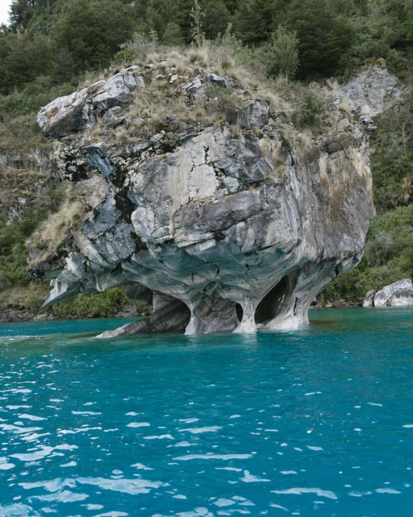
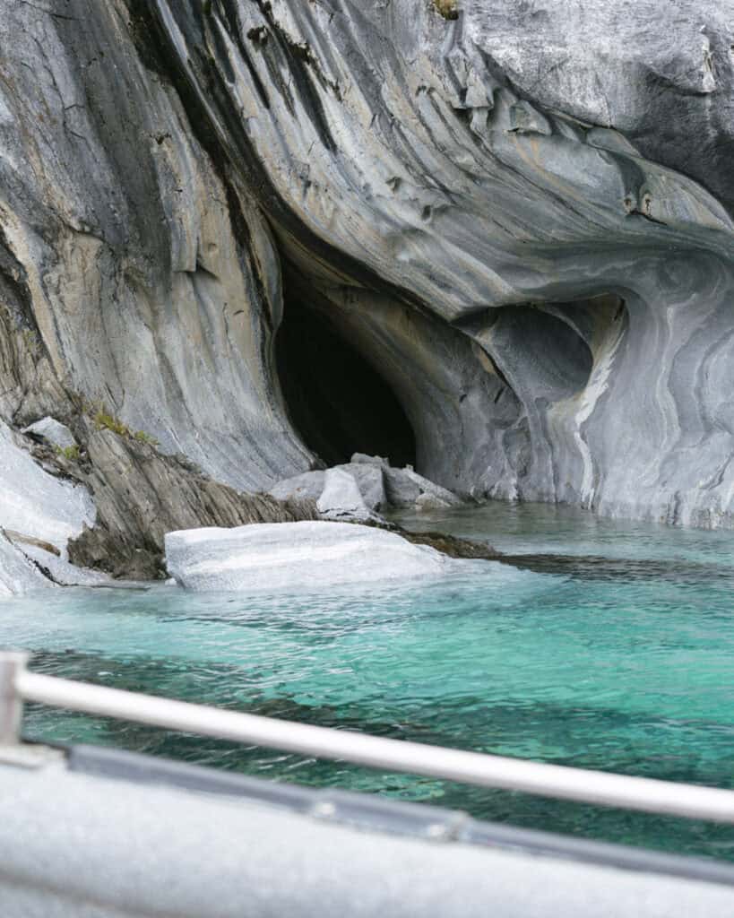
Confusingly known by many different names (Marble Caves, Marble Chapel, Capilla de Marmol, Cuevas de Marmol, etc., etc.), these natural rock formations are the most popular tourist attraction on the Carretera Austral.
If you’ve spent any time researching the region, you would have seen the iconic image of the Catedral de Marmol (Marble Cathedral) soaring out of the bright blue waters of Lago General Carrera.
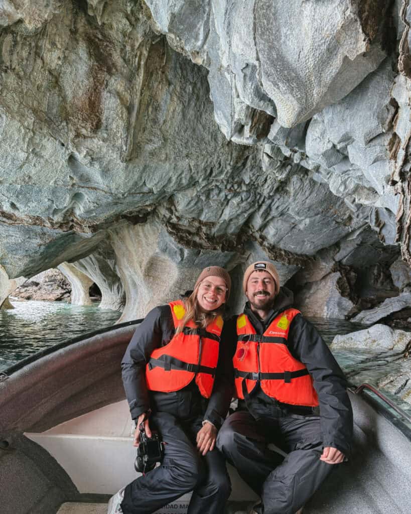
These natural marble formations on the shores of Chile’s largest lake are pretty special. They probably weren’t quite as spectacular as their reputation will have you believe, but maybe that was just our impression as we sadly had a grey day.
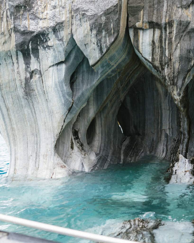
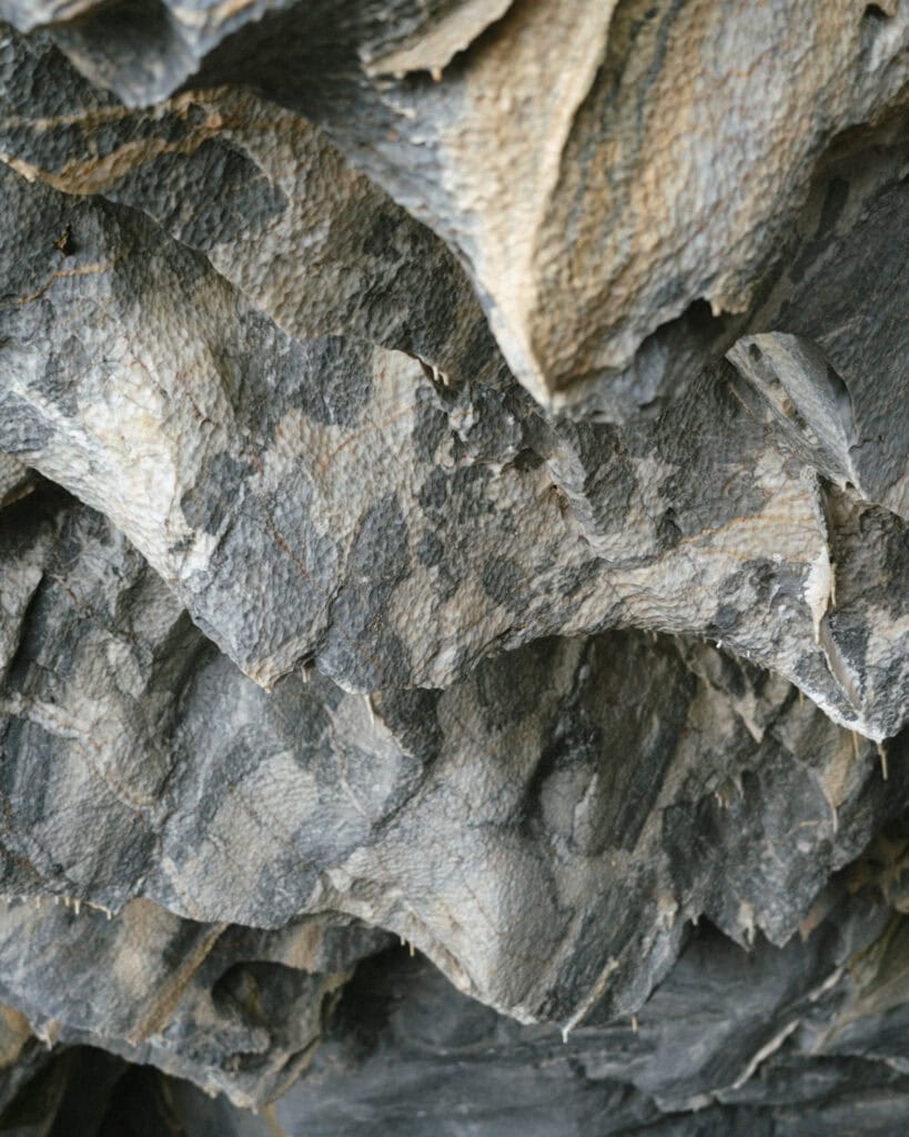
Centuries of crashing waves and roaring Patagonian winds have eroded and shaped these unique mineral formations. Marble formations soar out of the lake, one resembling a chapel (hence the name), caves and caverns are dotted along the shoreline, and there are beautiful patterns and shapes in the marble.
To see these unique mineral formations, you’ll need to join a boat or a kayak tour. There are two ports these tours most commonly depart from, one in town and the other, Puerto Marmol, about 10 minutes south.
I’ve got a more detailed guide to visiting the Marble Caves, with a comparison of the ports, and boat vs kayak tours, how much the tours cost and reputable operators.
💎 Read our complete guide to visiting the Marble Caves

2. Walk on Glaciar Exploradores
The Marble Caves were cool, but our most epic experience in Puerto Rio Tranquilo was most definitely walking on Glaciar Exploradores.
Glaciar Exploradores is located inside the Parque Nacional Laguna San Rafael and is part of the Northern Patagonia Icefield.
After weeks in Patagonia, we had seen many glaciers and turned down many chances to walk onto the ice (namely at the Grey Glacier in Torres del Paine and Perito Moreno Glacier in Argentina).
We were saving ourselves (and our pennies) to finally hit the ice at Glaciar Exploradores.
The reason for waiting was: 1) to save some money, as the glacier trekking tours here are substantially cheaper than in the more popular areas of Patagonia, and 2) to have a quieter, less crowded experience with a small group.
It’s a lengthier hike than a lot of the other glacier tours in the region, around ~14 km return, which can only be done with a certified guide and the correct equipment.
It was everything we hoped it would be and more. Donning the crampons and stepping onto ice for the first time in our lives was a truly special experience. As Australians, all the glaciers we saw around Patagonia blew our minds (we don’t have a lot of ice in Australia!), but this experience was above and beyond, and worth every penny.
I’ve written a more detailed guide about our experience trekking on the Glaciar Exploradores. It has way more information about the national park, how the tours run and recommended operators.
🧊 Read our complete guide to Glaciar Exploradores


3. Take a boat ride to Glaciar San Rafael
The other popular experience on offer from Puerto Rio Tranquilo is a boat ride to the San Rafael Glacier. This glacier feeds into the Laguna San Rafael, the namesake of the national park.
It’s another all-day experience, as the boat port is deep inside the park, with a ~2.5-hour drive from Puerto Rio Tranquilo to the port, and a ~2-hour boat ride to the face of the glacier.
The journey is worth the effort, though, to see this spectacular glacier up close, calving huge chunks of ice into the lagoon. All the glaciers in the region are beautiful, but the remoteness and difficulty of reaching this one make it all the more special.
Another benefit of doing a glacier tour like this in Chilean Patagonia vs Argentine Patagonia is that there are marine animals around the glaciers in Chile. This side of Patagonia is a network of fjords connected to the ocean, so it’s possible to see wildlife like sea lions and dolphins on the boat trip to the glacier.
Basically every tour company in Puerto Rio Tranquilo offers day tours to the San Rafael Glacier, but these are a few of the top-rated companies:
⛴️ The San Rafael Glacier is also accessible by boat from the town of Puerto Chacabuco, further north on the Carretera Austral. However, the return journey is 10+ hours by large boat, and you switch to smaller zodiac-style boats at the lagoon. It is a huge day, on a massive boat with lots of people, and I would highly recommend opting for the trip from Puerto Rio Tranquilo.

4. Drive into Valle Exploradores
I’m rewinding a little bit here to explain more about the Parque Nacional Laguna San Rafael and Valle Exploradores.
Until 2010, accessing the Parque Nacional Laguna San Rafael was incredibly difficult. Then the X-783 road was built from Puerto Rio Tranquilo to Bahia Exploradores. The 85 km (53 mi) dirt road has eased access to the park, making treks on Glaciar Exploradores and boat tours to Glaciar San Rafael possible.
I say eased access, but not easy access. The road is still very bumpy and rutted, and the valley is virtually untouched, with just a few farms at its entrance, before the national park begins.
The road passes through a beautiful valley, Valle Exploradores, which forms part of the national park. It runs next to the Rio Exploradores, through lush rainforest, with exceptional views of Monte San Valentin, the highest peak in Patagonia, standing at 4,058 m tall.
If you are trekking on the Exploradores Glacier or taking a boat ride to the San Rafael Glacier, you will be taking this road.
Most tour companies offer you the choice of using their transport or driving your own vehicle, if you’ve got a 4×4 or high clearance car. It’s a long and bumpy ride, and for much of the year, you will need to drive at least one way in the dark, given the tours are long and start early. Unless you’re planning to camp or stay in the area after your tour, I’d just go with the tour company’s transport and give yourself a break from driving.
However, the appeal of Valle Exploradores is that you can drive into this area and parts of the national park without taking a tour. If you don’t want to fork out to trek on the glacier or take a boat ride, you can see some of the area independently.
Simply driving through the valley is stunning, and this is a really raw and wild part of Patagonia with very few other people around.
Along the way, you’ll see the Cascada La Nutria, a waterfall right on the side of the road. There are plenty of pullouts to enjoy the views of the Rio Exploradores, and if you’re blessed with a clear day, you will see Monte San Valentin peaking out!
After about 50 km (31 mi), you will reach one of the national park CONAF offices for the Exploradores Sector of the park. From here, you can pay your entry fee (11,400 CLP for foreigners) and hike on one of the self-guided trails to see Glaciar Exploradores.
You are not allowed to trek onto the glacier without an authorised guide, but there are a couple of trails that lead to miradors of the glacier that you can do solo.
There’s not a lot of accurate information online, but there are maps at the park office, and the rangers can explain it to you. From what I’ve read, I think it’s about 5 km (3.1 mi) return that goes to two miradors.
Note that this sector is closed on Mondays. According to Chile’s national park website, you can complete a self-guided hike from Tuesday – Sunday between 8:30 am – 10:00 am, with last entry at 5:00 pm. I don’t think that is entirely accurate, but there is not a lot of reliable information about this area online (and we did a guided hike onto the glacier with a tour operator, so we didn’t find out for ourselves!).


5. Explore the town
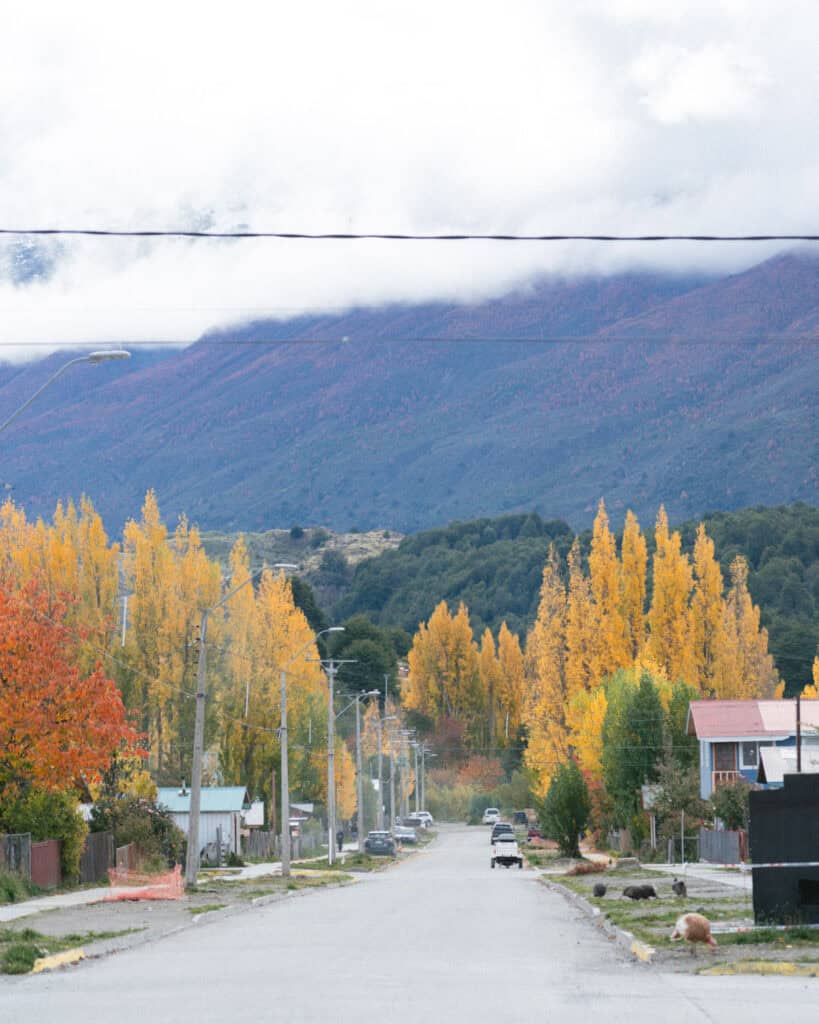
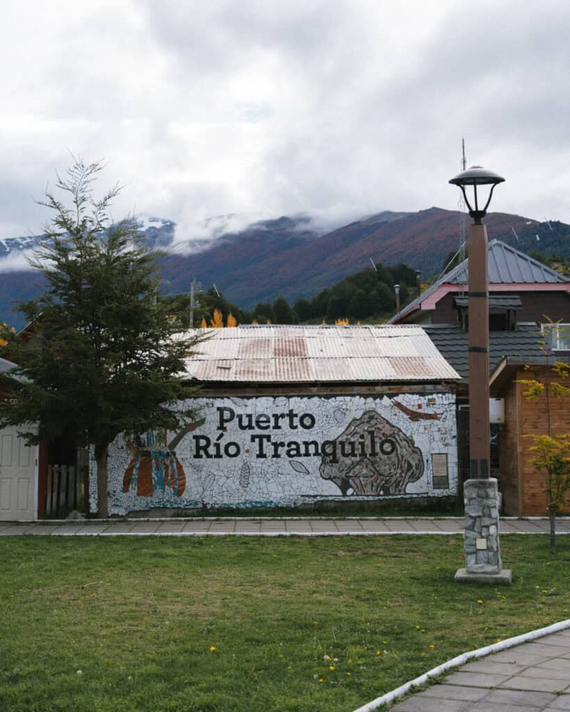
Puerto Rio Tranquilo wasn’t the most charming town we visited along the Carretera Austral. There was nothing bad about it, it just didn’t have the same friendly vibe as Cochrane or the far-flung remoteness of Villa O’Higgins.
Despite this, it was worth a quick wander around! In a place like this that is so popular for particular activities (e.g. the Marble Caves), it’s easy to accidentally ignore the town entirely.
You’ll only need an hour, but take yourself on a stroll around Puerto Rio Tranquilo. There aren’t too many landmarks or particular sights to see, but it’s only fair to give the town some time!
Like every Chilean town, there is a square (Plaza de Rio Tranquilo), with a tidy grid of mostly unpaved streets branching out from there.
The town is adjacent to Lago General Carrera, so you can wander down to a nice beach. It wasn’t so appealing when we visited on a cold, grey day, but I can imagine this being a lovely spot for a picnic or a swim on a summer day.
There is also a small museum, the Museo Puerto Rio Tranquil, near the lakefront that houses information about the first settlers of the town. The hours are inconsistent, and I think it’s free.

6. Hike to Mirador de la Roca Negra
The prospect of walking up a muddy hill in the rain didn’t sound too good to us, so we skipped this hike. But if you’re looking for somewhere to stretch your legs within town, this trail is a good option.
It’s only 3.5 km out-and-back, but it’s a steep climb to the hill above town. You’re rewarded with sweeping views of Lago General Carrera (best seen on a sunny day with blue skies!).
You’ll find a map on AllTrails. Make sure you read the latest reviews, as there was mention of a private property sign being hung along the trail.
We were hoping to find a trail or at least a short walk along the lakefront, but we didn’t come across anything. If you find any good places to walk near Lago General Carrera, I’d love to know.
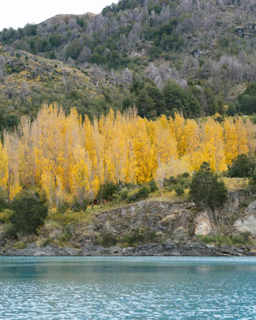
7. See the confluence of the Rios Baker and Neff
This one is not quite in Puerto Rio Tranquilo, but something you should do before you arrive (if you’re travelling north) or after you leave (if you’re travelling south along the Carretera Austral).
Located between Cochrane and Puerto Rio Tranquilo, the confluencia is the point where the Rio Baker meets the Rio Neff.
The vibrant turquoise Rio Baker is the largest river in Chile by water volume and flows through a large portion of the Carretera Austral region before emptying into the sea at Caleta Tortel (where we camped alongside it, right before it joined the Tortel Fjord).
The Rio Neff is a glacier-fed river, with a milky grey colour caused by the sediment in the water from the glacier rubbing against the bedrock. It’s not uncommon to see milky bodies of water around Patagonia. They’re not dirty, they’re just full of glacier flour, as it’s called.
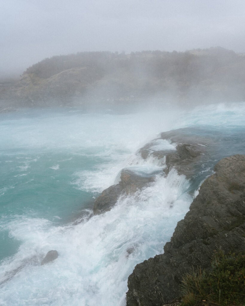
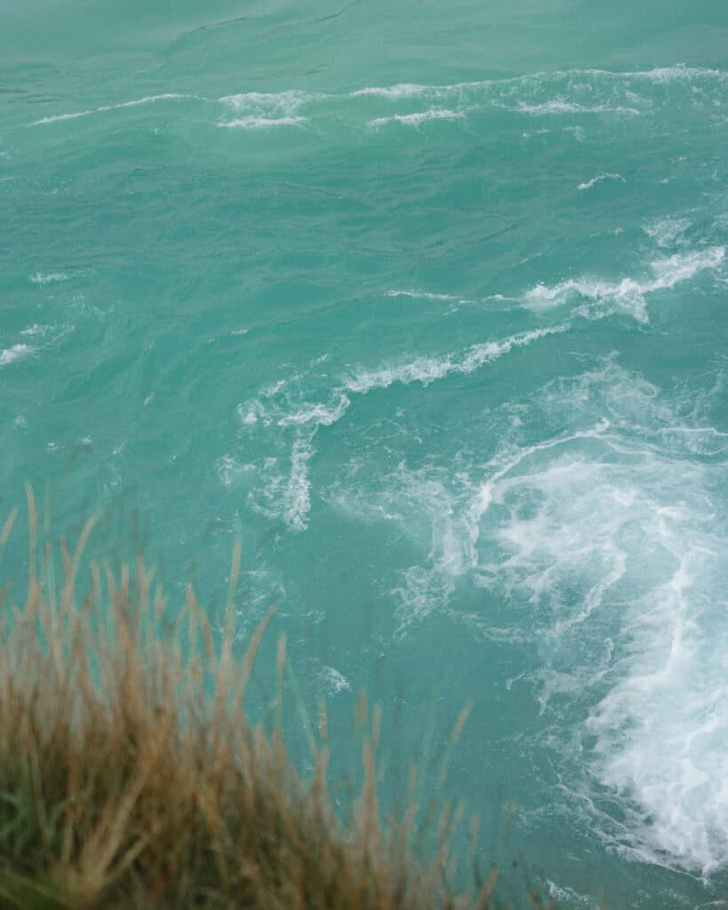
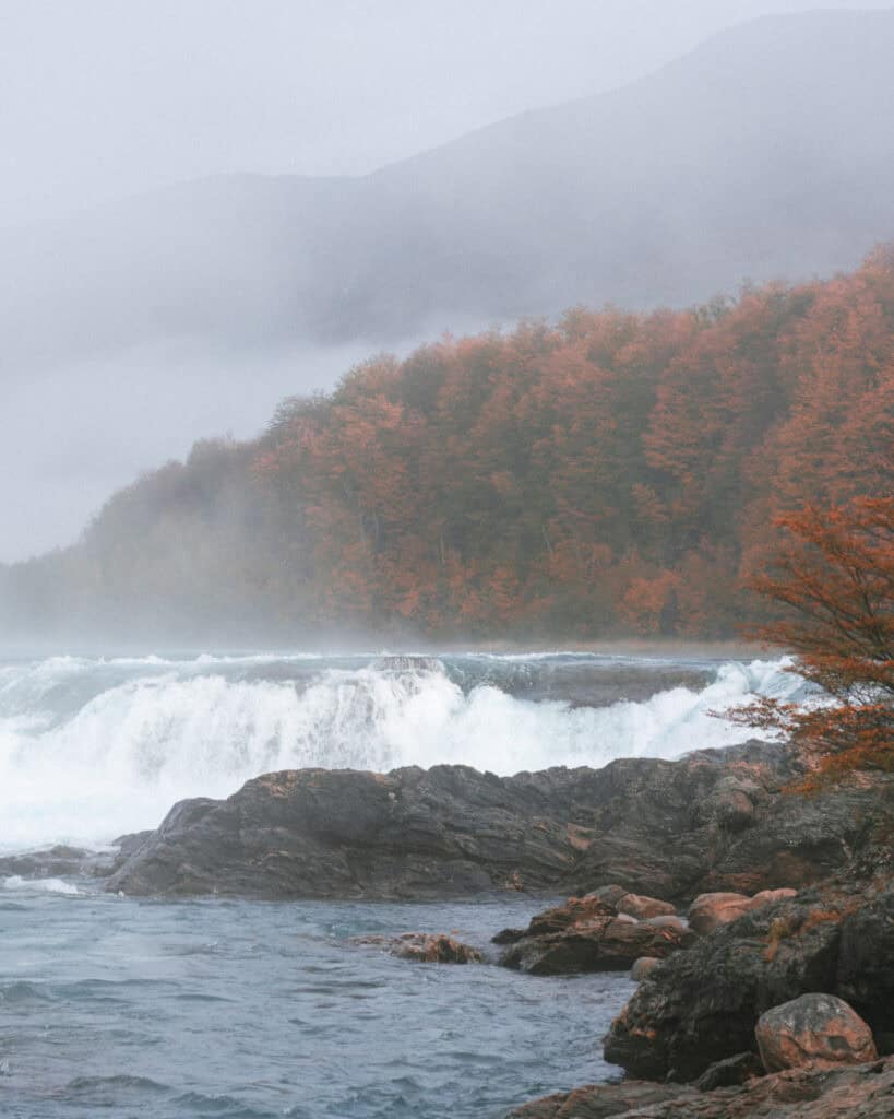
These two distinctly coloured bodies of water meet at a dramatic confluence at a curve in the river, where the Rio Baker picks up speed as it drops down a few small waterfalls and tumbles into a swirling cauldron, picking up the Rio Neff and continuing on its way.
There is a short trail along the side of the Carretera Austral, 1.5 hours from Puerto Rio Tranquilo and 45 minutes from Cochrane. It’s clearly marked with plenty of off-street parking, and it’s entirely free. This is definitely worth a stop as you’re driving in or out of Puerto Rio Tranquilo.
Where to eat in Puerto Rio Tranquilo
There are actually quite a few restaurants and cafes to choose from in Puerto Rio Tranquilo! They’re all open and pumping in the summer high season, but come May, it’s a different story as many close down for the winter.
There is a string of restaurants along the main road near the lake. Most had touts out the front, beckoning you in and waving around menus. I’m not sure how good they are, and we saw a few stinker reviews on Google Maps, so just be cautious if you’re choosing something in this area!
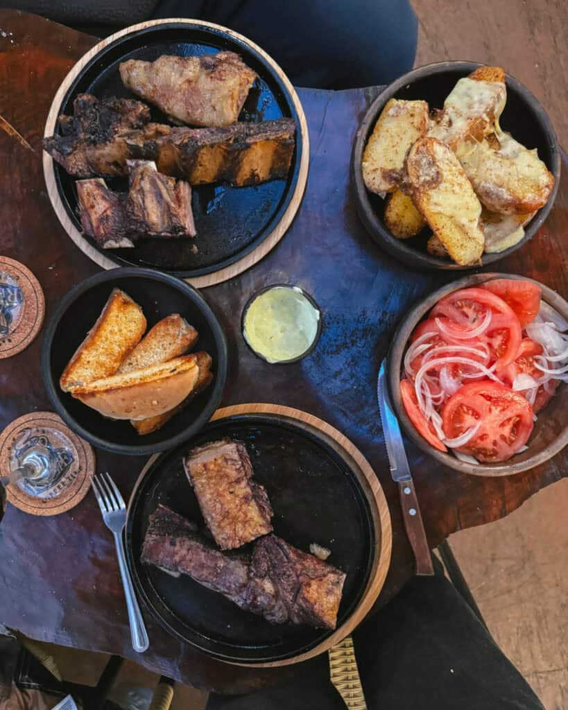
- 🐑 La Fogata: if you want a truly memorable meal on the Carretera Austral, you’d better hope La Fogata is open! A cosy restaurant with traditional Patagonian lamb cooked on a spit over an open fire. The BBQ is in the centre of the restaurant, so you get to watch the process, see the meat cooking on open coals and watch the chef expertly slice and serve the lamb. The owner was a one-man band when we visited on the cusp of low season, but he was so kind and welcoming, and the service was excellent. It felt like we were eating in someone’s home, not a restaurant.
The menu and hours change seasonally, but when we visited, it was a set menu that included fresh bread and dip, HEAPS of lamb with sides of potatoes (delish), salad, and a nice tea to finish off. Our bill came to 61,000 CLP (~$60 USD), including two glasses of wine and a tip – not bad!
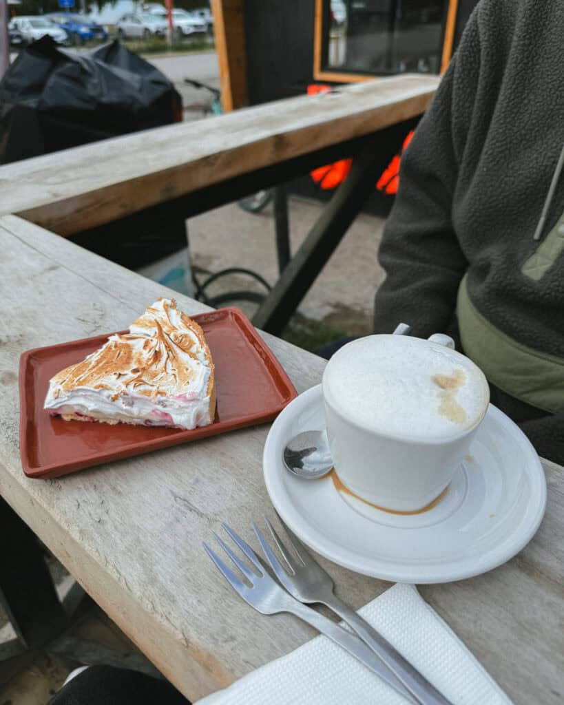
- ☕️ Cafe la Estacion: decent coffee by the carretera standards and some nice cakes and pies just opposite the lake. Not mind-blowing, but comparatively good given the location!
- 🍕Restaurante Cerveceria Rio Tranquilo: we got a take-away chorizo pizza from here to take back with us to our camp spot, and it was delicious! We weren’t expecting anything special, but the thin base and homemade dough was actually incredible.
- 🥐 Panaderia 4 Bendiciones: part bakery part minimart part wholefood store, this is a good option in town for fresh bread, savoury pastries and yummy garlic rolls, as well as empanadas.
- 🍕 La Matera: this was our first choice pizza place, but unfortunately, it was closed on the day we wanted to visit. It’s a permanent food truck set up near the plaza, and the pizzas look excellent.
- 🥗 Cafe Chirifo: an unexpected spot with fresh, healthy and vegan options. Think buddha bowls, veggie curries and vegan baked goods.
- 🚌 Ruta Sur Foodtruck: if you’re looking for cheap and easy, this converted old school bus has the typical Chileno fast foods – completos, chorillanas, lomos.
- 🐟 Casa Bruja: if you want another ‘nice’ meal after La Fogata, this restaurant is the next best thing. It’s slightly more upscale than the other options, with menu options like salmon, pisco sours and lamb.
📍 All of these restaurants are pinned on my Carretera Austral custom map
Things to know before visiting Puerto Rio Tranquilo
- 🌤️ Best time to visit: like all of Patagonia, the best time to visit Puerto Rio Tranquilo is generally in the warmer months between October – April. Although you should expect wild weather at any time of the year, with rain, wind, snow and sun always possible – this is Patagonia after all!
In spring (October and November), the weather is starting to warm up, although you should still expect a fair amount of snow around, but things are thawing, and flowers are blooming.
Summer (December, January and February) is peak season, and Puerto Rio Tranquilo is definitely the busiest and most touristy spot on the Carretera Austral, so you might feel the crowds more than in other areas.
Although temperatures are warmer in summer, the famous Patagonian winds are at their wildest, and they can impact boat activities on Lago General Carrera.
Early fall (March and April) can still have beautiful sunny days, less wind, fewer crowds and stunning autumn colours. We weren’t so lucky with the weather in mid-April, but the town wasn’t crowded. I wouldn’t have wanted to visit much later than we did, as it felt like much of the town was already winding down for the season.
- 🗓️ How long to stay: there are lots of tour options available from Puerto Rio Tranquilo, and quite a few of them are all-day experiences, so you’ll need to take this into account when planning how long to stay. If you’re doing the Glaciar Exploradores ice trek and the Glaciar San Rafael cruise, you’ll need at least 3 nights, as you generally leave quite early and get back quite late from these excursions. We spent 2 nights here and it was perfect for us, just doing one of the glacier experiences.
- ⚠️ Safety: we felt completely safe in Puerto Rio Tranquilo, as we did everywhere on the Carretera Austral.
- 🗣️ Language: Spanish is the official language in Chile, and there is barely any English spoken in the remote towns of the Carretera Austral. Chilean Spanish is notoriously hard to understand, so even if you’ve got a decent level of Spanish, be prepared to struggle with their unique vocabulary, fast speaking and mumbling!
- 💰 Currency: the currency in Chile is the Chilean Peso (CLP). While in some more touristy areas of the country, US Dollars are occasionally accepted for tourist activities, this isn’t the case in Puerto Rio Tranquilo.
- 💧 Can you drink the water: tap water is safe to drink in most parts of Chilean Patagonia, but I can’t verify in Puerto Rio Tranquilo. We had filtered drinking water in our camper, but I have read that the tap water is actually not safe here. Your accommodation will let you know if the water is okay to drink or not.
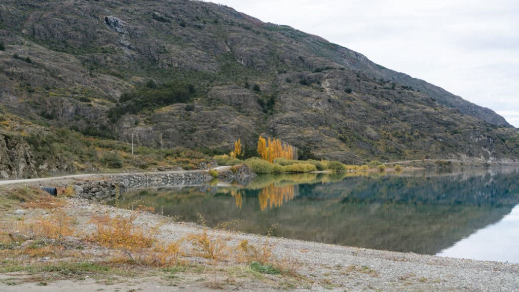
Amenities in Puerto Rio Tranquilo
- 🛒 Supermarkets: Campos de Hielo was the biggest supermarket we found in town. It was a small store, but absolutely jam-packed with products from floor to ceiling. They had some fresh produce and meat, but no bread. However, there were a few good bakeries around town to cater for this. Panaderia 4 Bendiciones was a great option for bread, and also whole foods like fresh nuts and seeds and homemade muesli and granola.
- 🏧 ATMs: there are NO functioning ATMs in Puerto Rio Tranquilo. Come fully stocked with cash from either Cochrane (south) or Coyhaique (north). This includes possibly enough cash to pay for pricey day tours to glaciers, in case your tour company doesn’t have a card machine or it’s not functioning.
- 💳 Card or cash payments: we had no problem paying with card at a few restaurants, a tour company, gas station and the supermarket. But there were a few occasions in PRT where people did not accept card (our Marble Caves tour, for example). You should always keep a healthy supply of cash on the Carretera Austral, as paying by card is not always a given!
- ⛽️ Petrol stations: yes, there is a COPEC station in Puerto Rio Tranquilo with all types of unleaded fuel (1,453 CLP for 95) and diesel (1,187 CLP). These prices probably don’t mean anything to you and will certainly change by the time you visit, but as a comparison to other destinations on the Carretera Austral, they were quite a bit cheaper. There is air for your tyres and a small bike service/repair area. We were also able to fill up our camper water tank from a tap here.
- 📱 Phone service and wifi: we had 4G and even some 5G service with Movistar in Puerto Rio Tranquilo, our phones worked totally fine. That was in the centre of town, as soon as we drove out of the immediate centro to the Valle Exploradores, there was nothing.
I believe Entel also has service and is considered the best provider for this area, however, due to new laws that came into effect in February 2025 banning foreigners from registering SIM cards in Chile, it’s nearly impossible to get an Entel SIM as a tourist. We had no problem buying a Movistar one; I think they did some quick thinking to find a workaround, but Entel repeatedly told us in multiple stores that it was not possible.
We didn’t use wifi anywhere in Puerto Rio Tranquilo (we didn’t need it, our phones were working fine in our camper), but I imagine it would be a reasonable speed given the phone service.
Save hours planning your Carretera Austral road trip with our Handbook + Custom Map

Final thoughts: Puerto Rio Tranquilo travel guide
Puerto Rio Tranquilo is full of adventures. I can’t say the town itself stole our hearts like others did along our road trip on the highway, but regardless, it’s a must-visit as a jump-off point for the stunning surroundings.
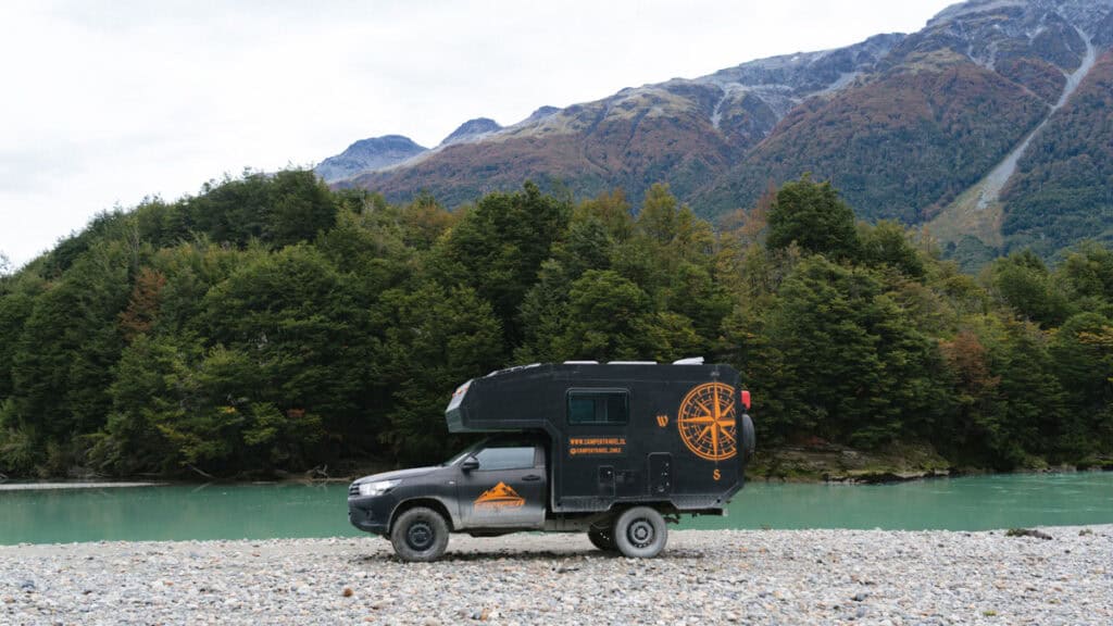
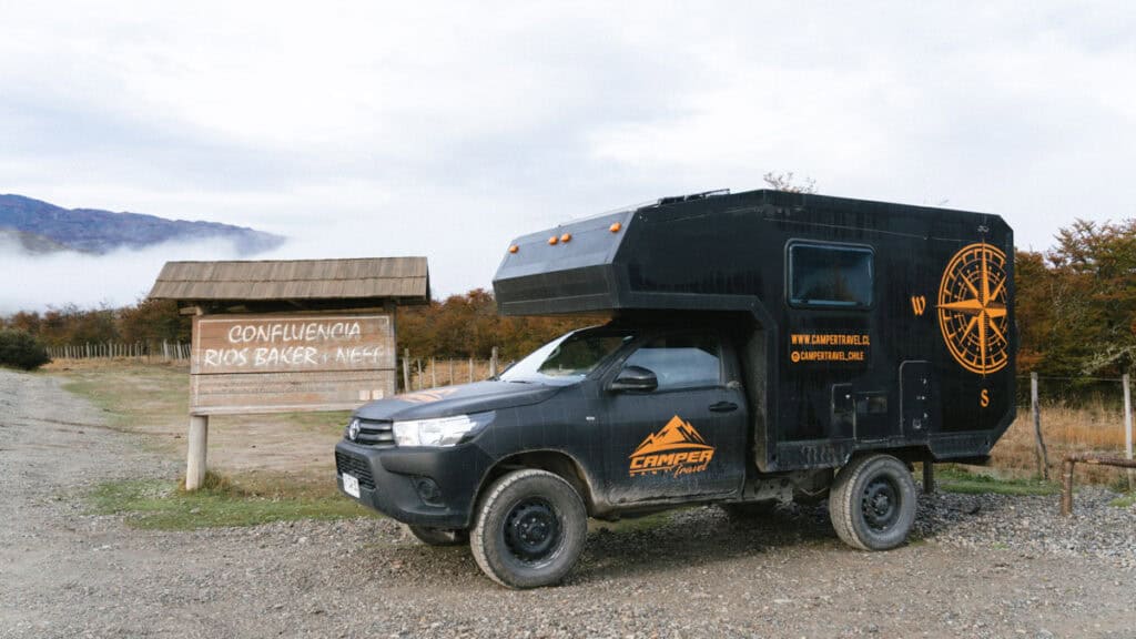
We did visit right at the end of the season, with some bad weather and a rough night’s sleep in our Camper Travel Chile camper across the road from a rowdy bar, so that may have influenced our opinion! I can imagine in the height of summer, when the sky is blue and the lake is sparkling, the nights are long and the town is full of people, it would be the place to be.
Even still, walking on the Exploradores Glacier is, to this day, one of our most memorable travel experiences, and we are so glad we saved a glacier trek for this area of Patagonia.
📍 Where to next? If you’re travelling along the Carretera Austral, your next stop will most likely be Villa Cerro Castillo if you’re heading north or Cochrane and Parque Nacional Patagonia if you’re travelling south.
MORE PUERTO RIO TRANQUILO POSTS
- How to Visit the Marble Caves in Chile: Worth the Journey?
- Trekking on Glaciar Exploradores: Our Ice Hike Experience



The Comments
David
Hi Sally,
Do you know if there are public bus from Puerto Rio Tranquilo to Balmaceda Airport?
From your bus website I found that there is bus from Puerto Rio Tranquilo to Coyhaique at 7 am everyday so the worst case scenario would be Puerto Rio Tranquilo to Coyhaique and then catch a bus to reach Balmaceda Airport.
https://carretera-austral.cl/buses-y-transporte-publico/
I read the same website before and tried WhatsApp but there was no response.
I am planning a trip to Chile in March/April next year. Thank you,
David
Sally Rodrick
DavidHi David,
I wish I had some more detailed info for you. We did this whole stretch by car, purely because the buses are so tough and infrequent. I would say that there SHOULD be a bus to the airport, given there is one that goes from the airport to PRT. At the very least you could take the bus to Coyhaique, get off at the junction to the airport and try and hitch a ride from there. We didn’t use the airport, but I know it’s popular and Coyhaique is quite a big town so I’d hazard there would be some taxis or shuttles around this area. I’d keep trying the transport company (CCTravel according to that website), they may not reply right now given its the middle of the low season, but give it another month or two and you should hopefully get a reply. If you’ve organised accommodation in PRT, I would also enquire with them. They usually have the most up to date information, but again, they may not know the schedule for the upcoming season as we’re still a few months away from the area re-awakening from the winter.
Anything is possible in this area, as hitchhiking is very common and safe as last resort, just give yourself PLENTY of time!
All the best,
Sally